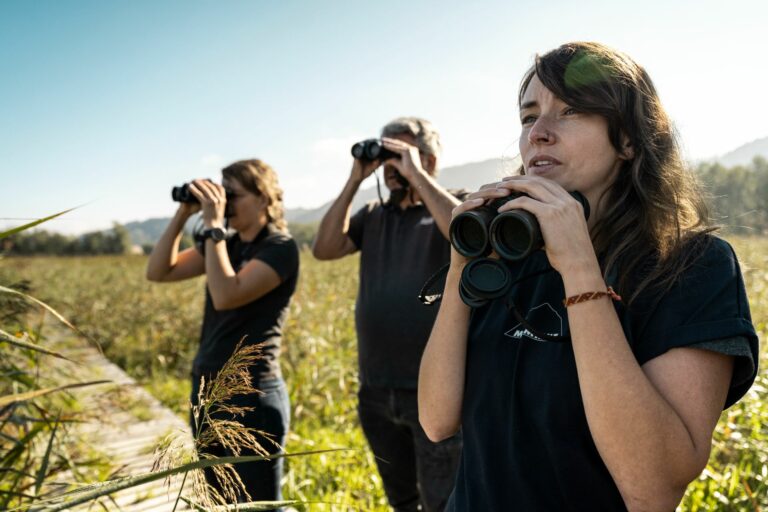
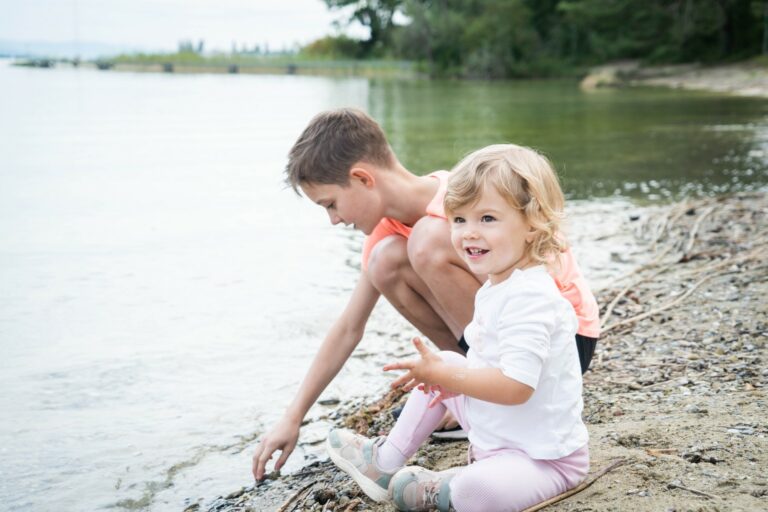
Nature and humans live together harmoniously in the Grande Cariçaie on the southern shore of Lake Neuchâtel. The nature reserve is home to 800 plant species and over 10,000 animal species, who shape the banks under the friendly gaze of passing hikers.
The walk begins in the town of Estavayer-le-Lac, whose narrow streets, with their many historical and architectural gems, are well worth a stroll.
Once leaving the city walls, nature opens up before you. In Font, you enter the Cheyres nature reserve. Only bikes and walkers are permitted from this point onwards. Take the time to read the explanatory panels about the Grande Cariçaie, listen to the frogs singing to their hearts’ content, discover the little hidden beaches and observe the alert wildlife. As you leave the reserve turn left and join the main road to your right, until you reach a hiking trail panel. From Le Moulin, the itinerary takes the hikers along a steep path towards Bethany, passing about thirty meters from the Oratoire de Bonne Fontaine.
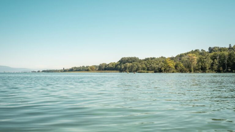
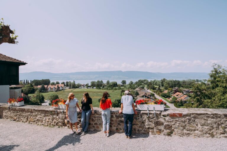
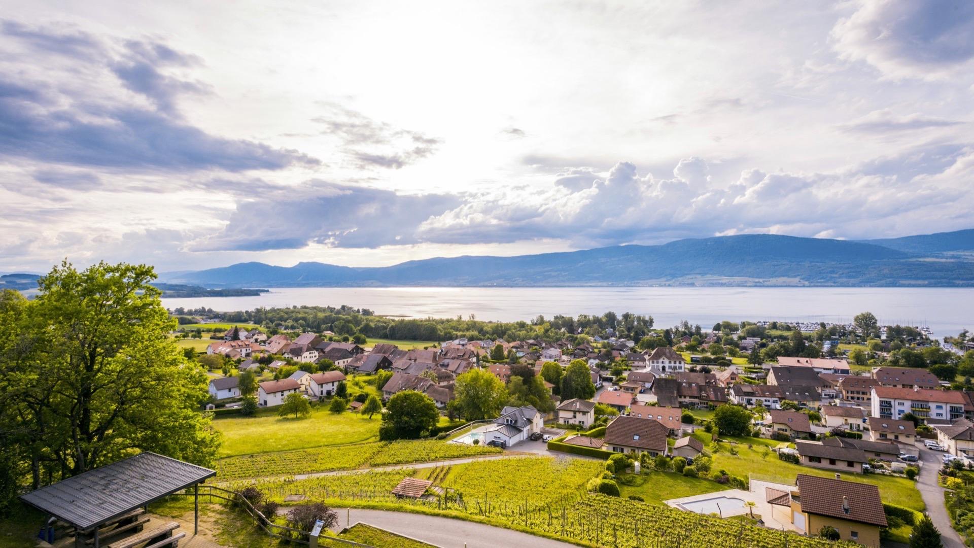
We continue our journey and cross the village of Châbles in the direction of Châtillon following the signs. From the start of the descent to Châtillon, a sign invites us to admire the breath-taking view of the Grande Cariçaie and the Jura from the panoramic lookout. We decide to make a detour. We then retrace our steps and begin our descent into the Châtillon forest and finally Estavayer-le-Lac by the agricultural road.
Tip: there are plenty of cafés and restaurants in Estavayer-le-Lac, some right on the shore of the lake. A picnic on one of the little beaches along the route would also be a pleasant option.
Information
Estavayer-le-Lac Région
Place des Bastians 1
1470 Estavayer-le-Lac
Accessible by public transport: yes
Accessible by car: yes


Properties of the itinerarie
Difficulty: Very easy
Duration: 03:30
Distance: 13 km
Ascent/Descent: +232m / -235m
Altitude min./max.: 431m / 601m
Itinerary type
- Loop itinerary
- Scenic hike
- Educational hike