

Loop walk around Le Châtelard-près-Romont (FR) that leads to the Buvette du Défénant.
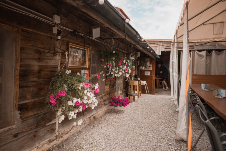
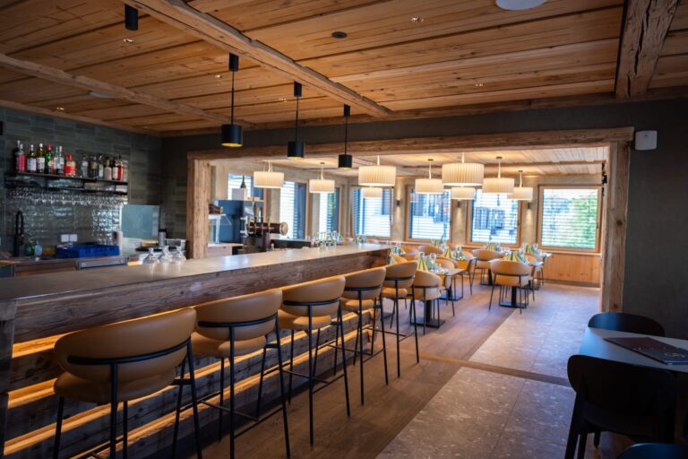
Hiking in the lovely countryside of Glâne. You have the opportunity to make a detour (approx. 700m round trip) for a welcome break at the Buvette du Défénant.
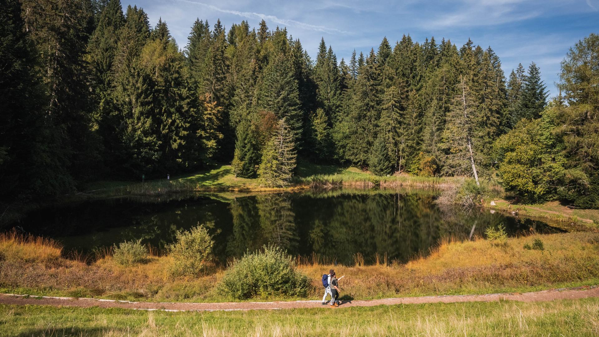
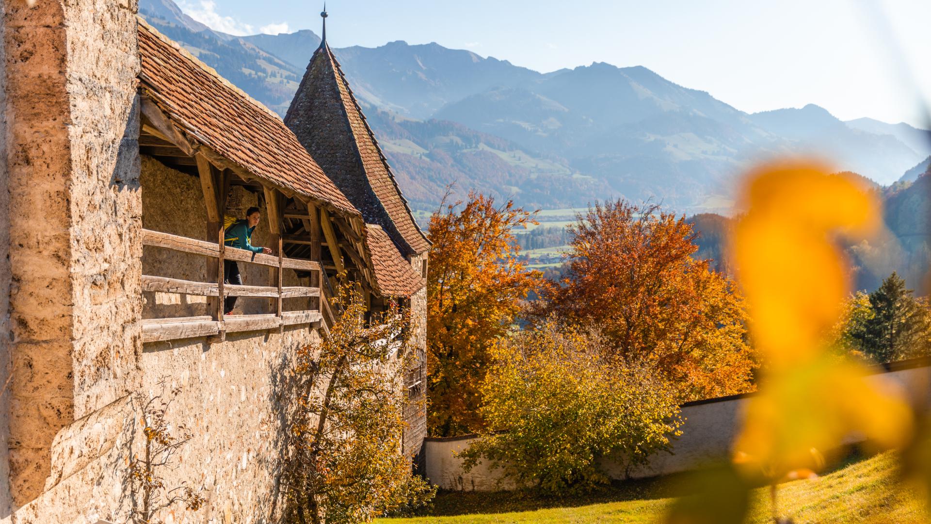
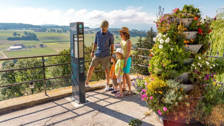
Rolling landscapes, typical of the Glâne region, beautiful spruce forests - the itinerary is located at an altitude between 780m and 1000m - and stunning views of the Fribourg Pre-Alps. Take the time to observe the fauna and flora along your way.
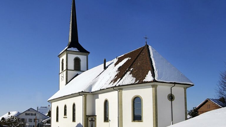
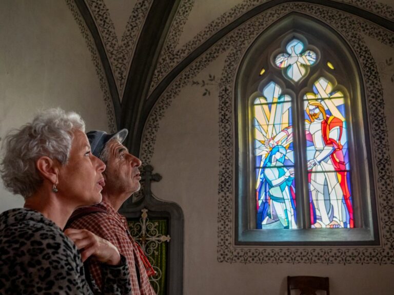
On the first descent from Châtelard, before the left fork into the forest, you can admire Saint-Maurice Church in Grangettes-près-Romont. It is adorned with stained glass by Anselmo Francesconi.
Close to the starting/finishing point is Saint-Bernard Church of Mont-Joux, which features stained glass by Yoki (1964).
Information
Office du Tourisme de Romont et sa région, Rue du Château 112, 1680, Romont
Rue du Château 112
1680 Romont
The starting and finishing point of this hike is the car park opposite the Auberge du Lion d'Or in Le Châtelard
Accessible by public transport: yes | Nearest stop: Le Châtelard FR, Village


Properties of the itinerarie
Type of activity: Sports
Difficulty: Easy
Duration: 02:35
Distance: 9 km
Ascent/Descent: +299m / -298m
Altitude min./max.: 782m / 996m
Itinerary type
- Loop itinerary