Region of Fribourg

The tourist region of Fribourg offers you unforgettable experiences... Lake, city or mountains, discover a real land of values!


Fribourg Meeting offers you the possibility to comfortably organize your future seminars or congresses.

Choose a region

La Gruyère
Fribourg
Estavayer-le-Lac
Region
Region
Murtensee
Schwarzsee -
Senseland
Romont Région
Les Paccots
- La Veveyse

What are you looking for?

Choose a region

Welcome to the website of Fribourg Region and its tourist regions. Please select on the map the region you wish to discover and browse through its offers. We wish you a lot of fun!

swiss map
La Gruyere
Fribourg
Estavayer-le-Lac
Region
Région Lac
de Morat
Schwarzsee-
Senseland
Romont
Les Paccots
You are in the region
Search

Vegetable Path by bike (short path)

Properties of the itinerarie

Type of activity: Family

Difficulty: Easy

Duration: 02:05

Distance: 25 km

Ascent/Descent: +87m / -93m

Altitude min./max.: 430m / 444m

Welcome to the largest vegetable garden in Switzerland! From the beginning of May to mid-October, discover more than 60 different types of vegetables following the marked paths of the Vegetable Path, by bike, on foot or on rollerblades.

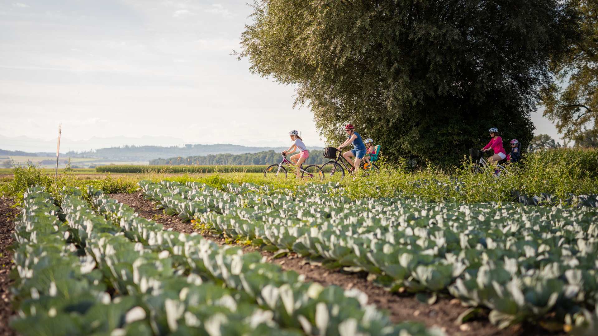
The Vegetable Path invites you to take a relaxing and fun ride in the Seeland, ideal for families. You will discover not only the beautiful landscape, but also market gardening and the passionate work of the local farmers, thanks to the educational panels set up along the way.

There are two possible round tours:
- A 25km route (green), recommended for hikers and rollerbladers
- A 45km route (red), recommended for cyclists

The official start of both tours is at the railway station of Chiètres/Kerzers. There are several train stations on the routes, so you can vary your trip as you wish.

HIGHLIGHT
In Chieser/Kerzers, enter the Papiliorama and go on an adventure in the tropics: fauna, flora and extraordinary discoveries on the programme!

Information

Murten Tourismus
Hauptgasse 27
3280 Murten

Properties of the itinerarie

Type of activity: Family

Difficulty: Easy

Duration: 02:05

Distance: 25 km

Ascent/Descent: +87m / -93m

Altitude min./max.: 430m / 444m

Download files

Report an error

More information

You may also be interested in

We use cookies to provide you with a better experience.

By browsing this site, you accept the Data Protection Policy, as well as the use of cookies to collect statistics for the purpose of continually improving the website.

Close