
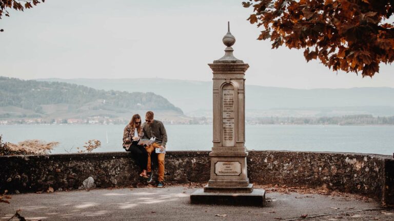
The charming medieval town of Murten is the starting point of this walk.
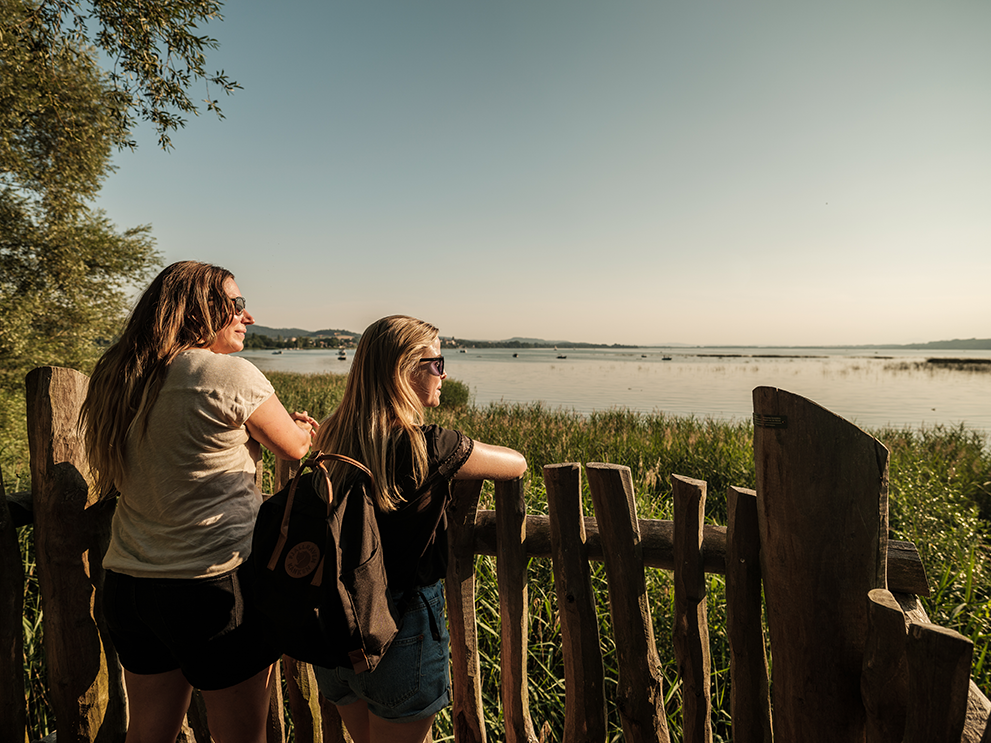
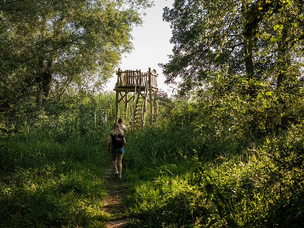
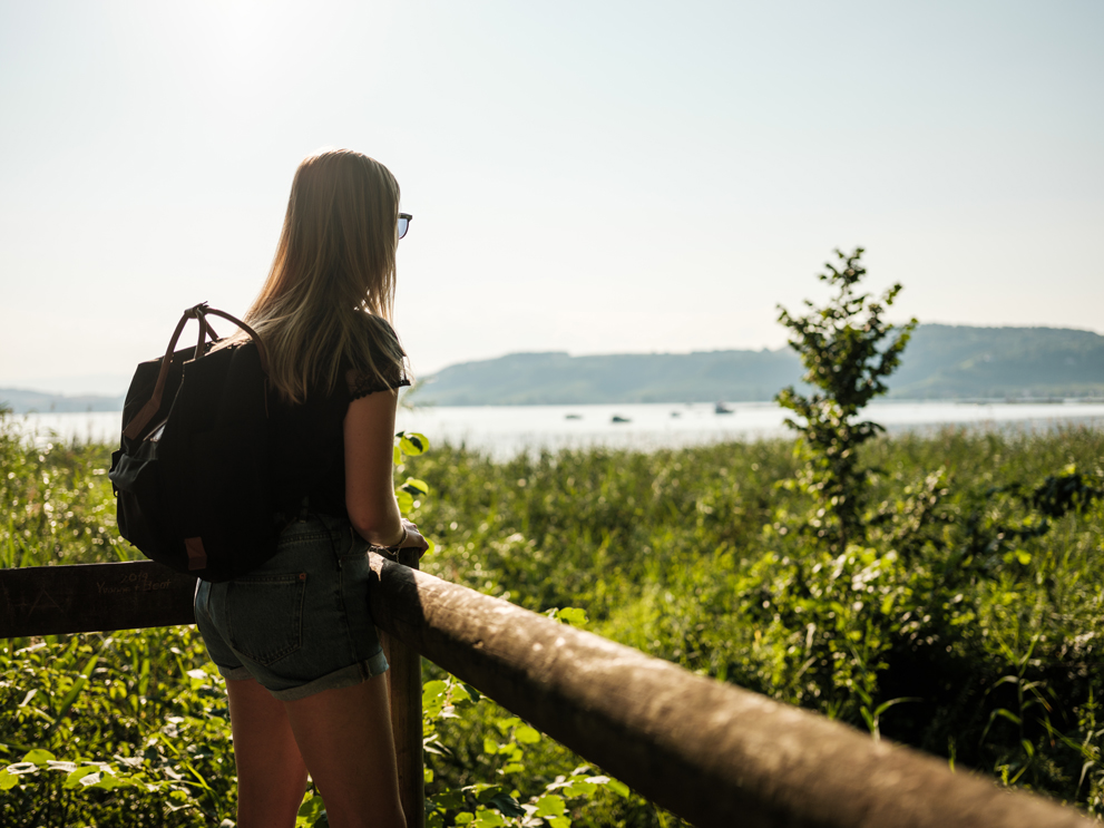
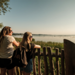
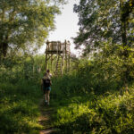
From the boat station in Murten, take the "Chemin du lac", in the direction of Sugiez. At Muntelier campsite, enter in the Chablais nature reserve and continue along the nature path. This forest of deciduous trees and marsh flora was planted at the end of the 19th century to combat erosion following the first Jura water correction and the lowering of the lake level. Ten didactic panels raise awareness of the natural richness of the site. This path, lined with wood chips, offers some platforms that allow you to enjoy the landscape. At Sugiez train station, follow the yellow marked path until Praz, where you will be able to take a boat to go back to Murten.
Tip: Enjoy magnificent sunsets on the terrace of Muntelier campsite or the Beach House in Muntelier.
Accessible by public transport: yes
Accessible by car: yes
Information
Vully Tourisme, Route du Lac 114, 1787, Môtier
Route du Lac 114
1787 Môtier

Properties of the itinerarie
Difficulty: Very easy
Duration: 02:05
Distance: 8 km
Ascent/Descent: +34m / -51m
Altitude min./max.: 429m / 459m
Itinerary type
- Scenic hike
- Family hike
- Along the water