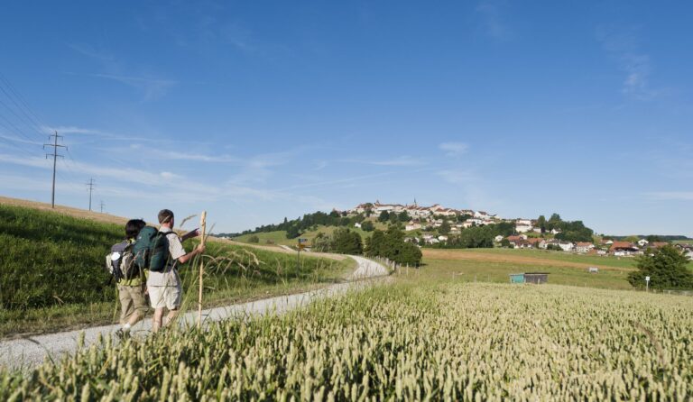
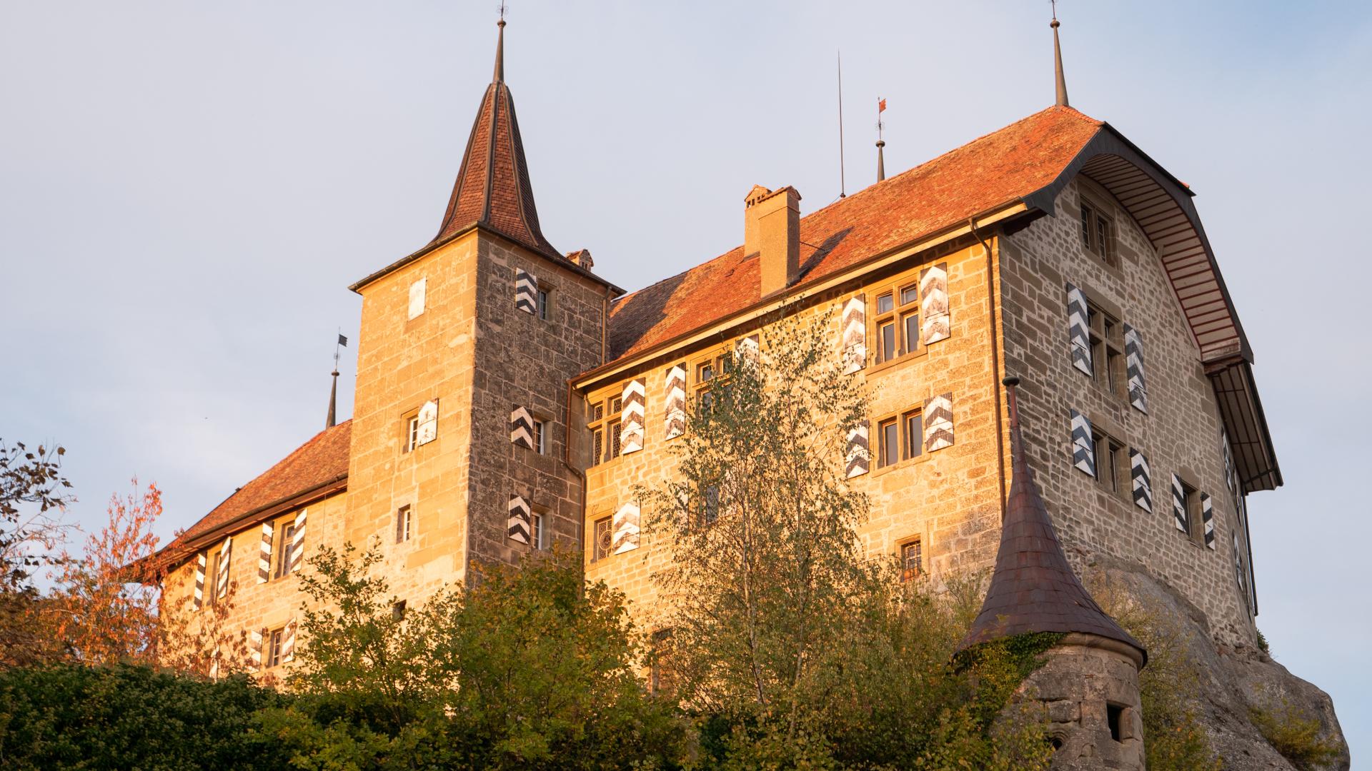
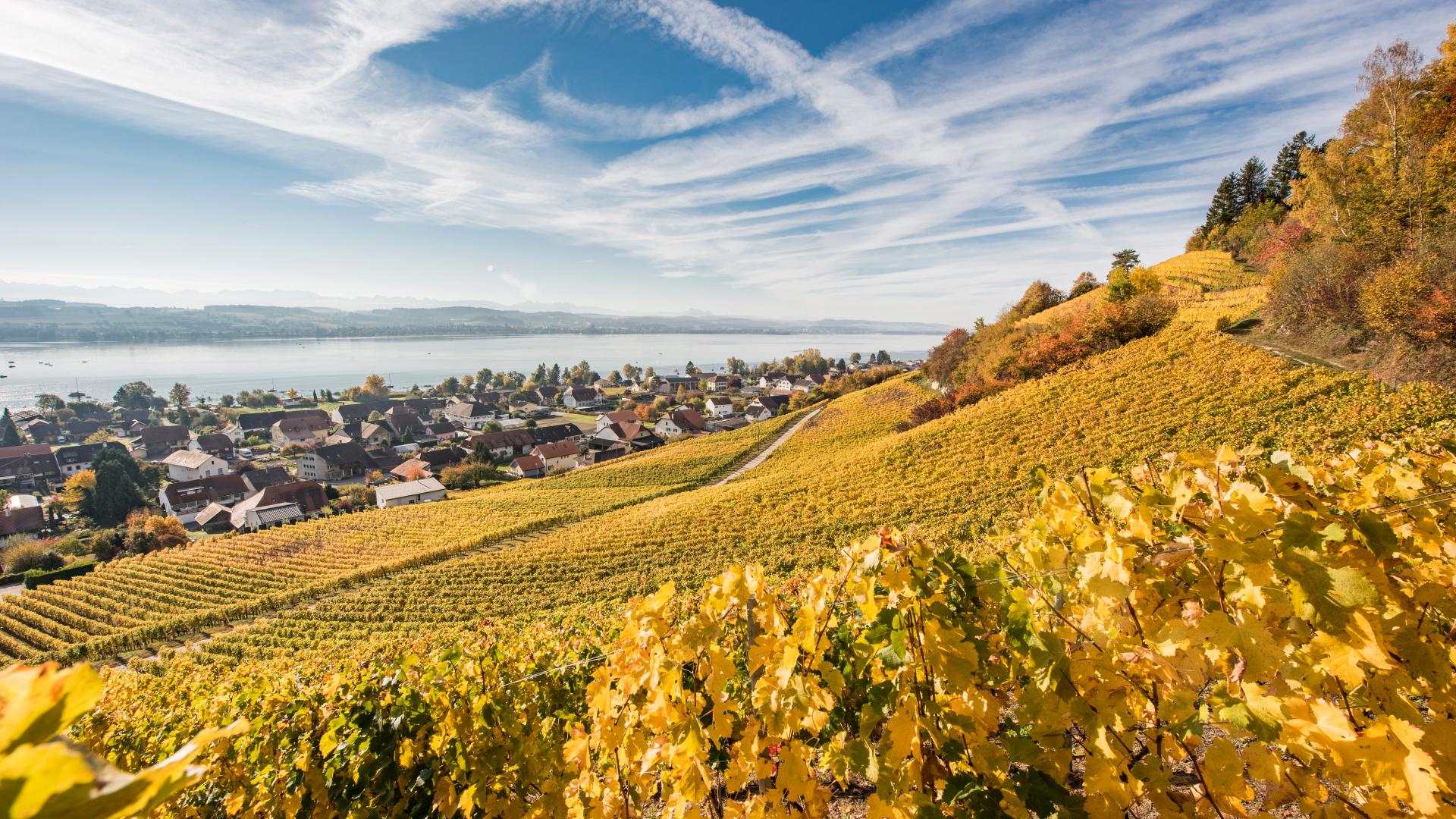
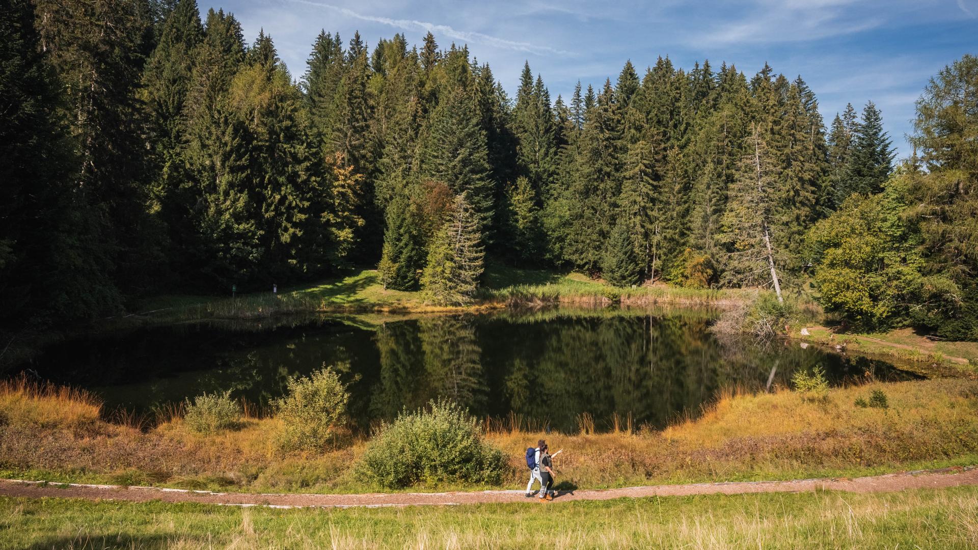
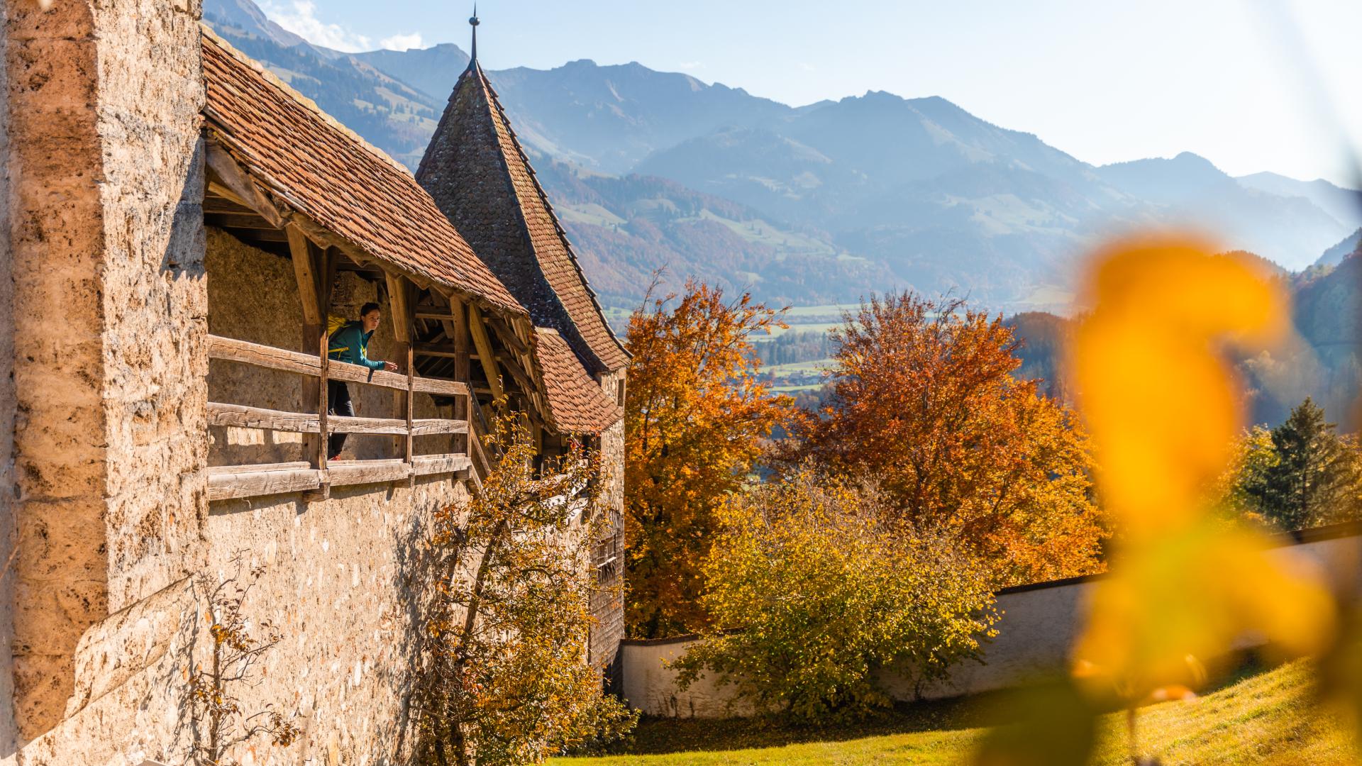
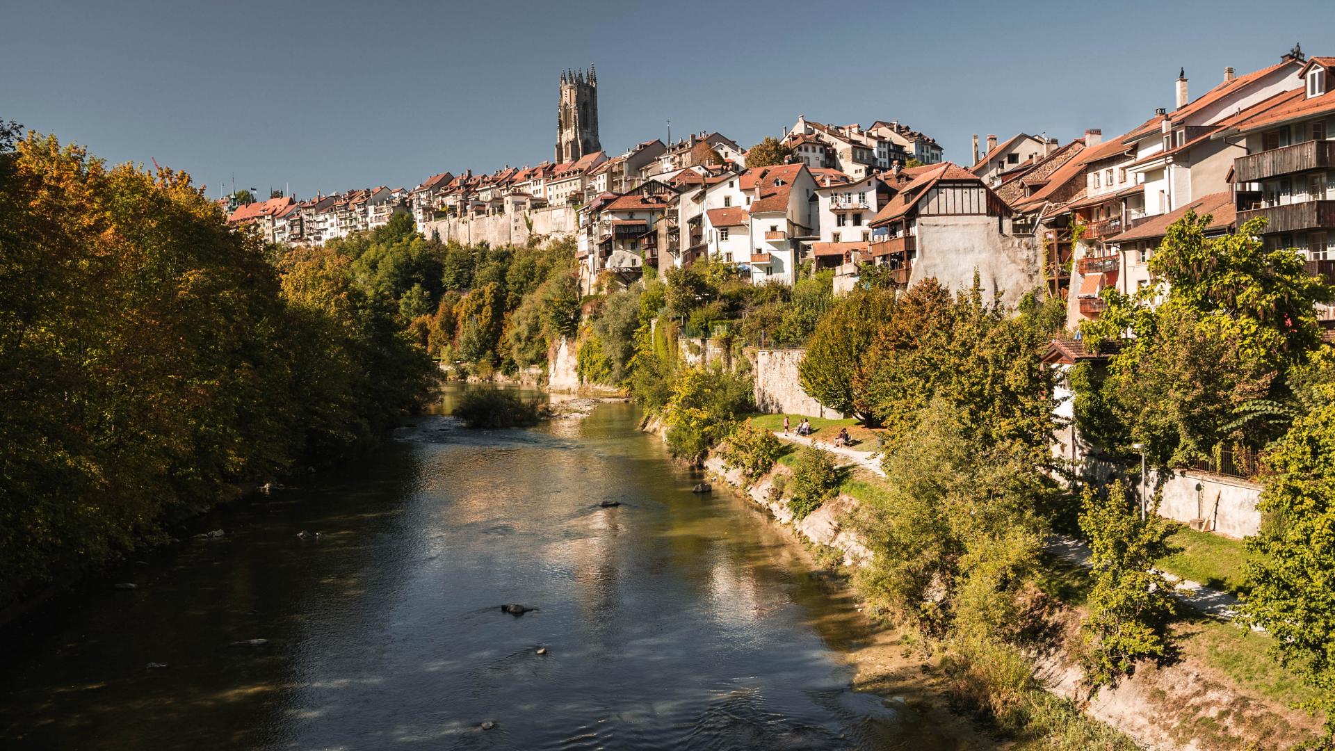
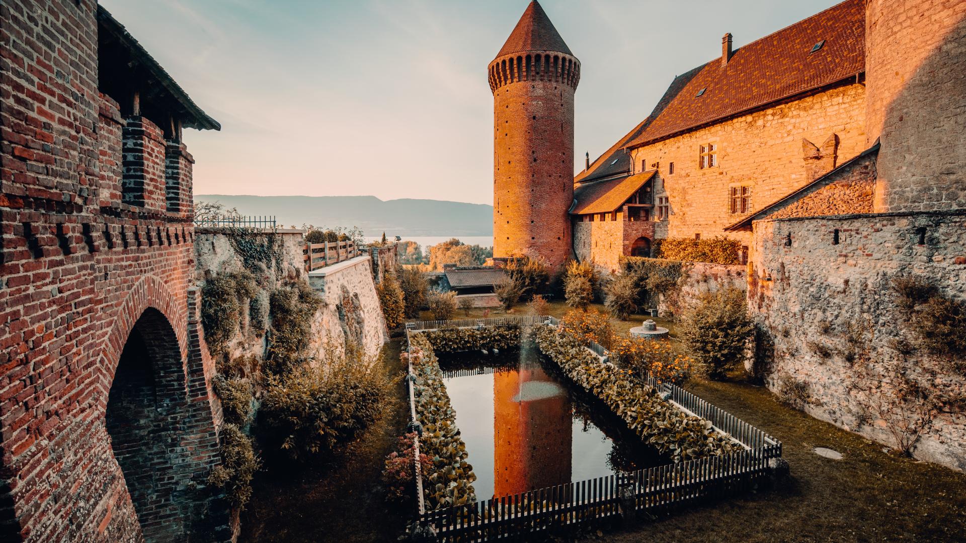

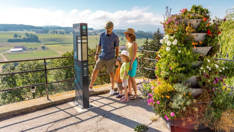
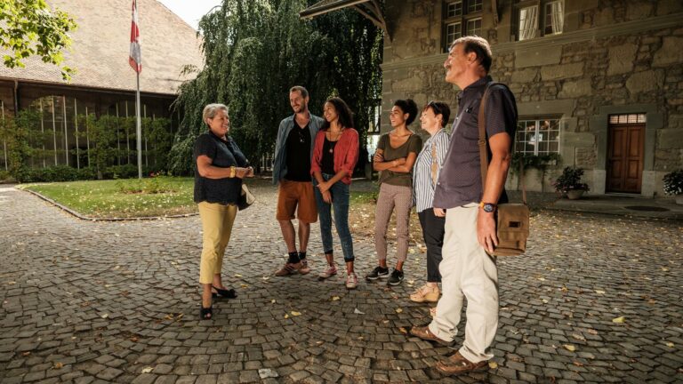

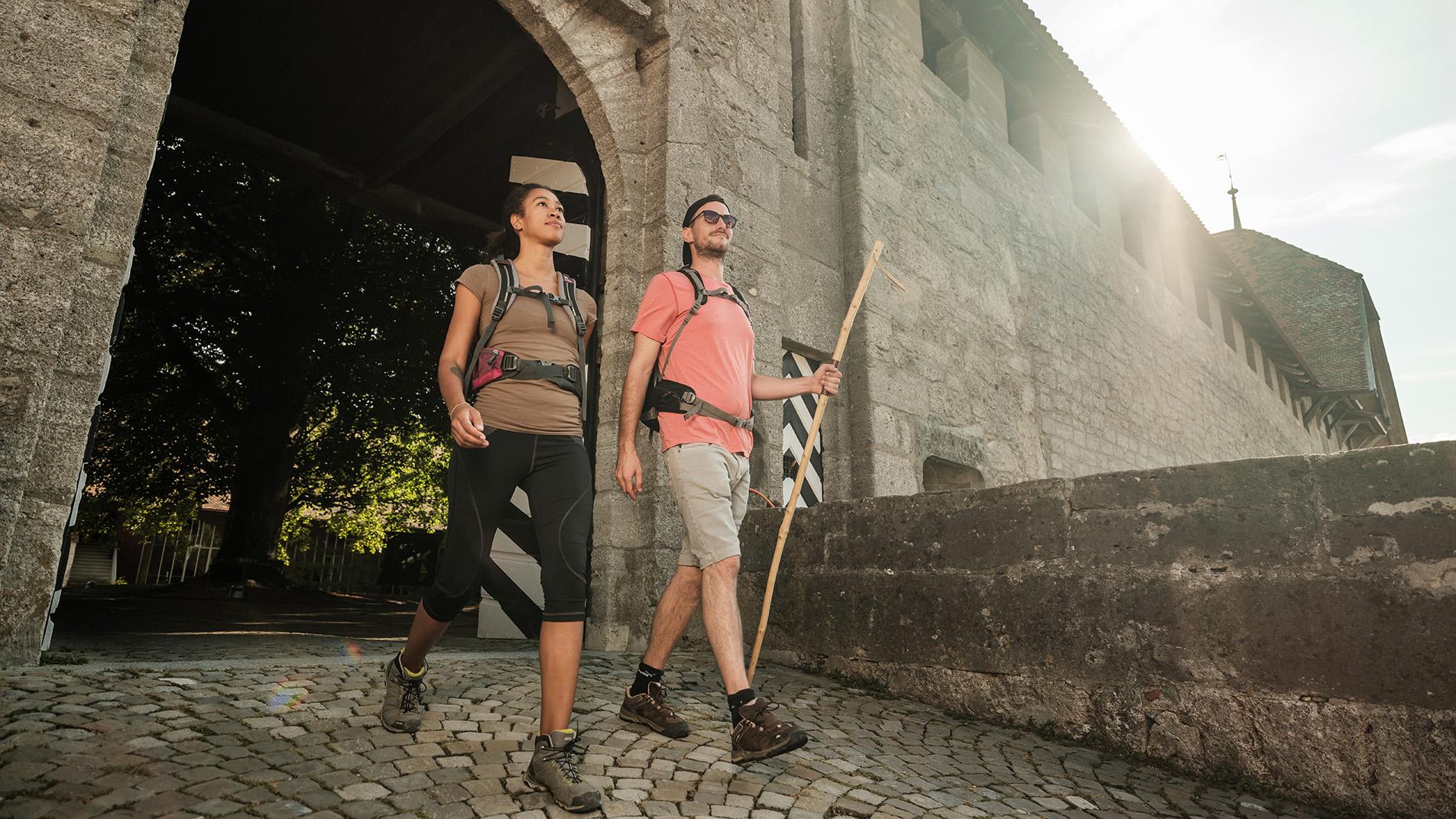
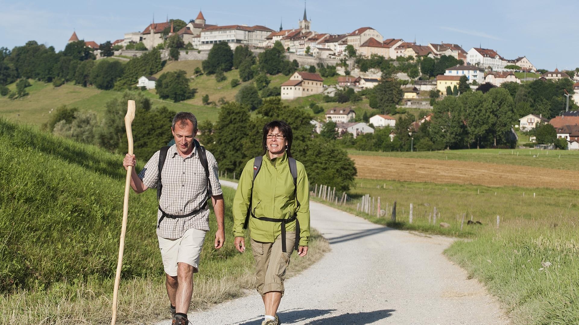
This stage of the ViaJacobi between Romont and Moudon offers lovely panoramas and can be traversed without major difficulties. A common point connects these two charming towns: both once belonged to the Duke of Savoy.
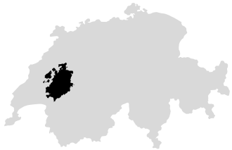
The departure takes place in Romont, a medieval town where glass holds a prominent place, whether in the collegiate church, churches, streets, or naturally at the Vitromusée, a Swiss museum dedicated to stained glass and glass arts. Just outside Romont, you cross the border between the cantons of Fribourg and Vaud by taking a ridge path, offering beautiful unobstructed views on both sides. The descent then leads to Curtilles, from where the route follows the course of the Broye. Upon arrival, the parish church of Moudon is worth a visit for its precious stalls.
The advice: housed in the castle of Romont, the Vitromusée showcases the glass arts through a rich collection of stained glass and glass paintings.
Accessible by public transport: yes
Accessible by car: yes
Romont: Castle and Vitromusée, Collegiate Church of Notre-Dame de l'Assomption
Hennens
Lovatens
Curtilles: Church of Curtilles
Moudon: Château de Rochefort, Château de Billens, Church

Properties of the itinerarie
Difficulty: Moderately difficult
Duration: 08:10
Distance: 15 km
Ascent/Descent: +182m / -450m
Altitude min./max.: 496m / 809m