Region of Fribourg

The tourist region of Fribourg offers you unforgettable experiences... Lake, city or mountains, discover a real land of values! From gastronomy through traditions and hikes up to must-sees, let yourself be inspired by the visit of our website.

Discover the region of Fribourg

Fribourg Meeting offers you the possibility to comfortably organize your future seminars or congresses. Our website gives precious hints and tricks to find the ideal place for your next event.

Découvrir la région de Fribourg Die Region Freiburg entdecken

Choose a region

La Gruyère
Fribourg
Estavayer-le-Lac/
Payerne et Région
Region
Murtensee
Schwarzsee -
Senseland
Romont Région
Les Paccots
- La Veveyse

What are you looking for?

Choose a region

Welcome to the website of Fribourg Region and its tourist regions. Please select on the map the region you wish to discover and browse through its offers. We wish you a lot of fun!

swiss map
La Gruyere
Fribourg
Estavayer-le-Lac
Région Lac
de Morat
Schwarzsee-
Senseland
Romont
Les Paccots
You are in the region

L'Areuse-Emme-Sihl Route (via Kerzers)

Properties of the itinerarie

Difficulty: Very easy

Distance: 51.9 km

Duration: 04:30

Type of activity: Sports

Ascent/Descent: +525m / -400m

Altitude min./max.: 430m / 564m

Discover the regional route n°94, "L’Areuse–Emme–Sihl Route“. The route makes a sweeping arc through a variety of landscapes in seven cantons.

Section 2 Neuchâtel–Bern 52 km
In Seeland, rows of vegetables in all shades of green stand in black soil, ducks and coots bob up and down on idyllic Wohlensee and in Bern, the Zytgloggeturm’s musical mechanism chimes and people enjoy relaxing at small tables on the Bärenplatz.

Information


SwissTrails GmbH
8165 Oberweningen

Height difference
Neuchâtel–Bern: 380 m
Bern–Neuchâtel: 280 m

Helpful hints
Beware: dangerous junctions in St.Blaise and Staatsmoos (Müntschemier). Pushing sections: over footbridge across Saane and approx. 100 m at Wohlensee (steep wooden catwalk in Tuffgraben at Steinisweg).

Signalization
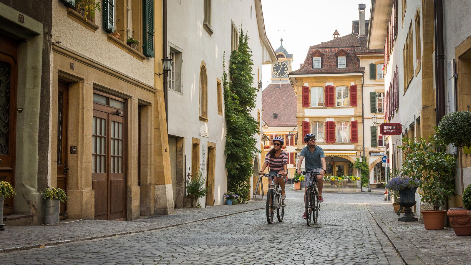
For cycling, follow the logo indicated on the red signposts.

Requirements
Grade: easy/Conditions: easy

Properties of the itinerarie

Difficulty: Very easy

Distance: 51.9 km

Duration: 04:30

Type of activity: Sports

Ascent/Descent: +525m / -400m

Altitude min./max.: 430m / 564m

Download files

Report an error

More information