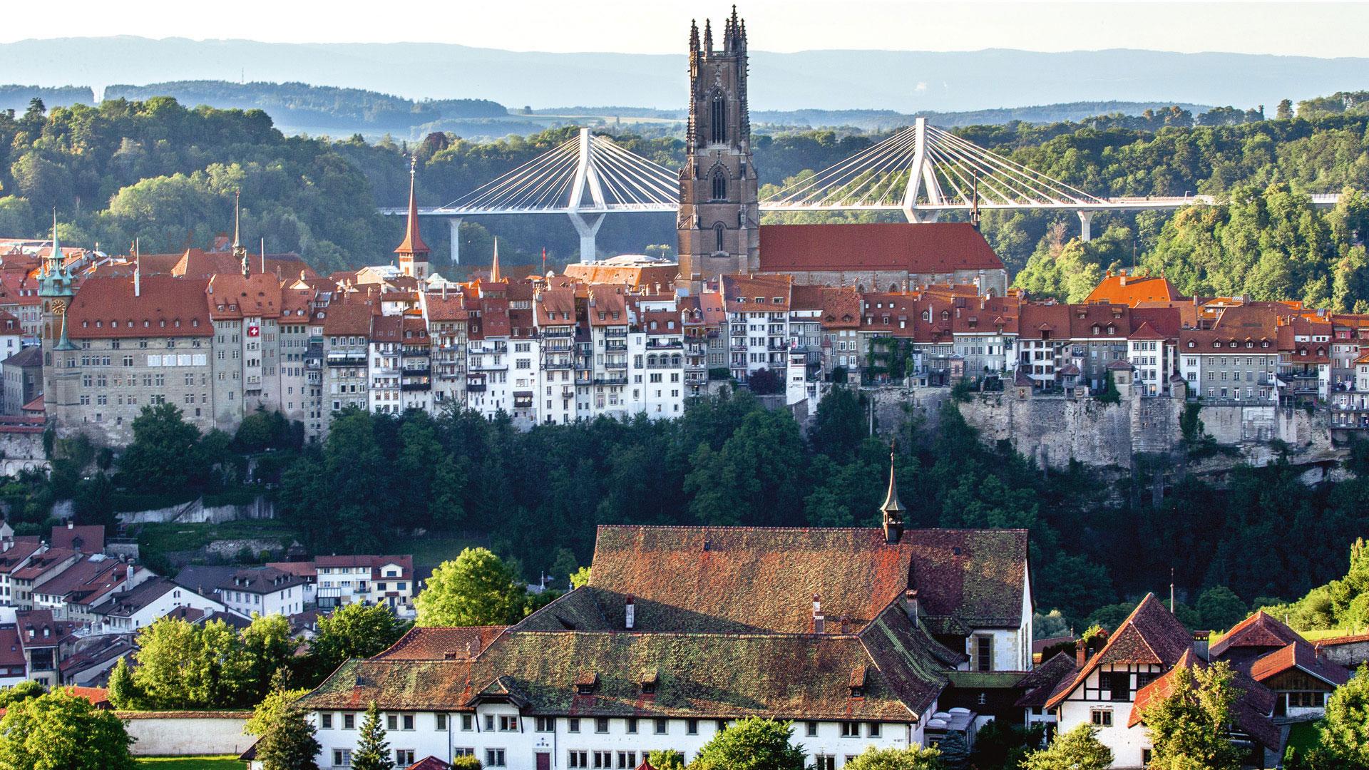
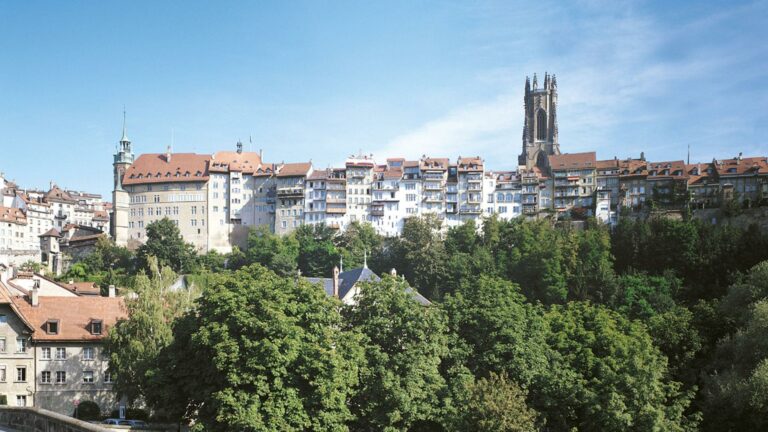
From «cabbage country» through the rugged Sense ravines to Fribourg im Üechtland. The old city with its cathedral and 200 gothic house facades enjoys a picturesque position in a loop of the Saane.
It’s hard to beat the beautiful city of Thun, but a bike tour in bright sunshine while gazing at Stockhorn Mountain is definitely a tempting alternative. Traveling along the tree-lined road to Allmendingen you leave the outskirts of the city behind. It is peaceful here, but not for long. Soon you will hear the rifle cracks from the military training grounds, the last farewell from the army town of Thun.
The plain of the Gürbetal valley was once an extensive low-moor. Initial drainages took place in the early 18th century. Today, the “cabbage land” (Chabisland) is Switzerland’s most important cabbage growing region. But enough sauerkraut for now. The landscape is becoming increasingly bumpier and tiny Ditigsee lake sparkles in the light of the morning sun. The views in the Gantrisch Nature Park are amazing. Near Burgistein, for example, you will see a pretty 16th century Renaissance castle, pleasant farm houses and the awe-inspiring Bernese Alps with Finsteraarhorn, Eiger, Monk and Jungfrau.
Believe it or not, in the small Biberze valley you will cross the Biberze three times and the Schwarzwasser once. The covered wooden bridges across the wild creeks of the foothills were built in the late 19th century. There is plenty of wood here as many a storm has raged in this area. The saying on the Rütiplötsch bridge (heaven protect me from all the dangers of water) is not a coincidence. At the intersection between Bern, Thun and Fribourg is the regional centre of Schwarzenburg. If you leave the village at the Way of St. James, you will cross the Sense River and traverse via Sodbach bridge from Canton Bern to Fribourg. The villages of St. Antoni and Tafers are in the midst of this bucolic area. Take the time to visit the marvellous wooden house built in 1780 where the museum of local history is housed. The university town of Fribourg has a medieval look. More than 200 Gothic buildings have been preserved and the unfinished tower of the St-Nicolas Cathedral is the landmark of this town with its rather cosmopolitan flair.
Requirements
Grade: medium/Conditions: medium
Helpful hints
Beware: busy main roads west of Schwarzenburg and at Tafers.
Properties of the itinerarie
Type of activity: Sports
Difficulty: Challenging
Duration: 06:00
Distance: 54 km
Ascent/Descent: +904m / -846m
Altitude min./max.: 556m / 877m
 2026 IIHF Ice Hockey World Championship


