Region of Fribourg

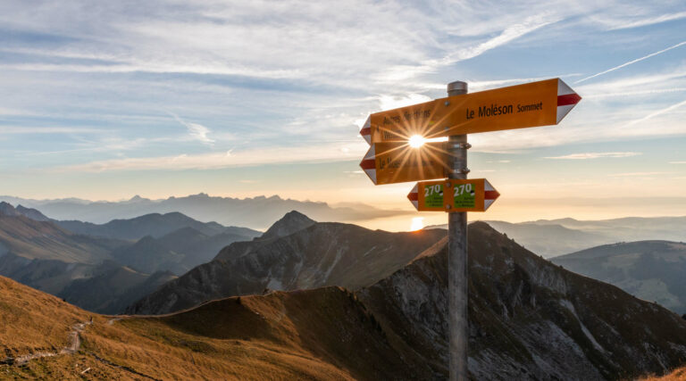
The tourist region of Fribourg offers you unforgettable experiences... Lake, city or mountains, discover a real land of values!


Fribourg Meeting offers you the possibility to comfortably organize your future seminars or congresses.

Choose a region

La Gruyère
Fribourg
Estavayer-le-Lac
Region
Region
Murtensee
Schwarzsee -
Senseland
Romont Région
Les Paccots
- La Veveyse

What are you looking for?

Choose a region

Welcome to the website of Fribourg Region and its tourist regions. Please select on the map the region you wish to discover and browse through its offers. We wish you a lot of fun!

swiss map
La Gruyere
Fribourg
Estavayer-le-Lac
Region
Région Lac
de Morat
Schwarzsee-
Senseland
Romont
Les Paccots
You are in the

Sense–Glâne–Veveyse: Romont-Châtel-St-Denis

Properties of the itinerarie

Distance: 33 km

Ascent/Descent: +538m / -442m

Altitude min./max.: 659m / 861m

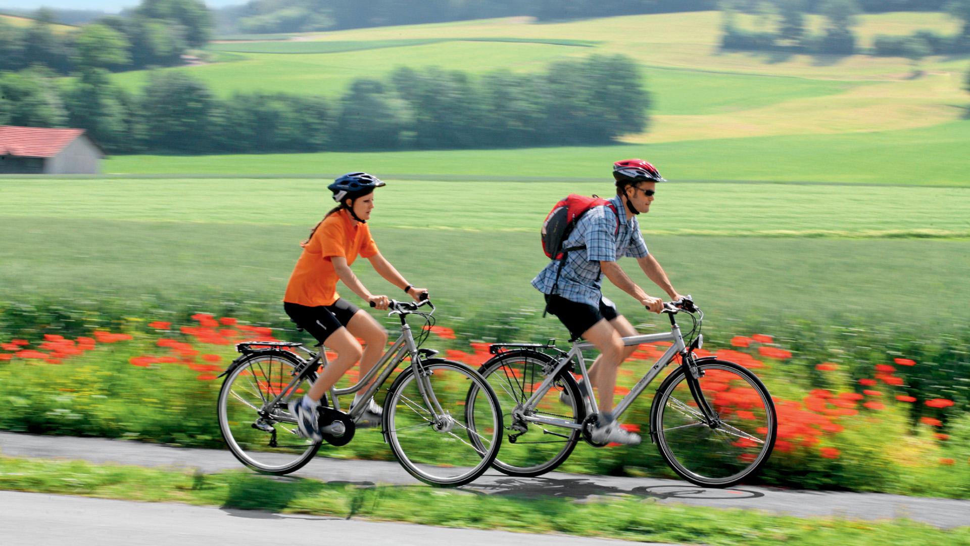
Discover the regional route n°62, the "Sense–Glâne–Veveyse Route“. To the east more rippled, to the west a little flatter. Streams cut their way through lush milk country. Constantly surprising views - of Lac de la Gruyère, the medieval hill town of Romont and an awe-inspiring Alpine panorama.

Section 3
The treasures of the hill town of Romont beckon, the pastures becomes flatter, the views more impressive, the sweeping, contoured countryside challenges your legs, castles wave from rocky ridges and finally the tiny orange train rumbles along to Châtel-St-Denis.

Height difference
Romont (FR)–Châtel-St-Denis: 520 m
Châtel-St-Denis–Romont (FR): 400 m

Requirements
Beware: busy main roads Romont Gare–Billens and at Oron-le-Châtel

Properties of the itinerarie

Distance: 33 km

Ascent/Descent: +538m / -442m

Altitude min./max.: 659m / 861m

Download files

Report an error

More information

We use cookies to provide you with a better experience.

By browsing this site, you accept the Data Protection Policy, as well as the use of cookies to collect statistics for the purpose of continually improving the website.

Close