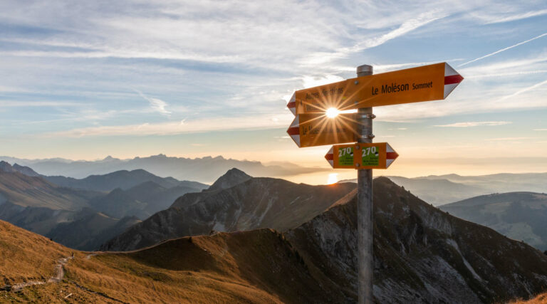
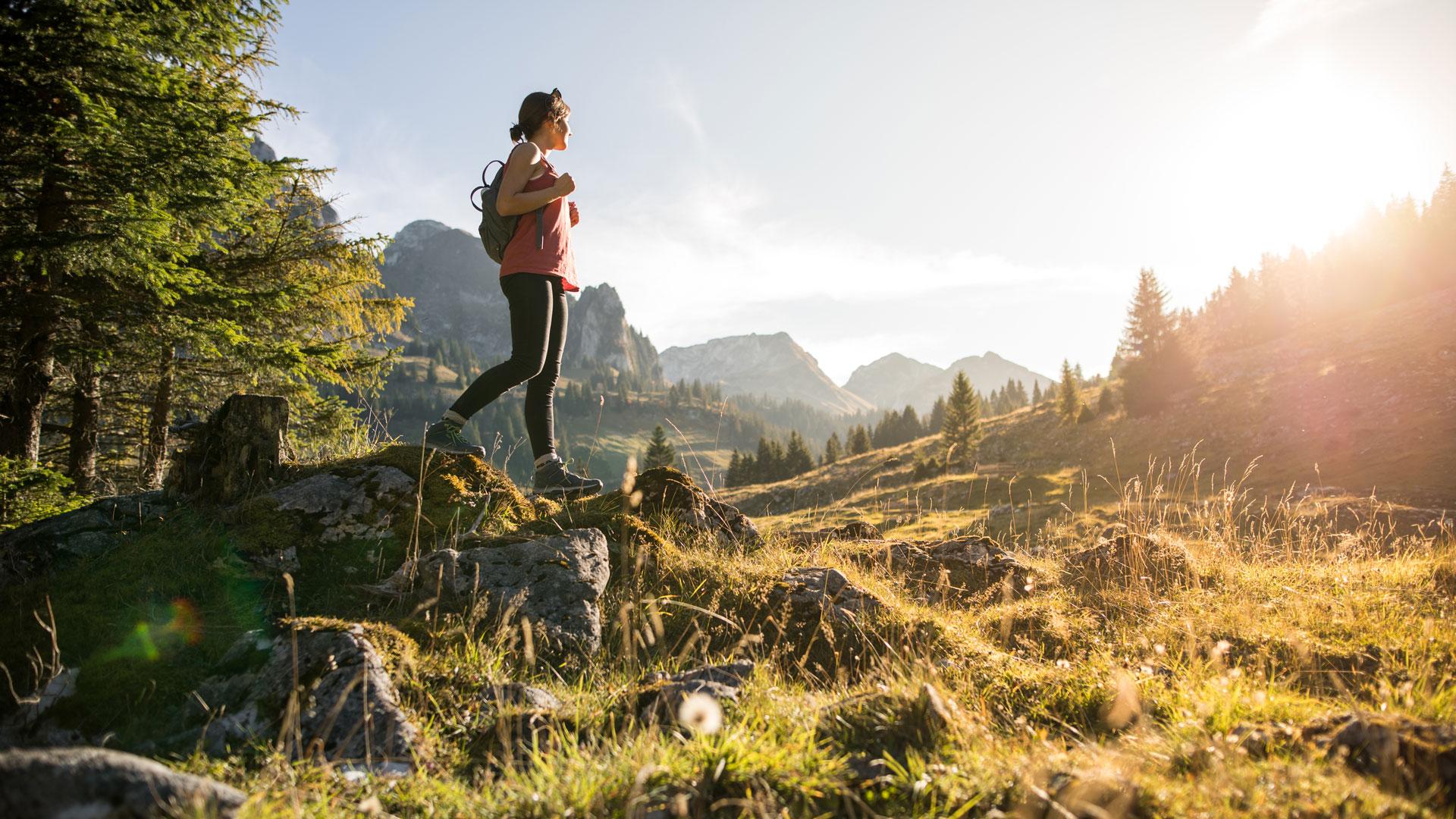
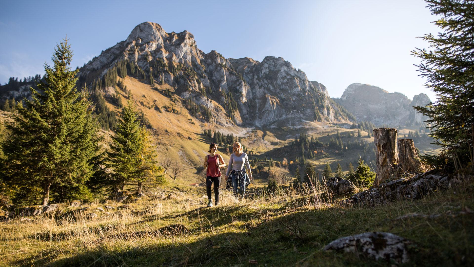
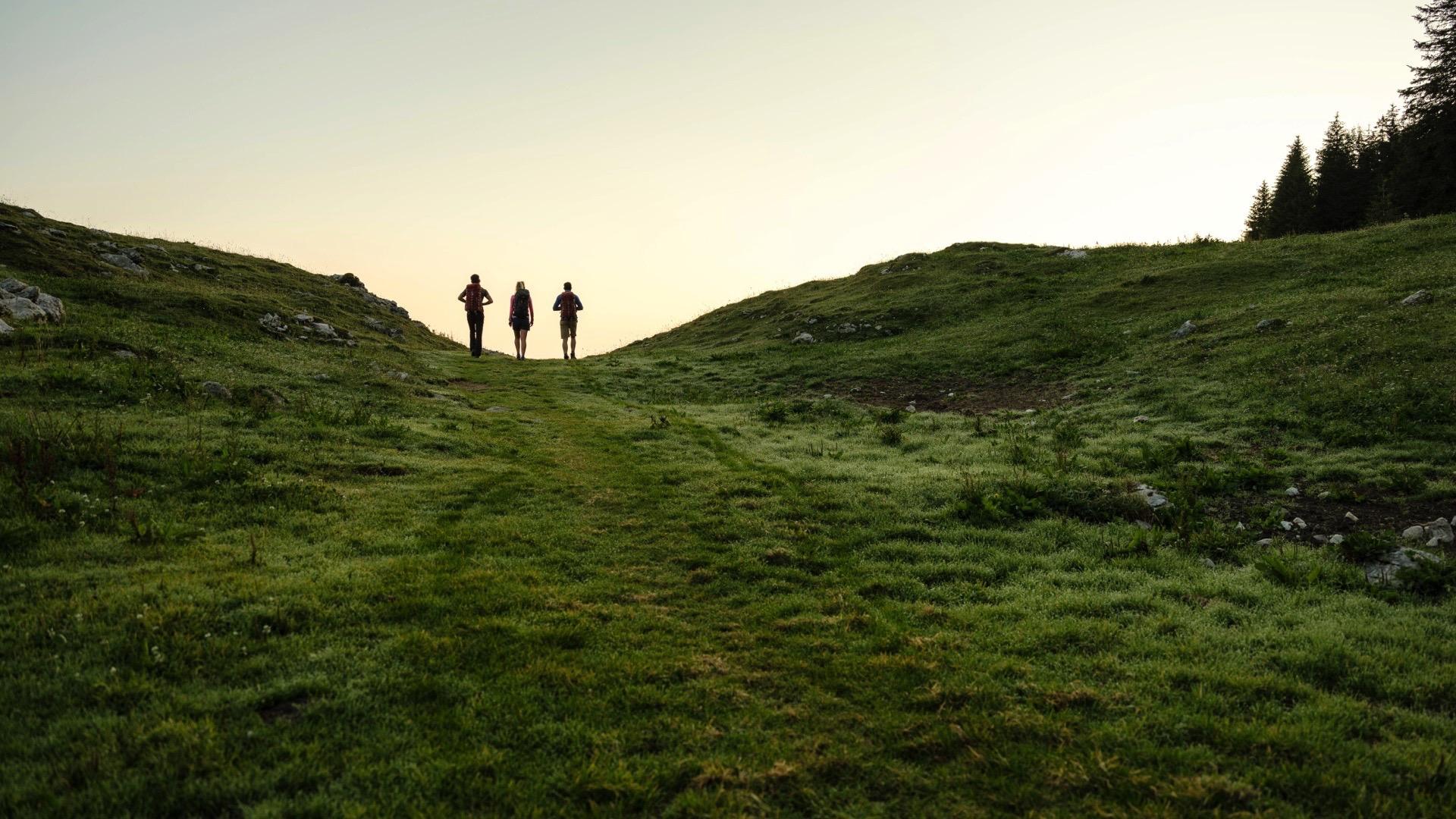
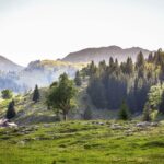
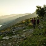
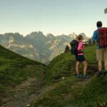
Most of this stage runs along natural footpaths and almost all of it lies within the village of Jaun. It links Schwarzsee to Jaun via the Brecca valley, an exceptional glacial feature, with a fascinating karstic landscape that is home to some very special fauna and flora. The Euschelspassseparates the two valleys. Take the opportunity to discover the Gastlosen mountain chain, with its impressive limestone cliffs, before dropping down to the village of Jaun, with its well-preserved heritage.
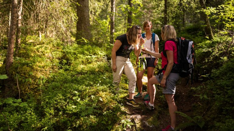
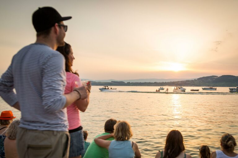
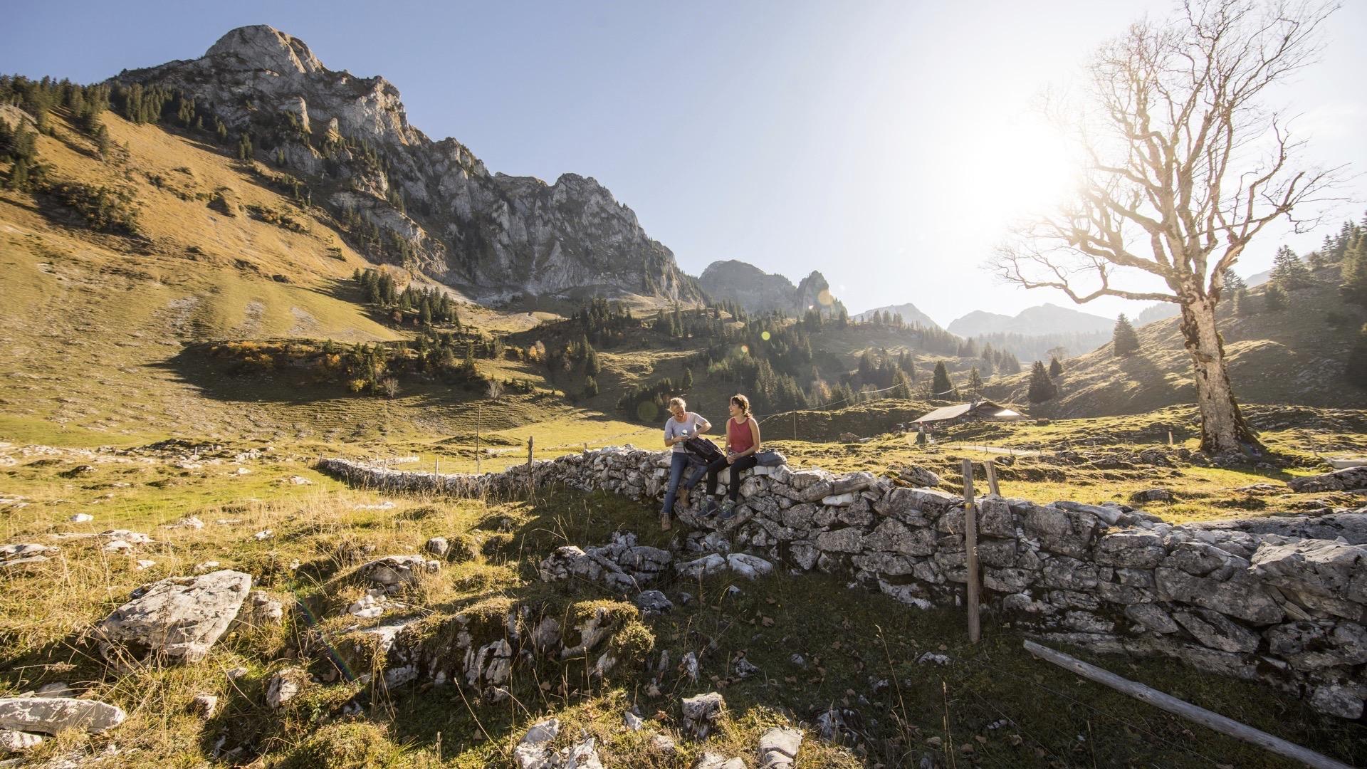
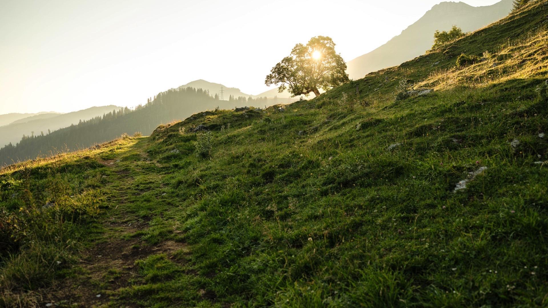
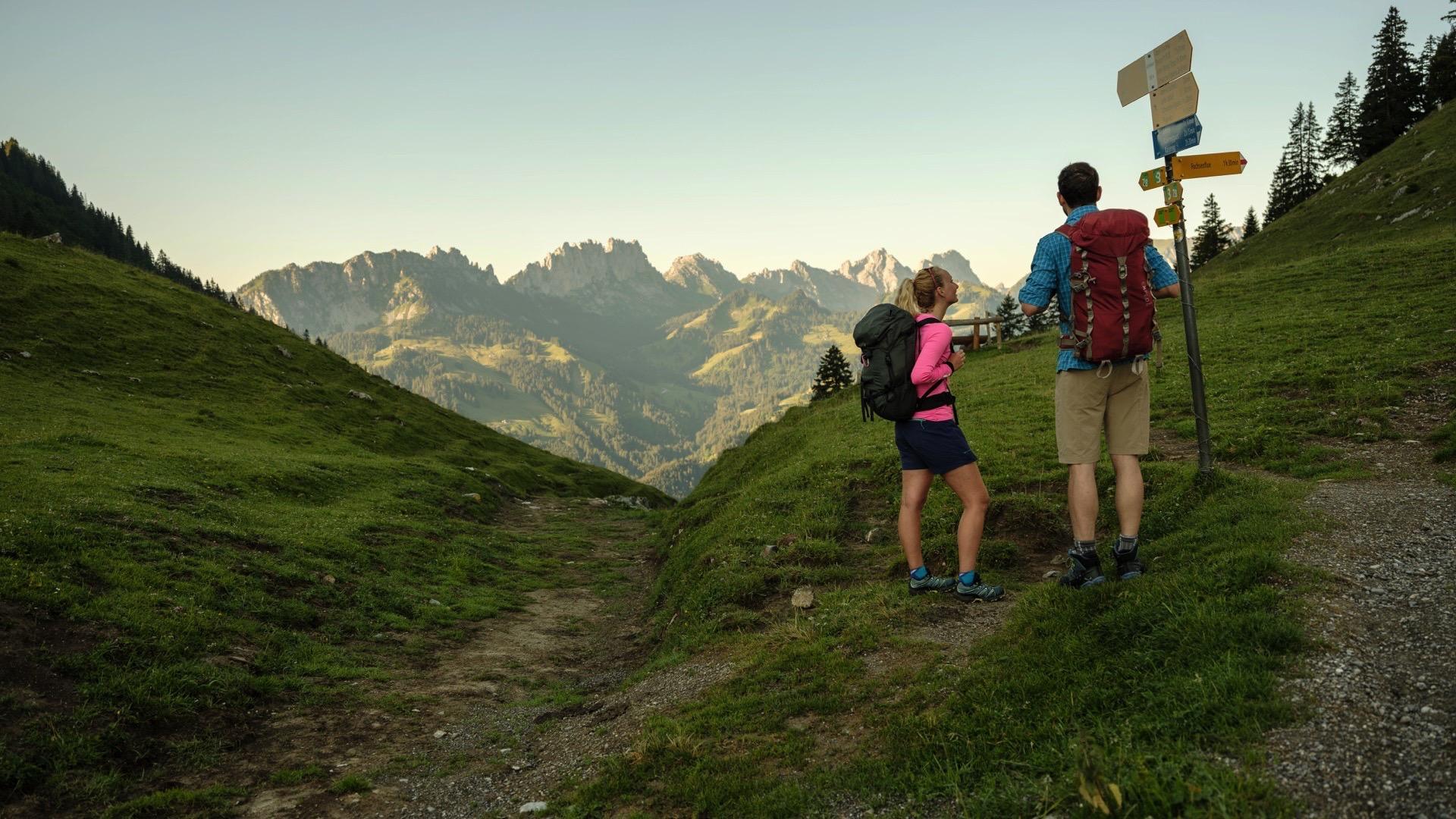
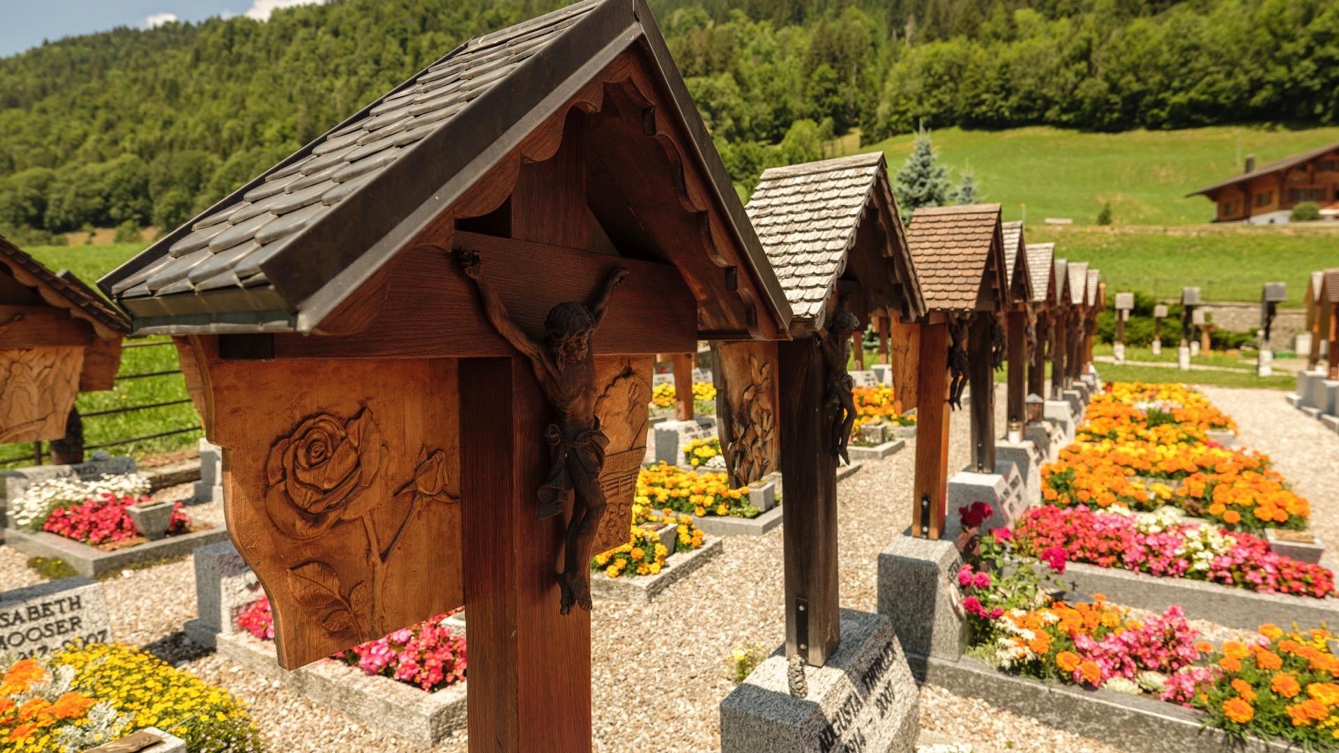
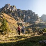
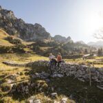
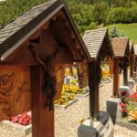
Schwarzsee is in one of the most romantic settings in the foothills of the Fribourg Pre-Alps. Take the time to wander along the shores and make the most of the numerous activities on offer. The route leads you to the Brecca valley, an area that was shaped by glaciers. The rocky limestone slopes are dotted with dolines. The valley, surrounded by La Pointe de Balachaux to the west, the Schopfenspitz to the south and the Chörblispitz to the east, offers an impressive view over Schwarzsee. Old dry-stone walls shape the landscape. You will see mountain maples and if you are lucky, a pair of eagles, a chamois or marmots. The path then climbs gently towards the Euschelspass, framed by the Chällihorn and the Chörblispitz, with a magnificent view over the limestone Gastlosen mountain chain, a paradise for climbers. A short descent takes you down to the Ritzlialp Alpine restaurant. Continue through the pastures to Jaun, the only German-speaking village in La Gruyère area. Jaun is known for its refreshing waterfall and the carved crosses in its cemetery.
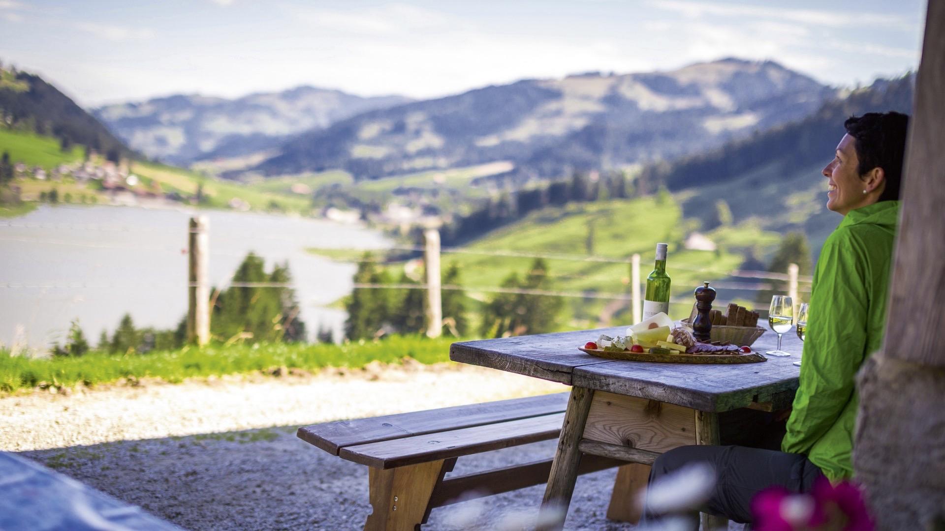
Tip: there are plenty of Alpine restaurants where you can stop for a coffee break all along the route.
Accessible by public transport: yes
Accessible by car: yes
Properties of the itinerarie
Difficulty: Moderately difficult
Duration: 04:15
Distance: 12 km
Ascent/Descent: +625m / -654m
Altitude min./max.: 1018m / 1563m
 2026 IIHF Ice Hockey World Championship


