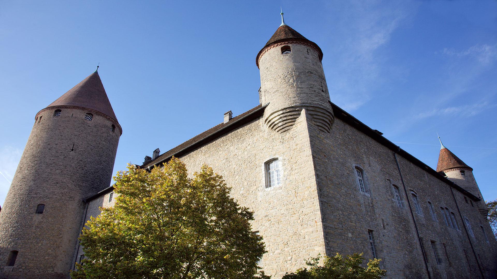
From La Gruyère to the Three-Lakes Region, you will cross the canton’s three main tourist centres: Gruyères, Fribourg and Murten. You will also discover some characteristically Swiss landscapes: the pre-Alpine regions and the undulating agricultural landscapes on the plateau.
The second stage of the trail is the longest of the three. It takes you through landscapes that are typical of the Fribourg region, between pastures, forests and cliffs.
The day starts in Bulle, a mediaeval city that was dependent for a long time on agriculture, before the arrival of the motorway saw it expand rapidly thanks to its ideal geographical location.
Once you have left the town, the administrative centre of La Gruyère, the route takes you through pastures and forests to Mont Gibloux, known for its radio and television transmitter mast, which is visible far and wide. It also marks the border with three districts of Fribourg. The panoramic terrace, 37m up the 118m-high mast, is open from spring to autumn. Panels on the steps of the external staircase describe the history of the universe, the earth and life.
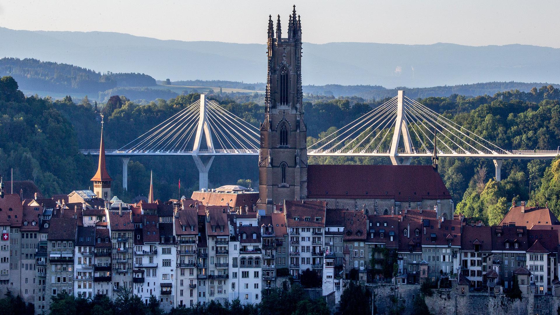
As you descend from Mont Gibloux, you will arrive in Posat, where you join the Via Jacobi that takes you to Fribourg. You will pass a number of emblematic places in the history of the canton of Fribourg, notably at the Sacré-Cœur in Posieux, where conservatives resisted the radicals who had taken power in the 19th century. Next, you will come into Fribourg, where you will walk along the Boulevard de Pérolles, the town’s former industrial area, now a busy street with numerous residential properties.
Possible to leave the trail at this point: yes (there are bus stops in all the villages along the way)
Accessible by public transport: yes
Accessible by car: yes
Difference in height: + 1000m /- 1150m
Properties of the itinerarie
Difficulty: Moderately difficult
Duration: 09:20
Distance: 35 km
Ascent/Descent: +1057m / -1207m
Altitude min./max.: 570m / 1212m
 2026 IIHF Ice Hockey World Championship


