Region of Fribourg

The tourist region of Fribourg offers you unforgettable experiences... Lake, city or mountains, discover a real land of values! From gastronomy through traditions and hikes up to must-sees, let yourself be inspired by the visit of our website.

Discover the region of Fribourg

Fribourg Meeting offers you the possibility to comfortably organize your future seminars or congresses. Our website gives precious hints and tricks to find the ideal place for your next event.

Découvrir la région de Fribourg Die Region Freiburg entdecken

Choose a region

La Gruyère
Fribourg
Estavayer-le-Lac/
Payerne et Région
Region
Murtensee
Schwarzsee -
Senseland
Romont Région
Les Paccots
- La Veveyse

What are you looking for?

Choose a region

Welcome to the website of Fribourg Region and its tourist regions. Please select on the map the region you wish to discover and browse through its offers. We wish you a lot of fun!

swiss map
La Gruyere
Fribourg
Estavayer-le-Lac
Région Lac
de Morat
Schwarzsee-
Senseland
Romont
Les Paccots
You are in the

Three-Lakes route Yverdon-les-Bains–Estavayer-le-Lac

Properties of the itinerarie

Difficulty: Very easy

Distance: 22 km

Duration: 05:30

Ascent/Descent: +138m / -131m

Altitude min./max.: 429m / 479m

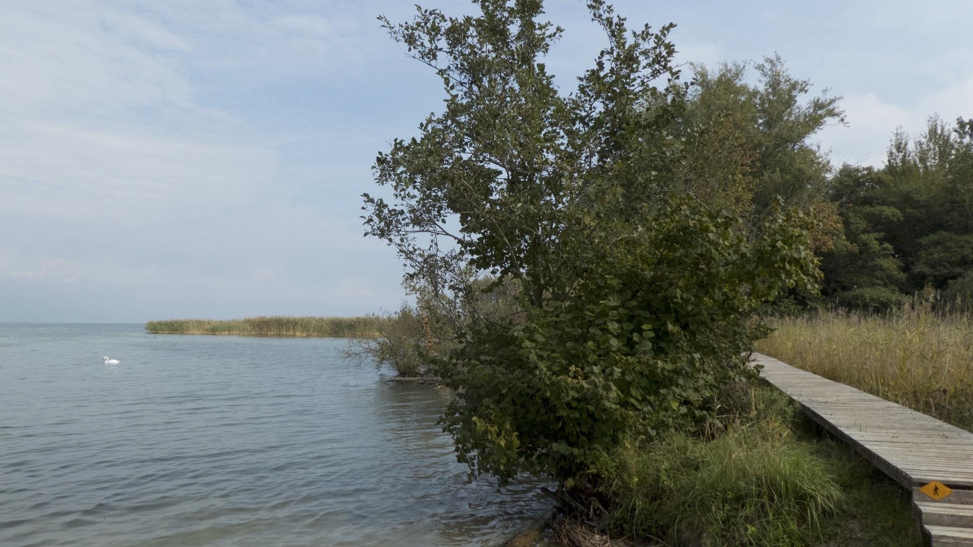
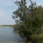
Enter the reed-bed landscape of the Grande Cariçaie via the boardwalks, climb the observation tower and spot numerous aquatic animals.

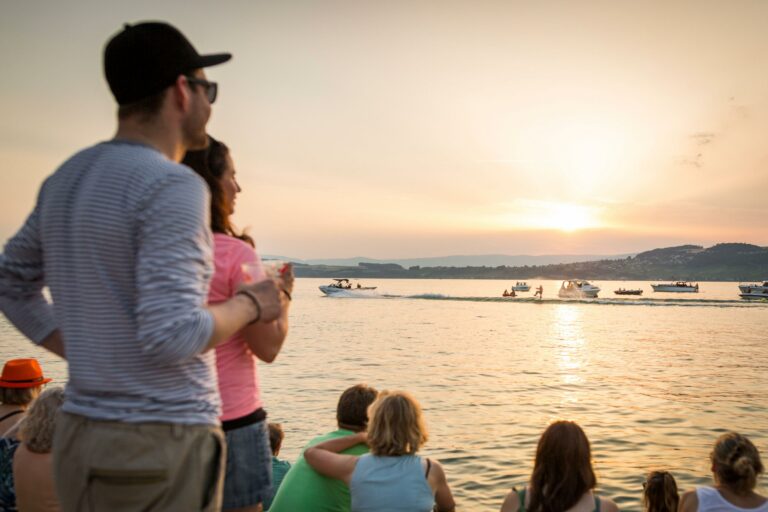
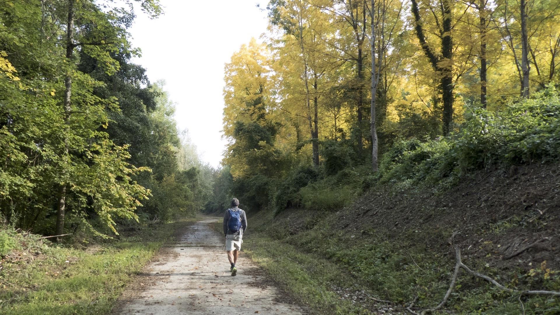
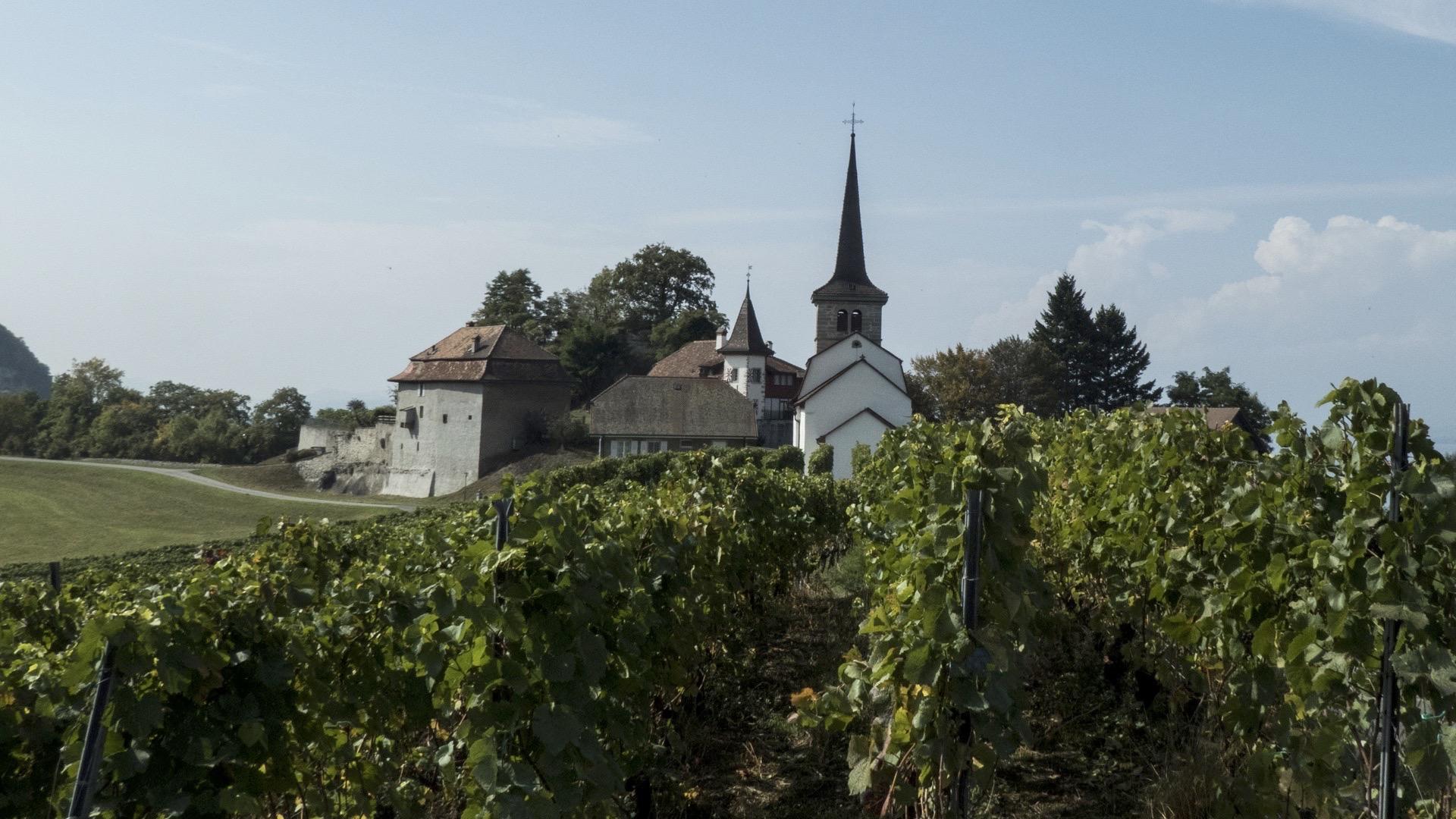
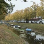
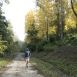
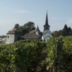
As you leave Yverdon-les-Bains, discover the Grande Cariçaie, the biggest lakeside wetland (or “Grosses Moos”) in Switzerland. An unexpectedly diverse natural environment awaits you on the route through the nature reserve. Cheyres is ideal for a well-earned rest, where you can enjoy the beach and bath or stroll around the harbour. Continue along the road towards Estavayer-le-Lac, a real centre for water sports, particularly for wakeboarding. It is also an exceptional mediaeval town. Its narrow paved streets and historic monuments, the authenticity of the surrounding area and vibrant natural environment may surprise you at first glance.

Tip: Cheyres has plenty of pleasant places where you can recharge your batteries right next to the lake.

Accessible by public transport: yes
Accessible by car: yes

Difference in height: + 260 m / - 260 m

Properties of the itinerarie

Difficulty: Very easy

Distance: 22 km

Duration: 05:30

Ascent/Descent: +138m / -131m

Altitude min./max.: 429m / 479m

Download files

External links

Report an error

More information