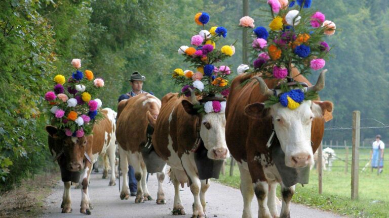
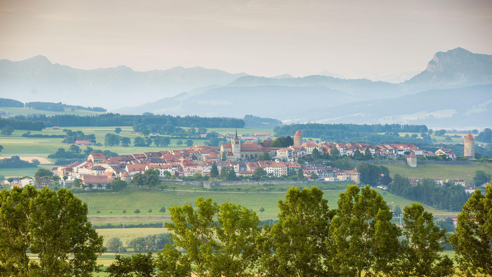
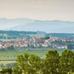
Discover the regional route n°62, the "Sense–Glâne–Veveyse Route“. To the east more rippled, to the west a little flatter. Streams cut their way through lush milk country. Constantly surprising views - of Lac de la Gruyère, the medieval hill town of Romont and an awe-inspiring Alpine panorama.
Tronçon 2
Traversée de la Gérine, qui fait aussi office de «rideau de rösti», limite entre Suisse alémanique et la Suisse romande. Au loin, la silhouette de Fribourg puis descente vers le barrage de Rossens, qui transforma en 1948 une gorge profonde en lac de la Gruyère.
Dénivellation
Plaffeien–Romont (FR): 500 m
Romont (FR)–Plaffeien: 660 m
Bon à savoir
Attention: route principale Les-Chavannes-sous-Romont–Romont Gare très fréquentée
Properties of the itinerarie
Distance: 40 km
Ascent/Descent: +577m / -712m
Altitude min./max.: 661m / 899m