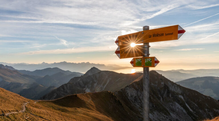
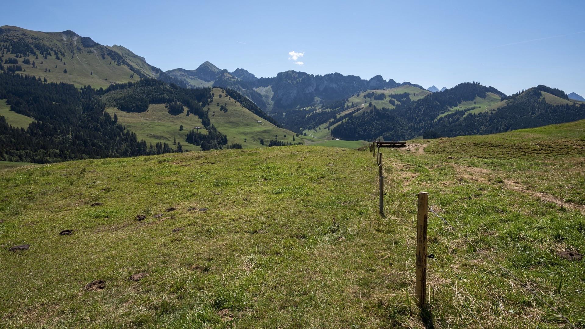
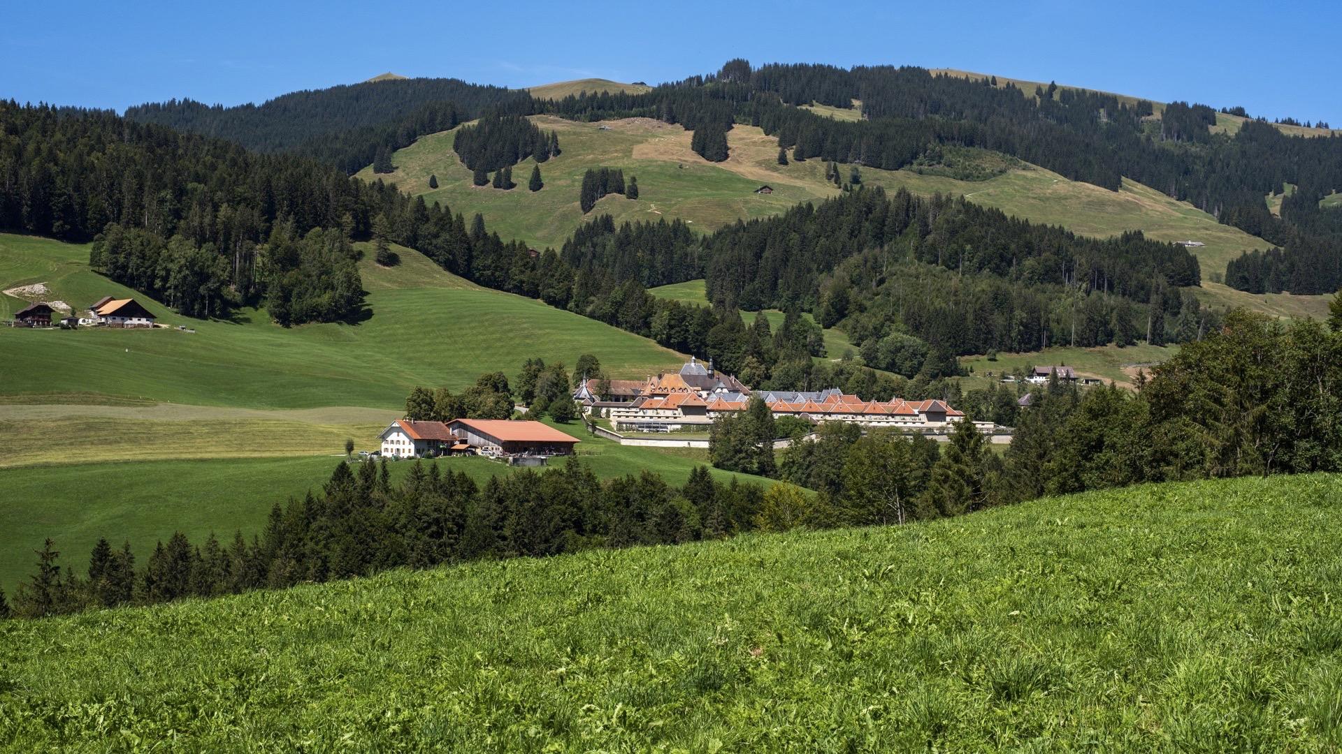
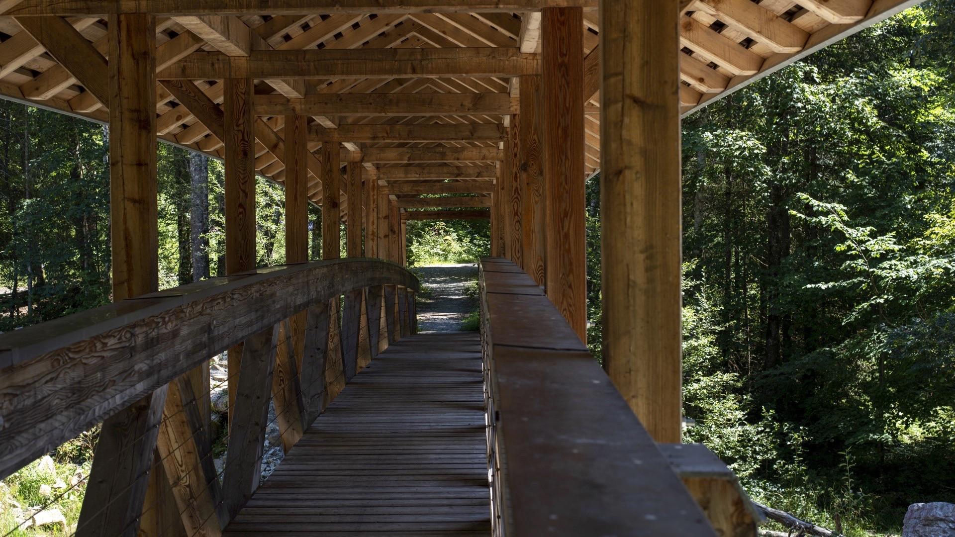
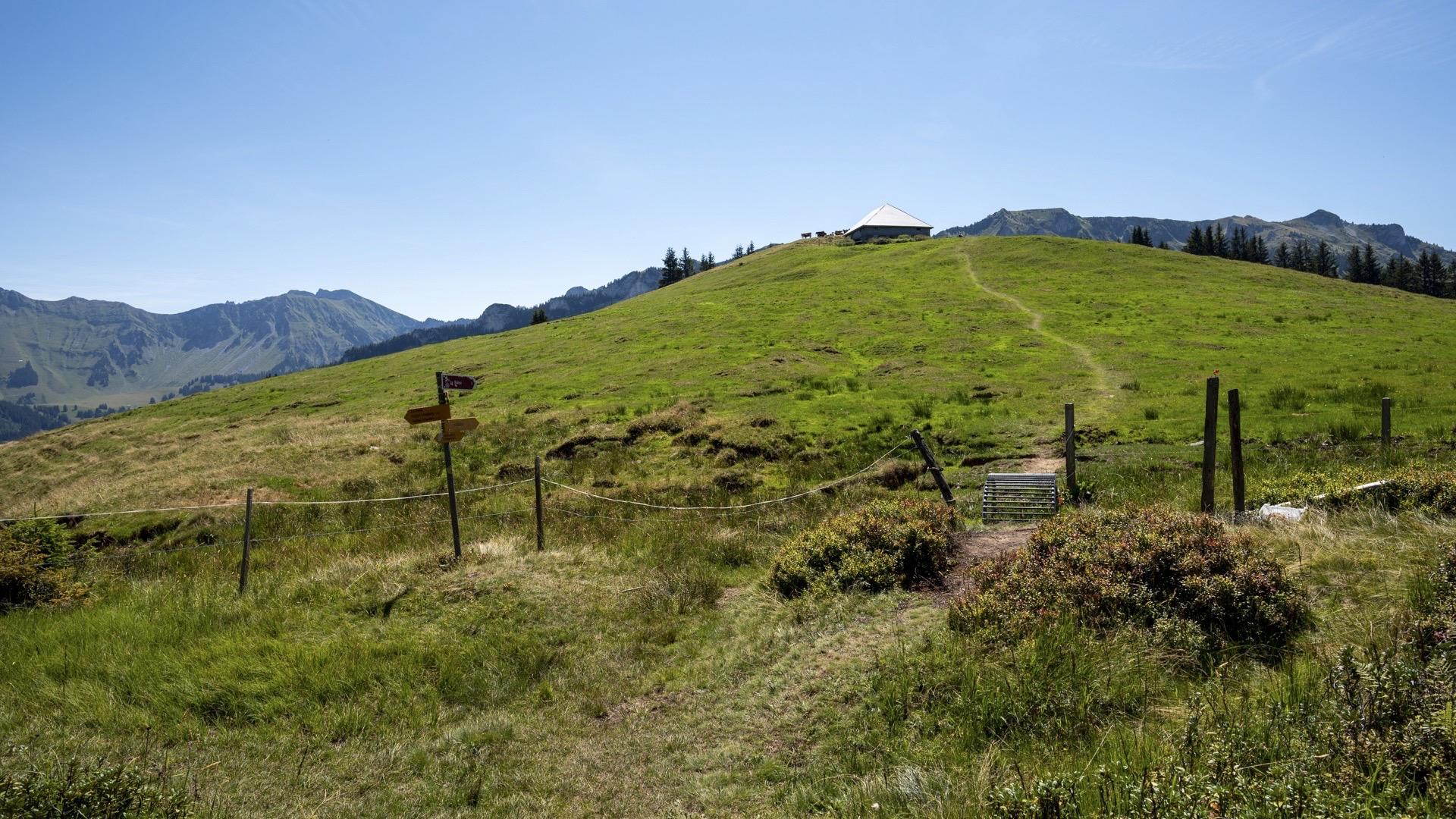
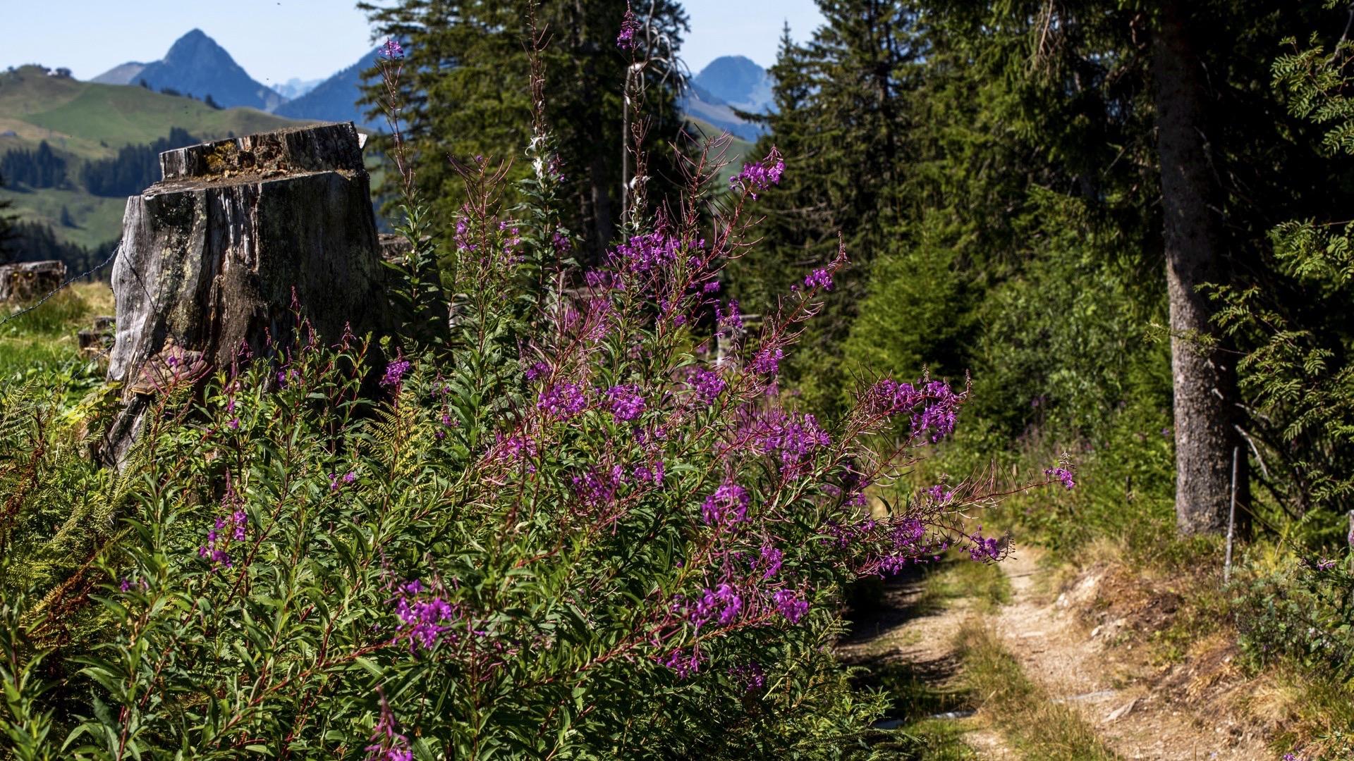
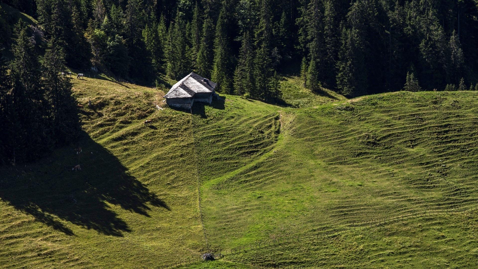
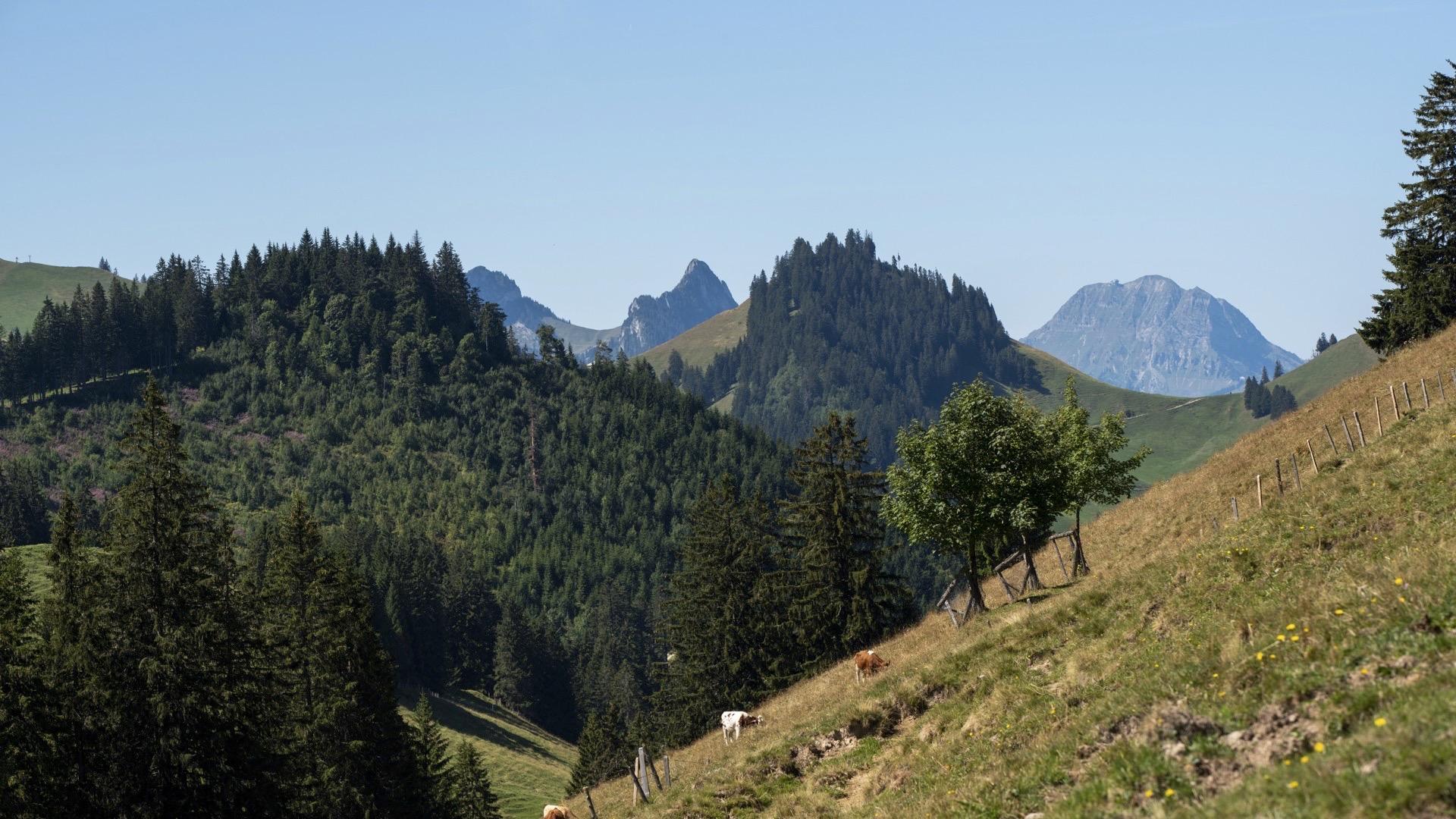
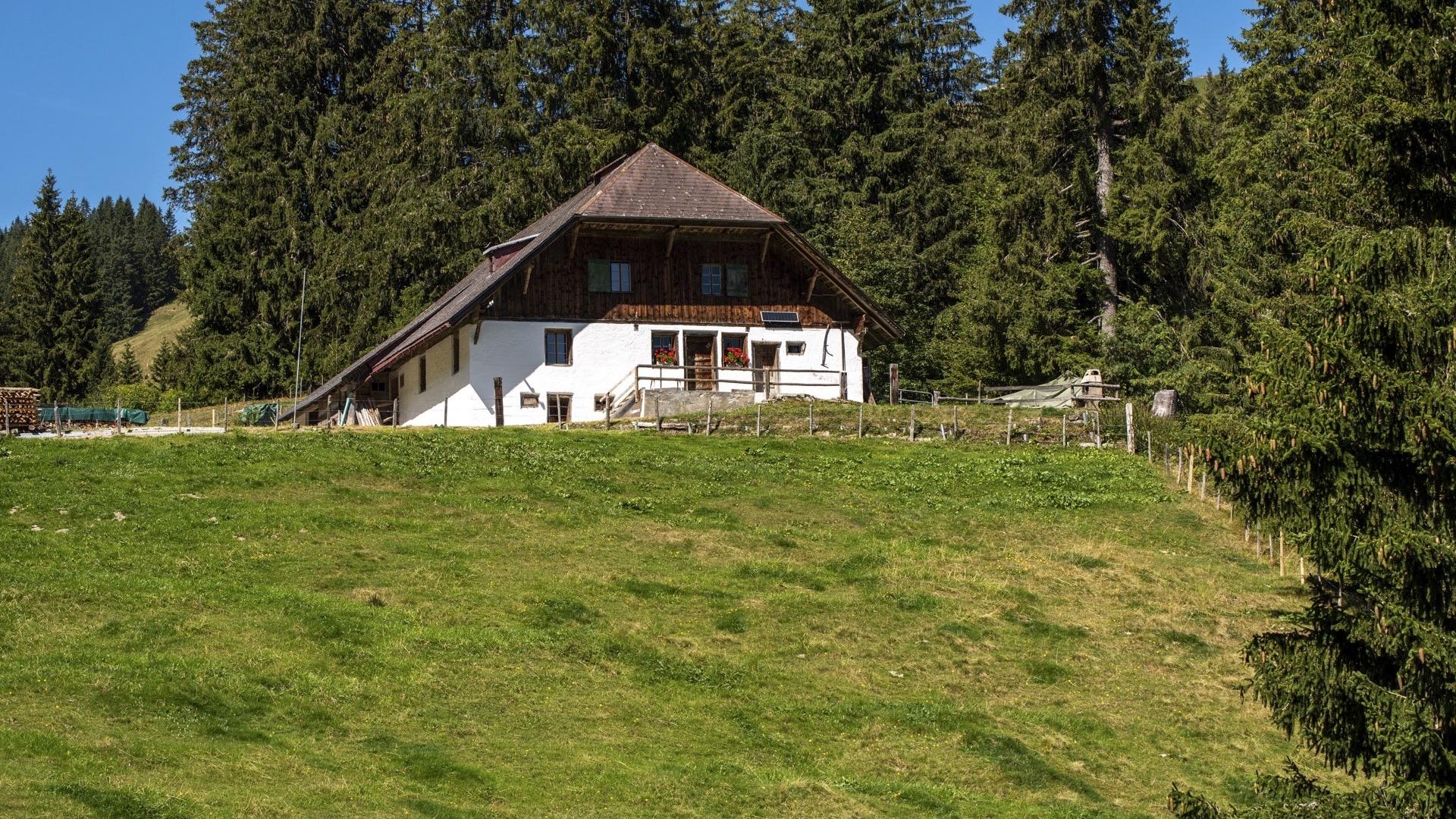
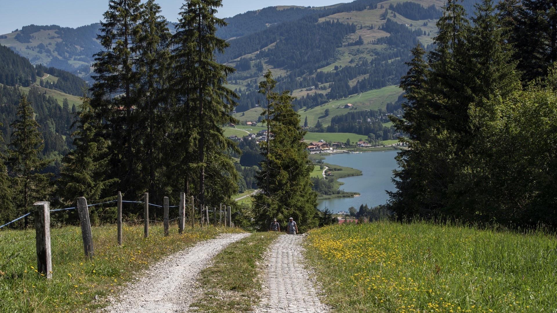
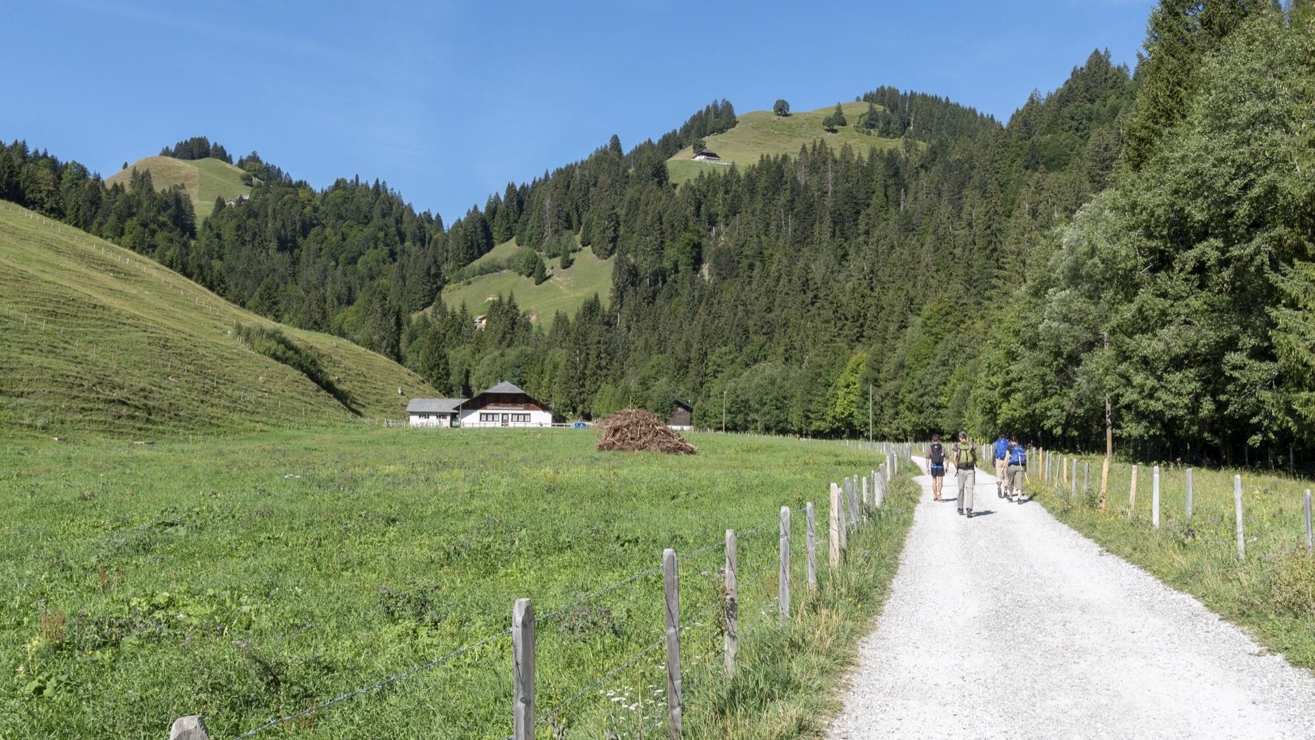
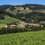
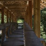
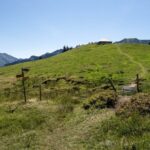
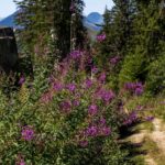
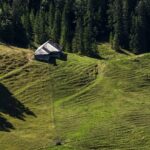
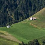
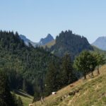
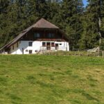
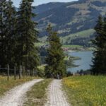
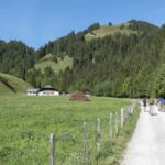
This walk is one of the classics of the Fribourg Pre-Alps. You will cross the area once owned by the monks of La Valsainte and then follow the famous language boundary known as the Röstigraben.
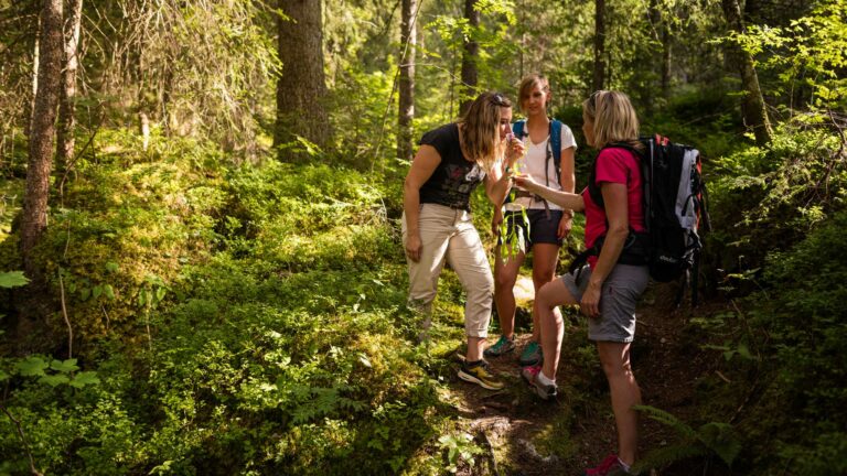
The walk starts in the centre of the resort of Charmey. The history of the village is closely linked to both the production and ageing of Le Gruyère AOP cheese. Head towards the hamlet of Les Ciernes, along the road that plunges down into the Javro valley. Once you reach the hamlet, take the path to the right that runs along the road up on the hillside. This is a themed path that tells you about some of the remarkable trees in the area, among other things. When you reach “Les Blanruz”, continue along the road for a few metres and then head towards La Valsainte, to the left.
Carry on towards Auta Chia via La Pinte des Mossettes – listed in the Gault&Millau guide – and the Feguelénets alpine pasture. Note that “Charmey” and “Auta Chia” have the same origin, both names meaning pastures close to the mountain peaks. The path continues towards an alpine cheese-dairy, La Balisa, whose pasture was once managed by the bailiff of Romont on behalf of the lords of Fribourg. At this point, the names of the farms change and sound more German: you are now on the linguistic boundary, even though you have not yet left the French-speaking commune of Charmey. Head back down towards Schwarzsee via the path indicated, until you reach the main road. Once you get to the bottom, you can take the bus to Schwarzsee Bad or continue on foot along the lake to the resort of La Gypsera, at the other end of the lake.
Tip: you can take the Alpine bus from Charmey to La Valsainte.
From Charmey, you can also take the cable car to Vounetse, then head back down towards the Pré de l’Essert and the chapel to get back to La Balisa. This variant is less commonly used than the route described above.
Accessible by public transport: yes (recommended)
Accessible by car: yes (return by public transport is long)
Difference in height: + 840 m / - 661 m
Properties of the itinerarie
Difficulty: Moderately difficult
Duration: 05:00
Distance: 17 km
Ascent/Descent: +801m / -622m
Altitude min./max.: 867m / 1536m
 2026 IIHF Ice Hockey World Championship


