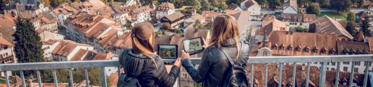

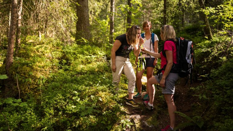

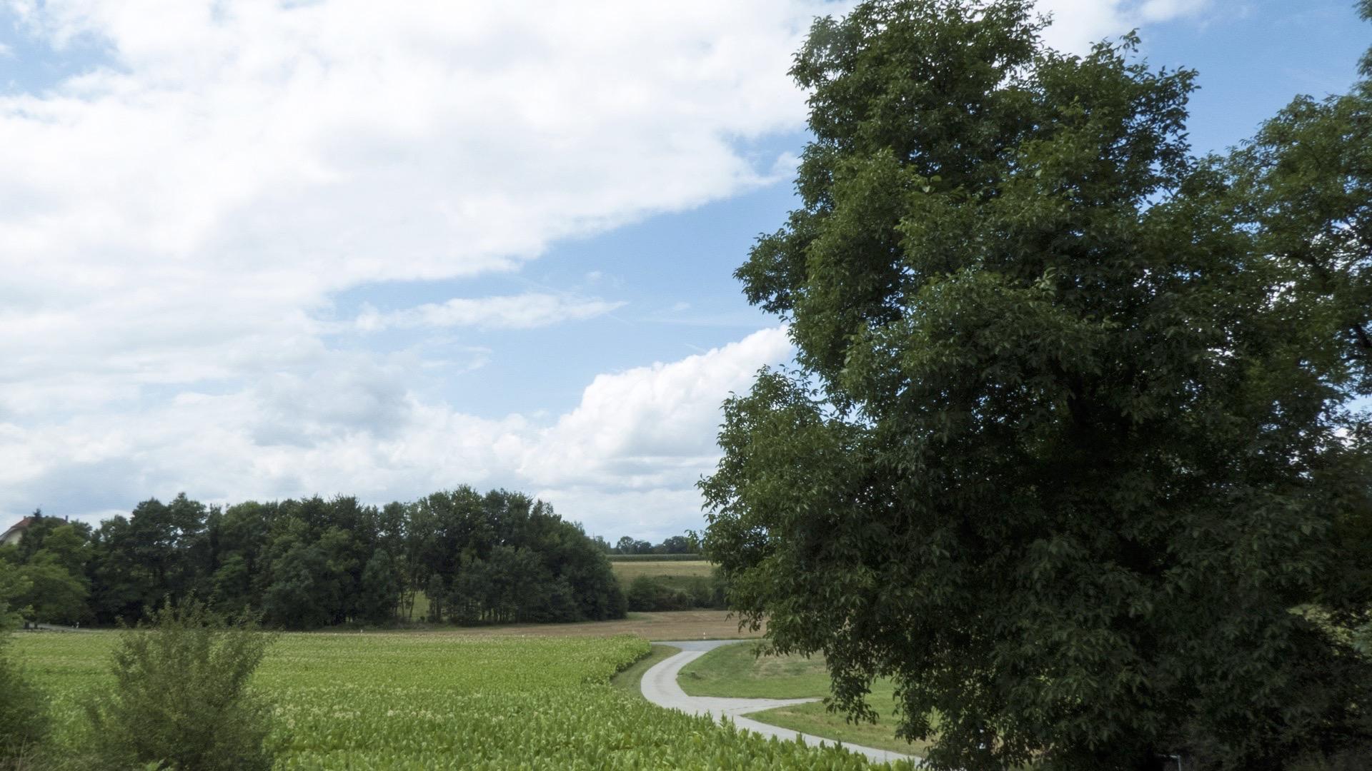
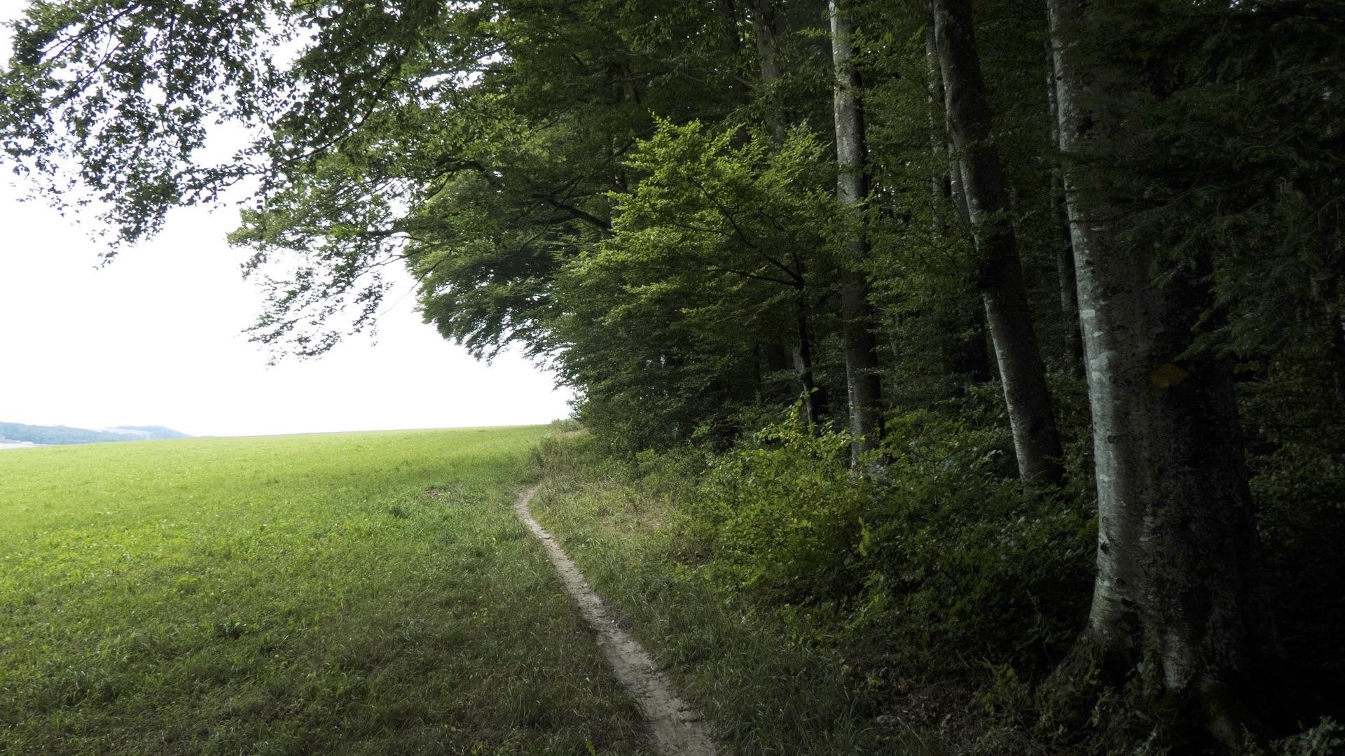
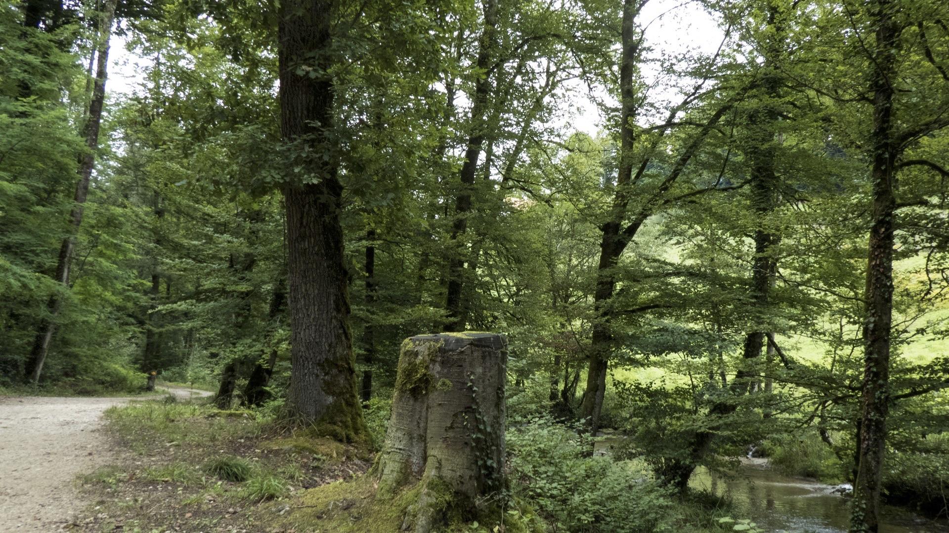
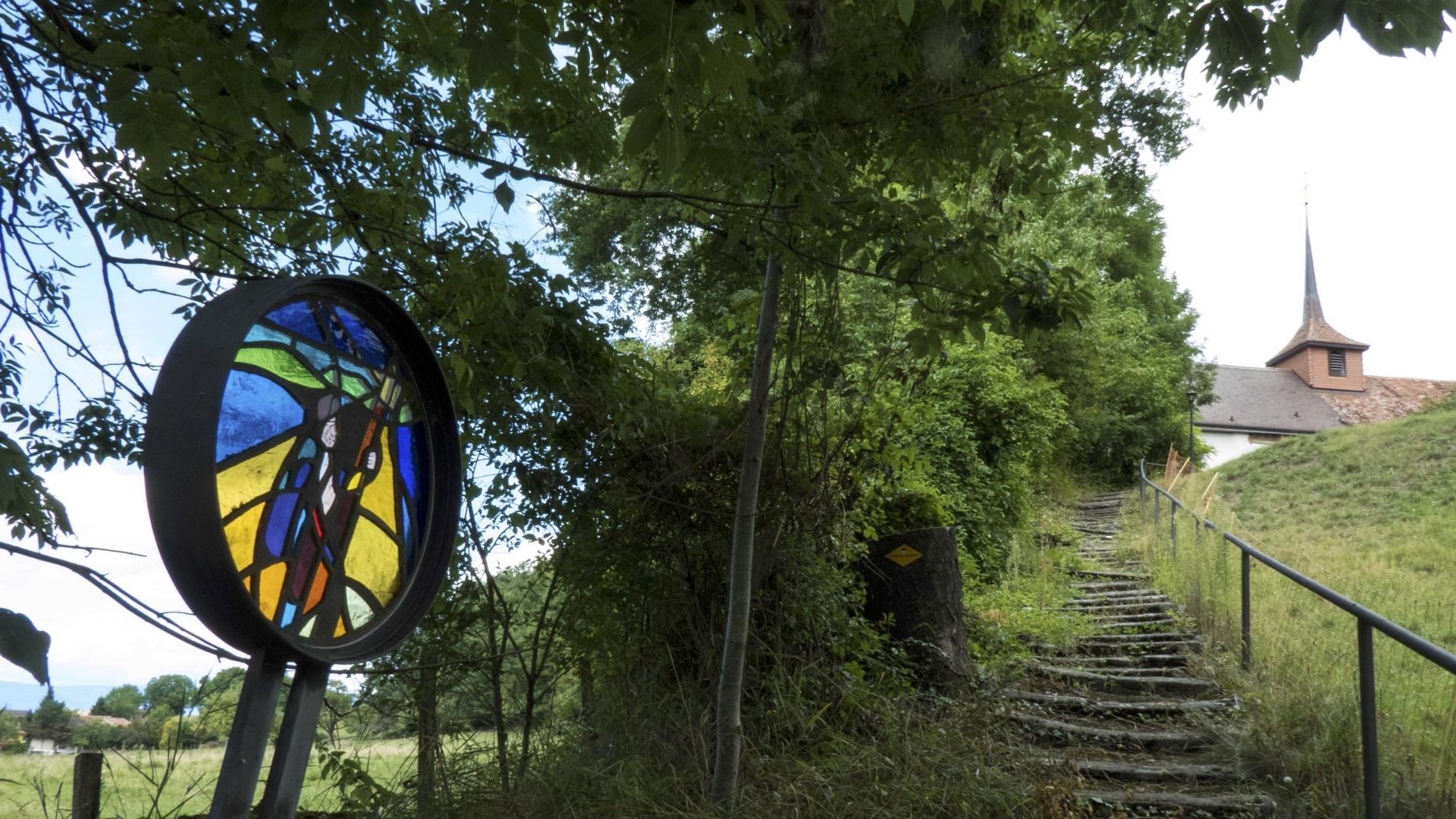
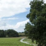
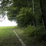
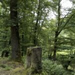
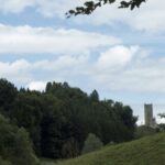
Recharge your batteries all the way along this route, which plunges you into the tranquillity of nature. From the city of the Zähringen to that of Queen Berthe, you will stride over footbridges and bridges for a superb game of leapfrog through forests with enchanting names such as Moncor, Verdilloud or Piamont.
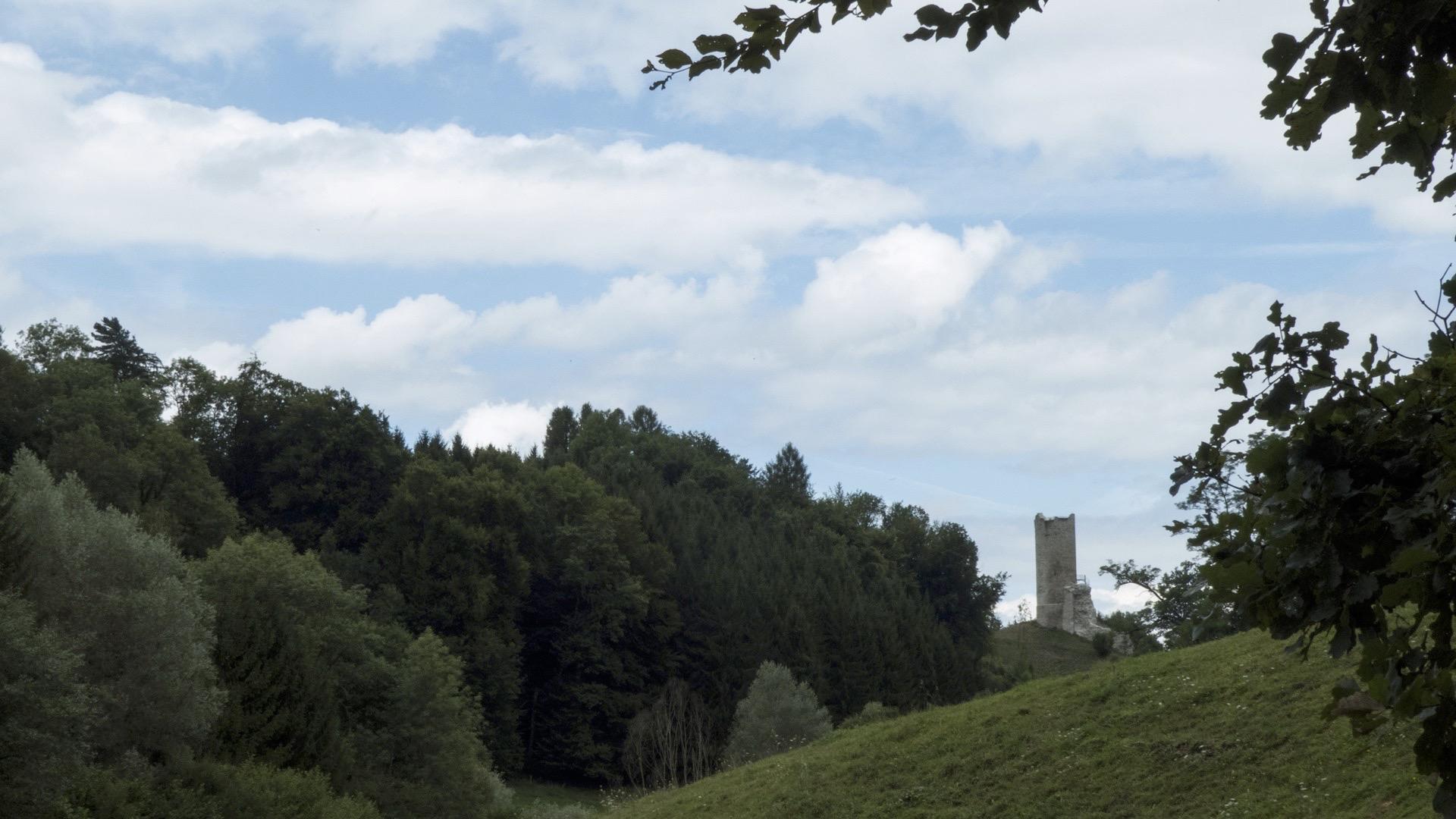
From Fribourg, the path takes you first towards the cross of St James with its turbulent history, built in 1981 at the entrance of the Belle-Croix forest. The route then takes you across the Sonnaz, just after it leaves Seedorf Lake. Shortly after the Moulins de Prez is the “Bonne Fontaine” spring, the starting point for the Roman aqueducts that ran as far as Avenches. After the bridge over the Arbogne, continue towards Montagny through the pleasant Chanea forest. As you leave Cousset, the path leads you to the enclave of Tours and its church, an ancient sanctuary rebuilt in 1780 and restored in 1946. Along the way, remember to observe the sunken lanes that bear witness to the link between Fribourg and Payerne in the Middle Ages.
Tip: don’t forget to look at the Roman aqueduct in the Arbogne valley.
Accessible by public transport: yes
Accessible by car: yes
Properties of the itinerarie
Difficulty: Very easy
Duration: 05:20
Distance: 22 km
Ascent/Descent: +208m / -472m
Altitude min./max.: 450m / 720m