Region of Fribourg

The tourist region of Fribourg offers you unforgettable experiences... Lake, city or mountains, discover a real land of values! From gastronomy through traditions and hikes up to must-sees, let yourself be inspired by the visit of our website.

Discover the region of Fribourg

Fribourg Meeting offers you the possibility to comfortably organize your future seminars or congresses. Our website gives precious hints and tricks to find the ideal place for your next event.

Découvrir la région de Fribourg Die Region Freiburg entdecken

Choose a region

La Gruyère
Fribourg
Estavayer-le-Lac/
Payerne et Région
Region
Murtensee
Schwarzsee -
Senseland
Romont Région
Les Paccots
- La Veveyse

What are you looking for?

Choose a region

Welcome to the website of Fribourg Region and its tourist regions. Please select on the map the region you wish to discover and browse through its offers. We wish you a lot of fun!

swiss map
La Gruyere
Fribourg
Estavayer-le-Lac
Région Lac
de Morat
Schwarzsee-
Senseland
Romont
Les Paccots
You are in the

Via Jacobi

Properties of the itinerarie

Difficulty: Easy

Distance: 445 km

Ascent/Descent: +1135m / -1416m

Altitude min./max.: 496m / 811m

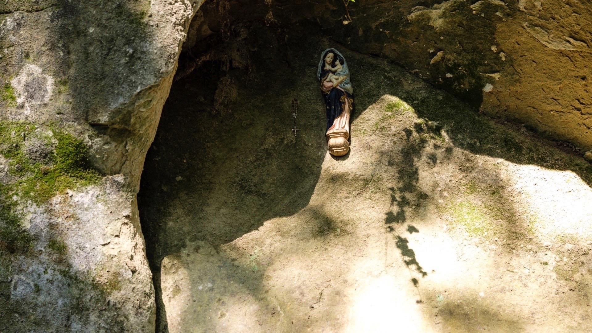
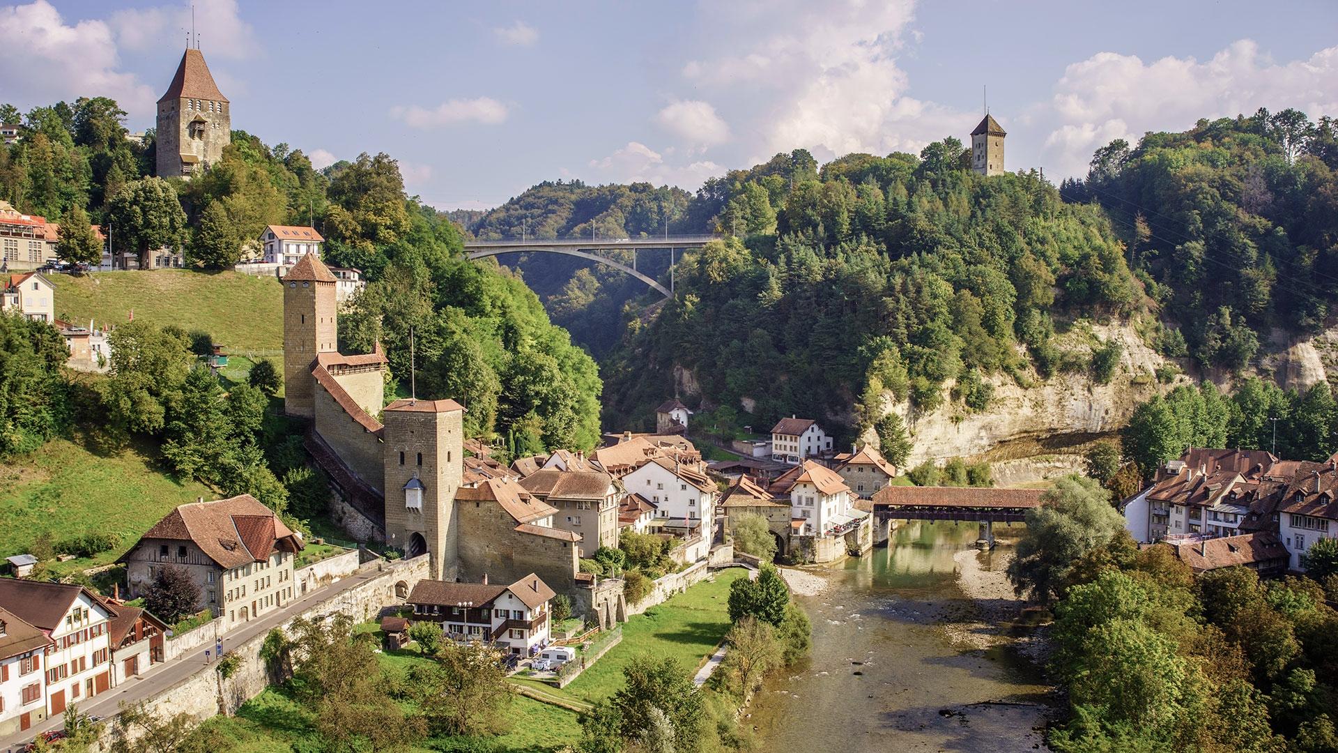
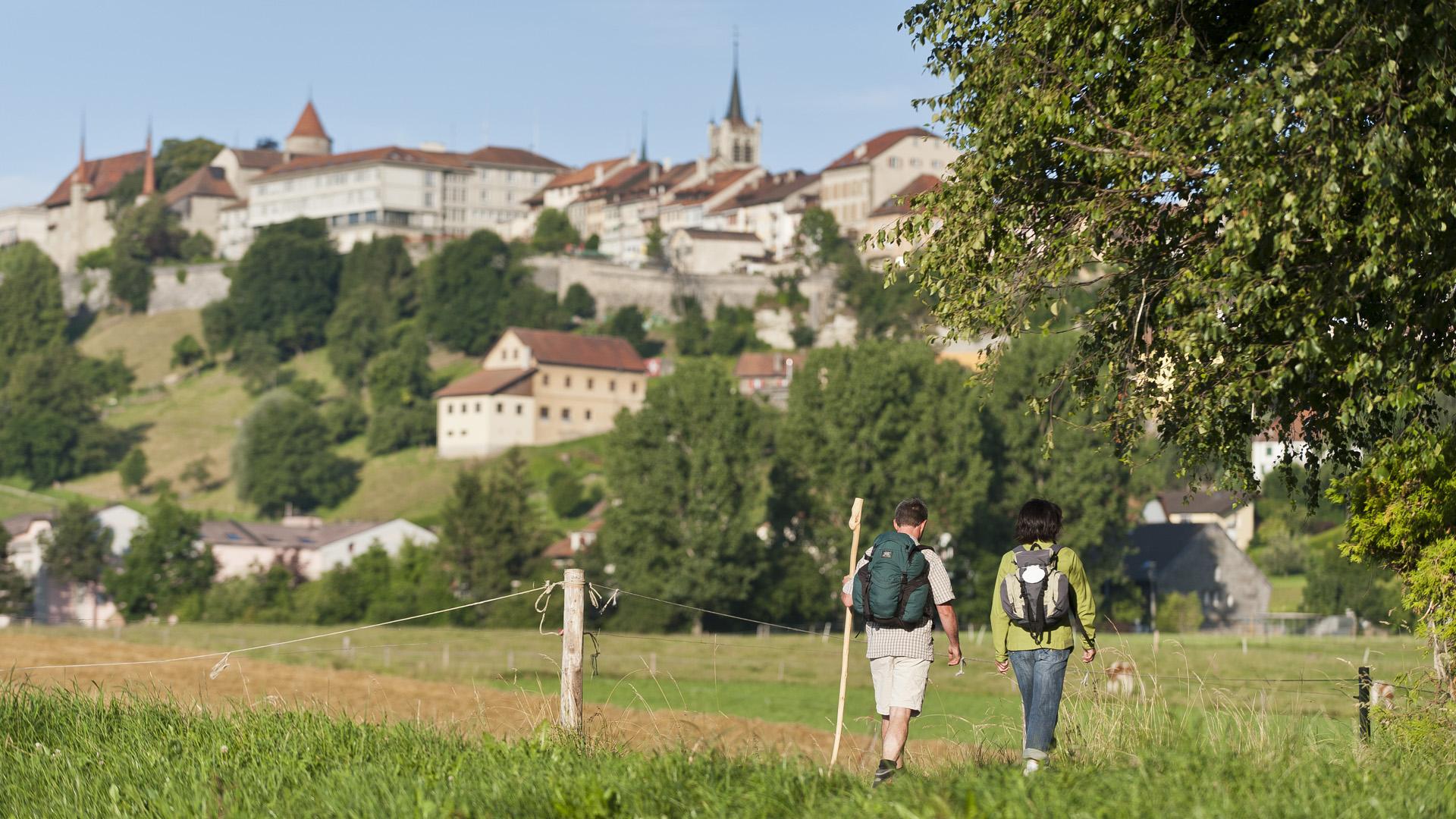
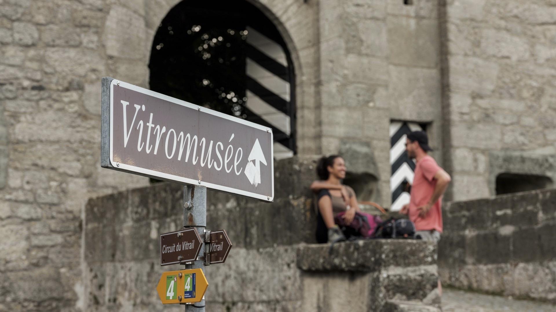
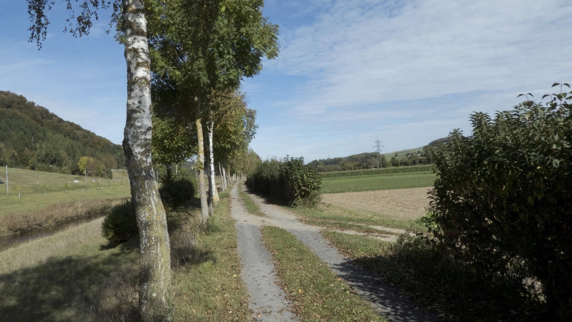
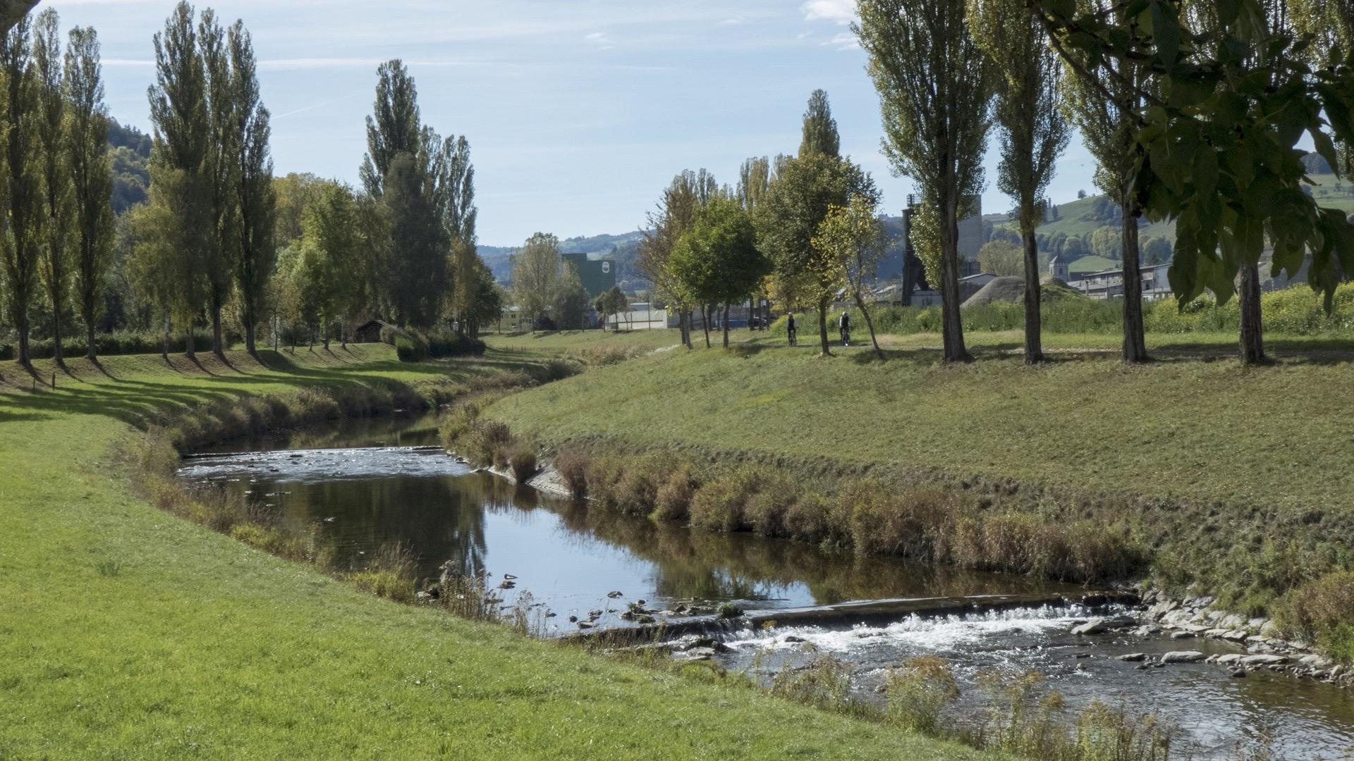
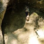
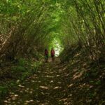
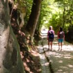
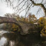
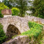
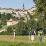
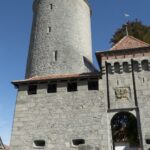
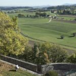
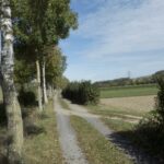
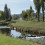
The pilgrimage to the St James tomb in Santiago de Compostela is one of the most important spiritual traditions in Europe. Bordered by churches, convents and chapels, the path offers a unique experience of walking on a historic route through a varied cultural landscape.

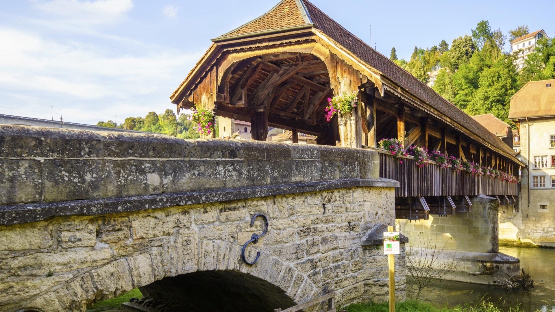
The Via Jacobi is part of the European Santiago de Compostela route along the foot of the Alps through Switzerland from Lake Constance to Geneva. While some people focus more on the spiritual aspect of the pilgrimage, others simply appreciate the walk along a historic route that leads mainly through the border regions of the Alps.

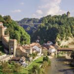
The four suggested stages in Fribourg, are as follows:
Schwarzenburg - Fribourg
Fribourg - Romont
Fribourg - Payerne
Romont - Moudon

Reservation Eurotrek

Properties of the itinerarie

Difficulty: Easy

Distance: 445 km

Ascent/Descent: +1135m / -1416m

Altitude min./max.: 496m / 811m

Download files

External links

Report an error

More information