Region of Fribourg

The tourist region of Fribourg offers you unforgettable experiences... Lake, city or mountains, discover a real land of values! From gastronomy through traditions and hikes up to must-sees, let yourself be inspired by the visit of our website.

Discover the region of Fribourg

Fribourg Meeting offers you the possibility to comfortably organize your future seminars or congresses. Our website gives precious hints and tricks to find the ideal place for your next event.

Découvrir la région de Fribourg Die Region Freiburg entdecken

Choose a region

La Gruyère
Fribourg
Estavayer-le-Lac/
Payerne et Région
Region
Murtensee
Schwarzsee -
Senseland
Romont Région
Les Paccots
- La Veveyse

What are you looking for?

Choose a region

Welcome to the website of Fribourg Region and its tourist regions. Please select on the map the region you wish to discover and browse through its offers. We wish you a lot of fun!

swiss map
La Gruyere
Fribourg
Estavayer-le-Lac
Région Lac
de Morat
Schwarzsee-
Senseland
Romont
Les Paccots
You are in the region

Bulle – Gruyères – Montbovon

Properties of the itinerarie

Difficulty: Easy

Distance: 22 km

Duration: 02:20

Ascent/Descent: +418m / -395m

Altitude min./max.: 703m / 839m

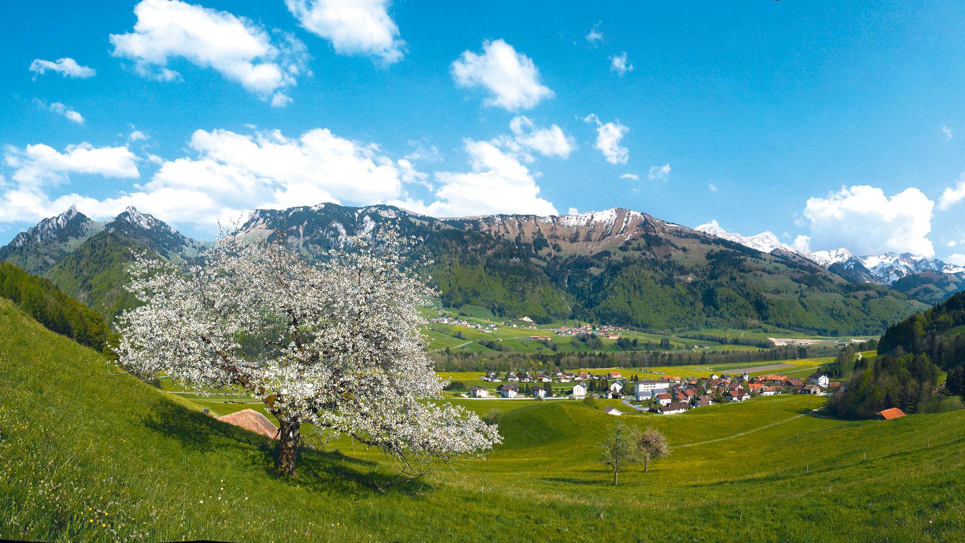
A route through postcard Switzerland from Bulle to the Intyamon valley.

Departure from the town of Bulle (La Gruyère) - Route 9 – with view over the Moléson. Going through la Tour-de-Trême and Le Pâquier, the town of Gruyères and its castle unfolds on its hill. The route goes to the Intyamon valley with its narrow roads and its poyas – traditional paintings representing the cow herd going up to the alpine pastures - in front of the houses in the villages of Estavannens, Grandvillard and Lessoc till the village of Montbovon where the itinerary ends. The whole route follows a typically Swiss scenery.

Bulle - la Tour-de-Trême - Le Pâquier - Pringy - Gruyères - Estavannens - Grandvillard - Lessoc - Montbovon: route 9.

Ascents: 373 m
Descents: 346 m

Discover all the information for your bike, mountain bike or e-bike tour in La Gruyère.

Information

La Gruyère Tourisme
Place des Alpes 26
1630 Bulle

Properties of the itinerarie

Difficulty: Easy

Distance: 22 km

Duration: 02:20

Ascent/Descent: +418m / -395m

Altitude min./max.: 703m / 839m

Download files

External links

Report an error

More information