


The Alpine Panorama Trail runs through Switzerland from Lac de Constance to Lac Léman.
In Gruyère, three sections of the national route can be discovered. In the heart of the Pre-Alps, surrounded by green fields, you will discover the highlights of our region.
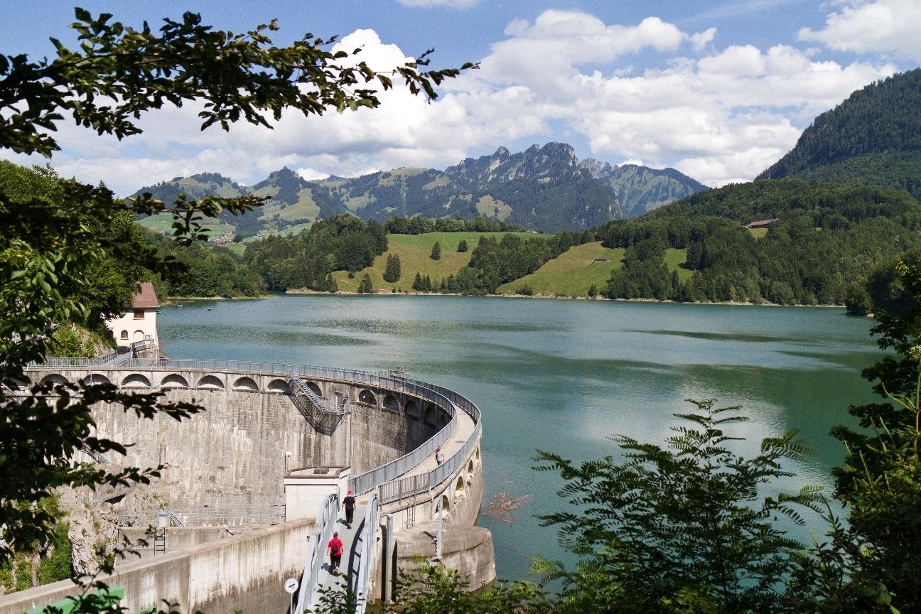
Schwarzsee - Jaun via Breccaschlund and Euschelspass
12 km - 4h10 - Technically easy - Physically medium effort
At the Euschelspass, you join La Gruyère and discover Jaun, the only German-speaking village in our region.
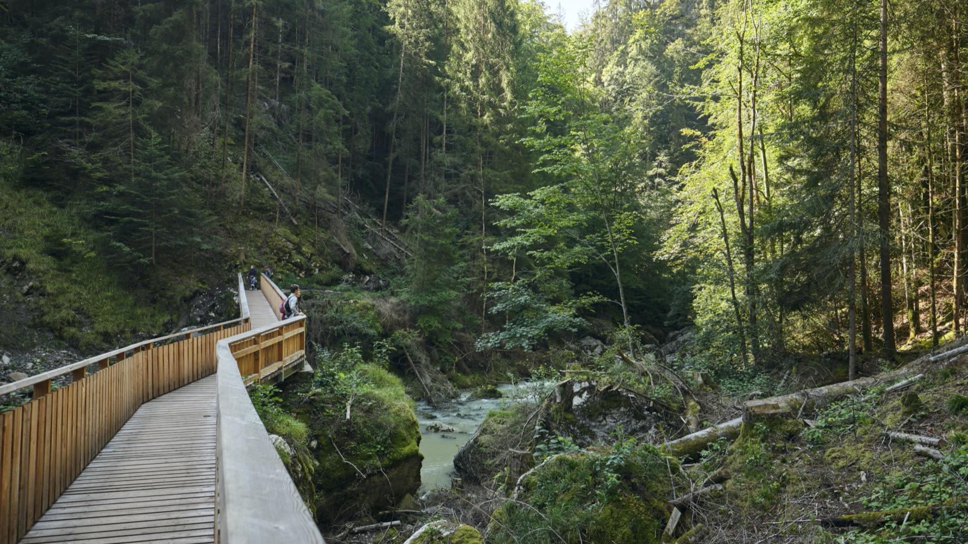
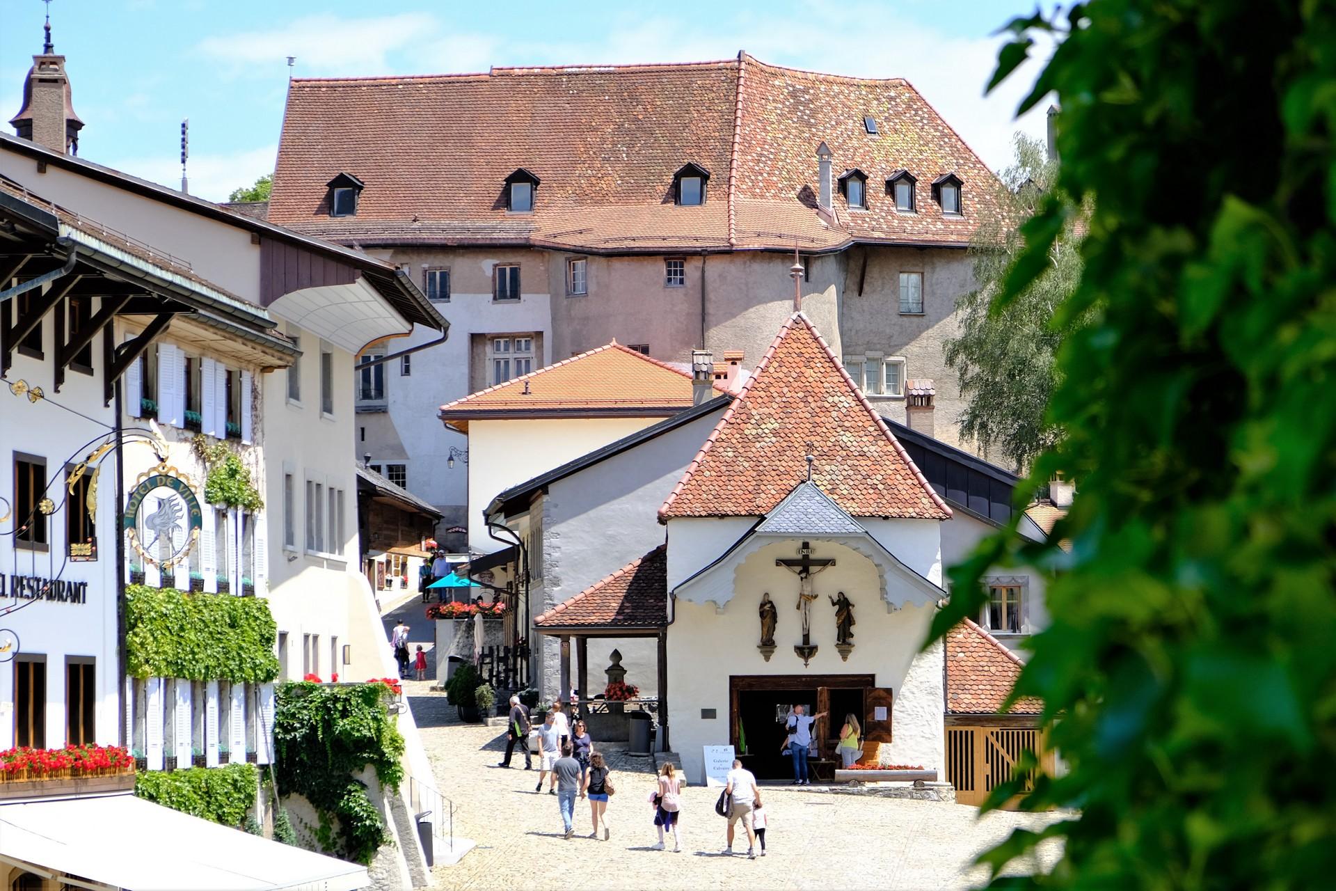
Jaun - Gruyères via Charmey and Broc
22 km - 6h - Technically easy and physically difficult effort
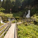
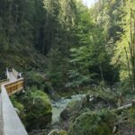
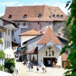
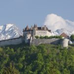
Along the water, you reach the village of Charmey and then follow the Gorges de la Jogne. The last part takes you to the medieval city of Gruyères.
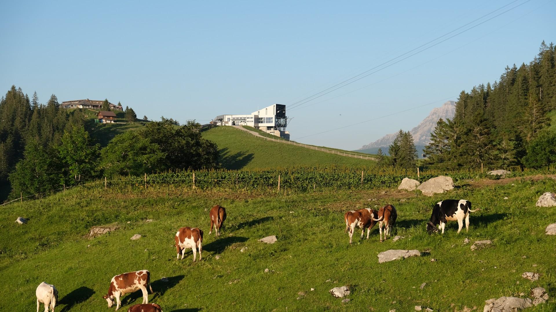
Gruyères - Les Paccots via Moléson
16 km - 5h - Technically easy - Physically difficult
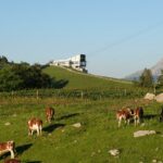
We leave the flatlands of Gruyères to follow the slopes of the Moléson to Les Paccots.
Discover all the hiking trails in La Gruyère.
Information
La Gruyère Tourisme
Centre commercial Velâdzo (rez inférieur)
Place de la Gare 3
1630 Bulle


Properties of the itinerarie
Type of activity: Sports
Difficulty: Moderately difficult
Duration: 15:00
Distance: 50 km
Ascent/Descent: +2287m / -2271m
Altitude min./max.: 692m / 1558m
Itinerary type
- Scenic hike
- Family hike
- Along the water


