Region of Fribourg

Explore the canton of Fribourg and let yourself be surprised by the diversity of its landscapes, traditions, and way of life.

Choose a region

La Gruyère
Fribourg/
Sarine
Estavayer-le-Lac
Region
Region
Murtensee
Schwarzsee -
Senseland
Romont Région
Les Paccots
- La Veveyse

What are you looking for?

Choose a region

Welcome to the website of Fribourg Region and its tourist regions. Please select on the map the region you wish to discover and browse through its offers. We wish you a lot of fun!

swiss map
La Gruyere
Fribourg
Estavayer-le-Lac
Region
Région Lac
de Morat
Schwarzsee-
Senseland
Romont
Les Paccots
You are in the region
Search
Newsletter

At the foot of Gruyères

Properties of the itinerarie

Difficulty: Easy

Duration: 02:15

Distance: 8 km

Ascent/Descent: +285m / -283m

Altitude min./max.: 696m / 870m

Itinerary type

  • Loop itinerary
  • Family hike
  • Stroller accessible

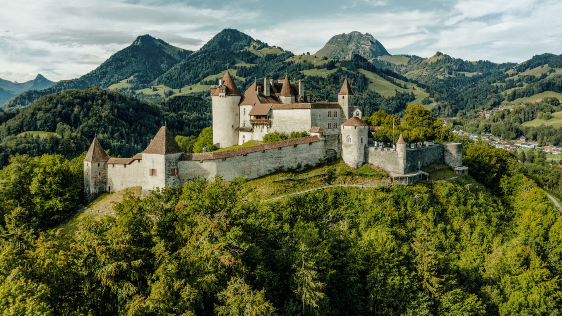
Set off on a peaceful hike at the foot of Gruyères, through bucolic landscapes and breathtaking views of the castle.

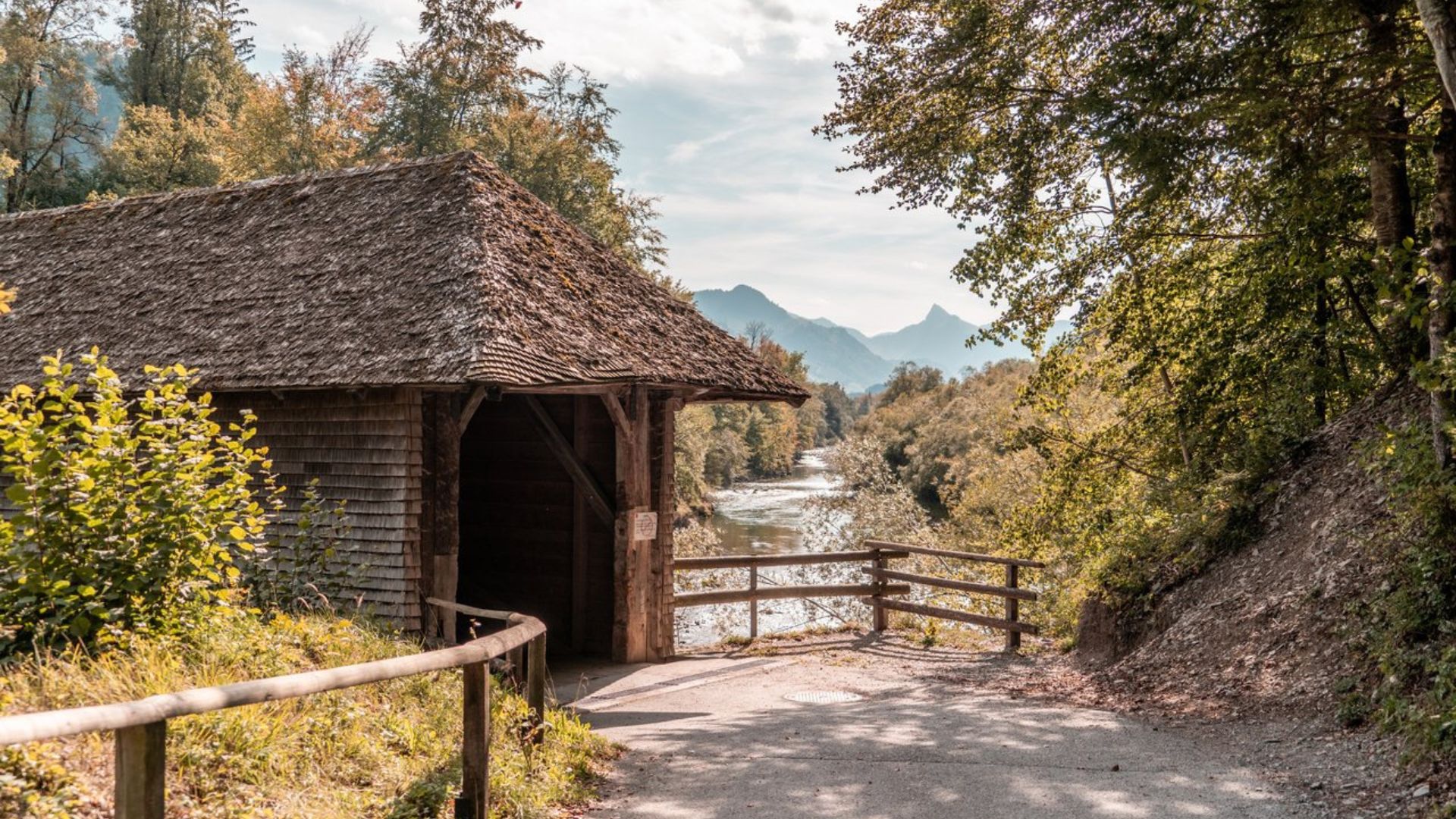
This loop starts near the medieval town of Gruyères and follows paths that run below the castle hill. The route leads through peaceful rural areas, crossing pastures and small woods, with stunning views of the Fribourg Pre-Alps.

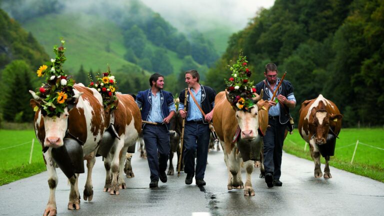
Perfect for a family outing or a relaxing walk, this hike offers the chance to discover the region’s typical landscape, with frequent panoramic views of the Moléson and its surroundings.

Information

Office du Tourisme de Gruyères
Rue du Bourg 1
Case postale 123
1663 Gruyères

Properties of the itinerarie

Difficulty: Easy

Duration: 02:15

Distance: 8 km

Ascent/Descent: +285m / -283m

Altitude min./max.: 696m / 870m

Itinerary type

  • Loop itinerary
  • Family hike
  • Stroller accessible

Download files

Report an error

More information

We use cookies to enhance your experience on our website.

OK Preferences