


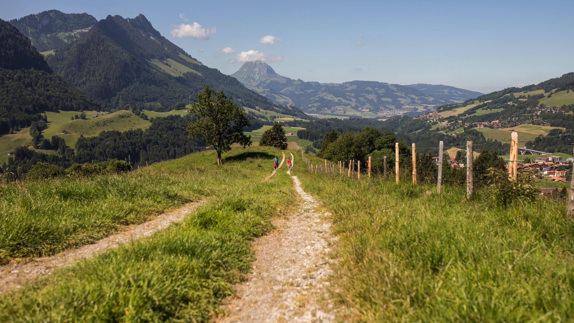
The holiday resort of Charmey is surrounded by many fantastic viewpoints, one of the most beautiful being the one at Vounetse. It takes around two hours to reach the summit and enjoy the glorious vista.
Charmey – Montminara – La Vatia d’Amont – Tissiniva – Vounetz
From the centre of Charmey, the trail initially follows the signposts in the direction of La Vatia d’Amont and Tissiniva. The hiking route then follows the ridge, with glorious views of Le Moléson constantly accompanying you along the way. You cross a ridge to reach the fork in the path that leads to Tissiniva. Finally, a narrow ridge leads up to the upper station of Vounetz.
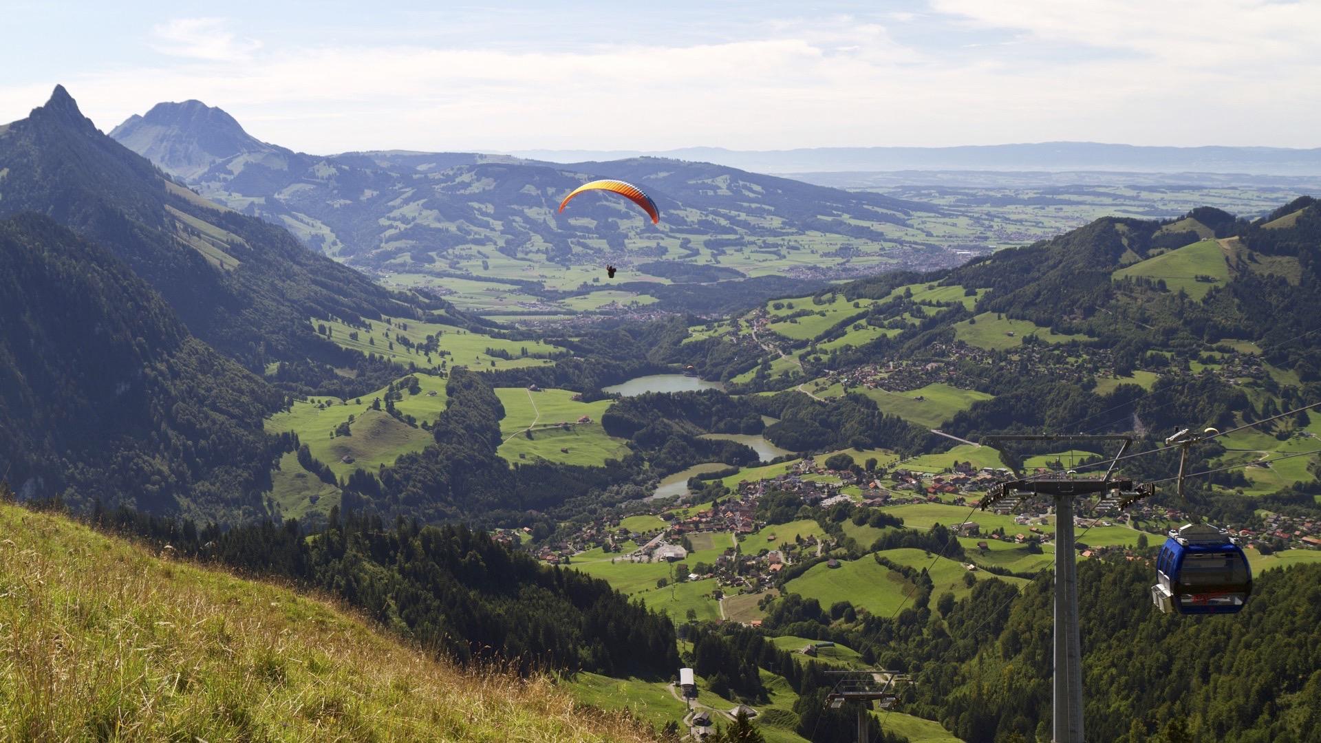
While taking in the glorious views from Vounetz, you can often spot paragliders in the skies. See the mighty peaks of the Vaud and Fribourg Alps rowing up in the foreground. Behind them the view extends all the way to the Dents Vertes. Lac de Montsalvens Reservoir glistens in the sunshine far below in the valley. The terrace of the Les Dents Vertes restaurant offers a magnificent panoramic view down to the valley. A playground is available for children near the restaurant. From May to the end of the summer, you can visit the Vounetz mountain hut and follow the production of the two cheeses Gruyère d'alpage AOP and Vacherin d'alpage AOP (advance booking required at the tourist office).
The return journey to Charmey is a leisurely one by cable car or you can take the path towards Gros Ganet and La Cheta (about 1h40 by foot).
Accessible by public transport: yes
Accessible by car: yes
Discover all the hiking trails in La Gruyère.


Properties of the itinerarie
Difficulty: Moderately difficult
Duration: 02:15
Distance: 4 km
Ascent/Descent: +744m / -16m
Altitude min./max.: 884m / 1612m
Itinerary type
- Scenic hike


