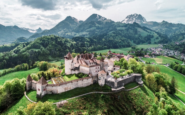
Hike up the beautiful ridge of Vanil-Blanc.
From the gondola car park, take the bypass road that climbs to the left of the car park. Do not take the road on the right, but continue straight ahead following the yellow signs.
The route takes you first through pastures, then into the forest along the Vanil Blanc ridge. The section between the summit of Vounetz and Tissineva offers a breathtaking view of the Jogne valley on one side and the Gros Brun and Patraflon on the other.
If you wish to do this route from the summit, descend below the restaurant terrace towards Tissineva. Once at the inn, go down to your left.
Tip: At the summit, the Restaurant les Dents-Vertes welcomes you for refreshments.
Accessible by public transport: yes | Nearest bus or train stop: Charmey, Télécabine
Accessible by car: yes
Discover all the hiking trails in La Gruyère.
Information
La Gruyère Tourisme
Centre commercial Velâdzo (rez inférieur)
Place de la Gare 3
1630 Bulle
Properties of the itinerarie
Difficulty: Moderately difficult
Duration: 03:50
Distance: 4 km
Ascent/Descent: +745m / -6m
Altitude min./max.: 873m / 1613m


