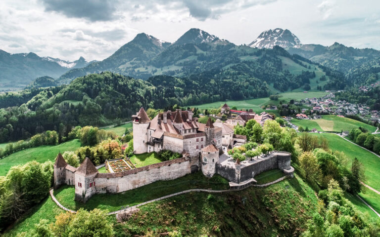
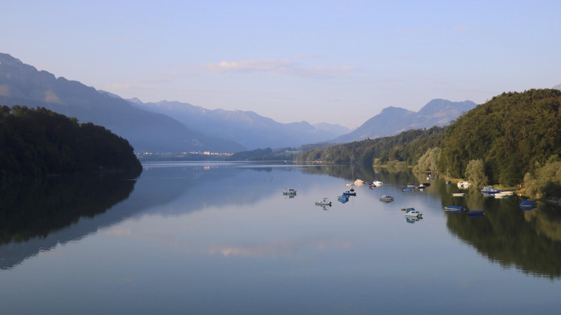
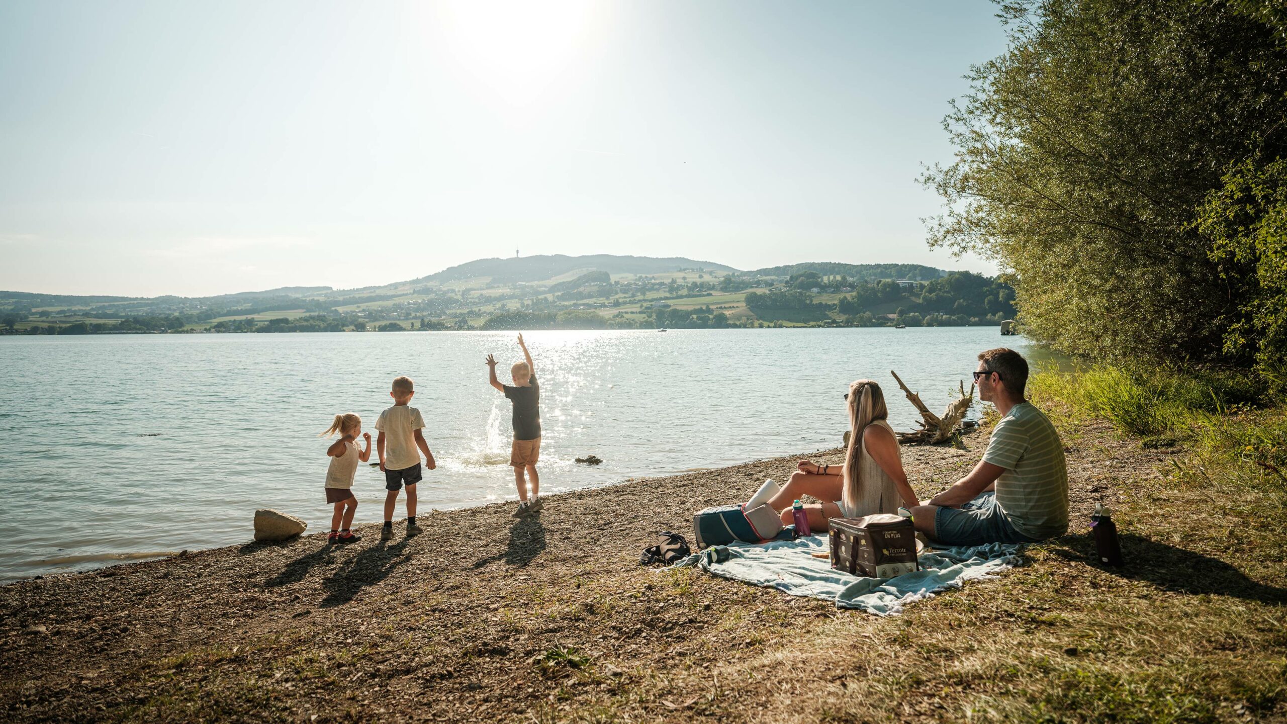
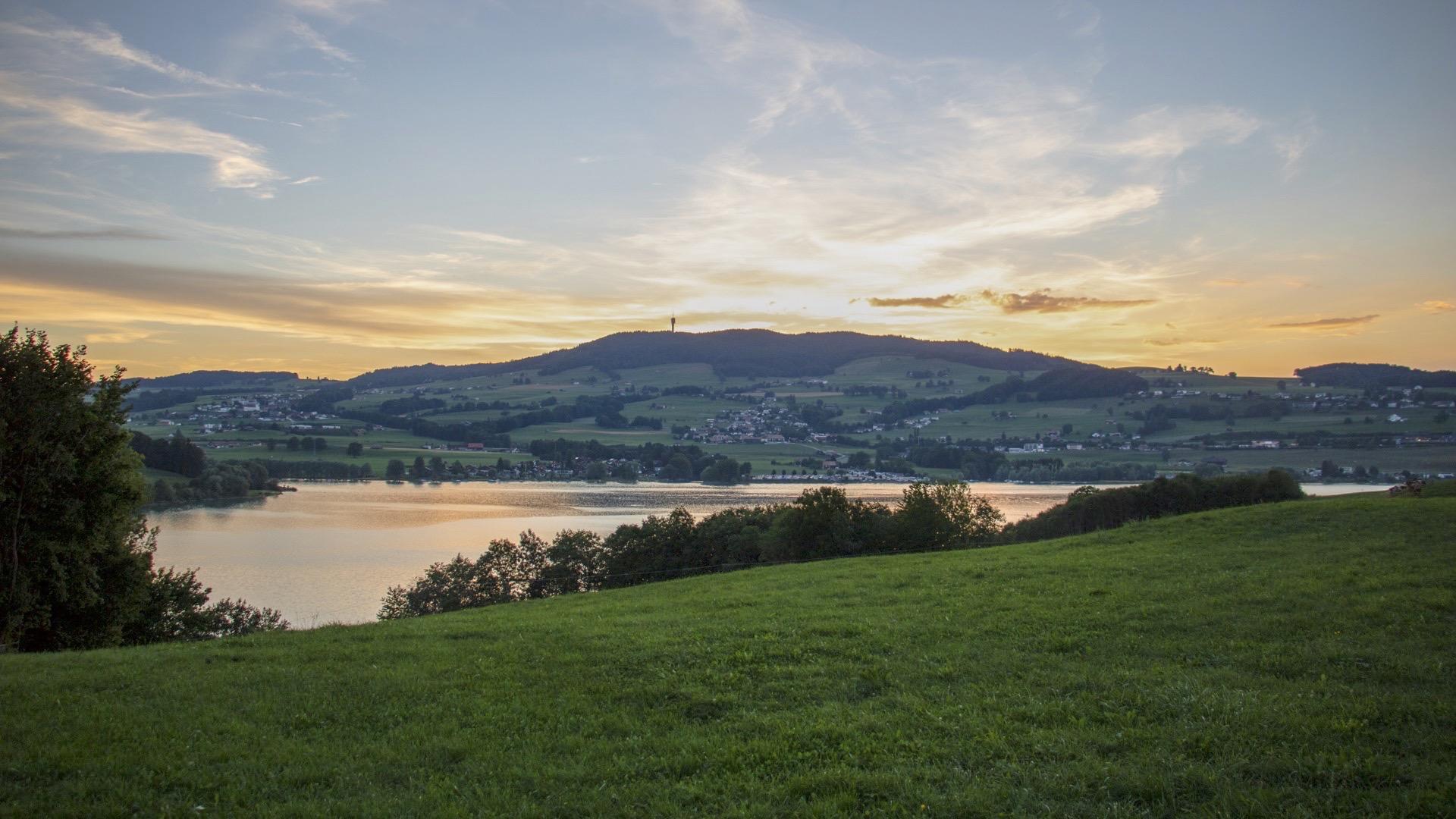
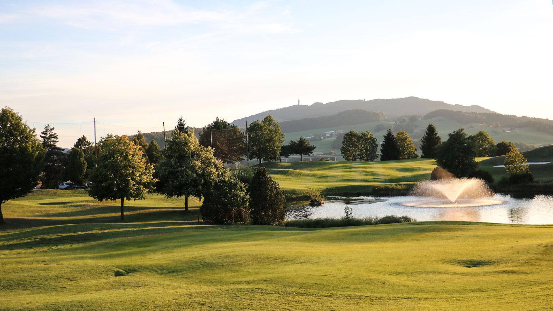
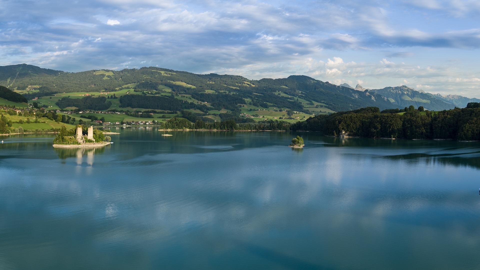
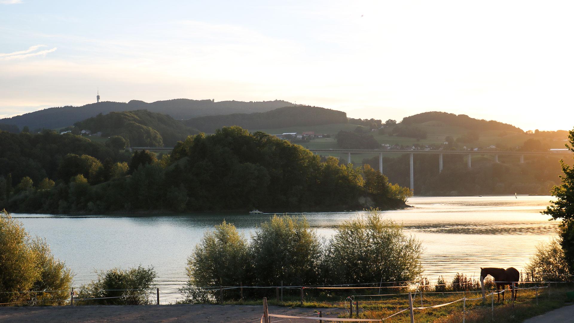
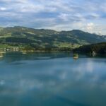
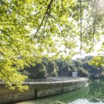
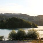
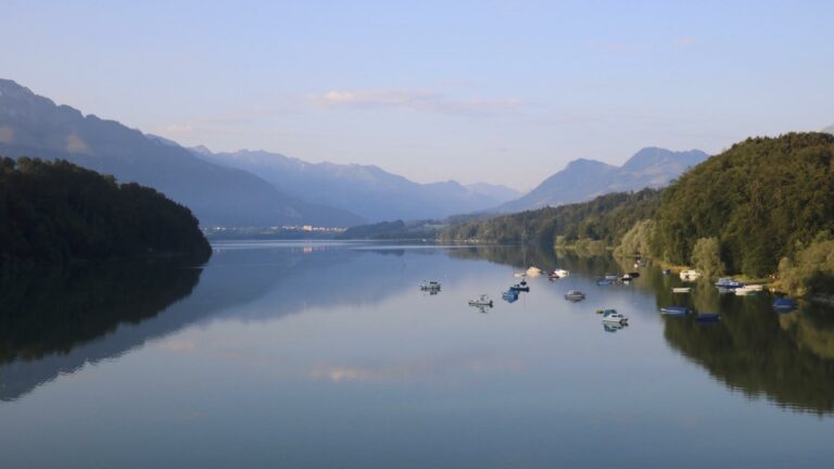
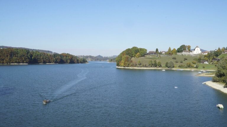
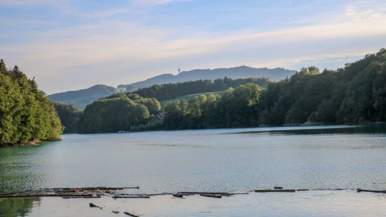
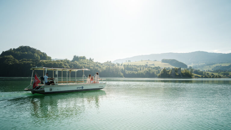
A walk by the water in the heart of La Gruyère, offering a unique view over the Pre-Alps or the turquoise waters of a creek as the openings in the trees allow! A wealth of flora, fauna and the heritage of La Gruyère to discover over a route of around 44 km, which can be tackled in several stages. The walk is straightforward and easily accessible by public transport.
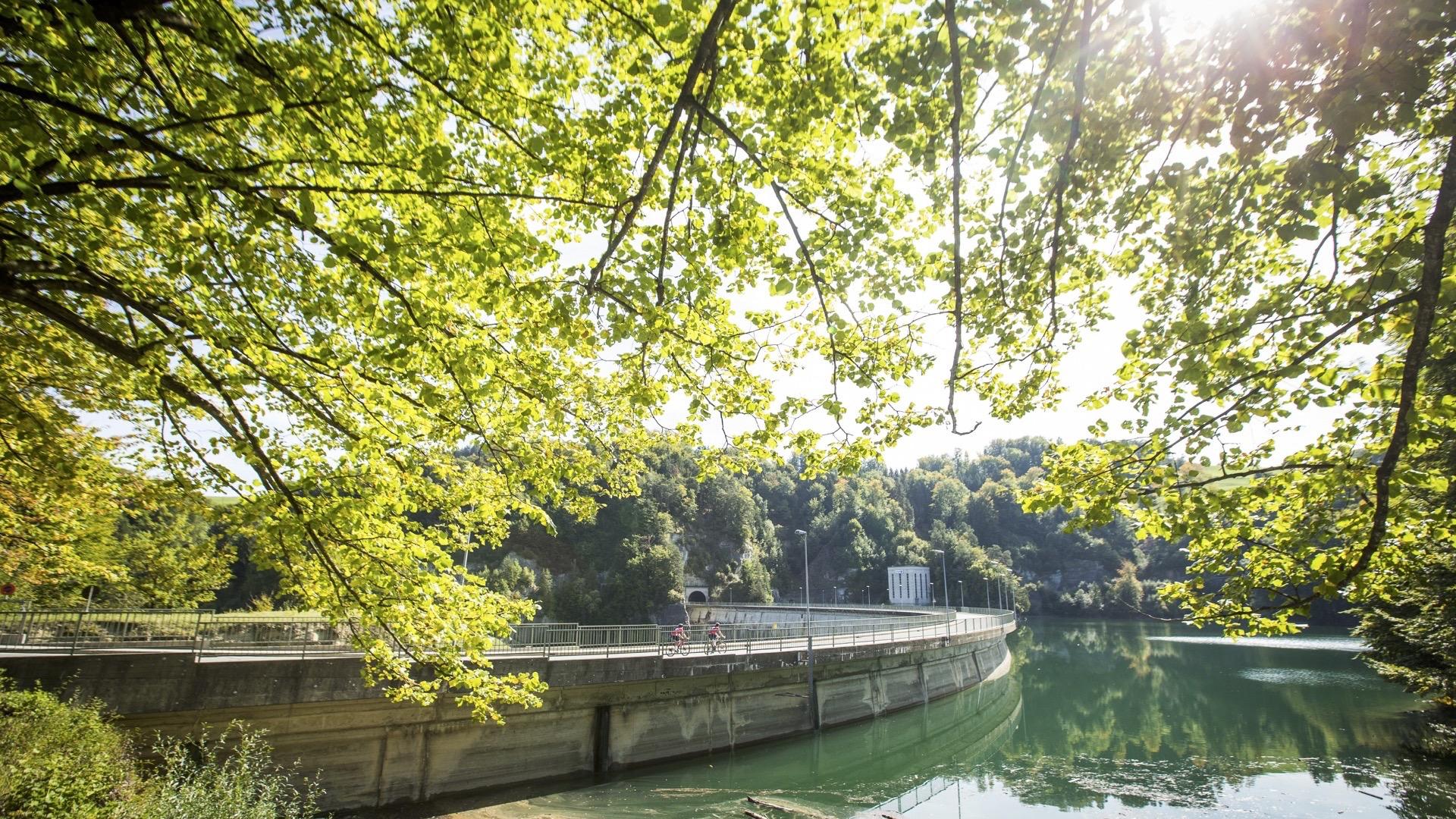
The Lake Gruyère walk follows the shores of the lake close to the banks, sometimes diverting away from it slightly for safety or environmental reasons. The construction of the Rossens dam in 1948 produced the biggest artificial lake of the plain in Switzerland!
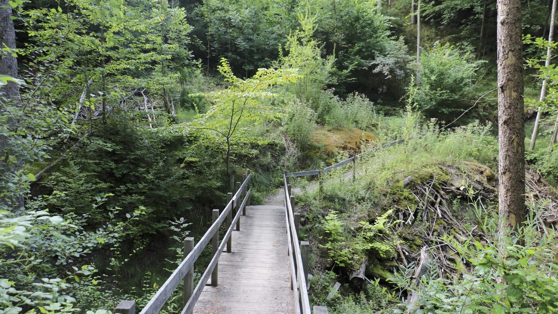
At times, the footpath winds beneath the shade of broad-leafed and thorny trees and at others, passes through villages with well-preserved regional heritage; you may find the unmissable poya – a series of paintings depicting the cows heading to their summer pastures – on the facade of a farm. Footbridges and bridges help you across any obstacles along the route.
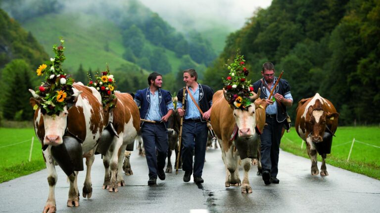
Here you will find a panoramic view of the Pre-Alps while over there, the sound of the bells will remind you – as if it were needed – that you are in La Gruyère, home to the king of hard cheeses and double cream. Beautiful dairy cows of all colours graze contentedly above the shimmering water.
The topography of the banks, characteristic of an artificial lake, will require a little effort but there are no particular technical difficulties along the way. The enchanting atmosphere of Lake Gruyère makes it well worth the effort.
Dogs must be kept on a lead at all times and all users are asked to respect pedestrians.
Discover all the hiking trails in La Gruyère.
Information
La Gruyère Tourisme
Centre commercial Velâdzo (rez inférieur)
Place de la Gare 3
1630 Bulle
The trail between Le Bry and Rossens is closed for safety reasons during the winter. This applies to the section beneath the viaduct as the snow removal makes it dangerous. Signs are indicating the closing.
Properties of the itinerarie
Difficulty: Very easy
Distance: 43 km
Ascent/Descent: +1280m / -1280m
Altitude min./max.: 673m / 778m


