


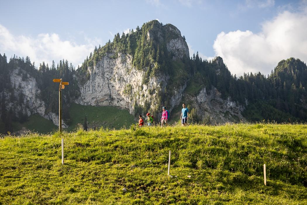
Dive into the heart of a protected forest.
From the gondola car park, go back along the main road towards the village until you reach the Hotel Restaurant de l’Etoile, then turn right. Follow the road until you reach a small path that climbs up on your right.
The itinerary takes you first to the upper part of the village of Charmey and then to a section of the Agriculture trail Charmey-La Valsainte. After 4.5 km of walking, a path on your left offers you the possibility to make a diversion towards La Valsainte to admire the monastery of the Carthusian monks. On the main road shortly after the Valsainte path, the Reposoirs route branches off to the right into the forest to reach Tissineva and then the summit of Vounetz, where an incredible view awaits you!
If you wish to do this route from the summit, descend below the terrace of the restaurant Les Dents-Vertes. Go around the Auberge de Tissineva to the left, then turn right before starting to descend the ridge.
Tip: At the summit, the Restaurant les Dents-Vertes welcomes you for refreshments.
Accessible by public transport: yes | Nearest bus or train stop: Charmey, Télécabine
Accessible by car: yes
Discover all the hiking trails in La Gruyère.
Information
La Gruyère Tourisme
Centre commercial Velâdzo (rez inférieur)
Place de la Gare 3
1630 Bulle
Properties of the itinerarie
Difficulty: Moderately difficult
Duration: 03:05
Distance: 10 km
Ascent/Descent: +818m / -79m
Altitude min./max.: 873m / 1612m
Itinerary type
- Scenic hike


