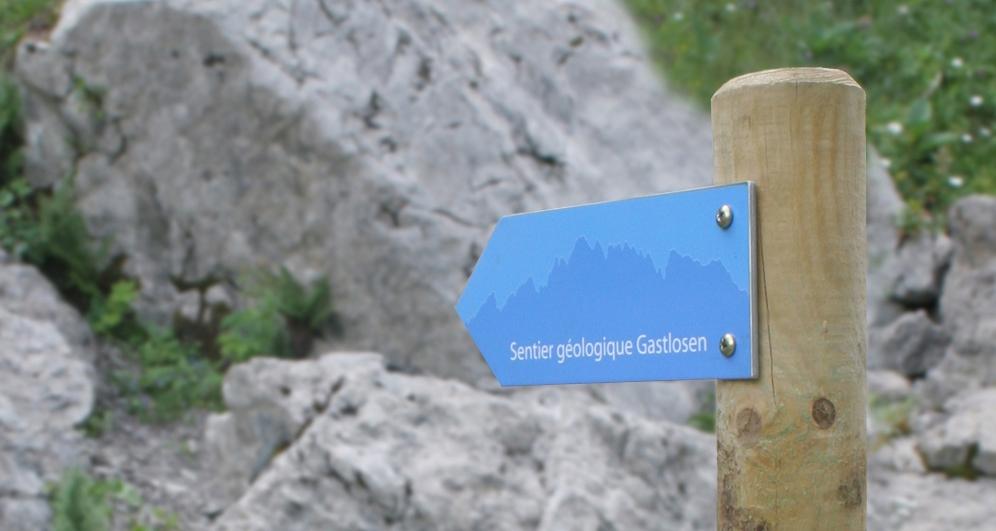
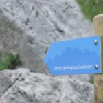
Discover this educational trail at the foot of the Gastlosen mountain range. With the help of 12 observation posts, you will discover the geological treasures of this site of national importance.
The Gastlosen Geological Trail aims to introduce hikers to an unknown aspect of the environment in which they live: the rocks, their history and the landscapes they define.
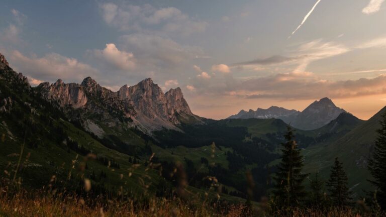
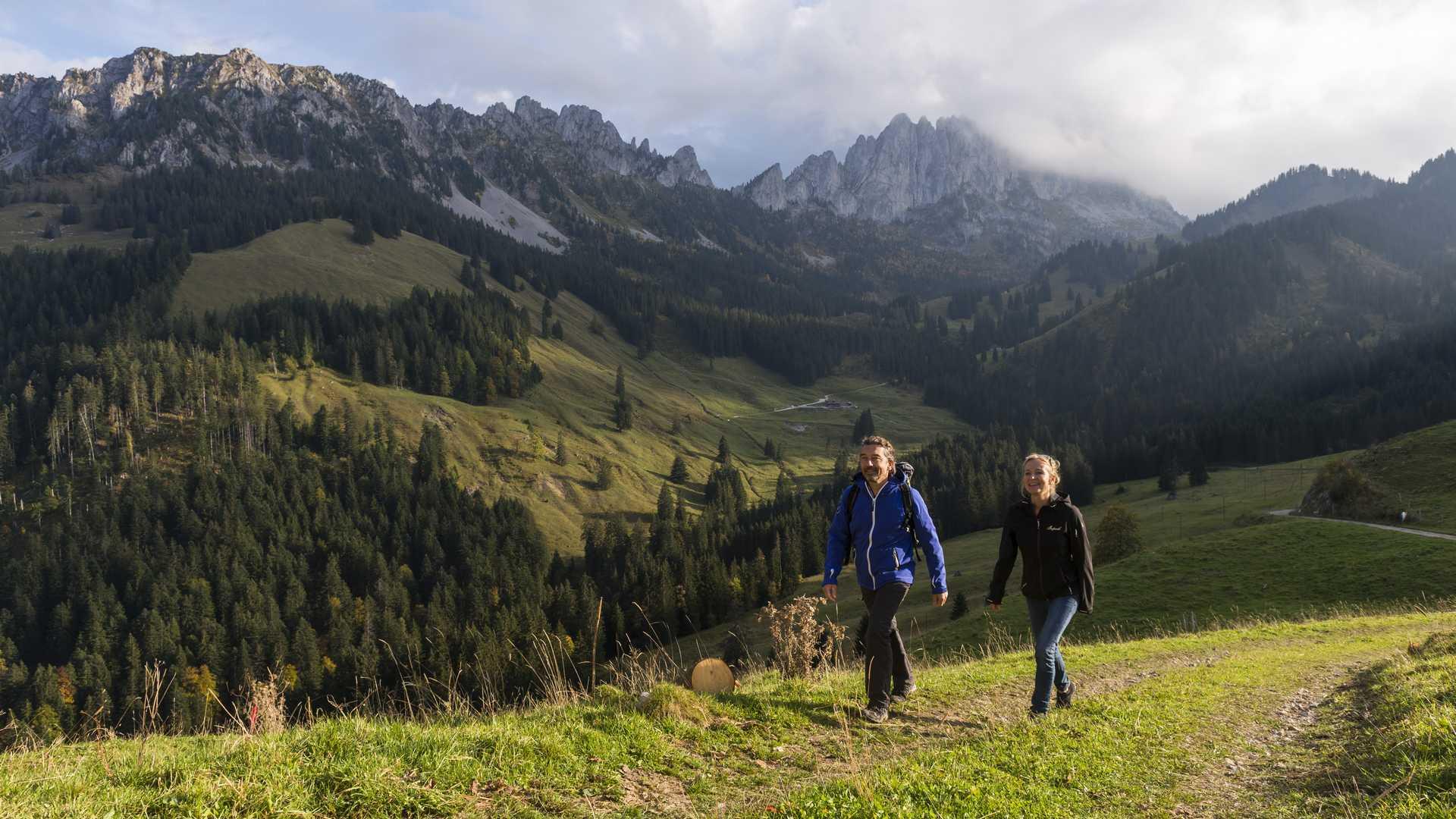
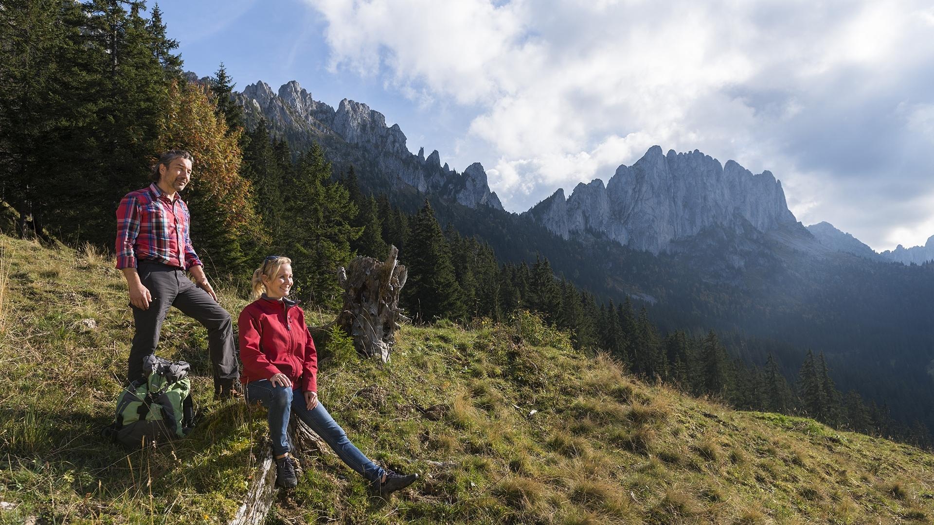
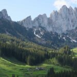
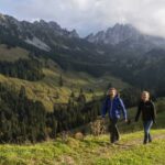
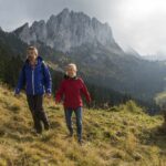
This educational trail runs through the northwest region of the Gastlosen Mountains. This part of the Pre-Alps is of great geological interest and is part of the inventory of geotopes of national importance.
However, this treasure remains generally unknown to the general public and this is the whole point of this itinerary; to make everyone discover the secrets and geological treasures of this region.
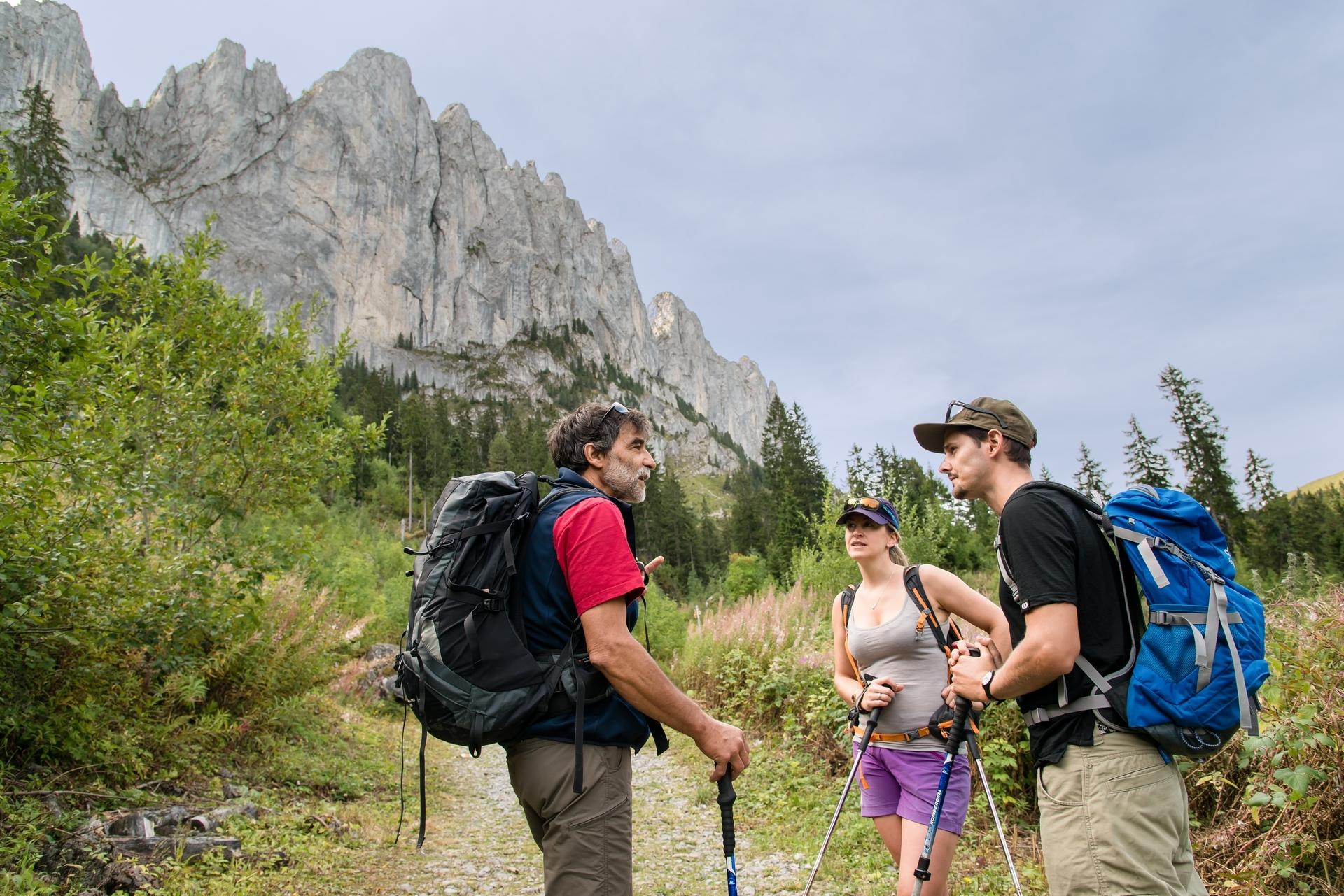
Throughout the route, 12 observation posts will provide you with information on mountain formation, the rocks that make up the mountains, etc. Don't forget to bring the explanatory flyer or the detailed brochure with you!
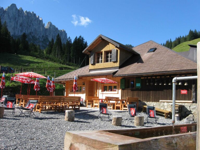
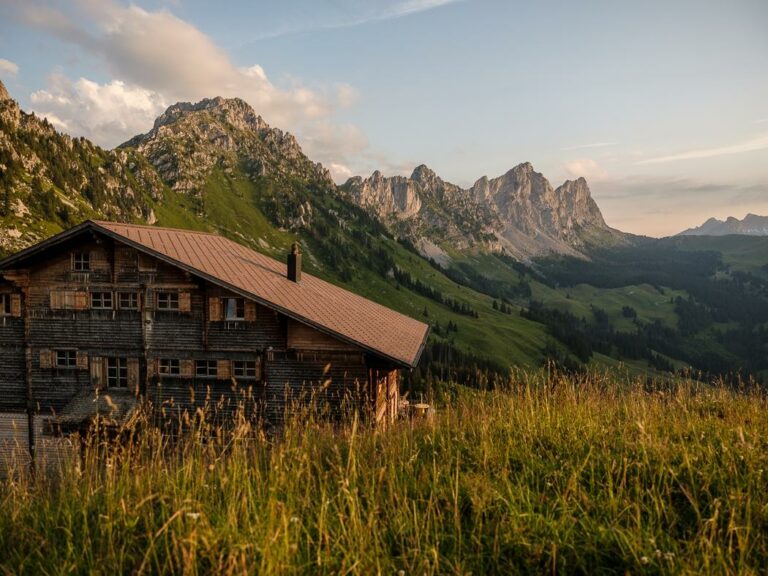
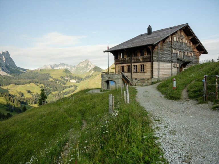
Tip: Enjoy an invigorating break at the Chalet du Soldat or the Buvette des Sattels.
Accessible by public transport: yes | Nearest stop (3.6 km from the start)
Accessible by car: yes (parking towards Chalet Gross Rüggli at 1347m)
Discover all the hiking trails in La Gruyère.
Information
Office du Tourisme de Jaun
Hauptstrasse 381
1656 Jaun


Properties of the itinerarie
Type of activity: Sports
Difficulty: Moderately difficult
Duration: 03:00
Distance: 8 km
Ascent/Descent: +608m / -611m
Altitude min./max.: 1334m / 1804m
Itinerary type
- Loop itinerary
- Scenic hike
- Family hike
- Educational hike
- Through the centuries