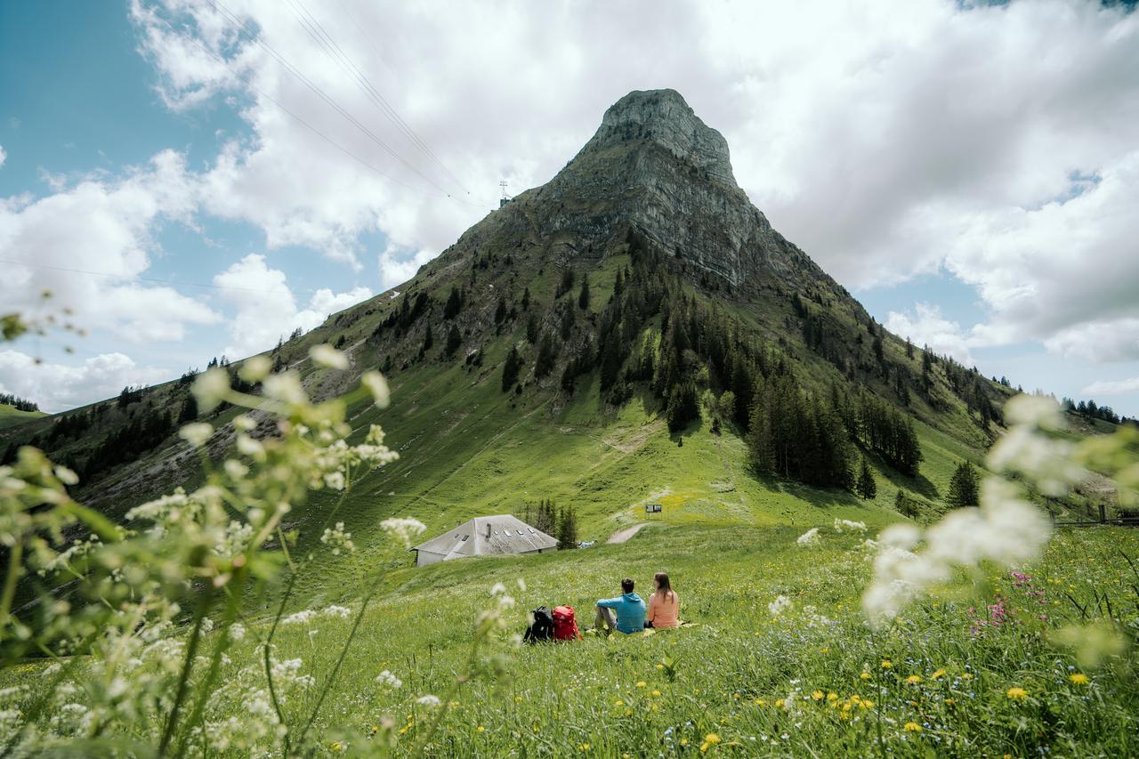
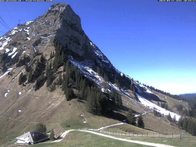
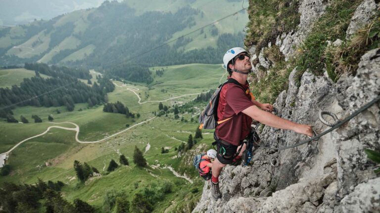
A different way of climbing the summit of the Moléson, this walk passes through the mountain pastures typical of Fribourg’s cultural landscape. It offers a fine opportunity for walkers to admire the centuries-old work of the armaillis.
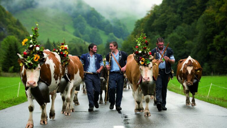
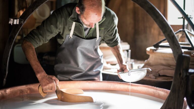
Take the funicular to Plan-Francey and then head off to the Alpine restaurant Le Gros Plané. This chalet perpetuates the tradition of artisanal cheese making with its master cheese maker, known as an armailli. From the 15th to the start of the 19th century, Alpine farms could employ up to a dozen people, from the master cheese maker to the shepherd, the bouèbe (chalet boy), the milker, the cutter and the barlatè (who was responsible for taking the cheese down to the village and bringing supplies and news back to the chalet). The occupation became less important with the appearance of dairies in the villages in the 1830s. Today, the armaillis and their products are back in vogue.
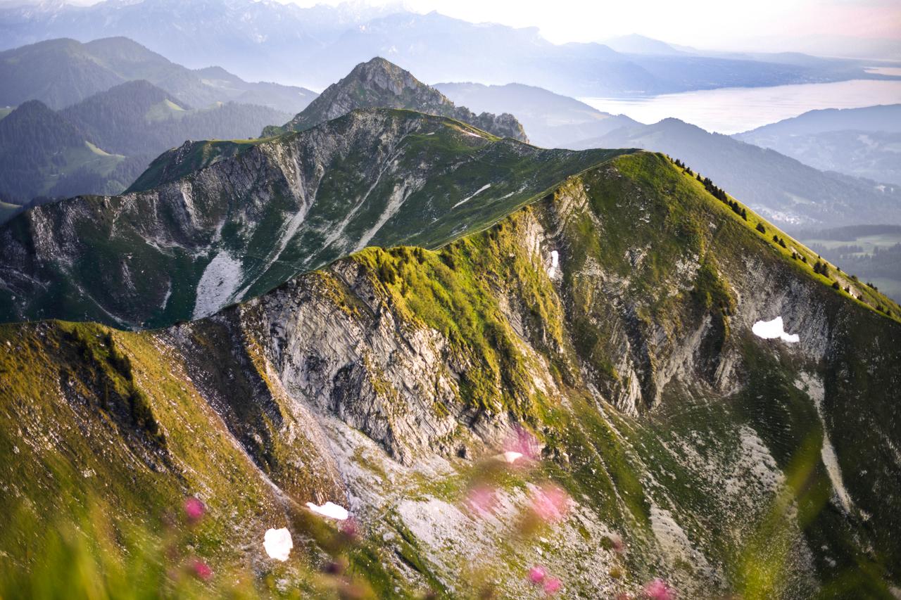
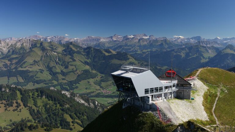
Continue straight on to the Villard pasture. At the crossroads, turn left onto the tarmacked road to the chalet de Tremetta. Its name comes from the River Trême, which rises nearby. At the mountain pass, take the Crête du Moléson, which climbs slowly until you reach the highest point of the walk. The restaurant’s observatory offers a stunning view over all the Alpine massifs, the Lake Geneva area and La Gruyère region. Enjoy the view before heading down to Plan Francey via the cable car with some beautiful pictures in your head.
Tip: if you prefer, you can head back down to Plan-Francey on foot via Le Petit Plané (allow 1 hour and 10 minutes), or Tsuatsau-Dessus (1 hour and 30 minutes).
Accessible by public transport: yes | Nearest bus or train stop: Moléson-sur-Gruyères (funi)
Accessible by car: yes (funicular parking in Moléson)
Information
Office du Tourisme de Moléson
Route du Moléson 228
1663 Moléson-sur-Gruyères
Properties of the itinerarie
Difficulty: Moderately difficult
Duration: 03:00
Distance: 8 km
Ascent/Descent: +714m / -231m
Altitude min./max.: 1398m / 2001m


