On this final stage of the Trekking Cabin, cross the Vanil Noir nature reserve to reach the village of Grandvillard.
DAY 3
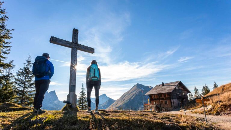
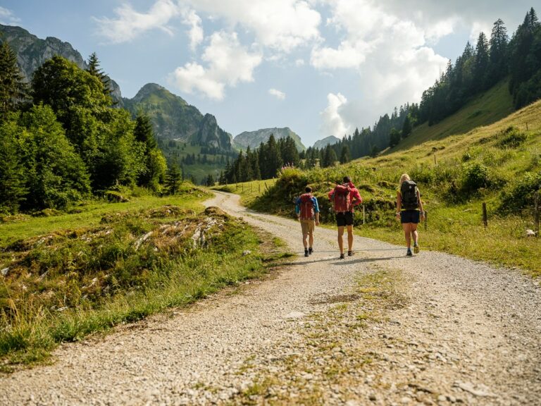
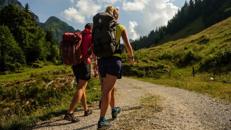
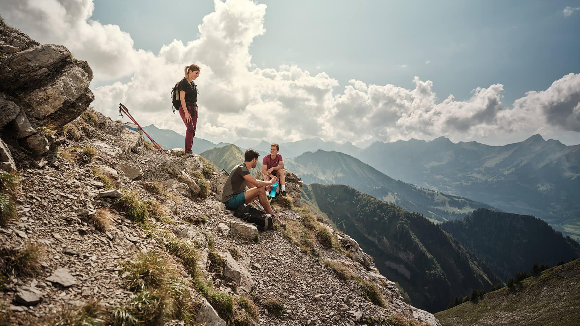
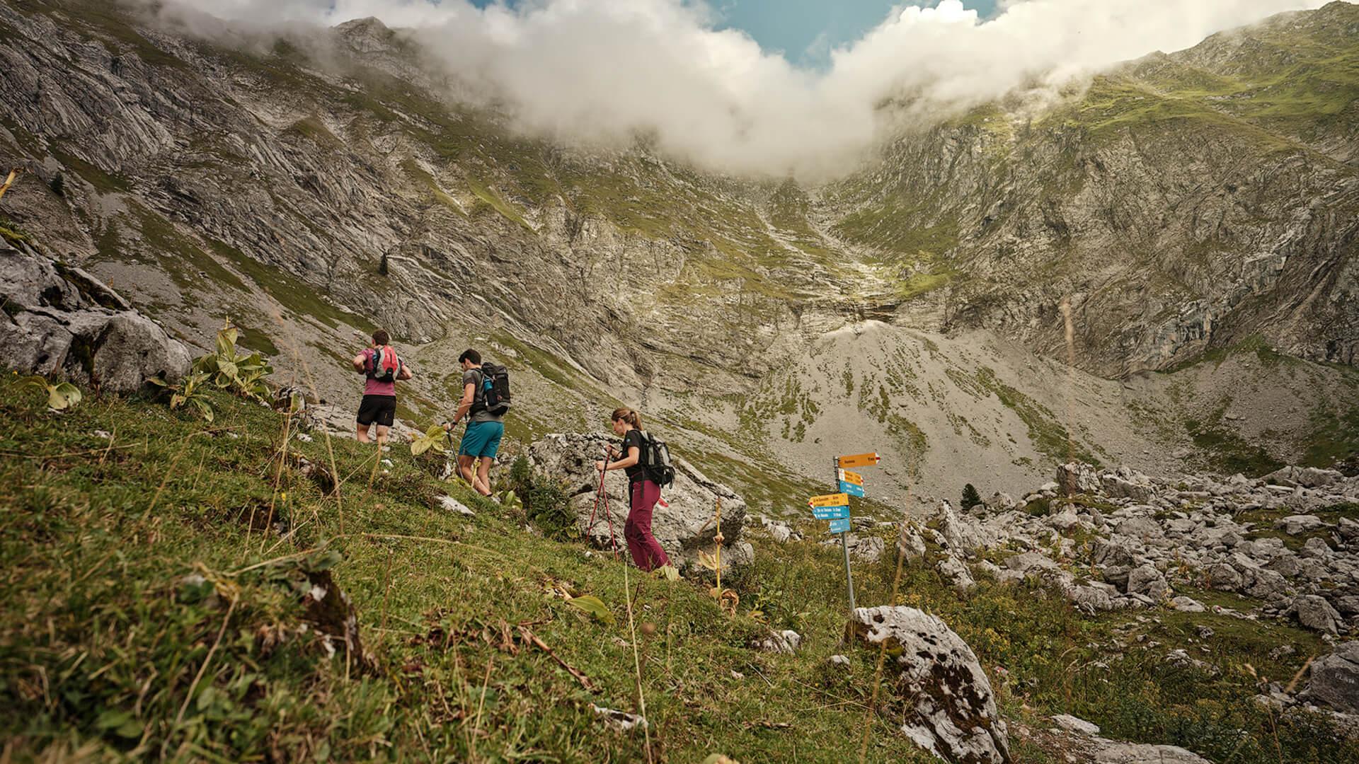
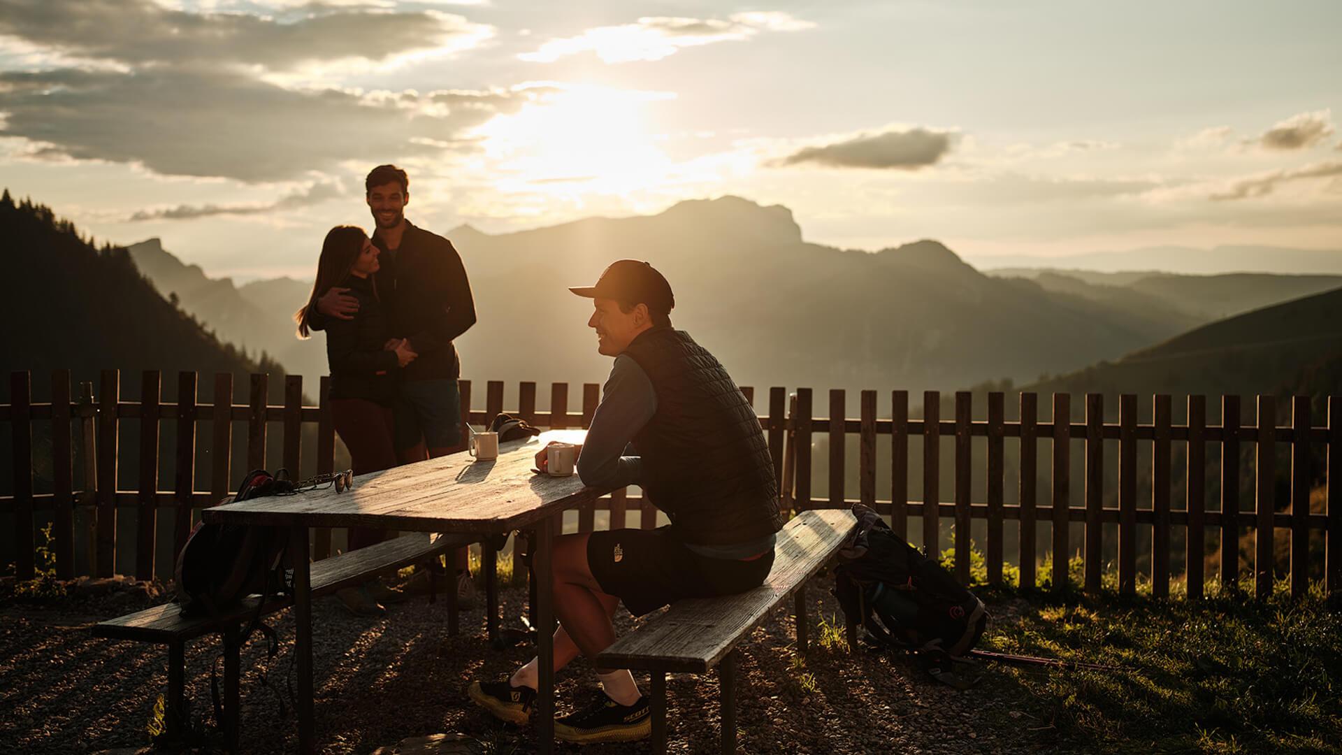
On the third day, hikers follow the slopes of the Vanil Noir. More technical than the previous days, this section requires sure footing and leads to the Col de Bounavaletta, which overlooks Intyamon. After an optional break at Cabane de Bounavaux, where refreshments are available, the trail gradually descends into the valley, returning to civilization in Grandvillard. This charming village offers a rural architectural walking tour, providing a cultural touch to conclude your trek.
Itinerary:
Les Marindes – Col de Bounavaletta – Cabane de Bounavaux – Grandvillard
9.3 km | 3h30 | 335m+ | Difficult
The difficulty level can be high in certain sections. Part of the route is marked as an 'Alpine Hike' and is reserved for experienced hikers familiar with mountainous terrain. Dogs are not allowed in the Vanil Noir Nature Reserve.
Information
La Gruyère Tourisme
Centre commercial Velâdzo (rez inférieur)
Place de la Gare 3
1630 Bulle


Properties of the itinerarie
Type of activity: Sports
Difficulty: Very challenging
Duration: 03:30
Distance: 10 km
Ascent/Descent: +333m / -1439m
Altitude min./max.: 762m / 2191m
Itinerary type
- Along the water
- Hike to the summits