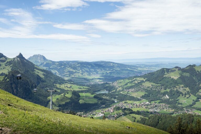
From the Vounetz summit, a sledging run leads down to the La Scie chairlift.
At the foot of the Dents Vertes, this run take you into the heart of nature, and through enchanting atmospheres. Suitable for a family outing or an outing with friends, the run offers great sensation.
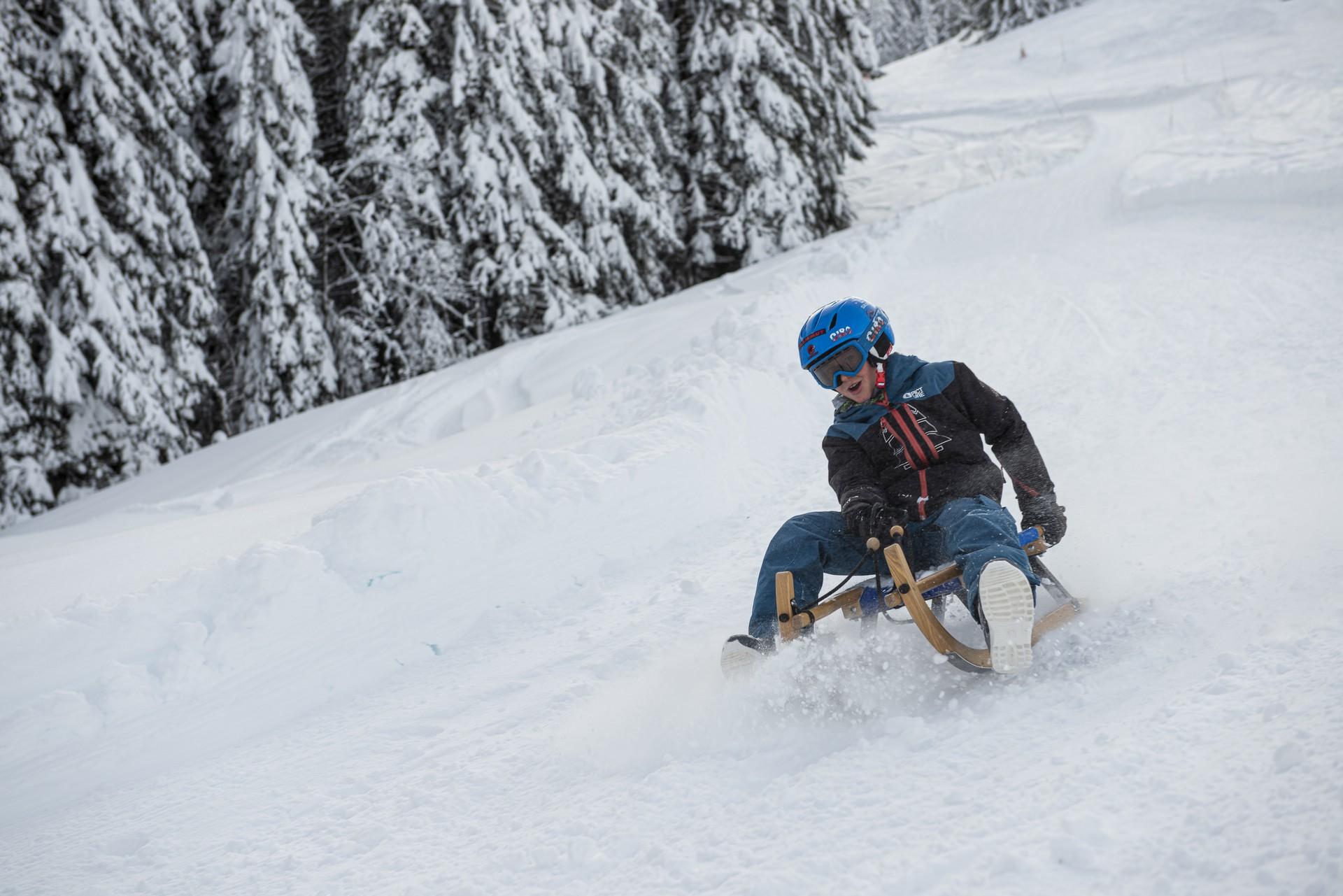
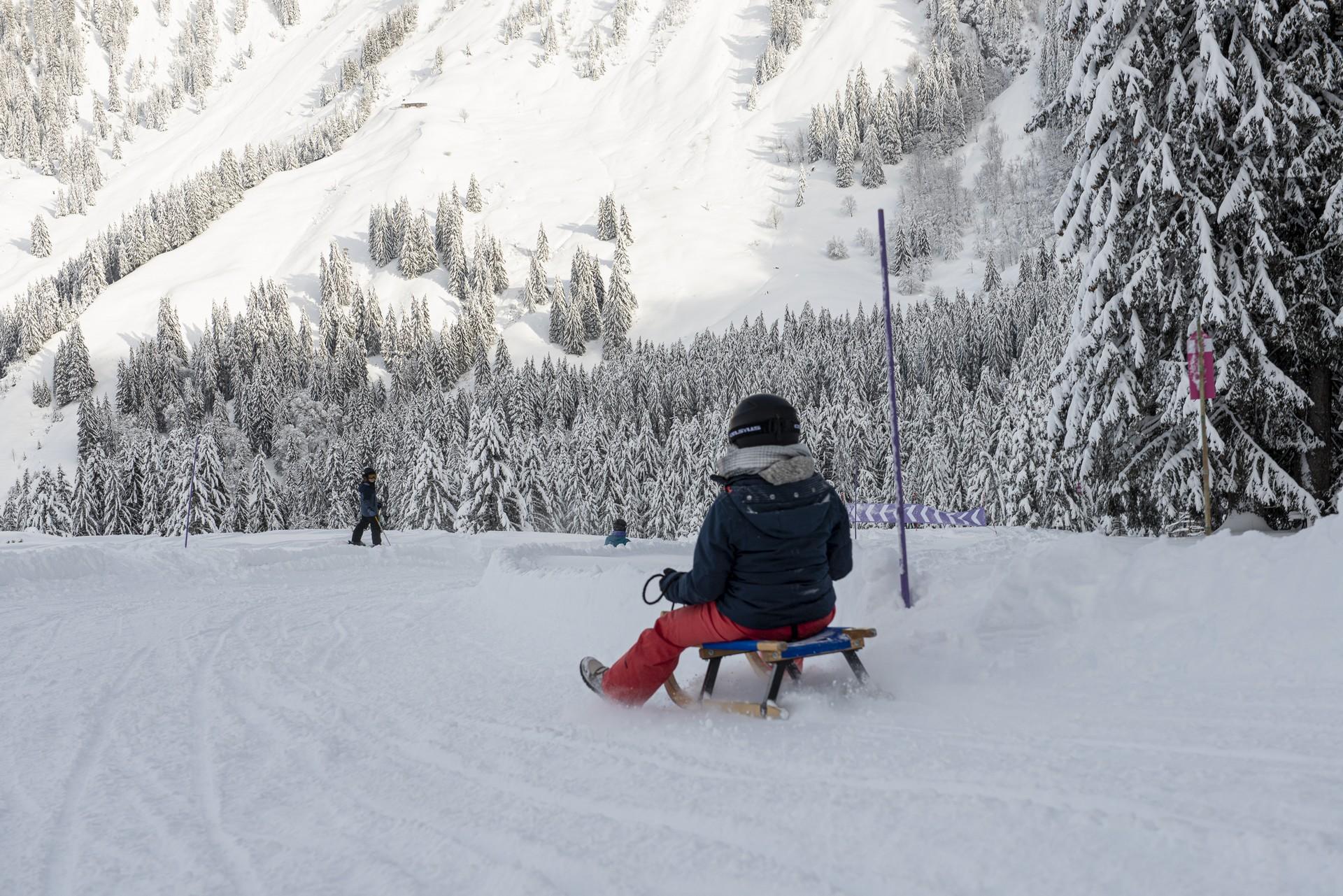
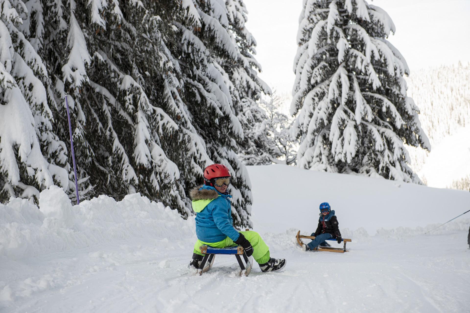
The track welcomes young and old alike to enjoy the pleasures of sledging in complete safety.
Length of the runs: 4000 m.
Vertical drop: 445 m.
Sledge rental: possible at the start of the ski lifts.
Transport by gondola lift: included in the price of the sledge run.
1 run
| Child (6-15) | 18.- CHF |
| Young (16-24) | 23.- CHF |
| Adult (25-63) | 26.- CHF |
| Senior (64+) | 23.- CHF |
| Magic Pass holder | Free |
| Sledge rental | 12.- CHF |
1 day
| Child (6-15) | 27.- CHF |
| Young (16-24) | 30.- CHF |
| Adult (25-63) | 32.- CHF |
| Senior (64+) | 30.- CHF |
| Magic Pass holder | Free |
| Sledge rental | 12.- CHF |
Information
TéléCharmey SA, Les Charrières 3, 1637, Charmey
Les Charrières 3
1637 Charmey
On Friday evening, there is nighttime sledding in Charmey!
It is possible to take your own sledge (also made out of plastic)
The price includes the cable car ride.
Last run at 15:45 - this activity depends on the weather condition.


Properties of the itinerarie
Type of activity: Sports
Difficulty: Moderately difficult
Distance: 4 km
Ascent/Descent: +10m / -445m
Altitude min./max.: 1175m / 1610m
Itinerary type
- Family hike