Region of Fribourg

The tourist region of Fribourg offers you unforgettable experiences... Lake, city or mountains, discover a real land of values! From gastronomy through traditions and hikes up to must-sees, let yourself be inspired by the visit of our website.

Discover the region of Fribourg

Fribourg Meeting offers you the possibility to comfortably organize your future seminars or congresses. Our website gives precious hints and tricks to find the ideal place for your next event.

Découvrir la région de Fribourg Die Region Freiburg entdecken

Choose a region

La Gruyère
Fribourg
Estavayer-le-Lac/
Payerne et Région
Region
Murtensee
Schwarzsee -
Senseland
Romont Région
Les Paccots
- La Veveyse

What are you looking for?

Choose a region

Welcome to the website of Fribourg Region and its tourist regions. Please select on the map the region you wish to discover and browse through its offers. We wish you a lot of fun!

swiss map
La Gruyere
Fribourg
Estavayer-le-Lac
Région Lac
de Morat
Schwarzsee-
Senseland
Romont
Les Paccots
You are in the region

Initiation trail of La Tzintre

Properties of the itinerarie

Difficulty: Very easy

Distance: 1 km

Duration: 00:30

Type of activity: Family

Ascent/Descent: +13m / -13m

Altitude min./max.: 853m / 858m

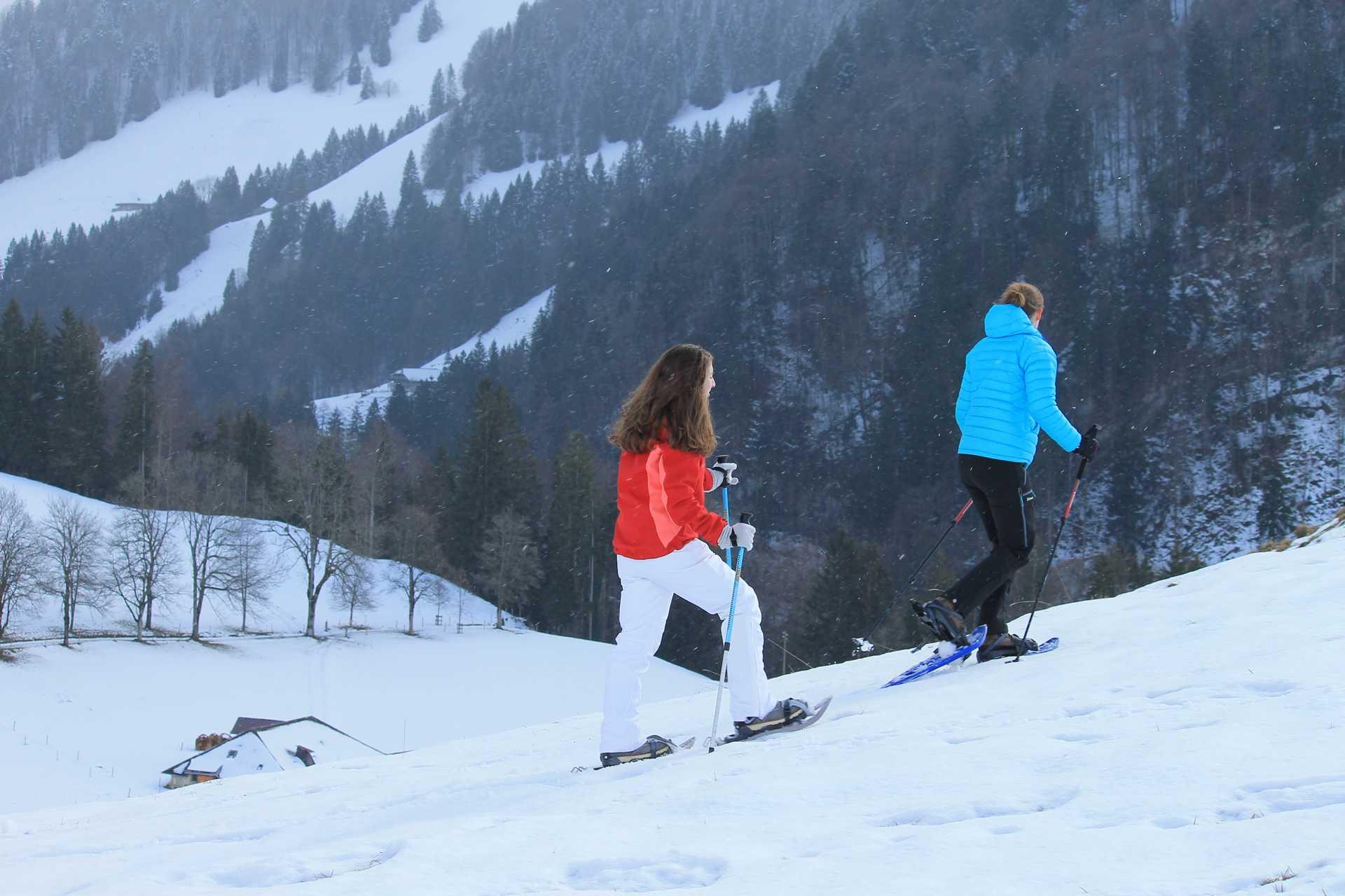
Snowshoeing discovery trail through a small forest on the outskirts of the village of Charmey.

This trail, which does not have a significant gradient, is entirely dedicated to beginners and to people who are exploring this activity for the first time. It is an ideal trail for families with children to discover the joys of snowshoeing. The route is signposted for walking at night. Give your children headlamps and experience their emotions. The passage through the forest, the cabin in the dark and their imagination will amuse you a lot. An unforgettable experience for them and for you. The return journey is along the river Jogne to the Lodzetta park.

Information

La Gruyère Tourisme
Place des Alpes 26
1630 Bulle

This unprepared route is signposted. You use this trail at your own risk.

Properties of the itinerarie

Difficulty: Very easy

Distance: 1 km

Duration: 00:30

Type of activity: Family

Ascent/Descent: +13m / -13m

Altitude min./max.: 853m / 858m

Download files

Report an error

More information