


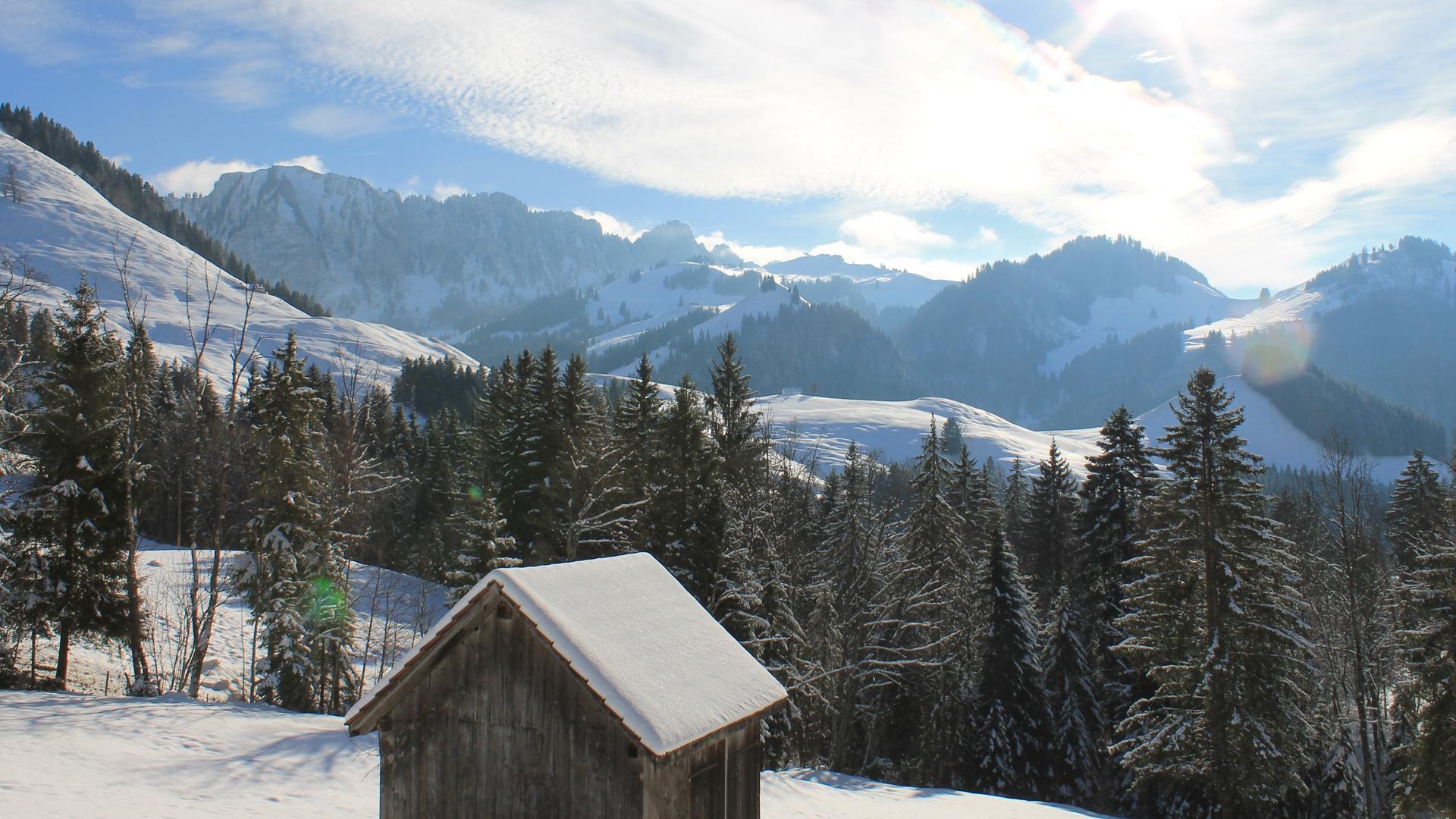
During this circular hike, you will see the alpine chalets: Les Féguelenets, la Guisolanda or la Grosse Raynauda. Auta Chia offers you a magnificent panoramic view of La Gruyère and the peaks of the Fribourg Pre-Alps, before a pleasant descent into the forest.
In this valley of the Javro, the Chartreux monks of the Valsainte have found their source of life and a haven of peace. The trail starts near the imposing Valsainte enclosure. It will take you to the high ground in about 3h. Who wants to shorten this part can also start at the Plan car park, 2 km after the enclosure.
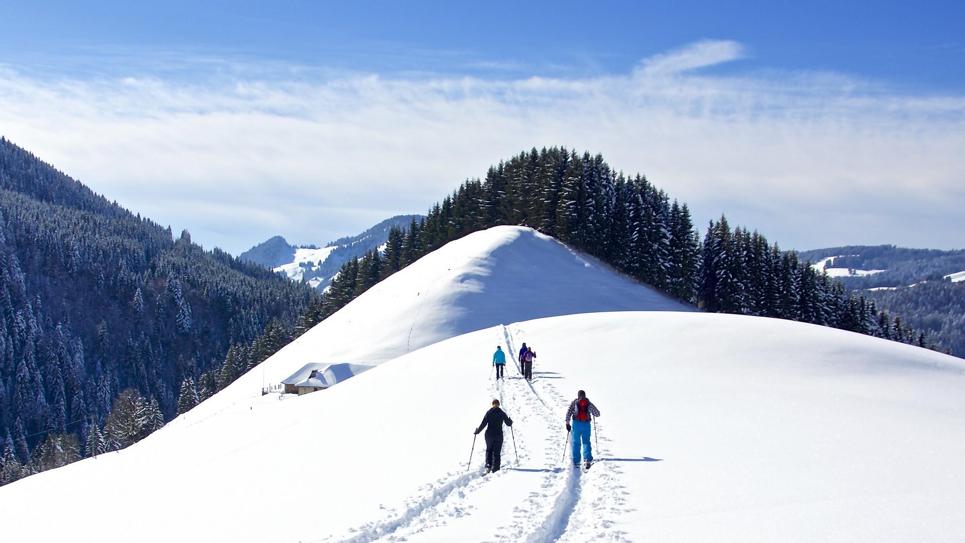
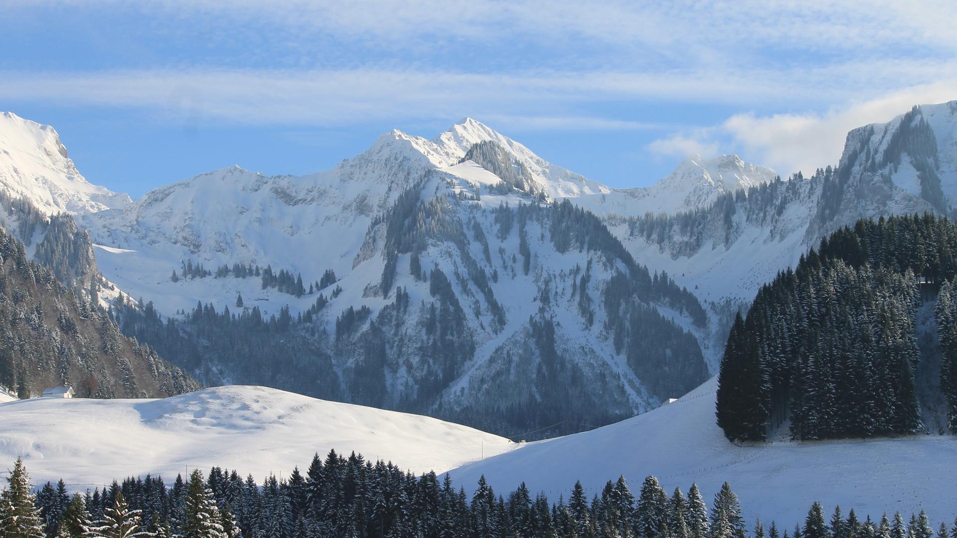
The route takes you to several mountain pasture chalets, part of the Fribourg cultural heritage: the Féguelenets pasture and its large chalet, followed by a route through the Guisolanda forest, in a calm and magical environment. An impregnable panorama awaits you: Moléson, Dent de Broc, Gros Brun, Vounetse and Berra. Once you reach the pass, you will discover the Auta Chia mountain hut (open on winter weekends), from where you can also reach La Berra by a pretty ridge to the West, or to the East Schwarzsee via La Patta and Le Fuchses Schwyberg.
The return is mainly between clearings and forests, to get to Les Echelettes by the forest road. Allow about 3 hours for the descent until the Valsainte monastery or 2h15 until the parking Les Plans. The Auta Chia itinerary can be done in both directions.
Find in the "Download files" a complete description of the snowshoe trail to download, print and take with you during your hike.
Information
La Gruyère Tourisme
Centre commercial Velâdzo (rez inférieur)
Place de la Gare 3
1630 Bulle
This unprepared itinerary is marked. You take this trail at your own risk.


Properties of the itinerarie
Type of activity: Sports
Difficulty: Challenging
Duration: 06:00
Distance: 14 km
Ascent/Descent: +590m / -591m
Altitude min./max.: 967m / 1474m


