


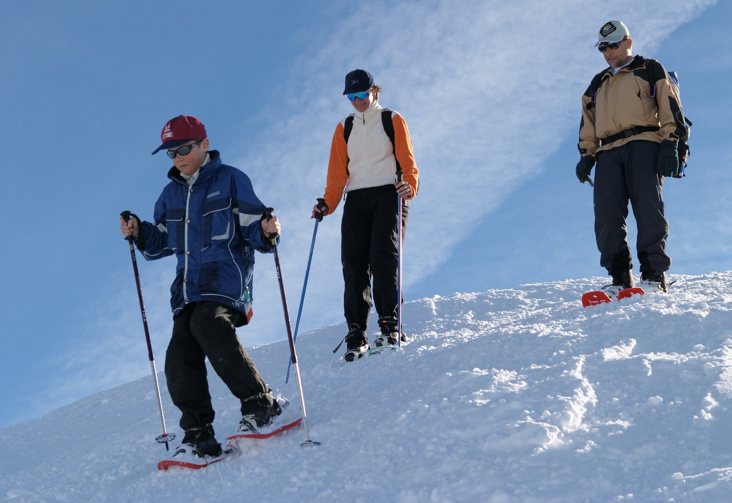
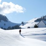
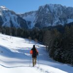
The “Pré-de-l’Essert” snowshoe trail is a circular walk. Located in a “wild” valley, this is an ideal route for nature lovers.
Switzerland Mobility: route 268
Charmey: Les Plans
Escape and spirituality are two perfect words to describe this path. It runs in a circle through the Javroz valley, home to the Chartreuse de la Valsainte, a nationally important monastery of Carthusian monks, founded in 1295.
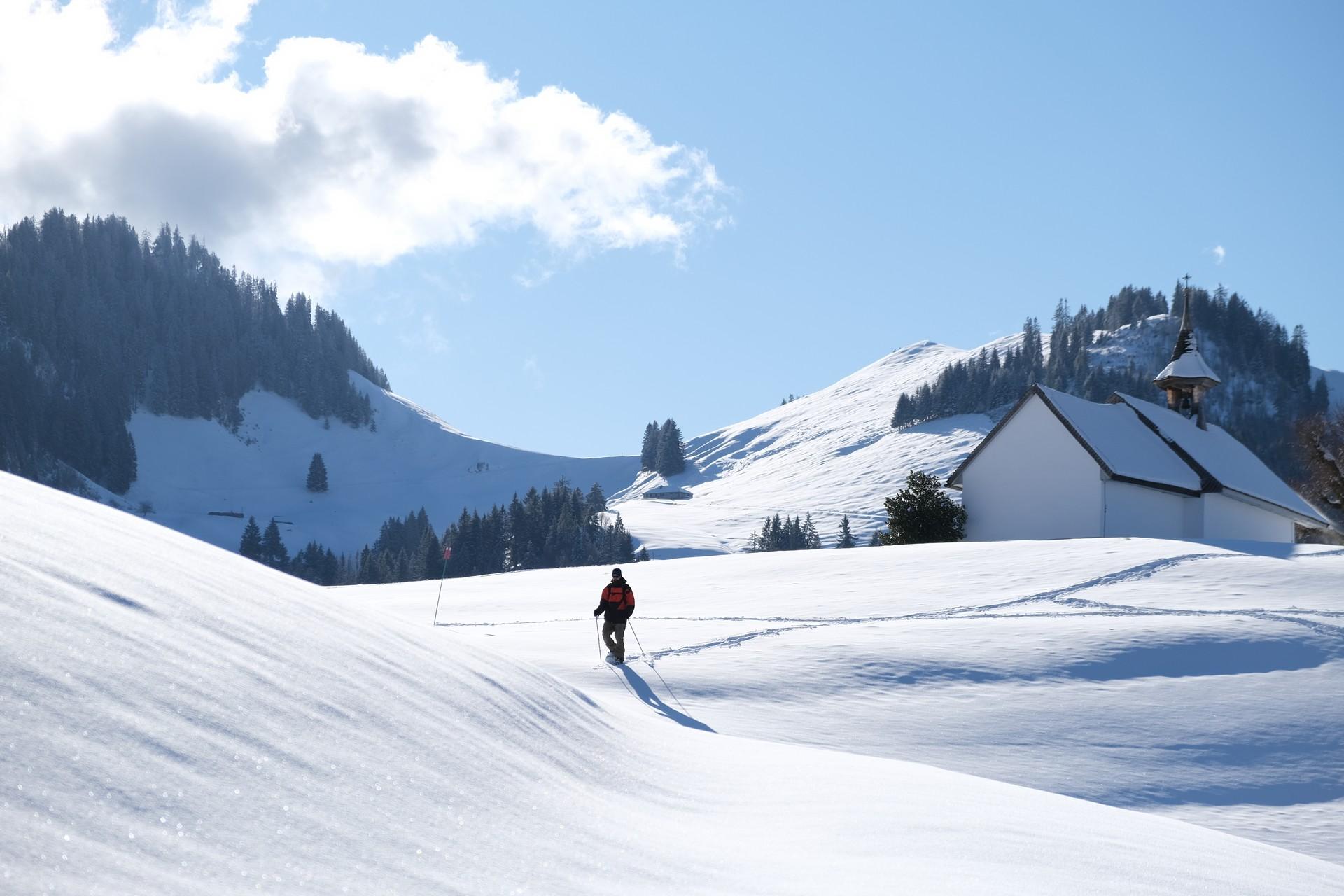
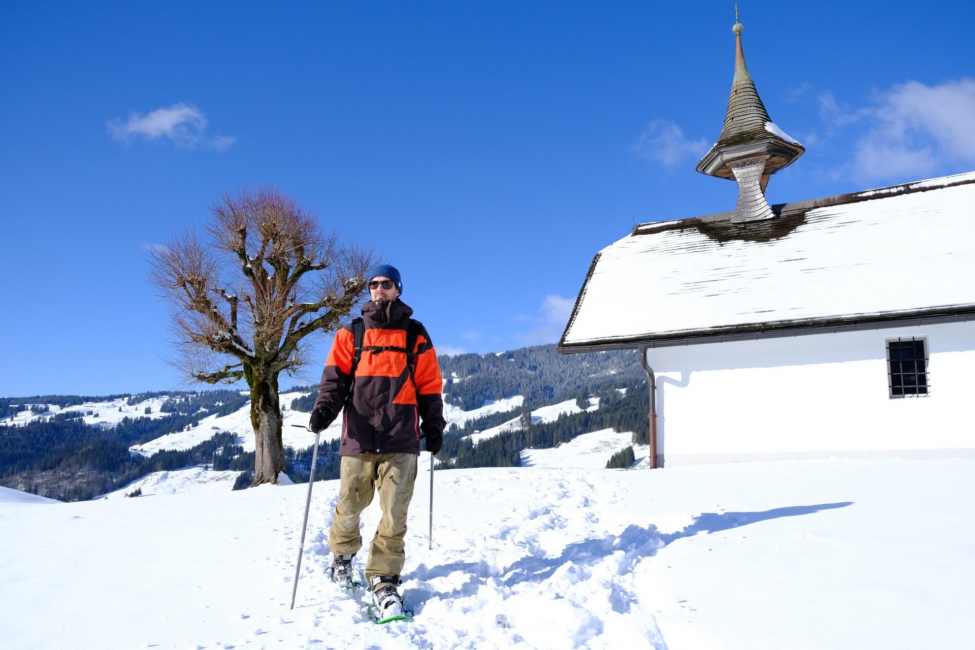
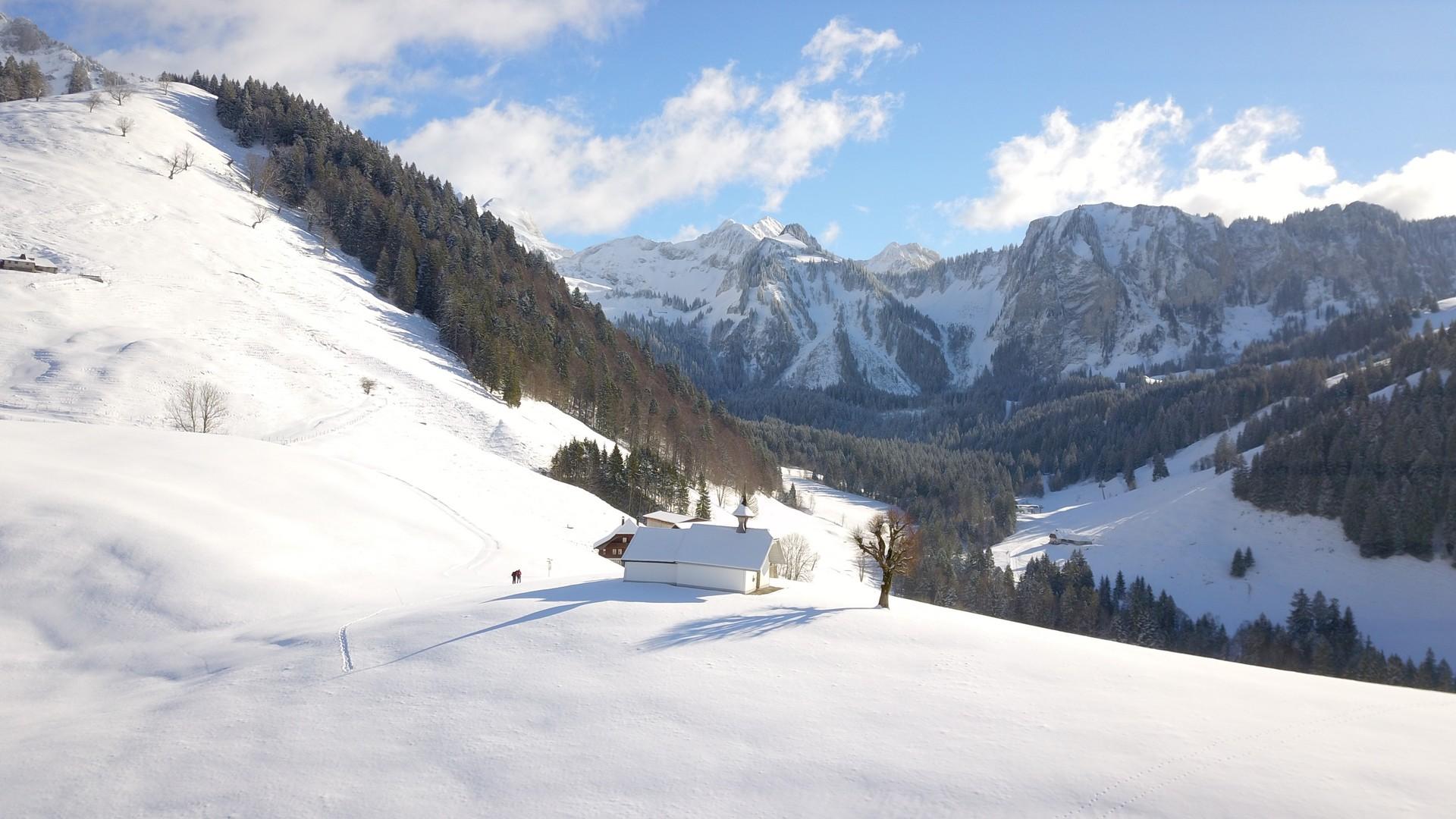
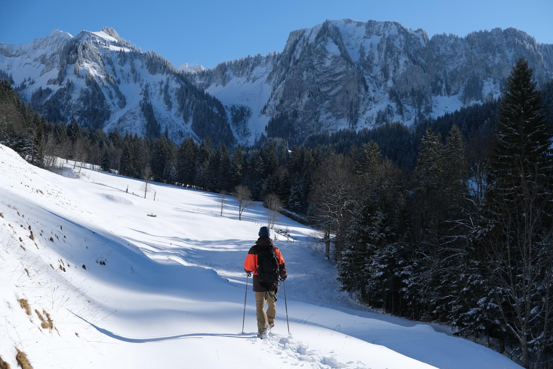
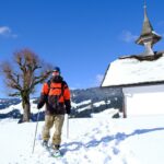
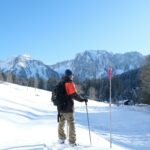
From the starting point in Les Plans, you head towards the river Javroz, which you cross via a footbridge. Climb back up the Rio de l’Essert valley to “La Scie” and follow the marked route through the forest. The stream that runs down the eastern side of the Reposoirs forest is easily crossed via a small bridge. Before you reach La Scie, head off to the left towards the Pré de l’Essert. From the path, you will see a gem of a chapel on the promontory, with a roof covered with timber shingles, built in 1146 by the monks of Hauterive. First you will pass Pré de l’Essert farm, the highest agricultural holding in the canton of Fribourg. Continue the path through the forest and then cross the river Javroz. On the last part of the route, you can admire the Javroz valley and Valsainte monastery.
The path is waymarked in both directions with reflective markers. Parking is available at the start, or you can reach it by Alpine bus, Valsainte stop.
Find in the "Download files" a complete description of the snowshoe trail to download, print and take with you during your hike.
This unprepared itinerary is marked. You take this trail at your own risk.


Properties of the itinerarie
Difficulty: Moderately difficult
Duration: 04:00
Distance: 9 km
Ascent/Descent: +400m / -400m
Altitude min./max.: 971m / 1207m


