


This trail takes you to the top of Vounetz. From the midway station on the cable car, the route crosses the mountain pastures and the ski area before reaching the summit. The second part offers a beautiful panoramic view with the mountain Berra, the Vanil Noir and the Moléson.
SwitzerlandMobility: route SS 271
Charmey: Cable Car, midway station - Cable Car, Vounetz
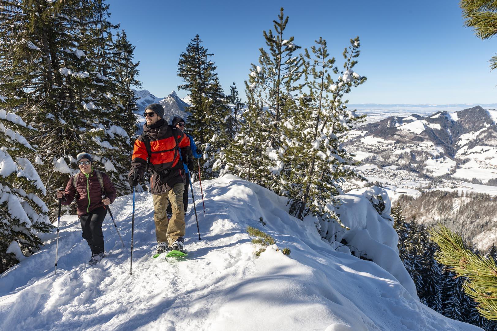
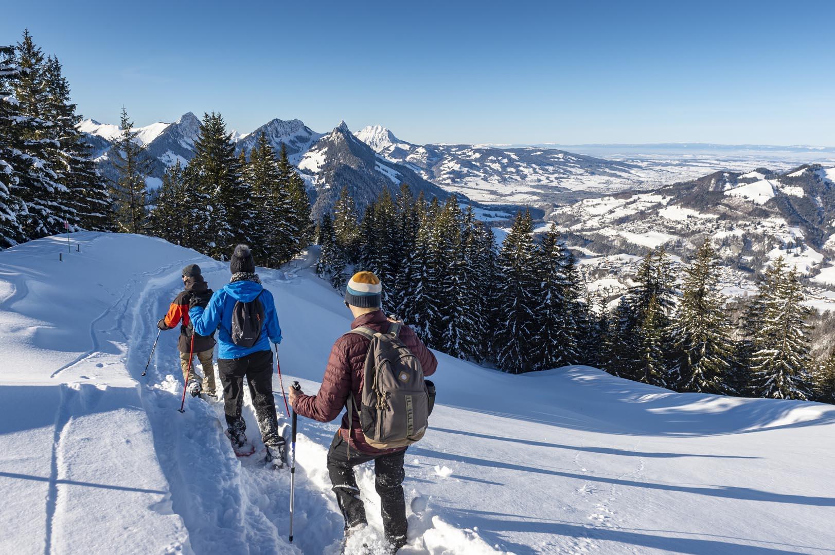
This snowshoe loop hike begins above Charmey in the La Chaudalla district. It is also possible to start at the midway cable car station in Charmey. The path passes a mountain chalet with a roof made from timber shingles. The route then climbs steadily along the edge of the forest. As you walk, you will have views of the Jogne valley, the Dent de Broc and the Vanil Noir in turn. When you reach the Tissinèva chalet, walk along the ridge to reach the summit. The second part of the walk offers one of the most beautiful panoramic views of La Gruyère and its main peaks: The Berra, the Vanil Noir and the Moléson.
The Dents Vertes restaurant on the Vounetz summit is also open all winter. See the mighty peaks of the Vaud and Fribourg Alps rowing up in the foreground. Behind them the view extends all the way to the Dents Vertes and the Mont Blanc.
The return from the peak leads mostly through the forest. Past the Drotsu d’en Haut farm, located in a beautiful clearing, the trail takes some turns below the cable car. Shortly thereafter, it joins the uphill path and follows it, although going downhill now, back to La Chaudalla.
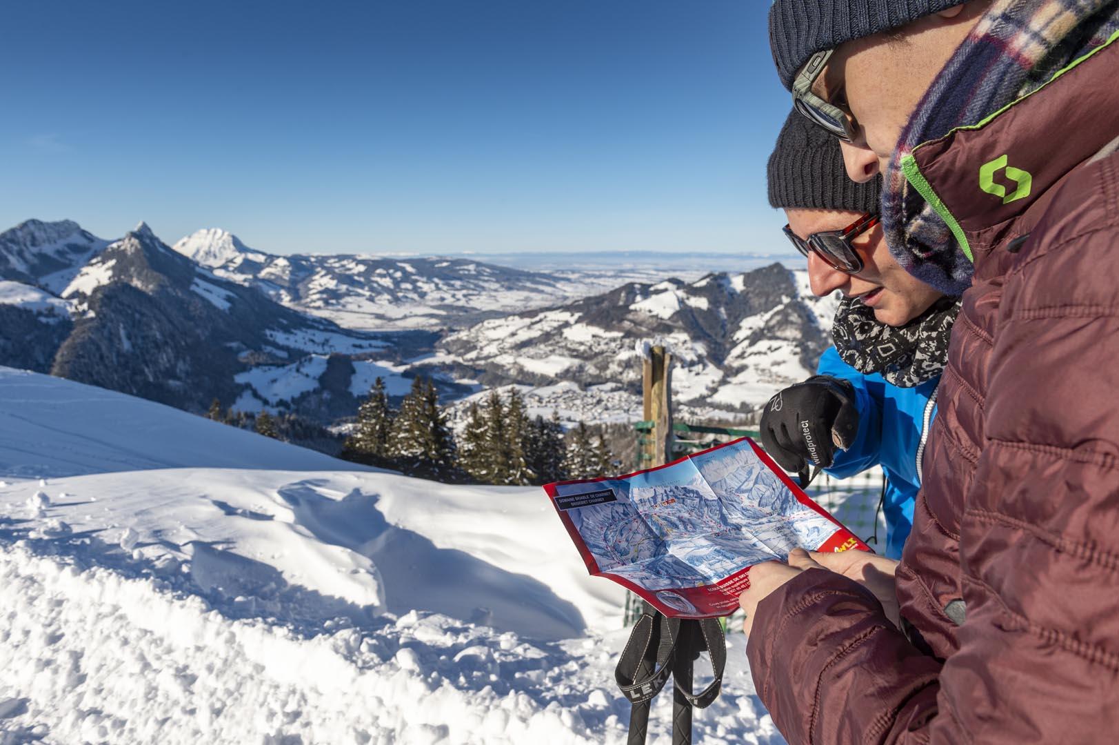
Find in the "Download files" a complete description of the snowshoe trail to download, print and take with you during your hike.
Information
La Gruyère Tourisme
Centre commercial Velâdzo (rez inférieur)
Place de la Gare 3
1630 Bulle
This unprepared itinerary is marked. You take this trail at your own risk.


Properties of the itinerarie
Difficulty: Challenging
Duration: 04:20
Distance: 6 km
Ascent/Descent: +615m / -497m
Altitude min./max.: 1015m / 1607m


