Region of Fribourg

The tourist region of Fribourg offers you unforgettable experiences... Lake, city or mountains, discover a real land of values!


Fribourg Meeting offers you the possibility to comfortably organize your future seminars or congresses.

Choose a region

La Gruyère
Fribourg
Estavayer-le-Lac
Region
Region
Murtensee
Schwarzsee -
Senseland
Romont Région
Les Paccots
- La Veveyse

What are you looking for?

Choose a region

Welcome to the website of Fribourg Region and its tourist regions. Please select on the map the region you wish to discover and browse through its offers. We wish you a lot of fun!

swiss map
La Gruyere
Fribourg
Estavayer-le-Lac
Region
Région Lac
de Morat
Schwarzsee-
Senseland
Romont
Les Paccots
You are in the region
Search

Mountain bike tour – Tour « Dent de Lys »

Properties of the itinerarie

Type of activity: Sports

Difficulty: Challenging

Duration: 04:15

Distance: 36 km

Loop itinerary

Ascent/Descent: +1569m / -1573m

Altitude min./max.: 768m / 1578m

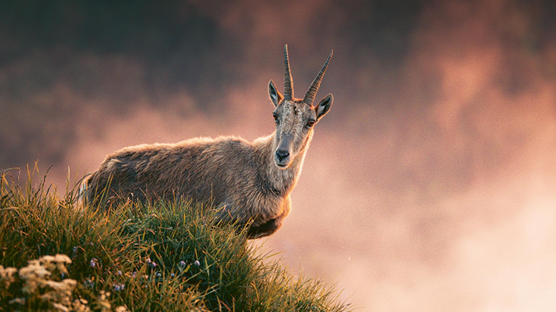
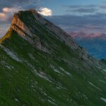
Beautiful tour with amazing panoramas.

Ascent from Albeuve to Les Sciernes by an asphalt road, and continue to Allières on natural paths. Then reach the Col du Jaman (4x4 trail), before the descent to La Veveyse, bordering the E side of "La Cape aux Moines" on a gravelly path. Continue to the Col du Soladier, through a pasture and on a road. Difficult access to Paccot-Dessus on a gravelly soil.
Cross to Belle-Chaux, and come back by Les Moilles and Tsuatsau on singletrails and natural paths. The last section is on an asphalt road.

Catering possiblity:
Les Sciernes d'Albeuve, Col de Jaman, Albeuve

Places along the route:
Albeuve - Les Sciernes d'Albeuve - Col de Jaman - Col de Soladier - Guedère - Paccot-Dessus - Belle Chaux - Tsuatsau-Dessus - Albeuve

Starting point:
Albeuve, gare


Discover all the information for your bike, mountain bike or e-bike tour in La Gruyère.

Information


La Gruyère Tourisme, Place des Alpes 26
1630 Bulle

Properties of the itinerarie

Type of activity: Sports

Difficulty: Challenging

Duration: 04:15

Distance: 36 km

Loop itinerary

Ascent/Descent: +1569m / -1573m

Altitude min./max.: 768m / 1578m

Download files

External links

Report an error

More information

We use cookies to provide you with a better experience.

By browsing this site, you accept the Data Protection Policy, as well as the use of cookies to collect statistics for the purpose of continually improving the website.

Close