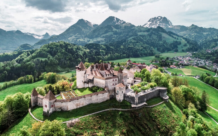
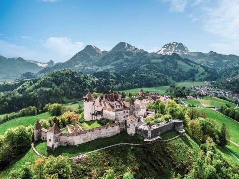
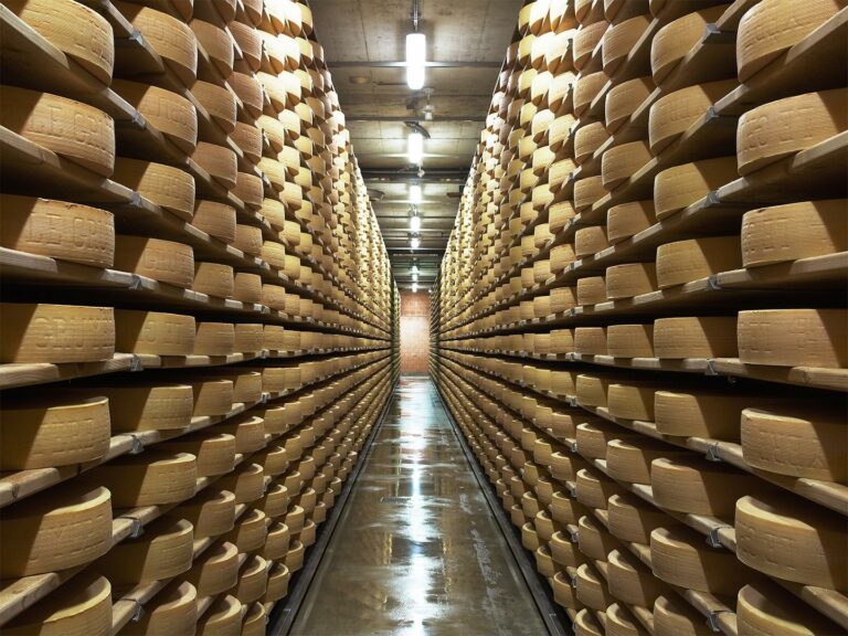
From Bulle Castle to that of Gruyères, via the Maison du Gruyère.
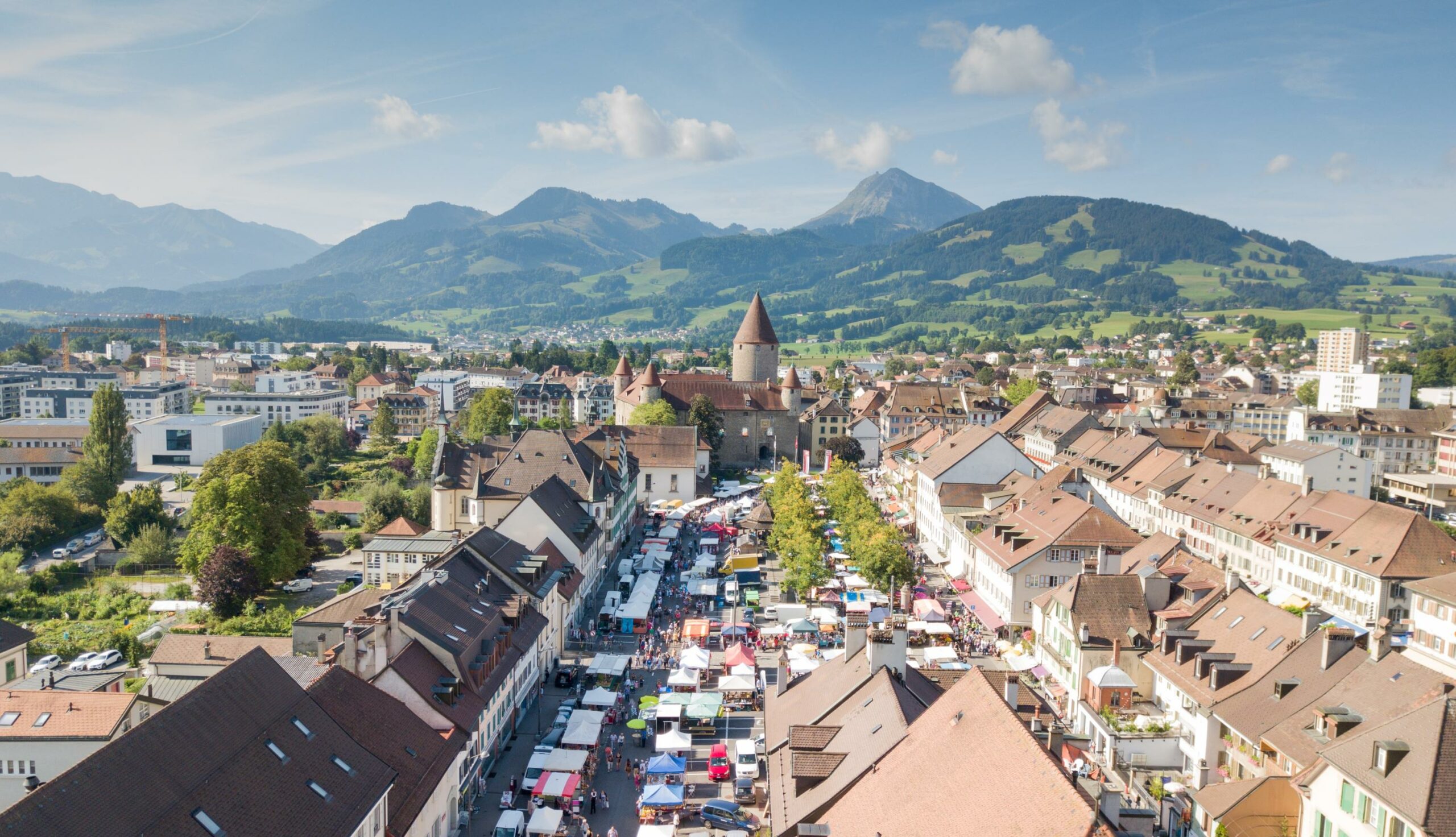
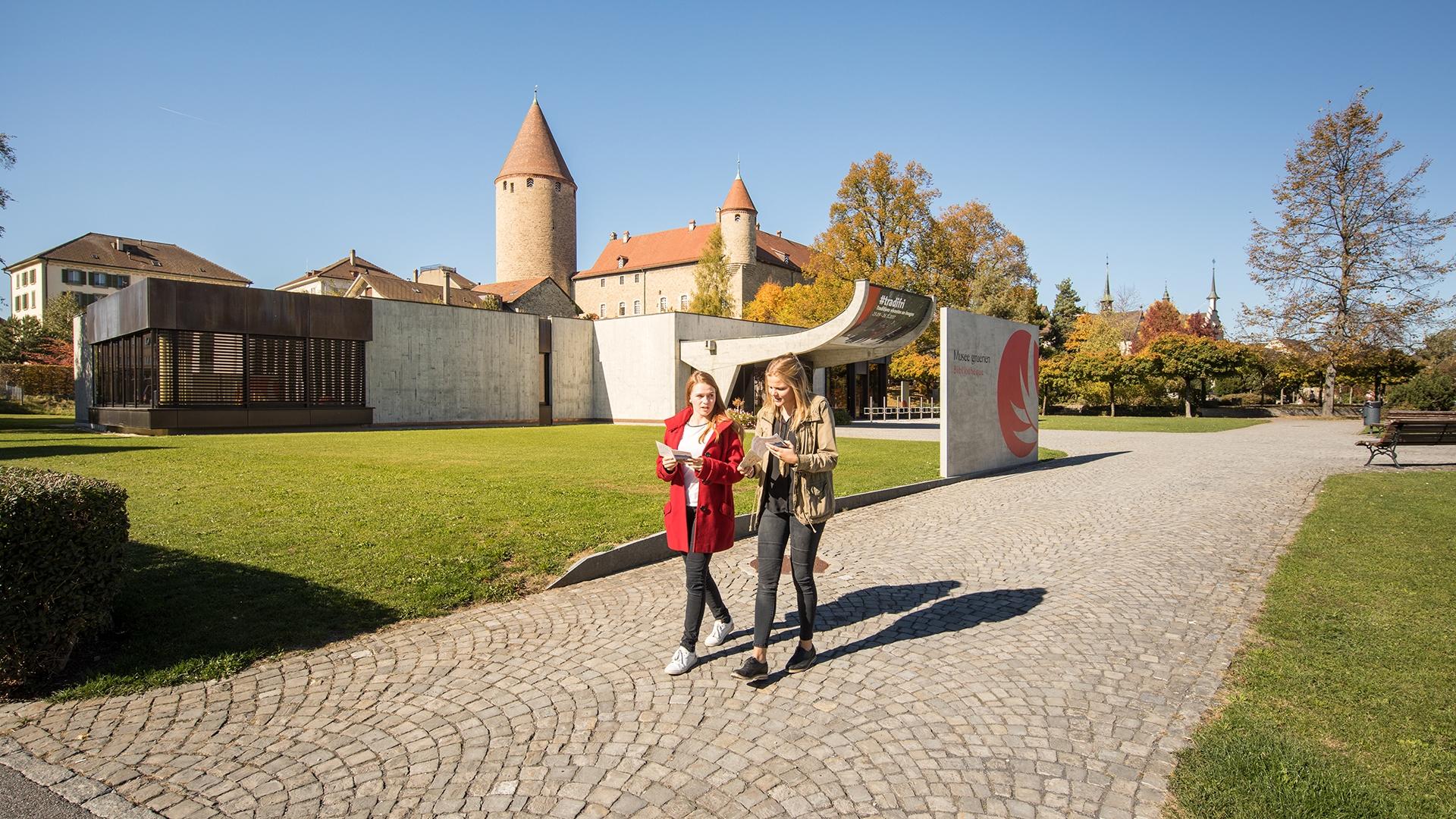
In the heart of the town you look up to the huge keep of Bulle Castle, and although it’s not open to visitors, seeing its gardens makes the detour worthwhile.
Taking the Rue de Gruyères, you come into the Place Saint-Denis, with its monument dedicated to Abbé Joseph Bovet, who was an author and the composer of the very famous song "Ranz des vaches". Carrying on due south, you take the Rue du Moléson, then you cross the bridge over the River Trême, and take the second road on your right to reach the area called Les Granges.
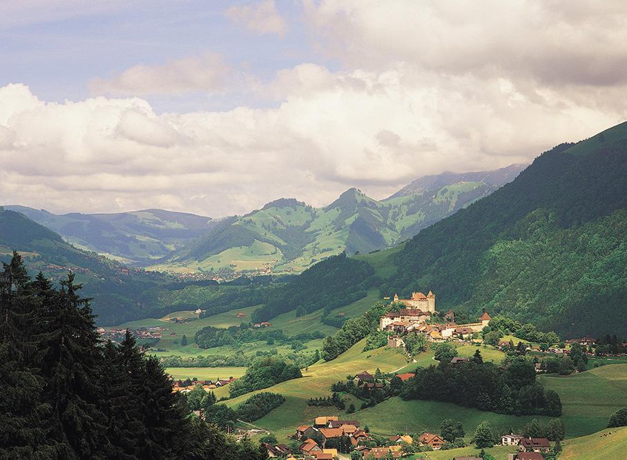
Turning left then, on the Route de la Gîte, you’ll be crossing fields and see you’re in the shadow of the imposing Moléson, which rises to 2,002 metres (over 6,000 feet) on your right. You can now see the locality called Le Pâquier in the distance.
Walking a little above the village, go in the direction of the Foyer Montbarry. This is where women risked their lives with God. In the peace and quiet of the place, may you perceive a "je ne sais quoi" that appeals to you and speaks to your heart.
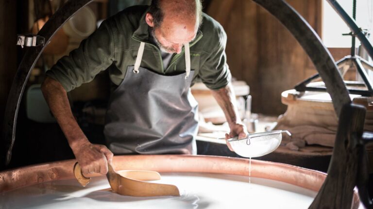
Going back down through the little woodland and crossing the Albeuve river, you’ll be welcomed by the village of Pringy and the railway station of Gruyères. This is where a visit to the Maison du Gruyère, a demonstration dairy, is indicated. You’ll find this building opposite the Gruyères Station.
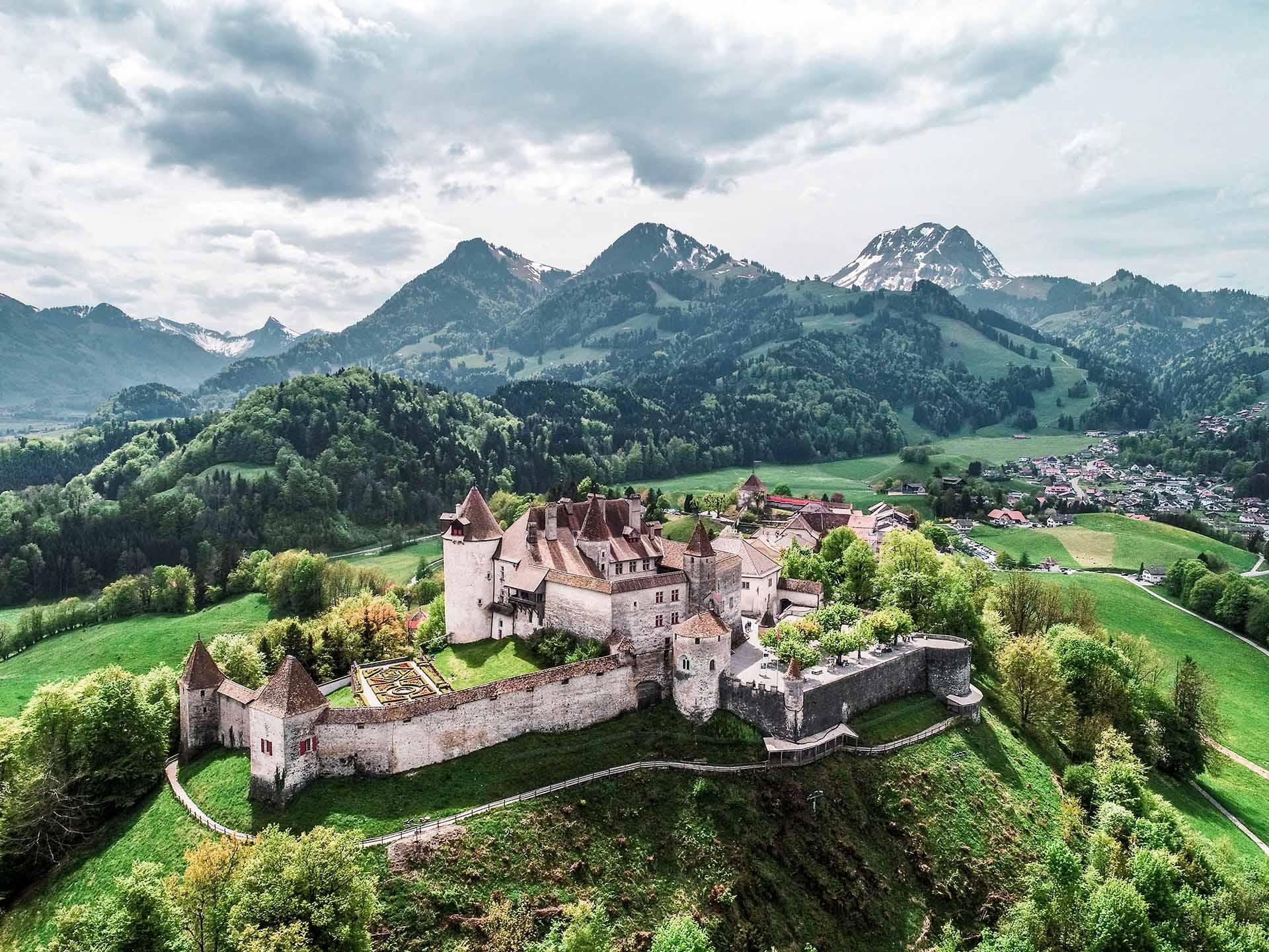
Raise your eyes and look, marvel at the view! All you have to do now is to climb the hill to reach the centre of the ancient town of Gruyères, with its feudal castle where the soul of the country relives with its history, its poetry and its legends.
Accessible by public transport: yes | Nearest bus or train stop: Bulle, gare /Gruyères, gare
Accessible by car: yes
Discover all the hiking trails in La Gruyère.
Information
La Gruyère Tourisme
Centre commercial Velâdzo (rez inférieur)
Place de la Gare 3
1630 Bulle
Properties of the itinerarie
Difficulty: Very easy
Duration: 01:40
Distance: 7 km
Ascent/Descent: +163m / -127m
Altitude min./max.: 739m / 808m


