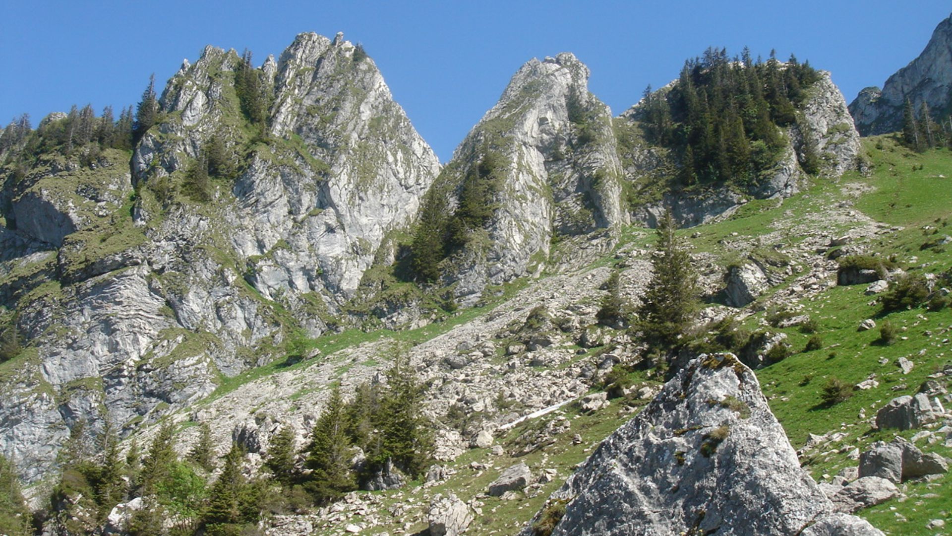
Set off to discover the Dent de Hautaudon on this varied loop trail that crosses cantonal borders. Starting from Les Cases, the path gradually climbs to the Col de Bonaudon, where you might spot climbers preparing to tackle the ridge of the “Gais alpins.” The three Bonaudon alpine huts guide you step by step down to the Hongrin River, which you can follow to the idyllic Seythours alpine refreshment hut, near Allières.
The hike starts at the Les Cases train stop (1100 m), on the line connecting Montreux and Zweisimmen via Montbovon (MOB). Follow the yellow-marked trail towards Col de Jaman, a historic pass linking the Pays-d’Enhaut and the Lake Geneva region. Since the Middle Ages, this route was used for commercial exchanges, especially the export of cheese to Vevey and beyond.
At 1477 m, turn left towards the Rochers de Naye before reaching the Col de Jaman. Another left turn at 1702 m leads to the Col de Bonaudon (1753 m). From there, the trail becomes red-white marked, indicating a mountain hiking path. Take a moment at the pass to catch your breath and enjoy the view over the Hongrin Valley.
The trail then descends through scree slopes, pastures and forests, passing the three Bonaudon chalets down to the Hongrin River. Follow the river towards Allières, and be sure to stop at the Les Seythours refreshment hut for a well-deserved break. From Allières, you can catch the train back to Montbovon.
Please take your rubbish with you and leave no trace in nature.
Public transport access: Yes, hourly from Bulle with a change in Montbovon, then MOB line (Montreux–Montbovon–Zweisimmen).
Car access: Yes, limited parking available at Allières station.
On the way: Les Seythours refreshment hut: Visit the website
Information
Office du Tourisme de Gruyères
Rue du Bourg 1
Case postale 123
1663 Gruyères
Properties of the itinerarie
Type of activity: Sports
Difficulty: Moderately difficult
Duration: 04:07
Distance: 12 km
Ascent/Descent: +686m / -800m
Altitude min./max.: 988m / 1755m


