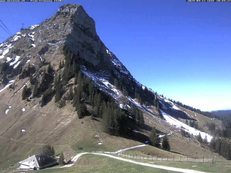
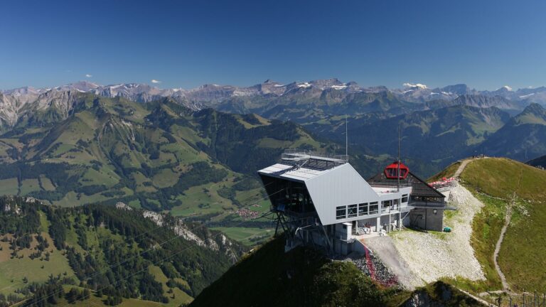
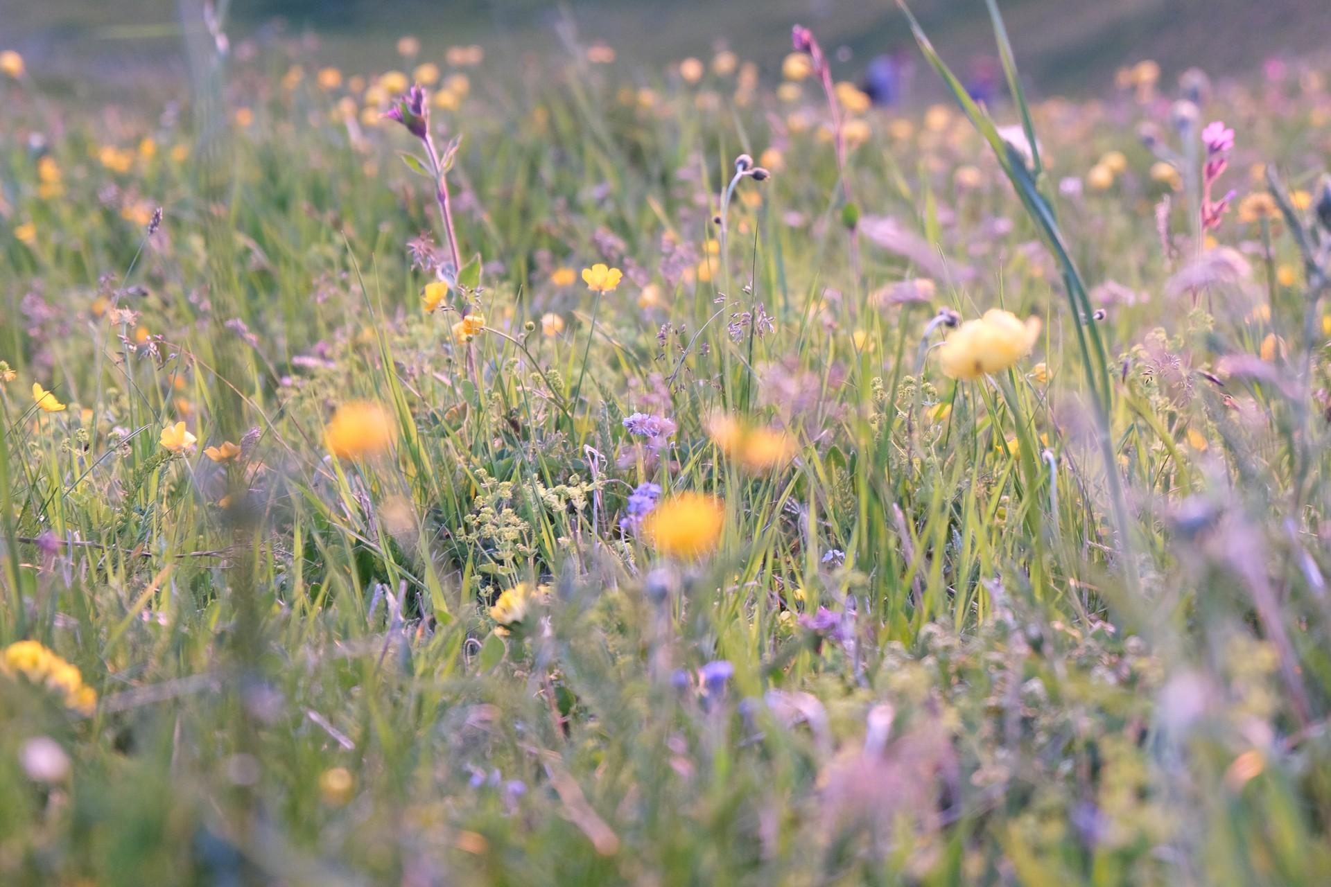
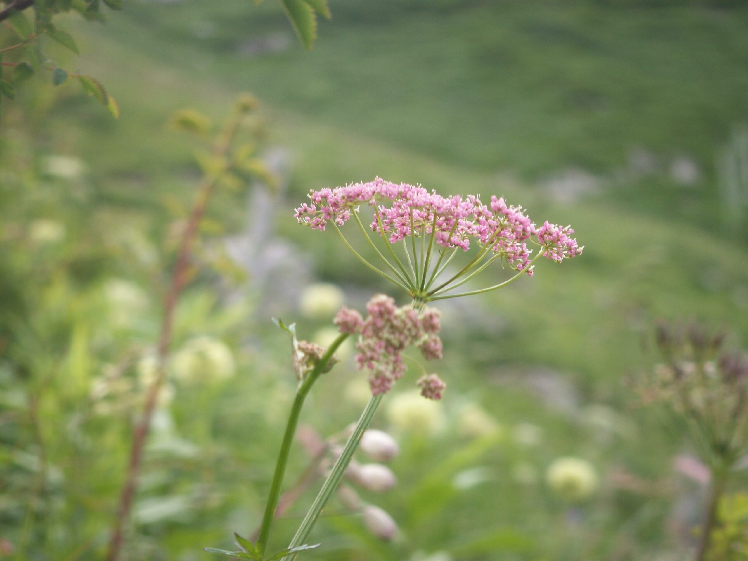
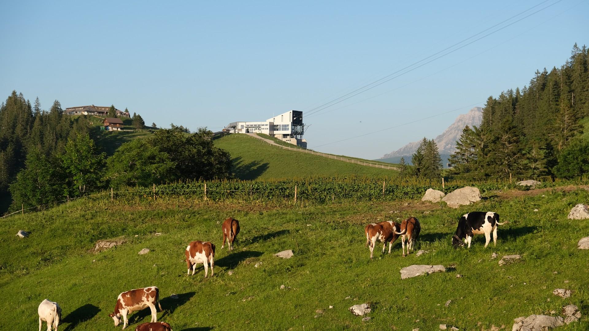
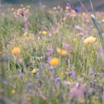
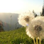
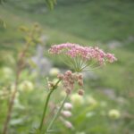
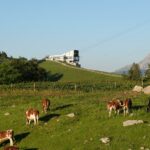
From Plan-Francey to Gros-Moléson (Moléson East slope). From Spring to Autumn, informative signs enable walkers to identify 150 Alpine plants.
Accessible by public transport: yes | Nearest bus or train stop: Moléson-sur-Gruyères (funi)
Accessible by car: yes
Discover all the hiking trails in La Gruyère.
Information
Office du Tourisme de Moléson
Route du Moléson 228
1663 Moléson-sur-Gruyères

Properties of the itinerarie
Difficulty: Easy
Duration: 02:30
Distance: 6 km
Ascent/Descent: +472m / -202m
Altitude min./max.: 1113m / 1545m
Itinerary type
- Family hike
- Educational hike