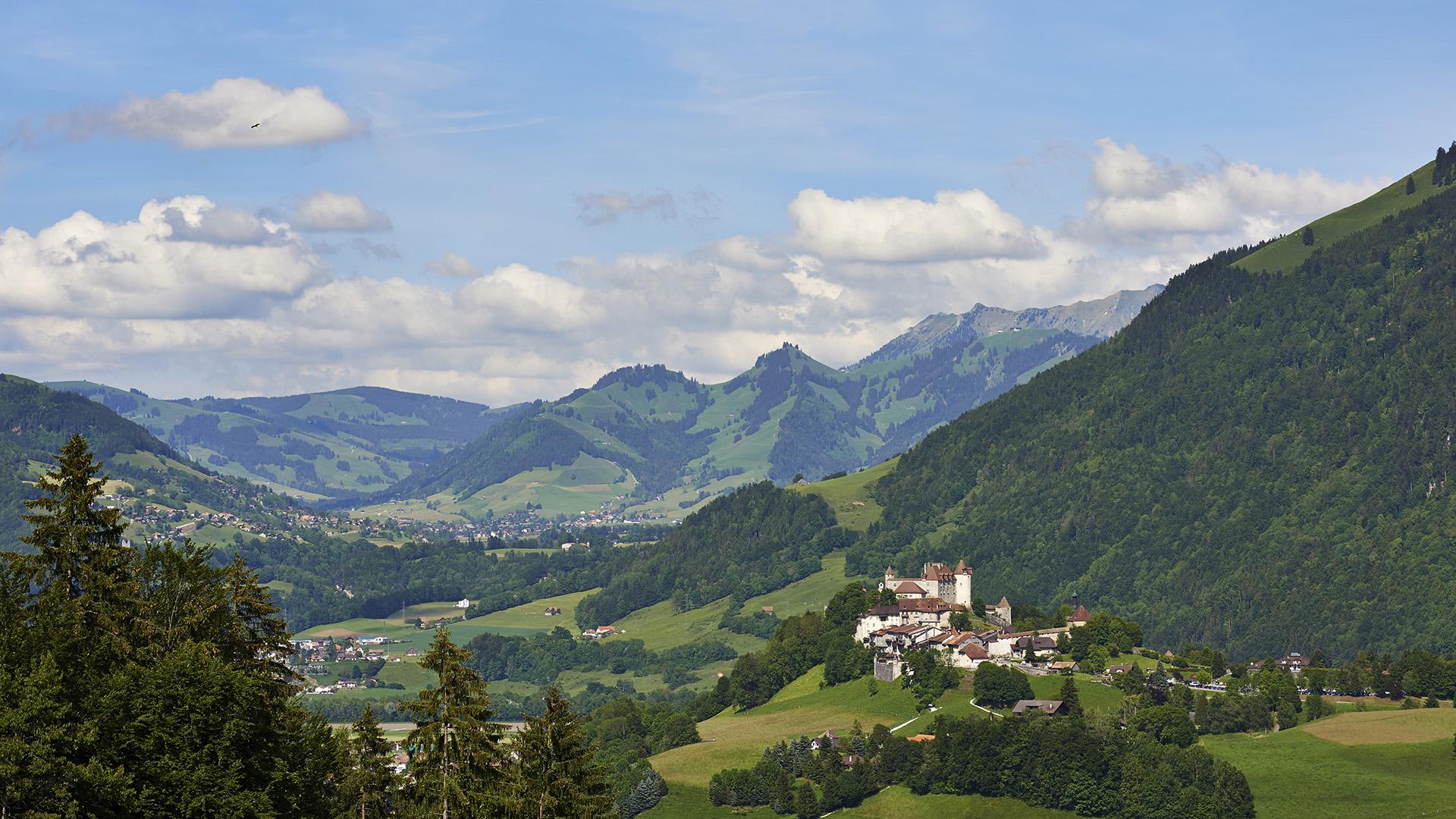
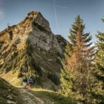
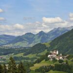
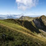
A promising climb, a 360° view and an exploration of the mountain pastures around Fribourg await you in Moléson.
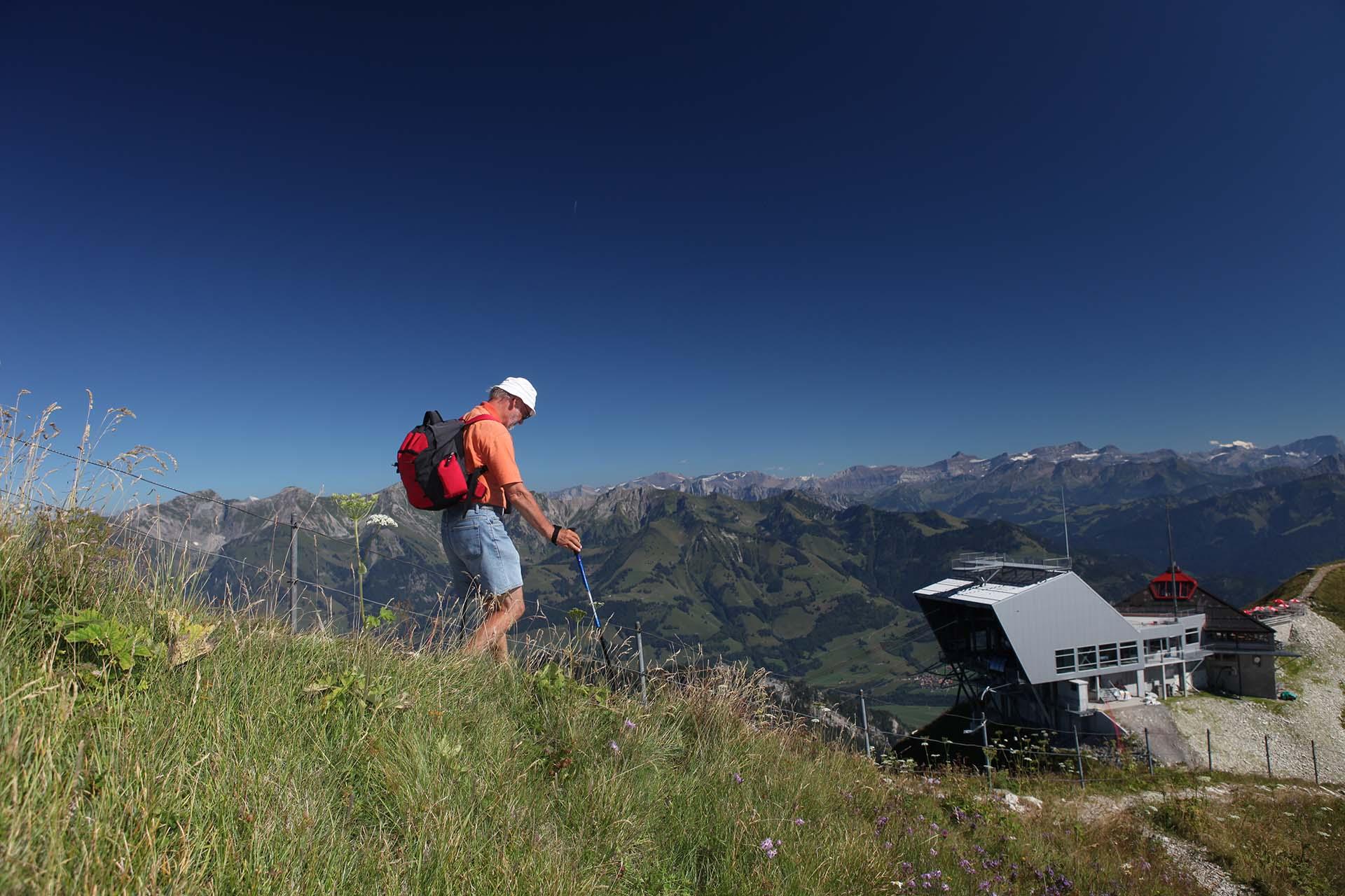
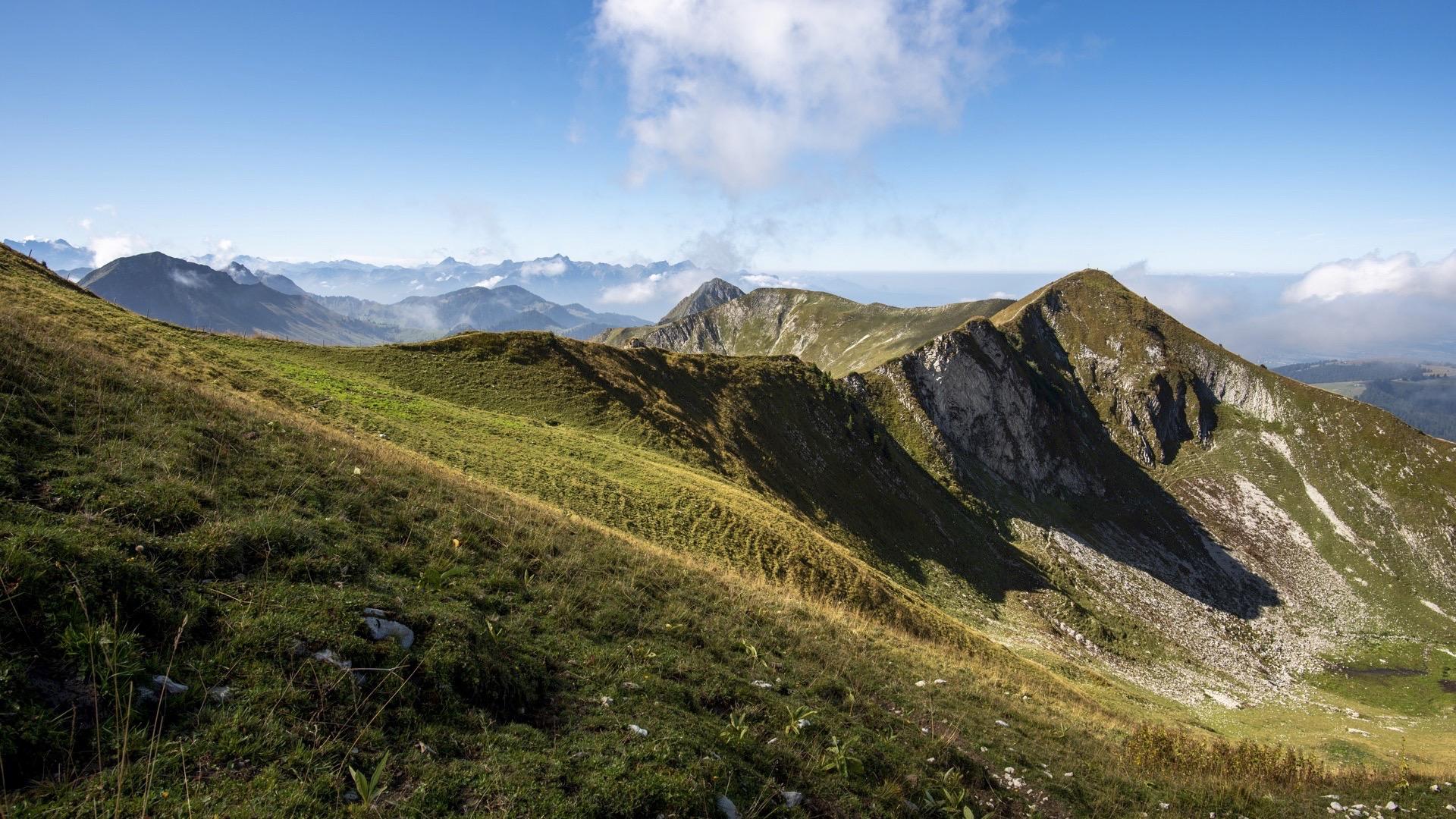
The emblematic mountain of the canton of Fribourg, the Moléson reaches a height of 2002m at its summit. While the climb sounds like a Himalayan exhibition in the first accounts recorded by the Swiss Alpine Club, the walk is perfectly accessible for experienced walkers.
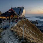
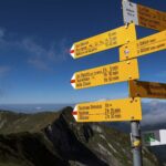
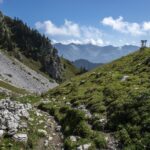
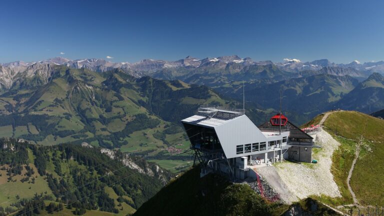
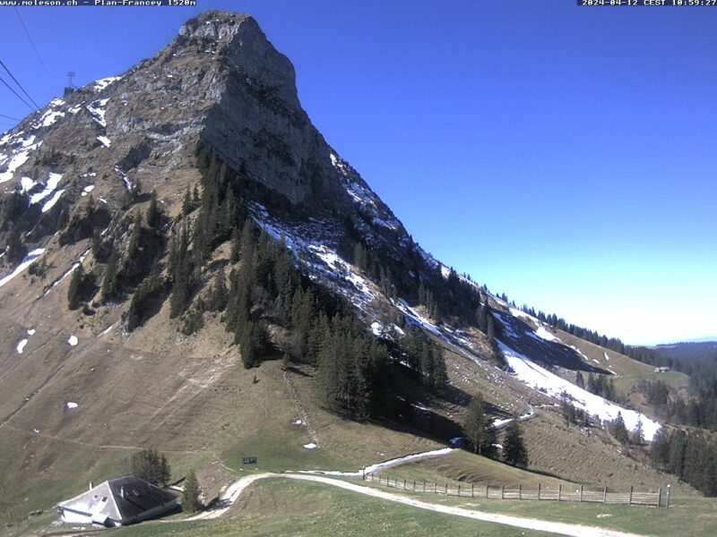
Walk through the village from the main car park and take the path that follows Le Pènî, until you reach the Chalet des Petites-Clés. Then head towards the Petit-Plané, taking the path along the hillside. At this point, you start to climb up to the Moléson, along a well-marked but fairly steep path. The summit is easy to reach from the restaurant and offers a breathtaking view over a large part of French-speaking Switzerland. You will also find one of the iron pyramids that were used to take the first measurements of Switzerland. The descent takes you past two chalets, Tsuatsau Dessus and Gros Moléson. Some sections can be slippery and should be avoided in wet weather. The final part of the route takes you through the pastures and on to the road (suitable for vehicles) from Plan Francey to the car park.
Tip: You can combine your walk with one of the special evenings organised at the restaurant Le Sommet. The cableways are open until 11.00 pm on Fridays and Saturdays during summer.
Accessible by public transport: yes | Nearest bus or train stop: Moléson-sur-Gruyères (funi=^)
Accessible by car: yes
Discover all the hiking trails in La Gruyère.
Information
Office du Tourisme de Moléson
Route du Moléson 228
1663 Moléson-sur-Gruyères
Properties of the itinerarie
Difficulty: Challenging
Duration: 05:00
Distance: 13 km
Loop itinerary
Ascent/Descent: +978m / -978m
Altitude min./max.: 1103m / 1998m


