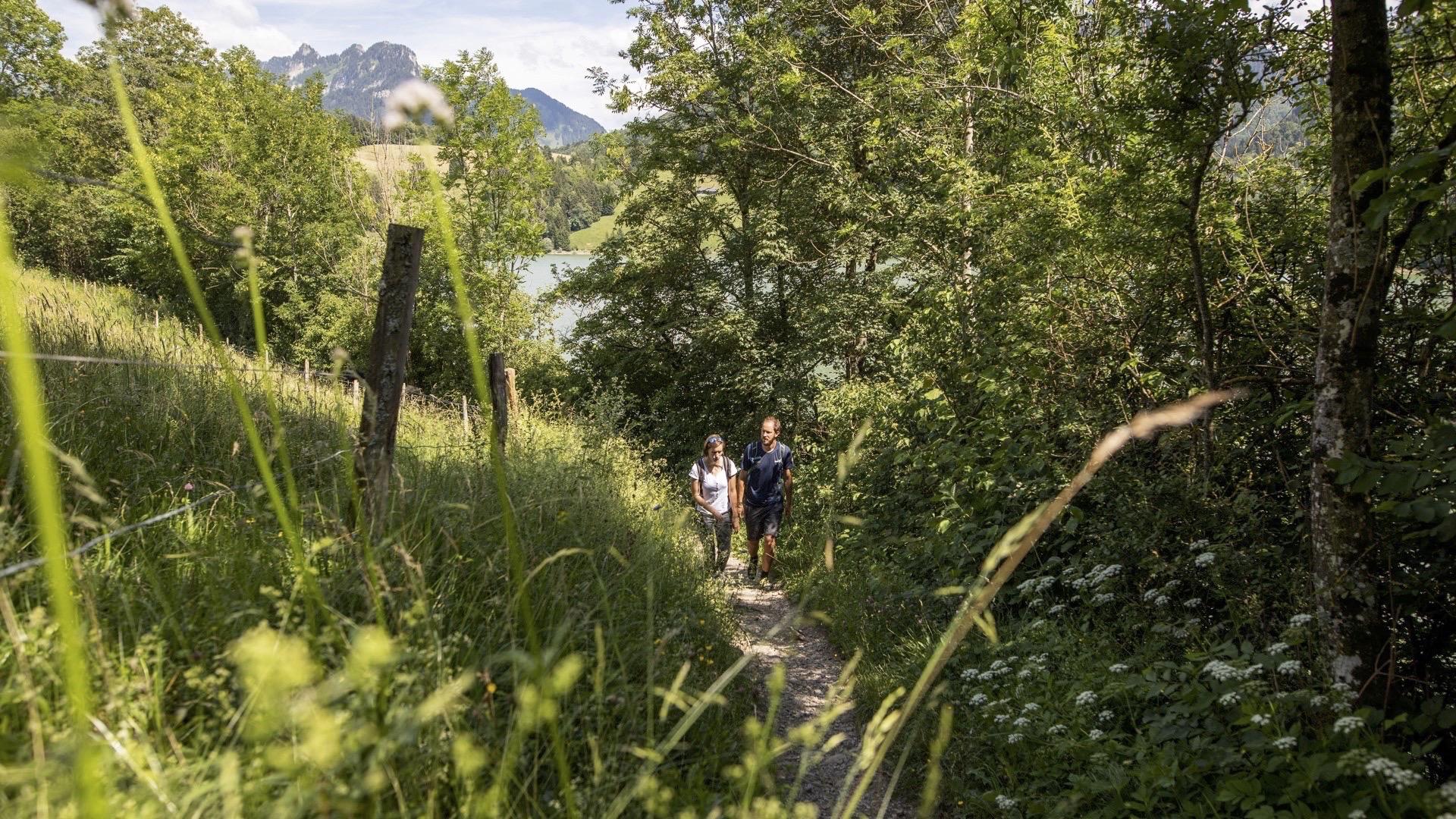
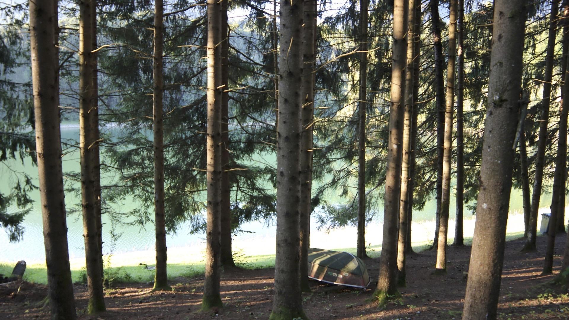
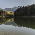
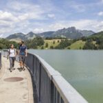
This is an enchanting walk around the man-made Lake Montsalvens, a classic family route that runs between the banks of the lake, the forest floor and the hills, culminating with a stunning view over the Dents Vertes.
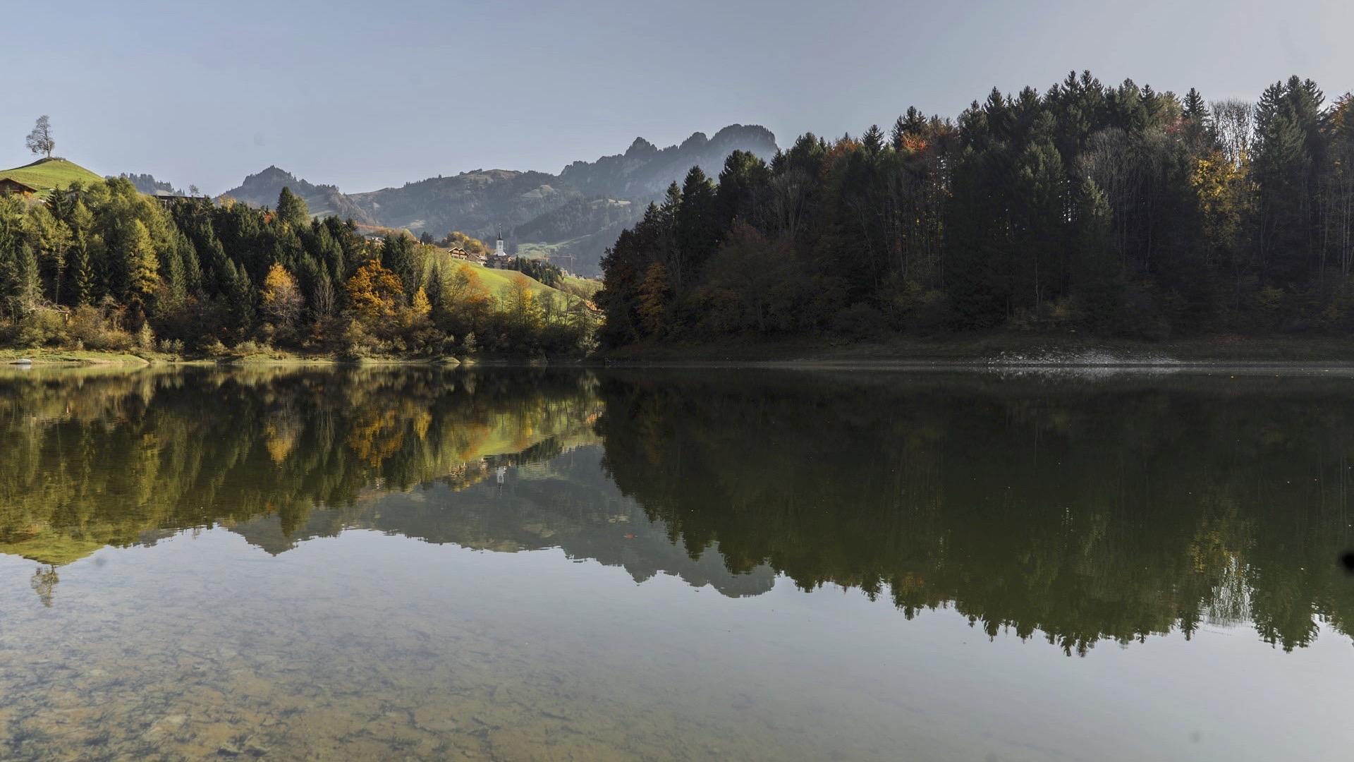
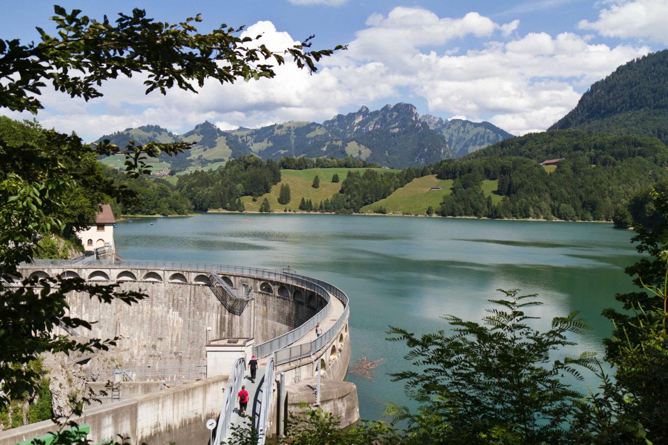
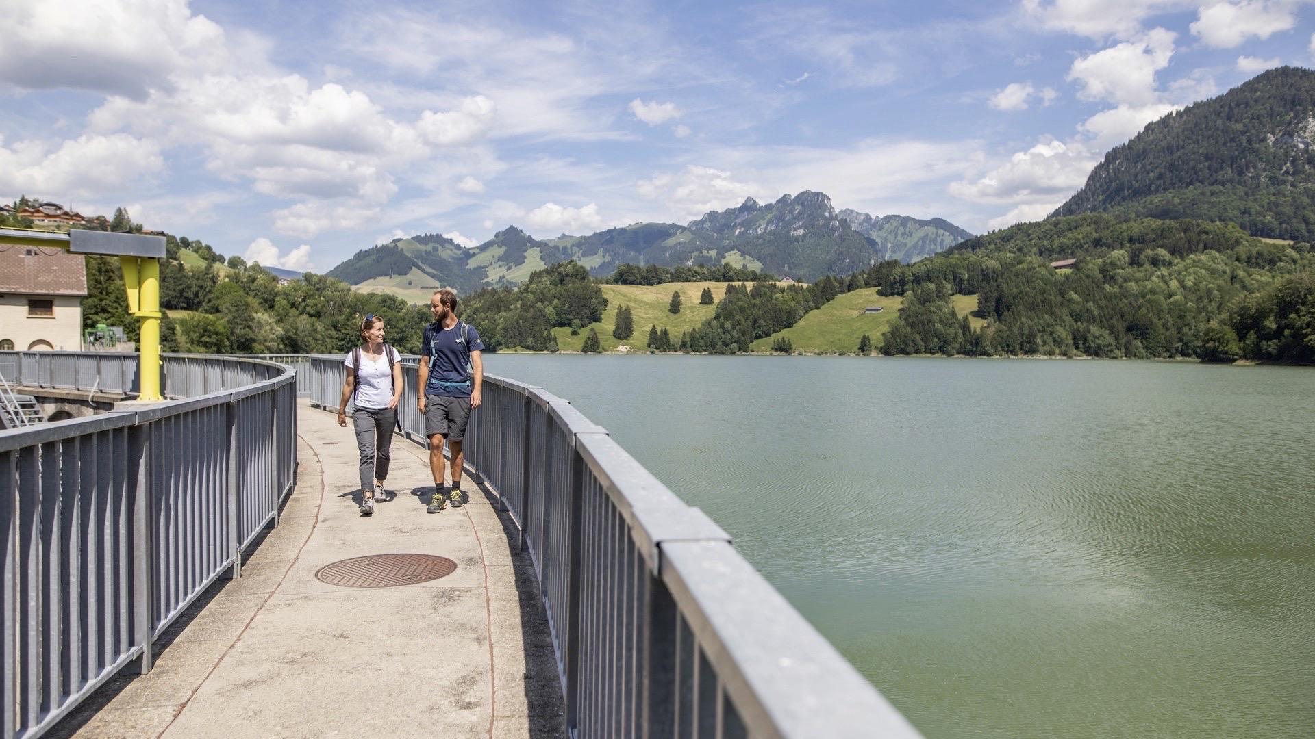
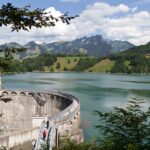
Your route begins on the way to Charmey. Head down towards the peninsula, as far as the bridge that crosses the section of the lake that drains water from the Javro. Continue along the footpath along the banks (which can be slippery if wet weather) until you reach the Montsalvens dam, a magnificent architectural structure dating from 1920-1921. This was the first double-curvature (vertical and horizontal) arch dam in Europe. You may see the Dents Vertes peaks, which rise above Charmey, reflected in the waters of the lake.
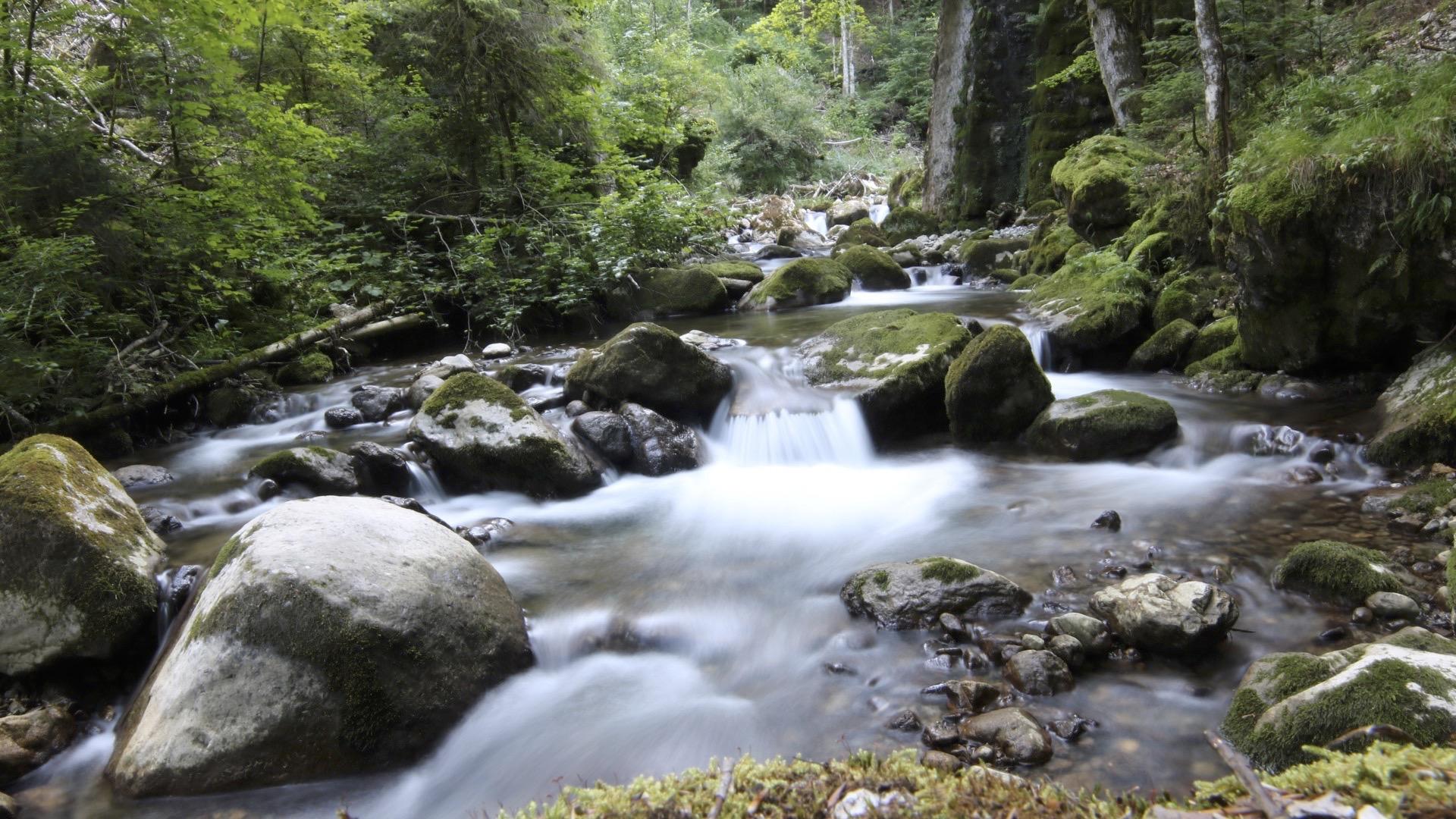
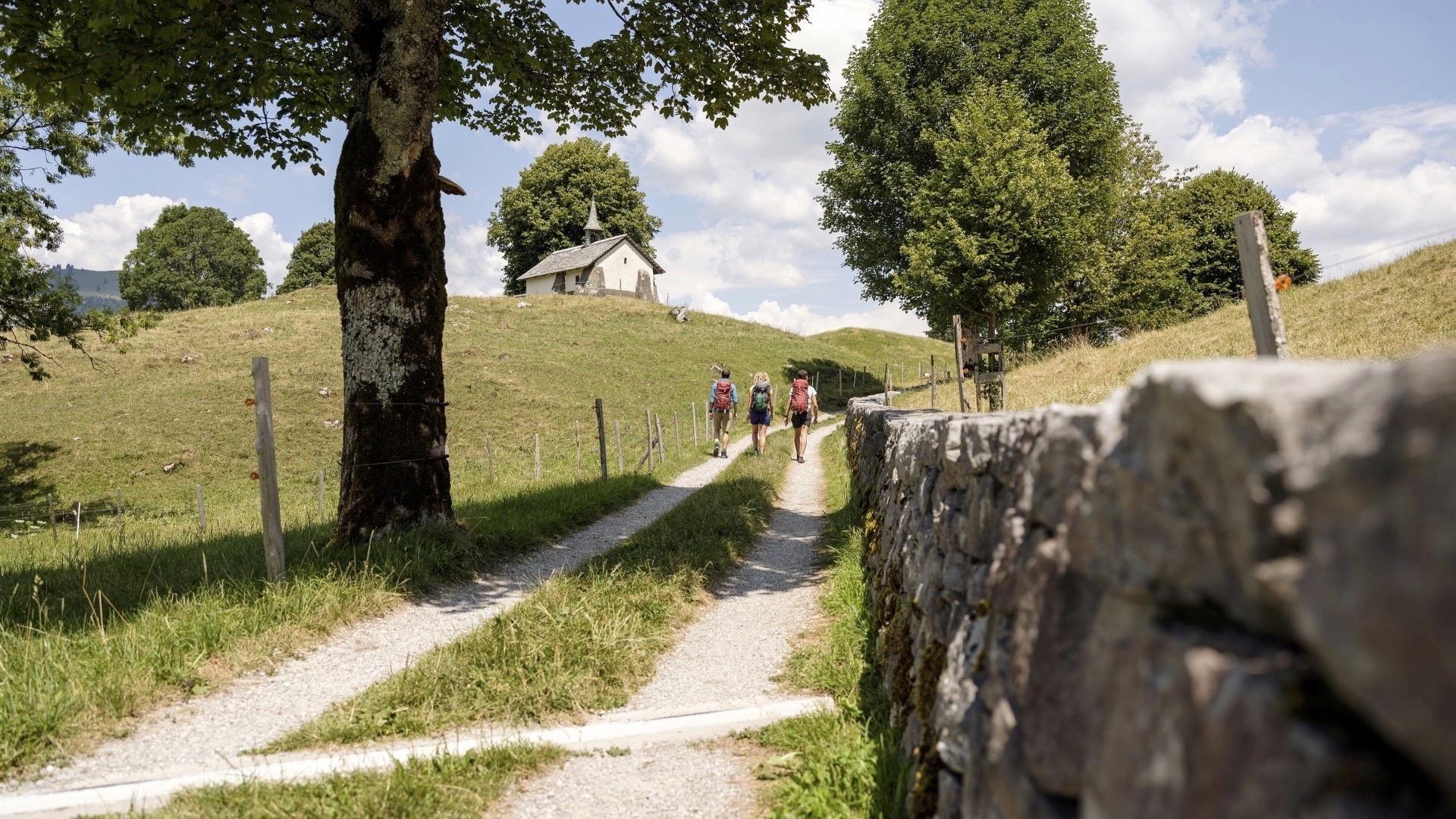
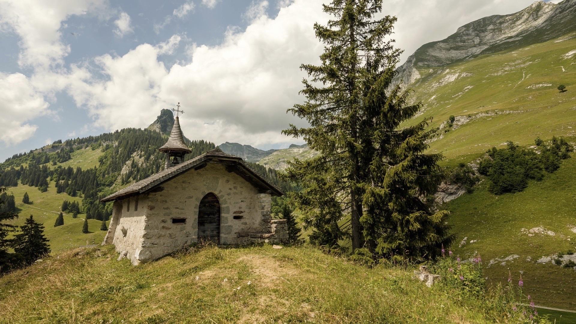
From there, walk back up the southern arm of the lake until you reach the start of the Motélon valley, walking along the river of the same name. Follow the river until you reach the sign for La Monse. Leave the forest briefly and climb up to the chapel, which is four hundred years old. Don’t forget to take a look at the chalet alongside, which is one of the oldest in the canton. The path that takes you to the chalet and the little chapel is bordered by a stone wall listed by Pro Natura. Head back down towards the lake along the path that borders the marshlands and then climb back up to the peninsula.
Tip: after your walk, there’s nothing better than relaxing in the warm waters of the Bains de La Gruyère in Charmey.
Accessible by public transport: yes | Nearest bus or train stop : Châtel-sur-Montsalvens, Rest. or Charmey, Corbettaz
Accessible by car: yes
Discover all the hiking trails in La Gruyère.
Information
La Gruyère Tourisme
Centre commercial Velâdzo (rez inférieur)
Place de la Gare 3
1630 Bulle
Properties of the itinerarie
Difficulty: Easy
Duration: 03:00
Distance: 9 km
Loop itinerary
Ascent/Descent: +319m / -324m
Altitude min./max.: 792m / 982m


