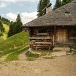
Continue your Trekking Cabin from the Chalet du Soldat to the Cabane Les Marindes at the foot of the Vanil Noir.
DAY 2
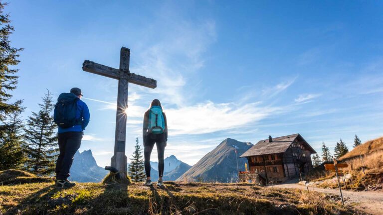
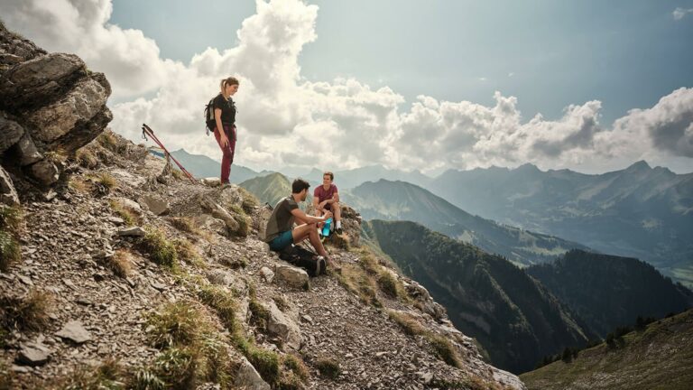
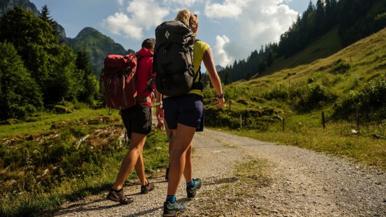
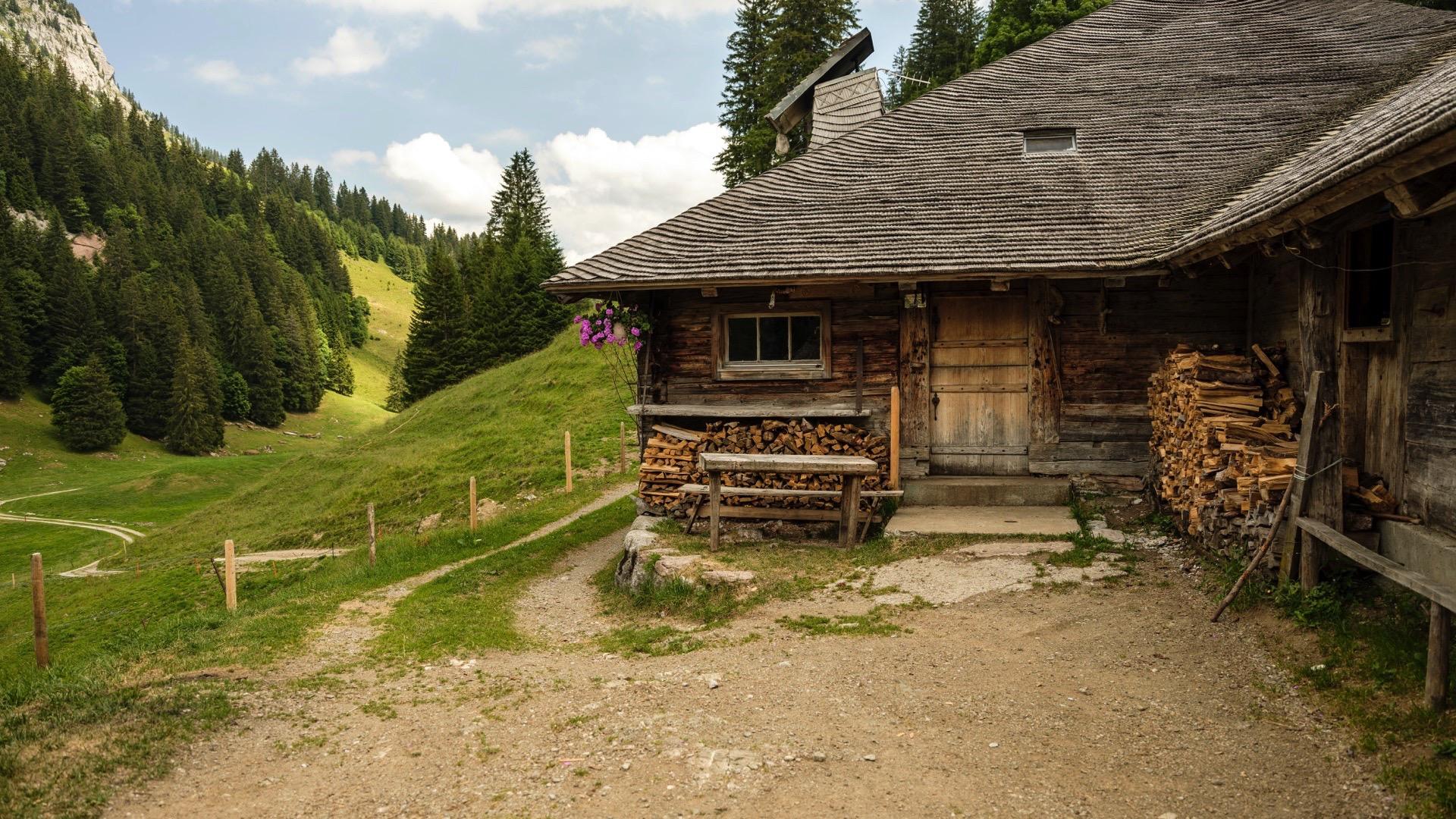
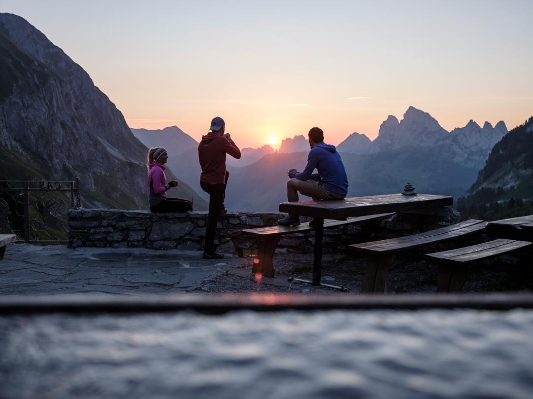
The second day takes you to the Vanil Noir Nature Reserve. The goal: reach the Cabane Les Marindes via Petit Mont and Gros Mont. This former alpine chalet, now a mountain shelter, is tucked away in the Vallon des Morteys, at the foot of Vanil Noir, the highest peak in Fribourg.
This peaceful haven is the perfect place to take in the beauty of the untouched wilderness. The rich flora of the Pre-Alps unfolds before your eyes, and with a bit of luck—and silence—you might spot local wildlife, including marmots and ibex, which rule over this rugged land.
Itinerary:
Chalet du Soldat – Petit Mont – La Gueyre – Haut du Mont – Les Marindes
11.8 km | 4h25 | 875m+ | Moderate
For stage 3 you'll find all the information you need here.
Information
La Gruyère Tourisme
Centre commercial Velâdzo (rez inférieur)
Place de la Gare 3
1630 Bulle


Properties of the itinerarie
Type of activity: Sports
Difficulty: Moderately difficult
Duration: 04:25
Distance: 12 km
Ascent/Descent: +875m / -756m
Altitude min./max.: 1365m / 1868m
Itinerary type
- Scenic hike
- Hike to the summits