


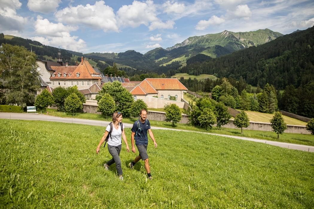
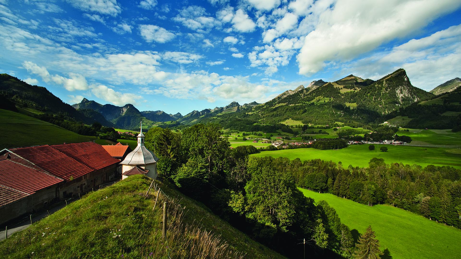
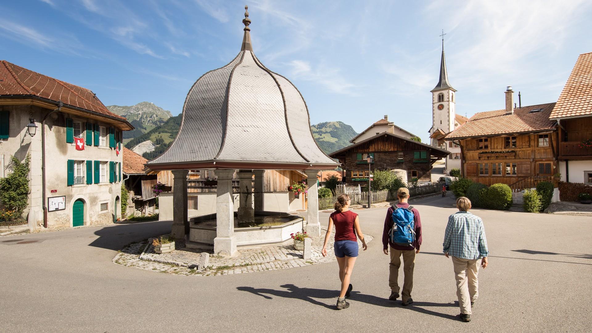
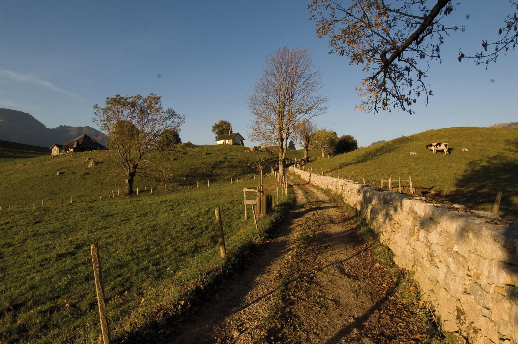
The "Via du fromage" or Cheese Trails leads hikers on an exploration of the cultural and natural riches in the region of La Gruyère.
Leaving the shores of Lake Geneva, traveling to Gruyère and the Pays-d’Enhaut, is to climb the trail followed by men carrying cheese wheels over Jaman pass to Vevey, where the cheese was taken on ships to Geneva and Lyon, depending on the time period and military accords. In Lyon, the French Navy was an important buyer for a long time: on boats crossing the Mediterranean and the Atlantic, Gruyères cheese was an important protein source that would keep for the duration of the journey. From Léman (Lake Geneva) to the Pays-d’Enhaut and the Gruyère region, traveling this trail constitutes a geographic, as well as historical and thematic «return to the well.»
Instructions
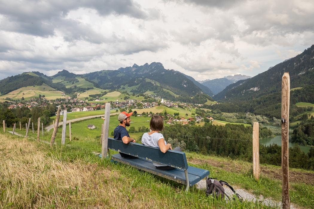
This double itinerary follows old trade routes, notably followed by people transporting cheese via the Col de Jaman (Jaman pass) in the 17th and 18th centuries.
It is divided into stages ranging from one to four hours long walking time. It is possible to access the trail at the beginning and end of each stage with public transportation. The trail is suitable for experienced hikers, families with young children, and causal hikers alike.
App
Available on iPhones and Android, and in three languages (French, German and English) the app Les Vias du fromage (Cheese Trails) offers hikers countless treasures. Besides providing the necessary information for your hike (map, stage descriptions, walking times, etc.), the application is completely geolocalized, this means that it can inform you about your surroundings in realtime. At meal times, suggestions for nearby restaurants appear.
Films on cheese fabrication and the history of the cheese economy, for example the transportation of cheese to trade shows and fairs in France in the 17th and 18th centuries via these same trails, allow you to prolong your experience upon your return home.
This application represents a mine of information, at once an interactive guide, directory of tourist services, and a source of information for local specialities and the region.
Accessible by public transport: yes
Accessible by car: yes
Discover all the hiking trails in La Gruyère.


Properties of the itinerarie
Difficulty: Moderately difficult
Ascent/Descent: +3096m / -3042m
Altitude min./max.: 679m / 1519m
Itinerary type
- Scenic hike


