Region of Fribourg

The tourist region of Fribourg offers you unforgettable experiences... Lake, city or mountains, discover a real land of values!


Fribourg Meeting offers you the possibility to comfortably organize your future seminars or congresses.

Choose a region

La Gruyère
Fribourg
Estavayer-le-Lac
Region
Region
Murtensee
Schwarzsee -
Senseland
Romont Région
Les Paccots
- La Veveyse

What are you looking for?

Choose a region

Welcome to the website of Fribourg Region and its tourist regions. Please select on the map the region you wish to discover and browse through its offers. We wish you a lot of fun!

swiss map
La Gruyere
Fribourg
Estavayer-le-Lac
Region
Région Lac
de Morat
Schwarzsee-
Senseland
Romont
Les Paccots
You are in the region
Search
Newsletter

Nordic Région Gibloux – Purple trail

Properties of the itinerarie

Type of activity: Sports

Difficulty: Very easy

Duration: 01:00

Distance: 3 km

Ascent/Descent: +98m / -98m

Altitude min./max.: 938m / 1032m

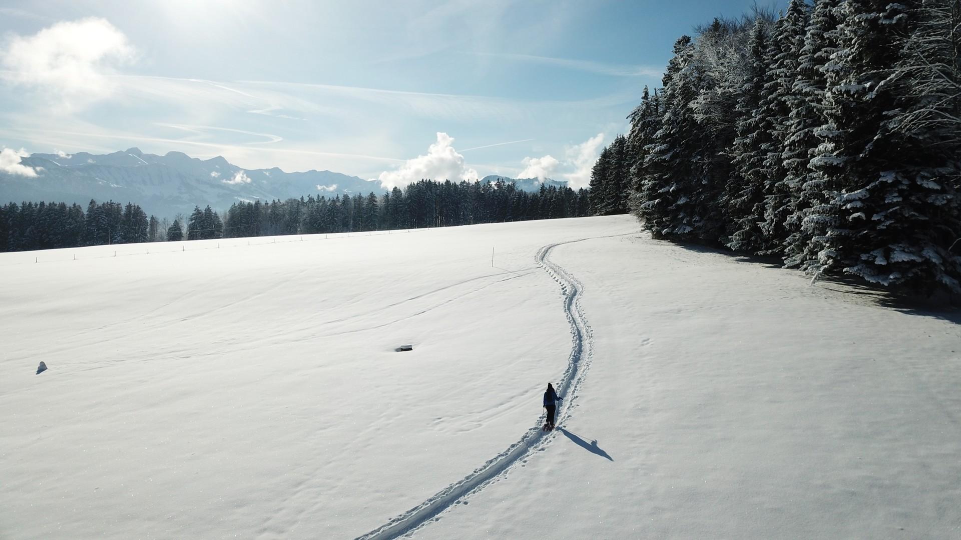
Located on the south face of the Gibloux, our snowshoe trails offer an idyllic setting in winter.

Between peat bogs, pastures and forests, you might think you are in Lapland. The view of the Moléson and the Pre-Alps is there to remind us that we are in Gruyère. Various starting points are accessible by car from Riaz, Marsens, Sorens (TPF Bus) and Maules.

Here, the Sentier Violet is mapped from Petit Prary in Marsens (in red on the PDF).

More connections are possible (in orange on the PDF):
1. Connection Camping de Sorens (1.4 km.)
2. Connection Les Mottes (270 m.)
3. Connection Chalet Neuf à Riaz (800 m.)
4. Connection Maules (1.8 km.)

Find in the "Download files" a complete description of the snowshoe trail to download, print and take with you during your hike.

Information

Frédéric PuginBuvette du Chalet Neuf, Chemin du Chalet Neuf, 1632, Riaz
Frédéric Pugin
Chemin du Chalet Neuf
1632 Riaz

This unprepared itinerary is marked. You take this trail at your own risk.

Properties of the itinerarie

Type of activity: Sports

Difficulty: Very easy

Duration: 01:00

Distance: 3 km

Ascent/Descent: +98m / -98m

Altitude min./max.: 938m / 1032m

Download files

Report an error

More information

We use cookies to provide you with a better experience.

We use cookies to collect and analyse performance information and to enable features for social media, newsletters, competitions, etc. More information about our Data Protection Policy

I accept I refuse