Closed – Logging
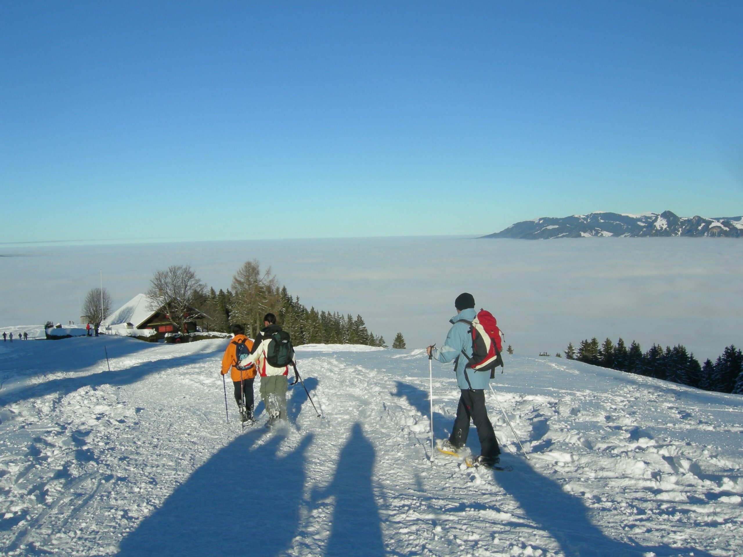
La Chia snowshoe trail on the outskirts of Bulle, the main administrative centre for the district of La Gruyère, offers a refreshing walk in a Pre-Alpine setting with an extraordinary view over the Fribourg Pre-Alps and the Moléson (2,002 m) in the foreground, the Lac de La Gruyère and the Gibloux.
SwitzerlandMobility: route 282
Le Pâquier, Buvette de La Chia - Le Pâquier, Buvette de La Chia
You start the circular route at La Chia, the lowest mountain used for activities in La Gruyère, with a ski tow operated by volunteers.
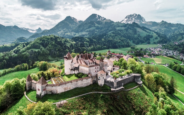
From the car park, follow the signs for walk no. 2, the Petit Tour de La Chia. Head towards the Grosse Oubèca; turning clockwise, you will see first Bulle, the main administrative centre for the district of La Gruyère, the Dent de Broc, the chain of Vanils and finally the Château de Gruyères, the second most-visited chateau in Switzerland after Chillon, which has been open to the public since 1938. The gentle slope is accessible to all and takes you through forests and pastures, with views from the clearings to the typical mountain chalets of La Gruyère, with names that are either poetic or derived from the local patois, such as Pré de la Joux Dessus, La Savarisa or Les Fours-Calabrê. Once you reach the Ou Chimbo chalet, continue up the winding path through the forest towards the summit of La Chia, from where you can look out over the plateau of French-speaking Switzerland.
The descent down the NW slope takes you through pastures and forests as you head towards the Jura. Then walk back to the Buvette des Amis de La Chia for refreshments after an invigorating excursion.
Find in the "Download files" a complete description of the snowshoe trail to download, print and take with you during your hike.
Information
La Gruyère Tourisme
Centre commercial Velâdzo (rez inférieur)
Place de la Gare 3
1630 Bulle
This unprepared itinerary is marked. You take this trail at your own risk.
Properties of the itinerarie
Type of activity: Sports
Difficulty: Moderately difficult
Duration: 03:00
Distance: 5 km
Ascent/Descent: +340m / -340m
Altitude min./max.: 999m / 1321m


