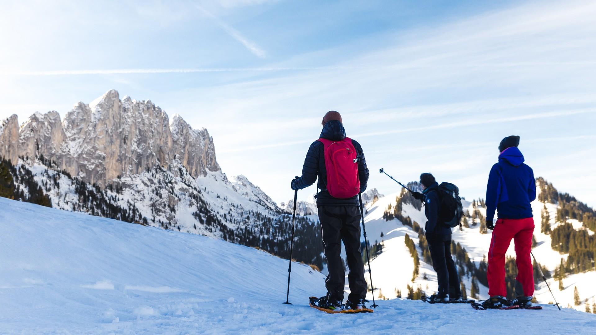
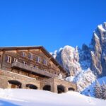
This snowshoe trail runs from the high Musersbergli station to the panoramic viewing area. This is the starting point for a gentle descent, followed by a steady climb through the forest to the Soldatenhaus (soldier’s chalet) at the foot of the impressive Gastlosen mountains.
SwitzerlandMobility: route 273
Musersbergli-Jaun
The Gastlosenexpress will take you up to an altitude of 1,540 metres, plunging you into the heart of the winter landscape with a view over the peaks that overlook the villages of Jaun and Im Fang. The trail starts by winding its way to the panoramic viewing area in the shadow of the Gratflue. It then slopes down gently for almost a kilometre to the toboggan run, and then follows the waymarked trail to the left.
The imposing presence of the Gastlosen chain will accompany you throughout the climb up to the Soldatenhaus. The steep limestone cliffs are also known as the “Swiss Dolomites”. One of the mountains has a hole in it, called the “Grossmutterloch”. According to legend, the devil himself was deeply angry at his grandmother and smashed her against the cliff. The hole is clearly visible from the trail. With a bit of luck, you will have the chance to witness a unique and spectacular light show. For almost half an hour, you will see the sun flashing through the hole at several points on the trail, from the Gross Rüggli to the Unterer Sattel. But a number of conditions have to be met: you must be in the right place at the right time, and above all, you need good weather.
The trail then winds through the mixed forest and continues to slope down to below the Alp Oberer Sattel. The sun then continues its course to where the Soldatenhaus stands. Another magnificent view awaits snowshoe enthusiasts at the foot of the Gastlosen. The Klein Mungtal nestles at its feet. The descent leads down to the toboggan run or the Sommer Wanderweg from the Oberen to the Unteren Sattel. After the Buvette des Sattels, the trail winds through the wood to the village of Jaun.
Download the complete description of the snowshoe trail to print and take with you during your hike.
Difficult trail for experienced hikers (duration 06:00). It is necessary to be well equipped (proper clothing and equipment, sufficient drinks, food,etc.)
Information
Office du Tourisme
Hauptstrasse 381
1656 Jaun
This unprepared itinerary is marked. You take this trail at your own risk.
Difficult trail for experienced hikers (duration 06:00). It is necessary to be well equipped (proper clothing and equipment, sufficient drinks, food,etc.)
Properties of the itinerarie
Difficulty: Very challenging
Duration: 05:45
Distance: 9 km
Ascent/Descent: +529m / -1080m
Altitude min./max.: 1003m / 1753m


