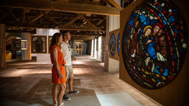

The canton of Fribourg is one of Switzerland’s 13 tourism regions. Among its many advantages are its central location and excellent links to the country’s dense rail and road network. All tourist and economic hotspots are never more than 100 km away from Fribourg!
Visitors are pleasantly surprised at the upside-down nature of the region: the cool Pre-Alpine climate in the South and the warm lake waters in the North. In between lies the canton’s eponymous capital, which serves as a bridge across different languages, cultures and geographical areas.
En español
Datos y cifras
Friburgo es un cantón y también el nombre de la 13ª región turística de Suiza. Gracias a su ubicación central y a sus óptimas conexiones con la densa red ferroviaria y de carreteras de Suiza, la región cuenta con consi¬derables ventajas de ubicación. Todos los centros turísticos y económicos importantes de Suiza se encuentran en un radio de solo 100 km.
Quienes visiten la región de Friburgo encontrarán un mundo agradable¬mente dividido, con las frescas estribaciones de los Alpes en el sur y los cálidos lagos en el norte. Y, justo en el medio de ello, se encuentra la región central con la capital, Friburgo, que como ciudad puente conecta zonas lingüísticas, culturales y geográficas.

Cómo llegar
En transporte público
Conexiones directas en tren y autobús desde Ginebra, Berna, Zúrich y San Galo (± diez horas de Barcelona)
- Enlace ferroviario directo de Berna a Broc-Chocolaterie (Maison Cailler)
- Recorrido en autobús turístico Moléson – Charmey – Jaun – Boltigen sin hacer transbordo
En coche
A1 Berna – Lausana vía Murten o A12 Berna – Vevey vía Friburgo
En avión
Zúrich o Ginebra, en ambos casos, a aproximadamente 1,5 horas en coche o tren de Friburgo
¿Por qué el escudo del cantón de Friburgo es negro en la parte superior y blanco en la inferior?
Cuenta la leyenda que el duque Berthold IV, fundador de la ciudad de Friburgo en Üechtland en 1157, se perdió mientras estaba de cacería en los bosques de la región. Al anochecer, cuando aún no había encontrado el camino a casa, llamó a la puerta de la modesta cabaña de un carbonero cerca de Bourguillon. El carbonero, sin saber con quién estaba tratando, dejó que el duque pasara la noche en su cobertizo. Y el duque, a causa del frío, se cubrió con unas mantas. Pero solo a la mañana siguiente se dio cuenta de que se había cubierto con sacos usados de harina y carbón. Por eso su ropa quedó negra por arriba (carbón) y blanca por abajo (harina).
Geografía
1672,4 km² de extensión
2389 m: la montaña más alta: Vanil Noir
429 m: el punto más bajo: orilla del lago de Neuchâtel
7 distritos con una capital para cada distrito
- Broye, Estavayer-le-Lac
- Glâne, Romont
- Gruyère, Bulle
- Saane, Friburgo
- See, Murten
- Sense, Tafers
- Veveyse, Châtel-St-Denis
Población y religiones
341’537 habitantes
53,8% católicos
11,0% protestantes
25,3% no confesionales
9,0% otras
2 lenguas oficiales
francés y alemán
Varios dialectos: Senslerdeutsch, Jaundeutsch, Patois y Bolz
Senderismo, ciclismo y bicicleta de montaña
1830 km de rutas de senderismo, de las cuales
1599 km de rutas de senderismo (amarillo)
219 km de rutas de montaña (blanco-rojo-blanco)
12 km de rutas alpinas (blanco-azul-blanco).
730 km de rutas ciclistas (incluyendo rutas para bicicleta de montaña) y
270 km de rutas señalizadas para bicicletas de montaña como parte de la red de bicicletas de montaña de Friburgo que se está creando actualmente.
Deportes de invierno
Más de 160 km de pistas de esquí
70 km de pistas de esquí de fondo,
casi 20 km de pistas de trineo y, además,
unos 142 km senderos para raquetas de nieve y rutas de senderismo invernal
Turismo
Más de 1,7 millones de pernoctaciones en 2025,
de las cuales el 47,7% en el sector residencial,
el 30% en la hostelería y
el 22% en la para-hotelería.
El 71,1% de los huéspedes de la región de Friburgo provienen de Suiza,
el 8,8% de Francia y
el 4,9% de Alemania.
Gastronomía
6 productos DOP (productos con denominación de origen protegida): Le Gruyère AOP, Vacherin Fribourgeois AOP, Cuchaule AOP, Poire à Botzi AOP, Jambon de la Borne AOP y Boutefas AOP.
6 platos del menú de Bénichon: Pan Cuchaule AOP con su mostaza de Bénichon; caldo de col; Jambon de la Borne AOP y otras especialidades ahumadas, col, zanahorias y patatas cocidas; pierna de cordero con uvas, peras Poires à Botzi AOP, puré de patatas y judías verdes; merengues con nata doble de La Gruyère; café con dulces de la Bénichon (pan de anís, «bricelets», buñuelos, «cuquettes», hojaldre y pasteles).

Getting here
By public transport
Direct rail and bus links from Geneva, Bern, Zurich and St. Gallen
- direct rail link between Bern and Broc-Chocolaterie (Maison Cailler)
- direct bus route Moléson – Charmey – Jaun – Boltigen
By car
A1 Bern – Lausanne via Murten or A12 Bern – Vevey via Fribourg
By air
Zurich or Geneva, both 1.5 hours away from Fribourg by train or car
Why is the coat of arms of the canton of Fribourg black at the top and white at the bottom?
Legend has it that Duke Berthold IV, who founded the city of Fribourg in Üechtland in 1157, lost his way during a hunting trip in the local forests. When night fell, he knocked on the door of a modest cabin not far from Bourguillon. The charcoal burner who lived there did not recognise the nobleman and allowed him to sleep in his shed. In the middle of the night, the Duke felt cold and covered himself with blankets. When he woke the next morning, he soon realised that it was in fact used coal and flour sacks that had been keeping him warm, leaving the top half of his clothes black, and the bottom half white.
Geography
1,672.4 km² surface area
2,389 m: the highest summit on the Vanil Noir
429 m: the lowest point on the shores of lake Neuchâtel
7 districts with one main town each
- Broye, Estavayer-le-Lac
- Glâne, Romont
- Gruyère, Bulle
- Sarine, Fribourg
- Lake, Murten
- Sense, Tafers
- Veveyse, Châtel-St-Denis
Population and religion
341,537 inhabitants
53.8% roman catholic
11.0% protestant
25.3% none
9.0% other
2 official languages
French and German
Multiple dialects: Senslerdeutsch, Jaundeutsch, Patois and Bolz
Hiking and cycling und Fahrradfahren
1,830 km trails, of which
1,599 km hiking trails (yellow)
219 km mountain trails (white-red-white)
12 km Alpine trails (white-blue-white)
730 km cycling trails (incl. mountain bike trails) and
270 km of signposted mountain bike trails that are part of the Fribourg mountain bike network currently under construction.
Winter sports
Over 160 km ski runs,
70 km cross-country skiing tracks,
Almost 20 km sled runs and
142 km snow-shoeing and winter hiking trails
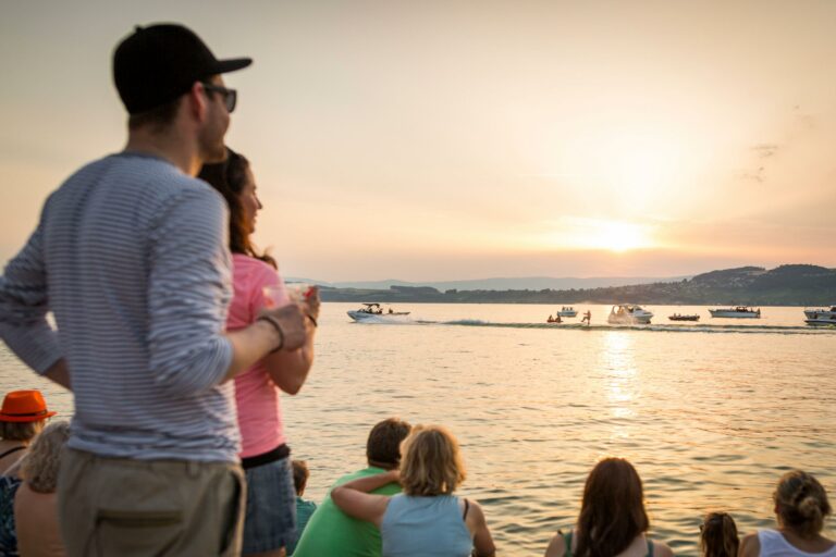
Tourism
More than 1.7 million overnight stays in 2025,
of which 47.7% in the residential sector,
30% in the hotel industry, and
22% in the para-hotel sector.
71.1% of guests in the Fribourg region come from Switzerland,
8.8% from France, and
4.9% from Germany.
Culinary delights
6 AOP products (products with protected designation of origin): Le Gruyère AOP, Vacherin Fribourgeois AOP, Cuchaule AOP, Poire à Botzi AOP, Jambon de la Borne AOP and Boutefas AOP.
6-course Bénichon menu: Cuchaule AOP (saffron brioche) with Bénichon mustard; cabbage soup; Jambon de la Borne AOP, smoked bacon and sausages, cabbage, carrots and boiled potatoes; lamb leg with grapes, Poire à Botzi AOP, mashed potatoes, and green beans; meringues and double cream; coffee with anise biscuits, ‘bricelets’, cuquettes (pastry tarts), croquets with sugar crystals and fritters.