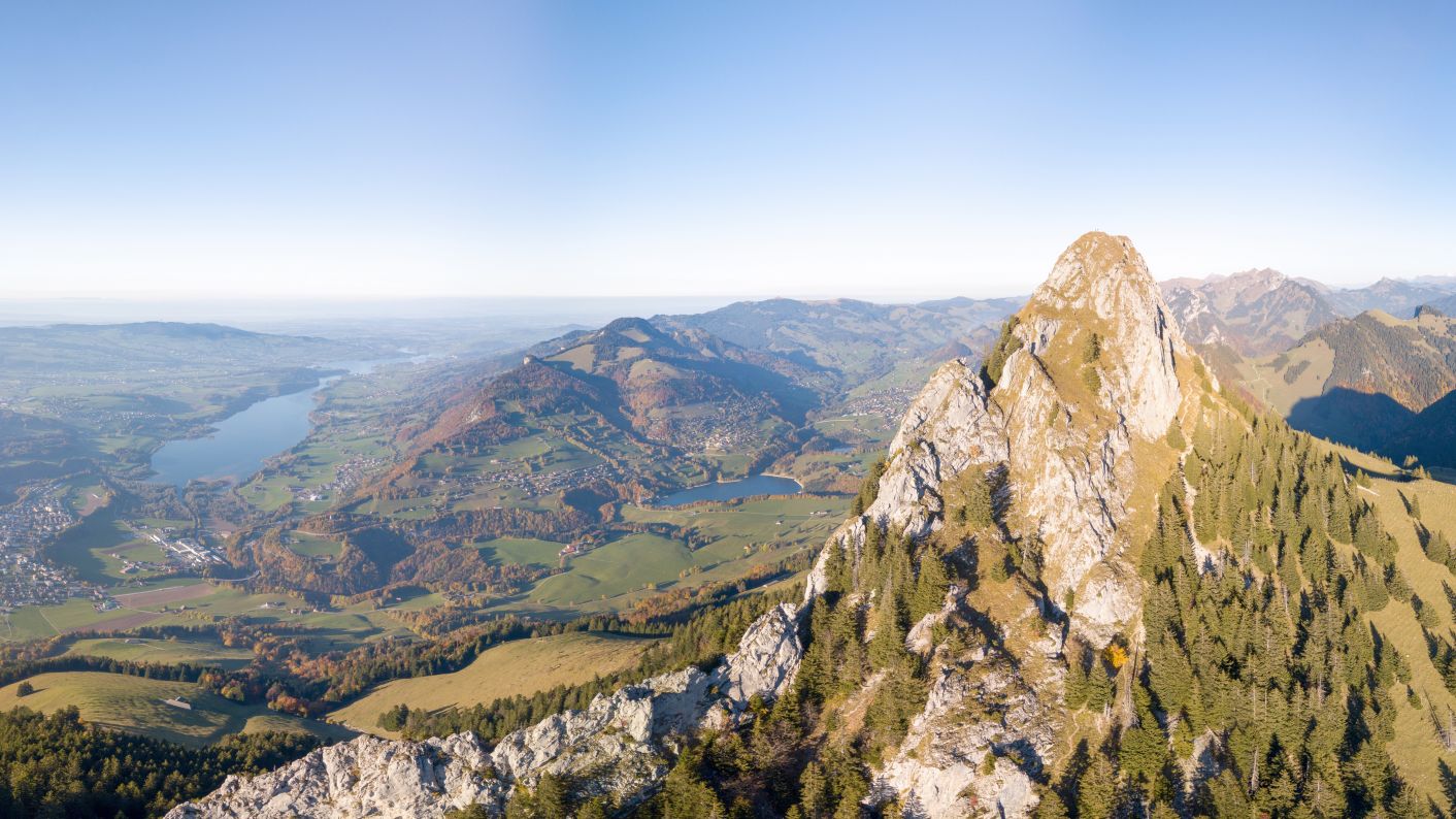
The Dent de Broc gives you a breathtaking view of the Lac de La Gruyère and its region.
Take the opportunity to climb to the top of the Dent de Broc (1829m). The last one is part of the trio of Dents, i.e. Dent de Broc to the north, Dent du Chamois in the middle and Dent du Bourgo to the south. This hike is for experienced walkers who are not afraid of heights. The hike can be started from the car park of the football pitch in Broc or the Gorges de la Jogne. The hike to the summit can also be done as a loop.
You have to follow the Sarine River up to the Pont qui Branle, where the climb to the summit of the Dent de Broc begins. After a short climb, turn right towards the Col des Combes, following the signposts. Go up to the farm Le Châtelet then continue to La Gisetta. Continue through the forest to the chalet of Combes-Dessous. From there, a final steep climb leads below the Chalet des Combes du Milieu. Finally, you reach the chalet of Combes-Dessus.
The path alternates between gentle climbs and steep slopes until the Col des Combes. You have to follow the path to the foot of the rock face of the Dent de Broc. The hike then becomes more difficult, so stay alert, it's important to be careful where you put your feet. A contour must be made to join the East face, this last one is vertiginous. For the last 50 metres, your hands will be useful to climb the rocky corridor to the summit ridge.
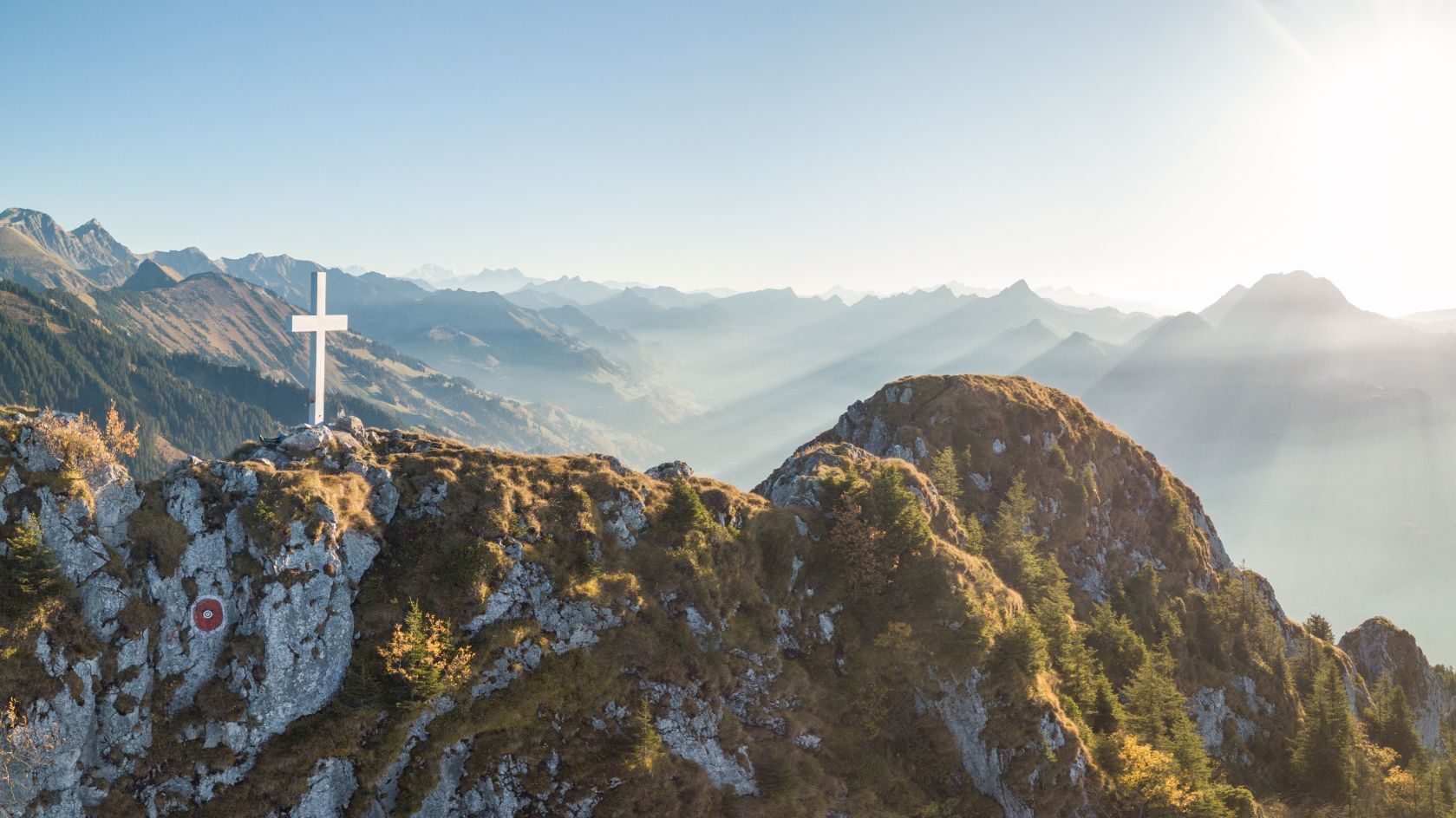
At the top of the Dent de Broc, you are be able to enjoy a 360° view of the Lac de La Gruyère, the roofs of the houses in Broc or Bulle, but also other summits such as Le Moléson, the Vanil Noir or the Dent du Chamois. You will find the summit cross at 1829m.
The descent must be made with the same caution, turning back to the foot of the rock face of the Dent de Broc by the cliff towards the Col des Combes. A path emerges towards the Chalet Les Matseru, then the Chalet Groins-Dessus. Then follow the road downhill to reach Le Motélon.
It is possible to follow Le Motélon and go along the Lake of Montsalvens, then Les Gorges de la Jogne to reach the village of Broc.
We remind you once again that this route requires a minimum of experience in mountain walking, as some places are very steep.
Recommendations: Very steep at the top, you have to use your hands to climb. You should not be afraid of heights. Take a pair of poles with you. Loop possible.
Accessible by public transport: yes | Nearest stop: Broc, village or Broc, Le Home
Accessible by car: yes, parking at the Broc football pitch or parking at the Gorges de la Jogne
Discover all the hikes in Gruyère.
Properties of the itinerarie
Difficulty: Very challenging
Duration: 06:40
Distance: 18 km
Ascent/Descent: +1256m / -1231m
Altitude min./max.: 685m / 1820m


