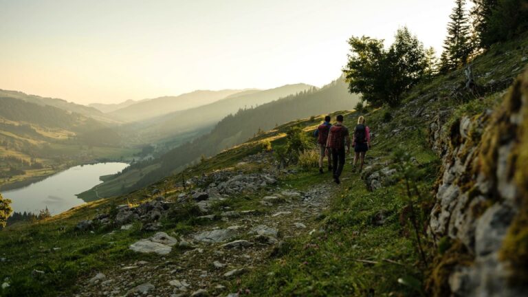
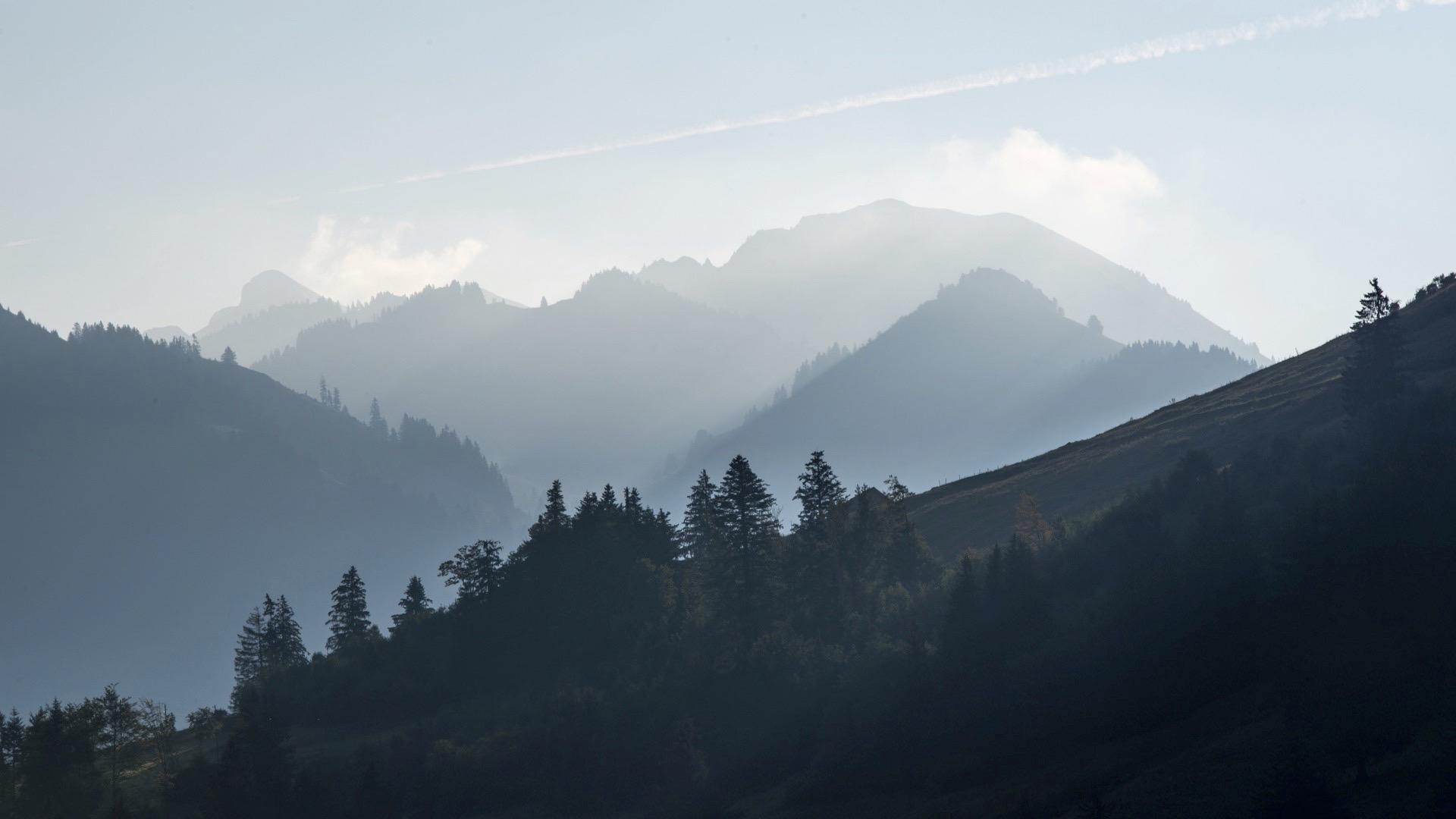
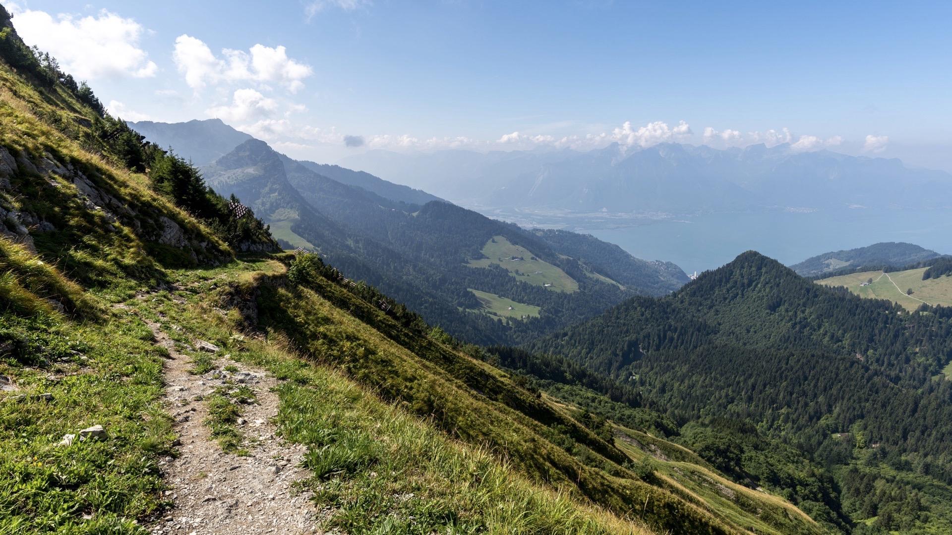
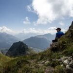
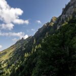
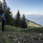
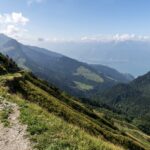
This stage is the only one on the Grand Tour des Vanils to offer a magnificent glimpse of Lake Geneva, from the Col de Jaman, and along the slopes of the Cape au Moine.
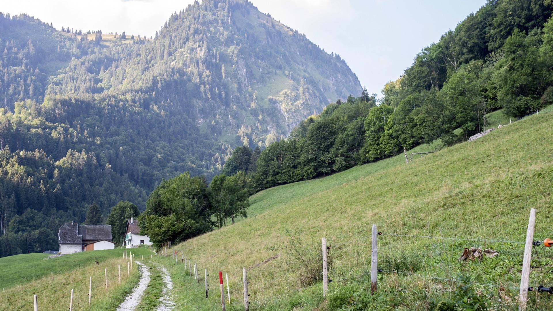
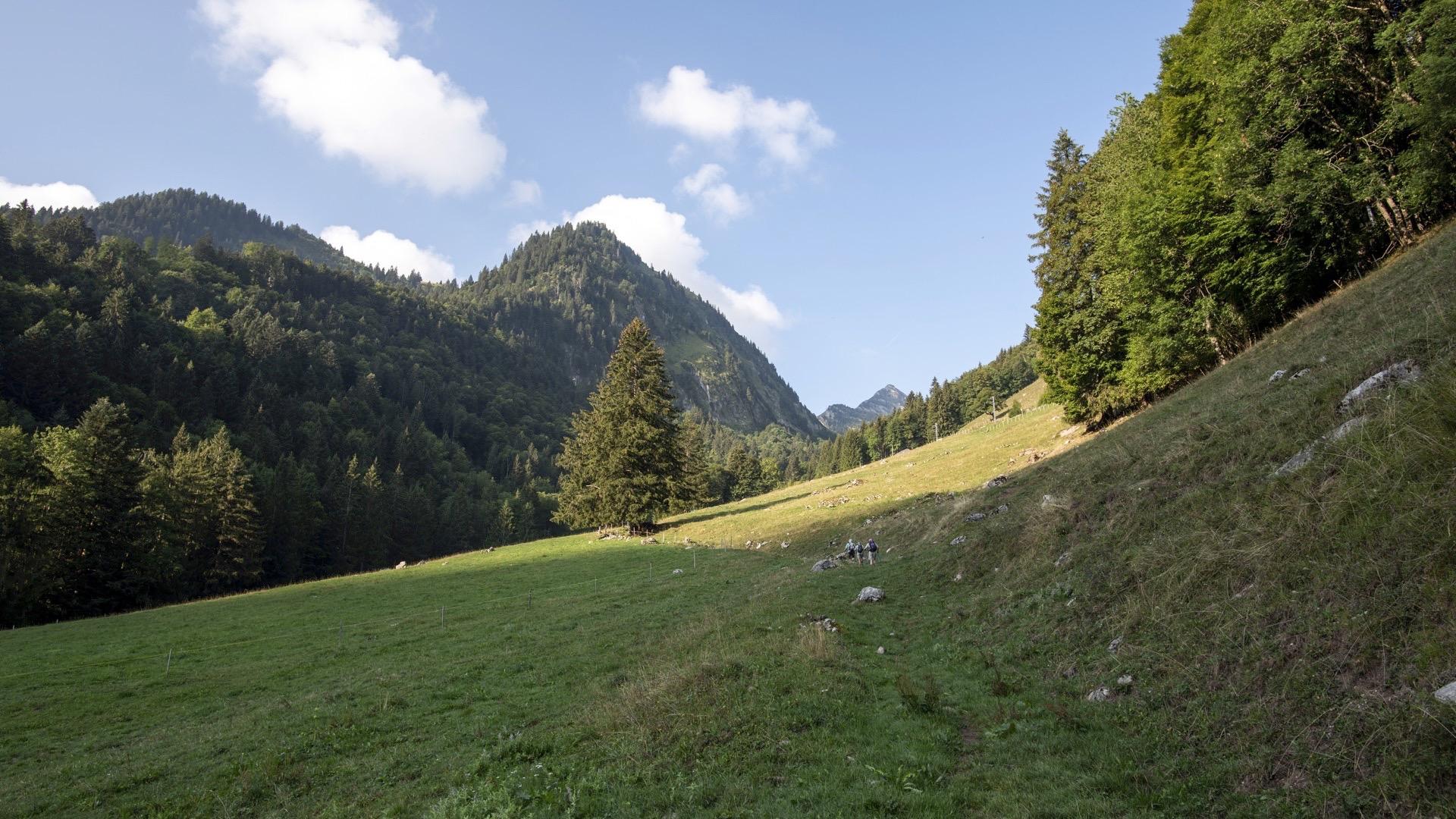
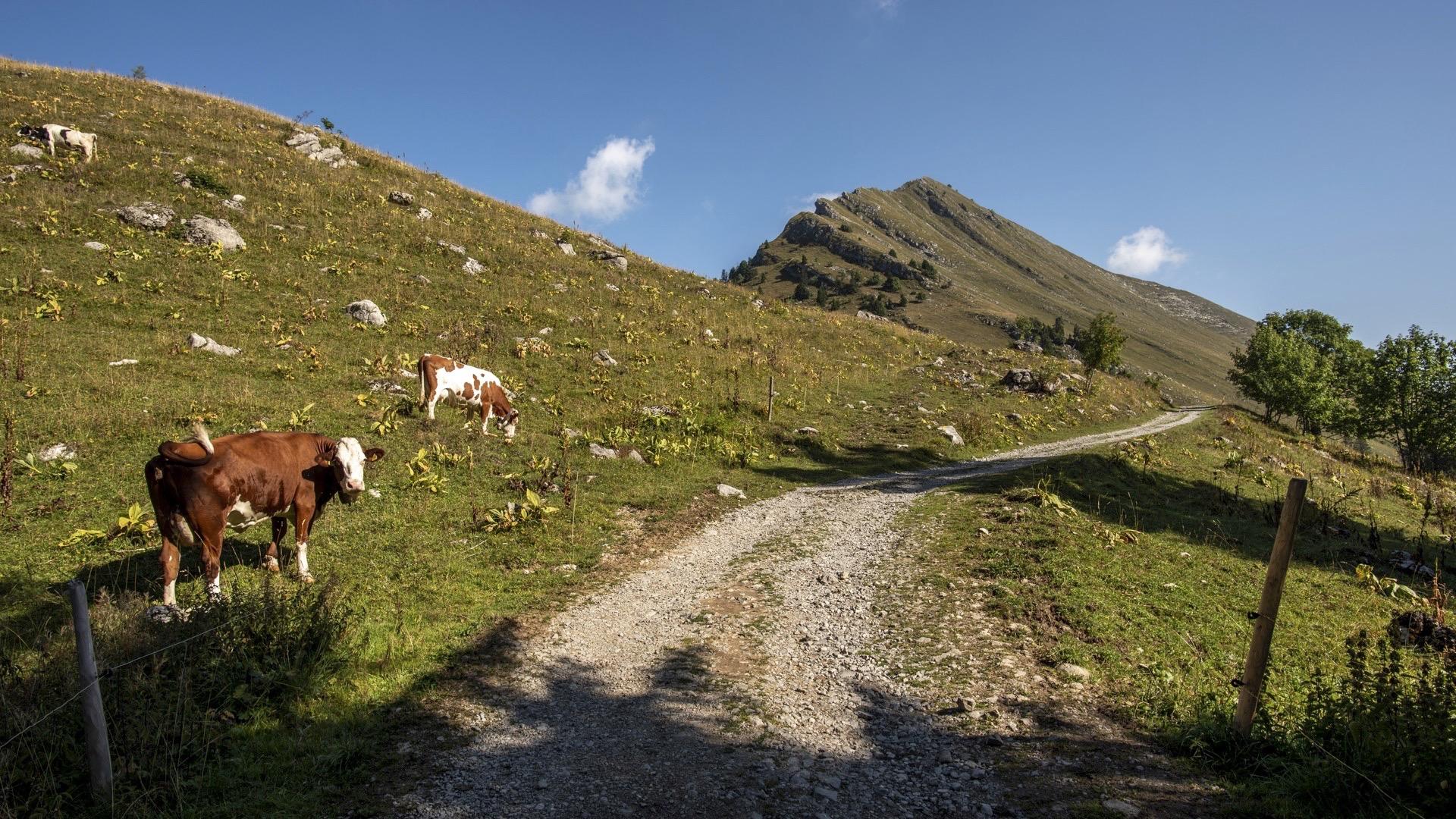
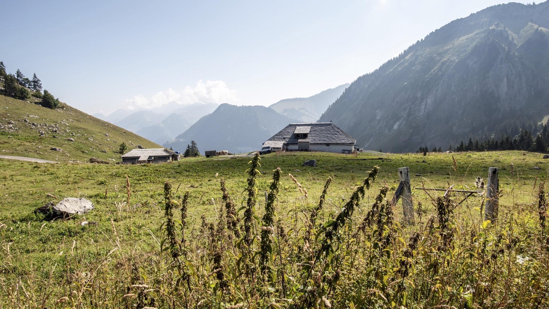
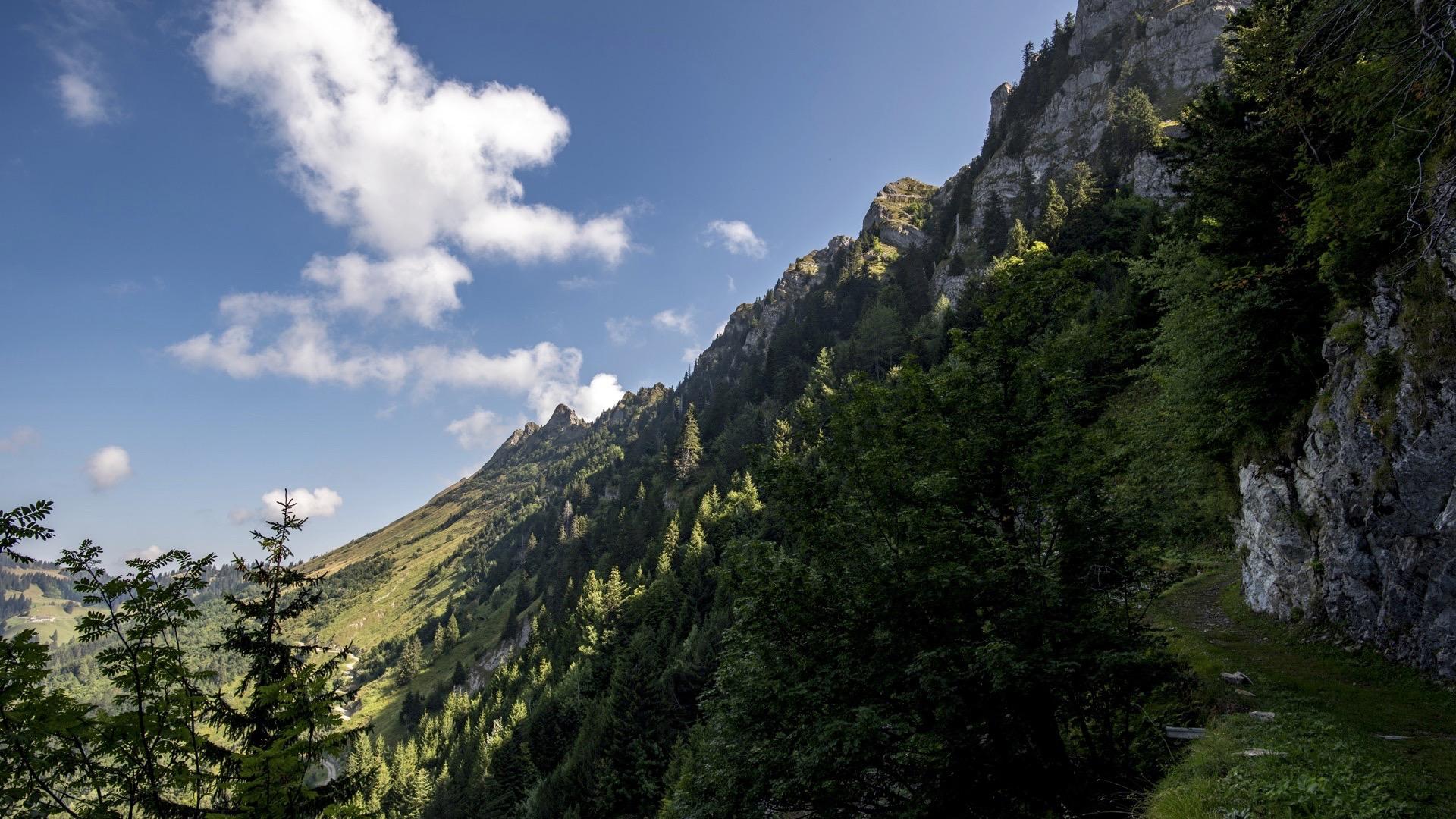
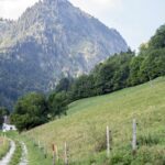
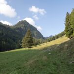
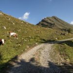
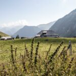
Starting in Allières, the path heads towards the Col de Jaman, following the Cases stream. At the pass, it continues due north and runs along the crest of Les Verraux, emerging beneath the Cape au Moine and heading down to the bottom of the Pierra Perchia dry valley. The path then continues to the Orgevaux mountain pasture, passing through the locality of Urqui. The itinerary then follows the tarmacked road for around 150 m until it forks onto a path to the right and then rejoins the road for another 400 m. At the hairpin bend, the path turns away from the road and heads towards the Motélon d’Avau, Mâjons and Gissettes pastures. It crosses the charming valley and the Le Flon stream until it reaches the Sciernes-d’Albeuve and continues to Montbovon, via the hamlet of La Comba d’Avau.
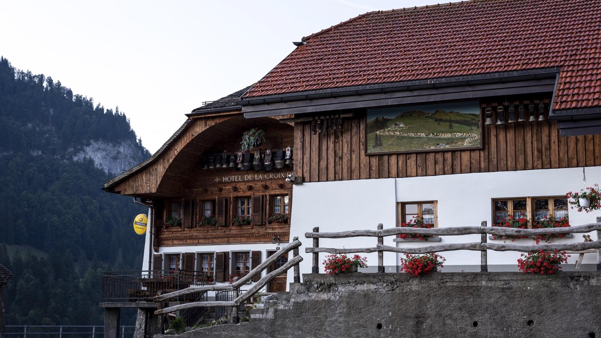
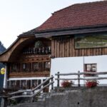
Tip: at the Jaman Pass, do not forget the Jaman cheesery and offer you a break in the restaurant Le Manoir
Accessible by public transport: yes | Nearest bus or train stop : Montbovon, gare / Allières, gare
Accessible by car: yes
Discover all the hiking trails in La Gruyère.


Properties of the itinerarie
Difficulty: Challenging
Duration: 06:00
Distance: 18 km
Ascent/Descent: +1202m / -1413m
Altitude min./max.: 797m / 1856m
Itinerary type
- Scenic hike
- Hike to the summits