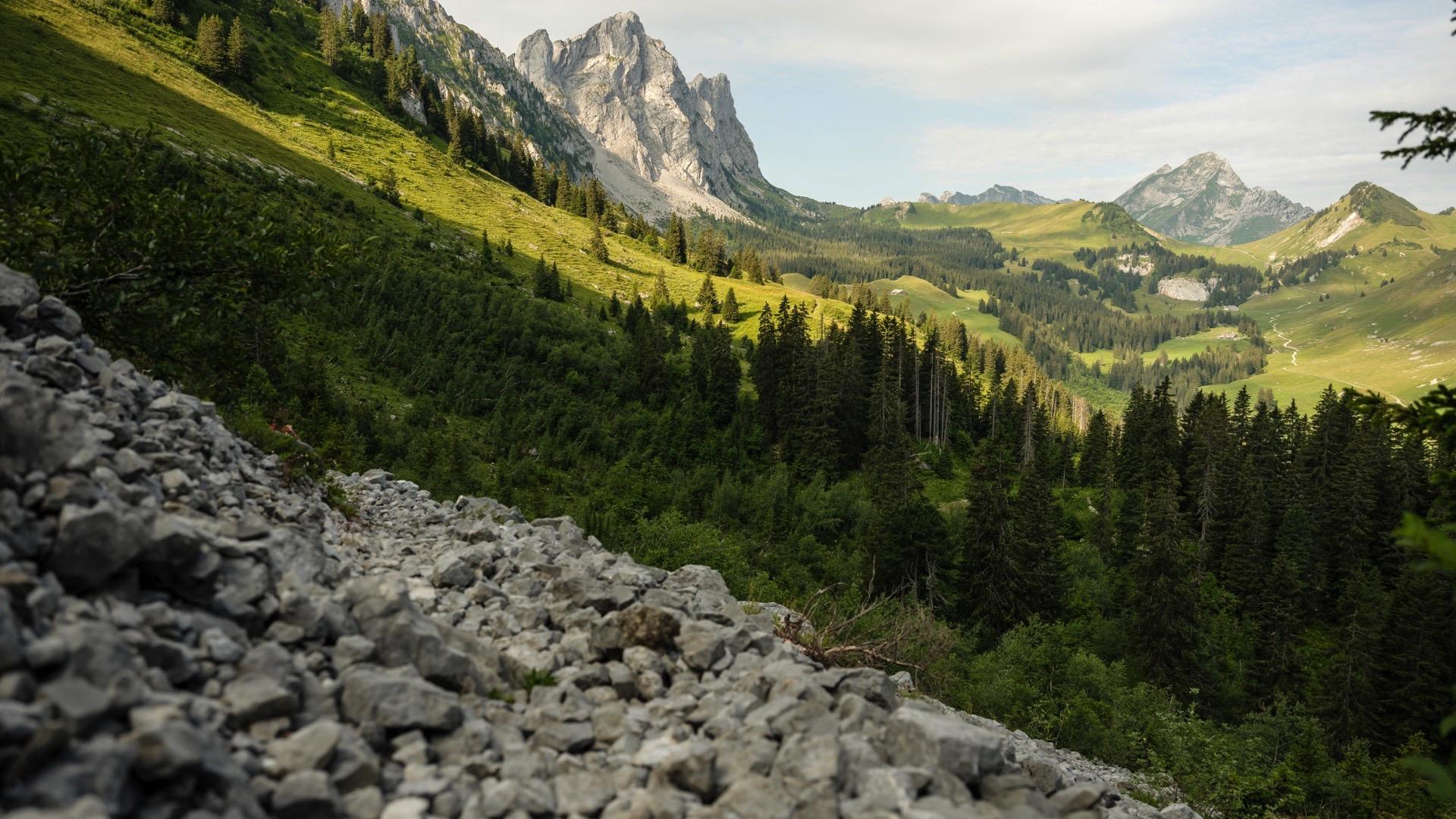
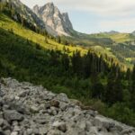
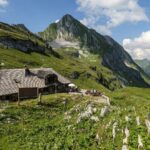
This stage features a series of Pre-Alpine landscapes through the Petit Mont and Gros Mont valleys between the Hochmatt and the Dent de Ruth. The final climb is in the Morteys valley (ProNatura reserve), facing the Vanil Noir. A diverse and dazzling array of flora reflects the quality of the environment.
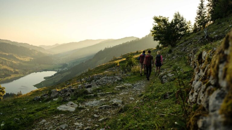
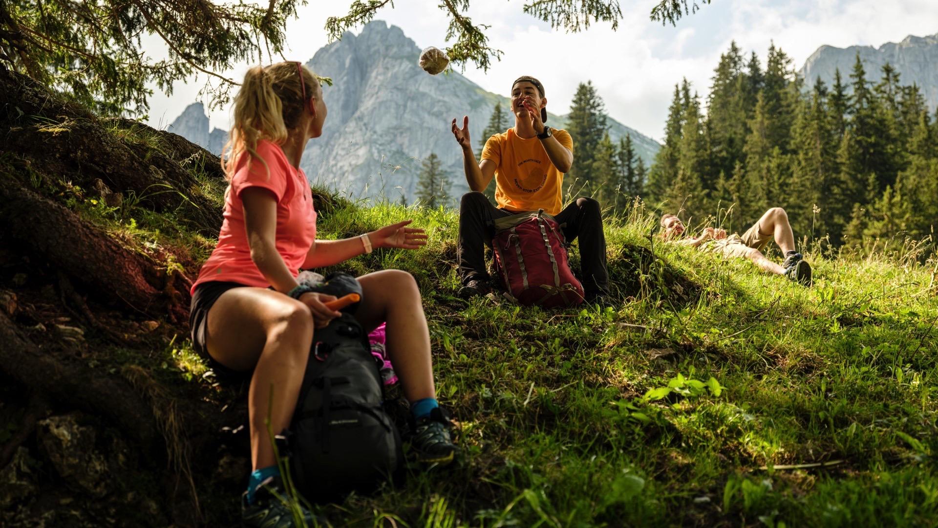
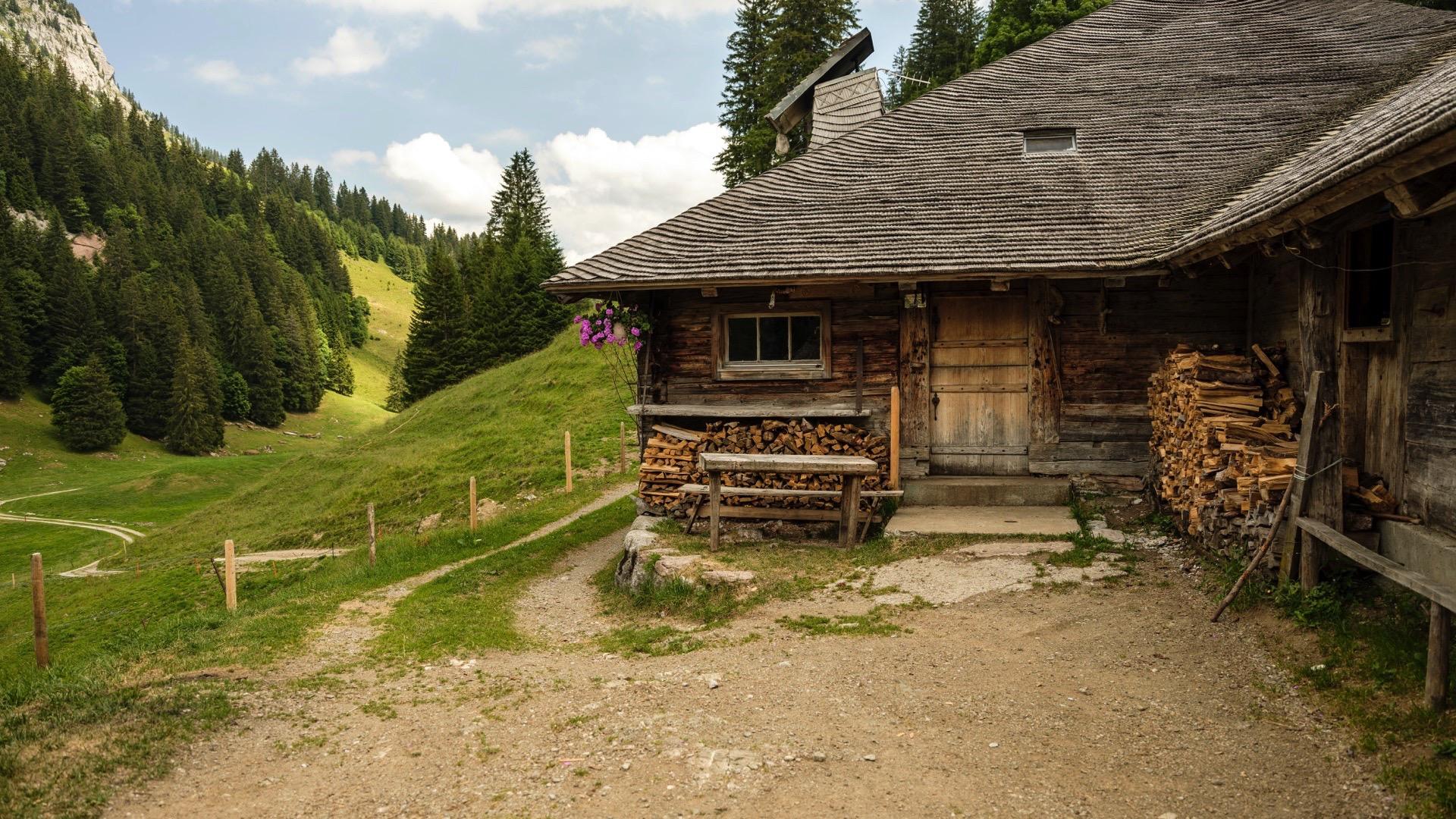
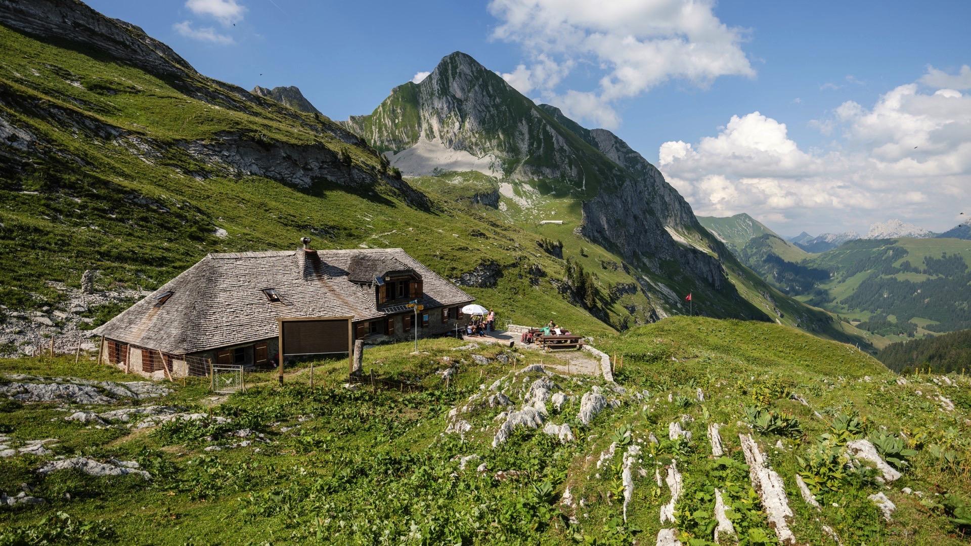
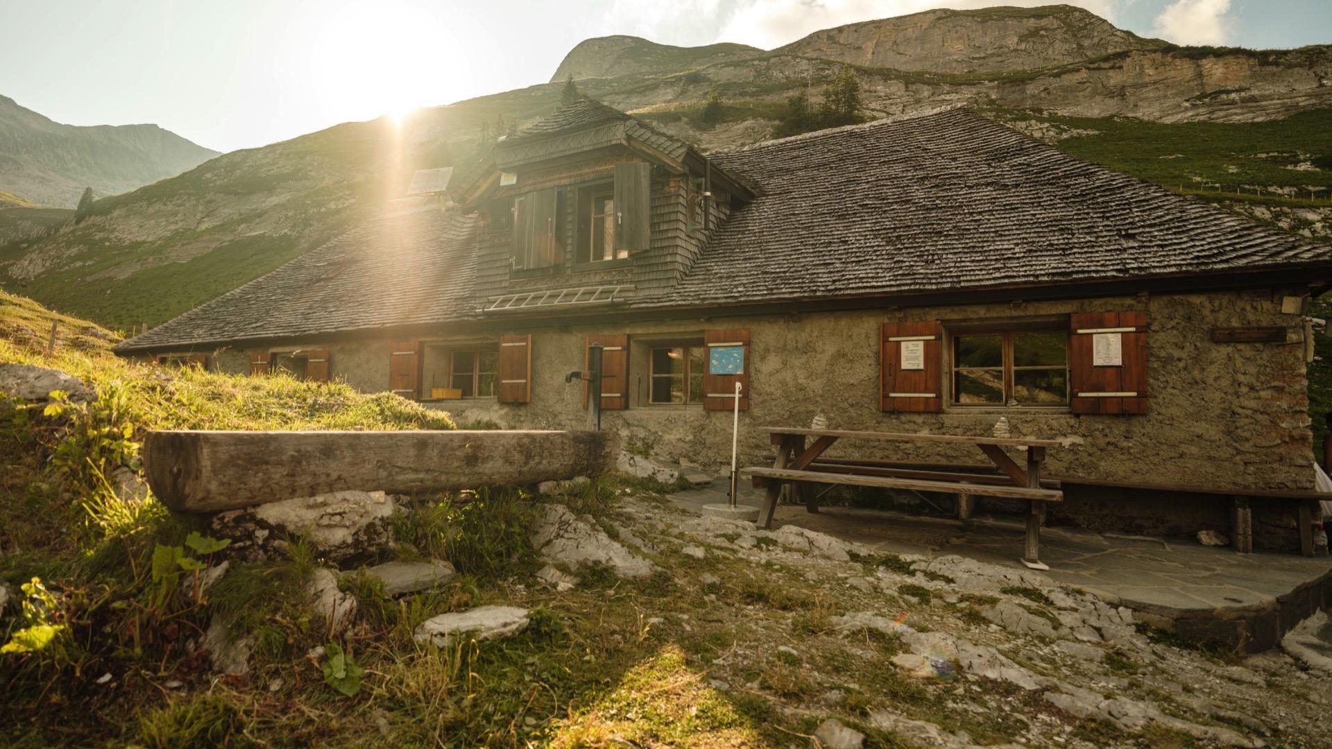
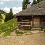
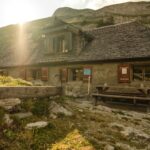
Starting at the Chalet du Soldat, take the path towards the south to the Stierenritz pasture, at the foot of the Wandflue. Then head down into the Petit Mont valley, passing by the very special Le Lapé forest. Leaving the Fregima pasture in Tena on the left at point 1543, the path leads quietly to the Chalet de La Gueyre. Then head down to the Riau du Gros Mont, towards the bottom of the valley of the same name. After two kilometres of walking on the flat, climb into the Morteys valley as far as the Marrindes hut, at the foot of the Vanil Noir. Once you arrive at the Marindes hut (booking compulsory), you are in an ideal place to observe chamois, ibex and marmots.
Tip: the binoculars are recommanded as the fauna and flora are so important in the Pro Natura reserve.
The many summits with panoramic views: Wandflue, Dent de Ruth, Dent de Brenleire and Vanil Noir
Accessible by public transport:
Chalet du Soldat: no access by public transport. Closest stops:Im Fang/La Villette (via the Petit Mont) or Jaun. Part of the route, from Jaun to the Chalet du Soldat, can be done using the cableways.
Marindes hut: no access by public transport. We recommend that you complete the next stage on the Grand Tour des Vanils for access to public transport: Les Marindes – Château-d’Oex (https://gruyerepaysdenhaut.ch/index.php/lien/49-offres-du-parc/grand-tour/les-etapes/112-cabane-des-marrindes-chateau-d-oex )$
Accessible by car: no
Discover all the hiking trails in La Gruyère.


Properties of the itinerarie
Difficulty: Challenging
Duration: 04:30
Distance: 12 km
Ascent/Descent: +815m / -699m
Altitude min./max.: 1365m / 1868m
Itinerary type
- Scenic hike