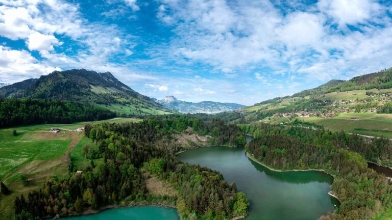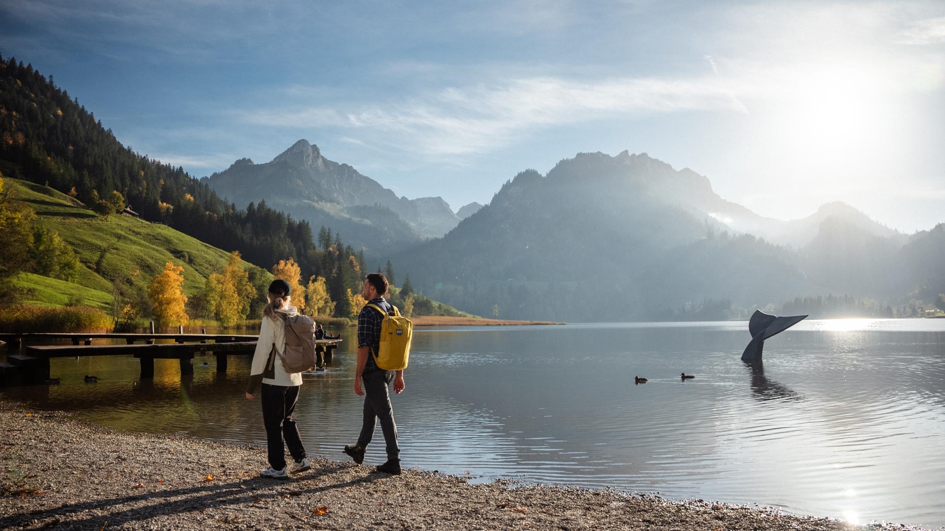
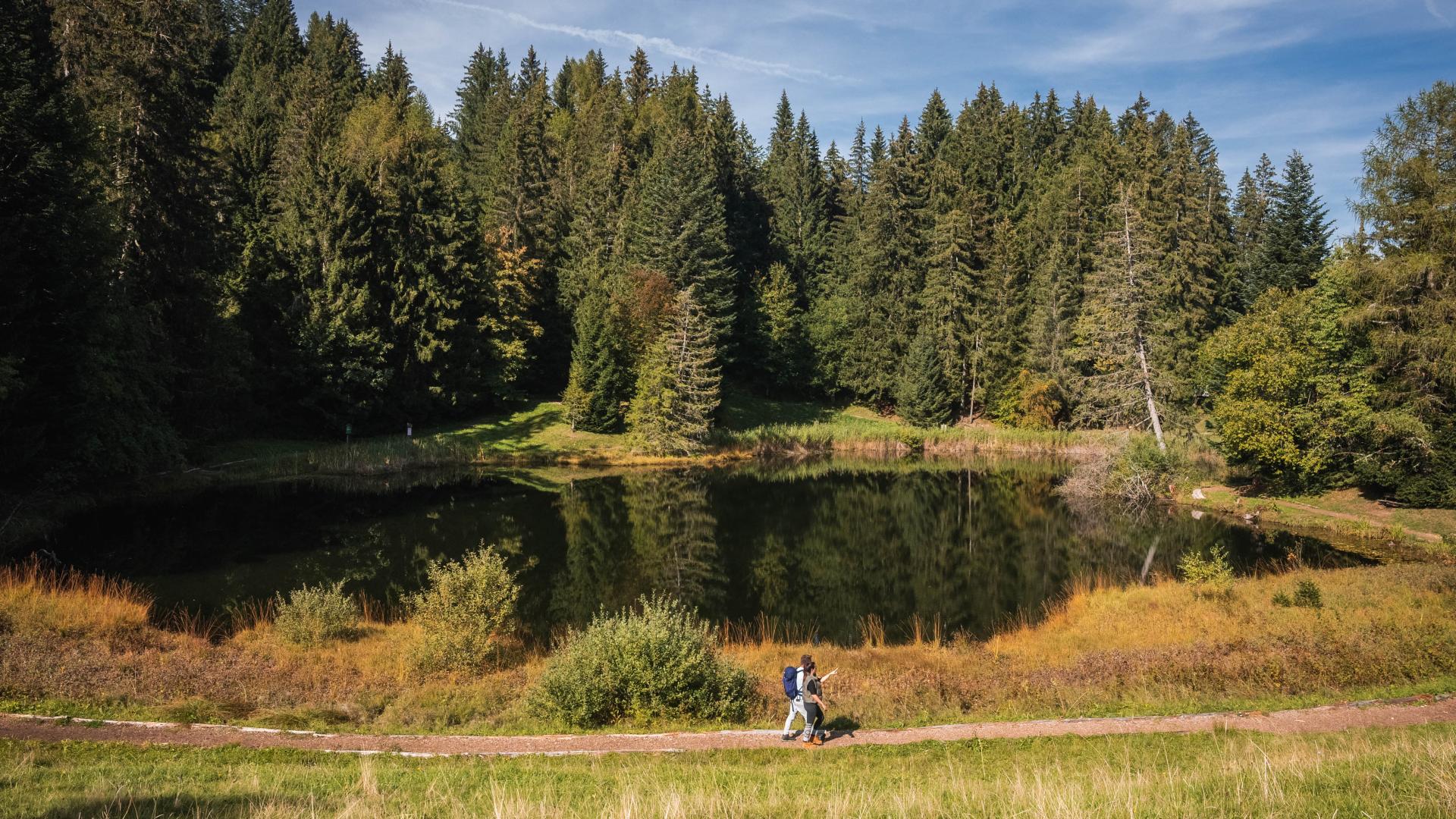


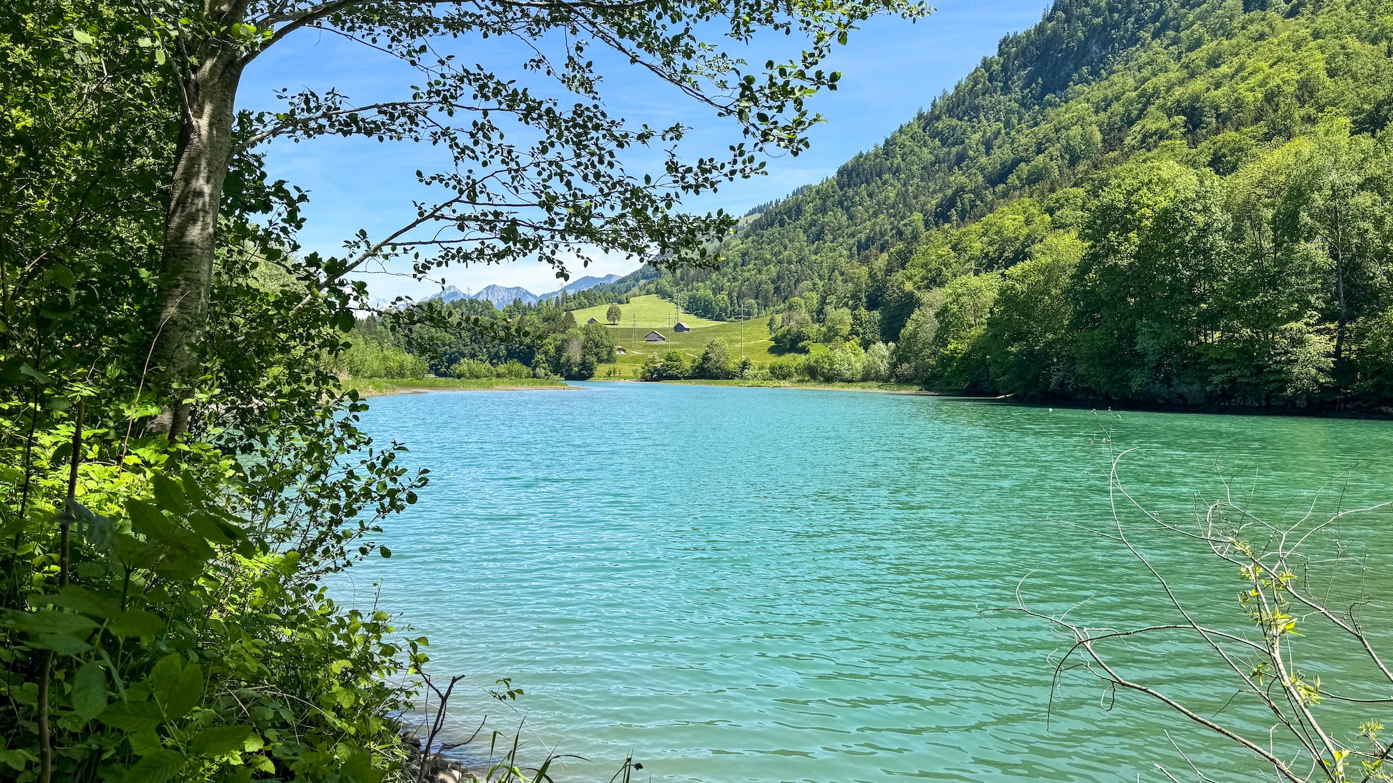
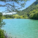
Starting from Montbovon train station, this loop around Lake Lessoc invites you to discover the upper Intyamon valley through its paths, landscapes, and history.
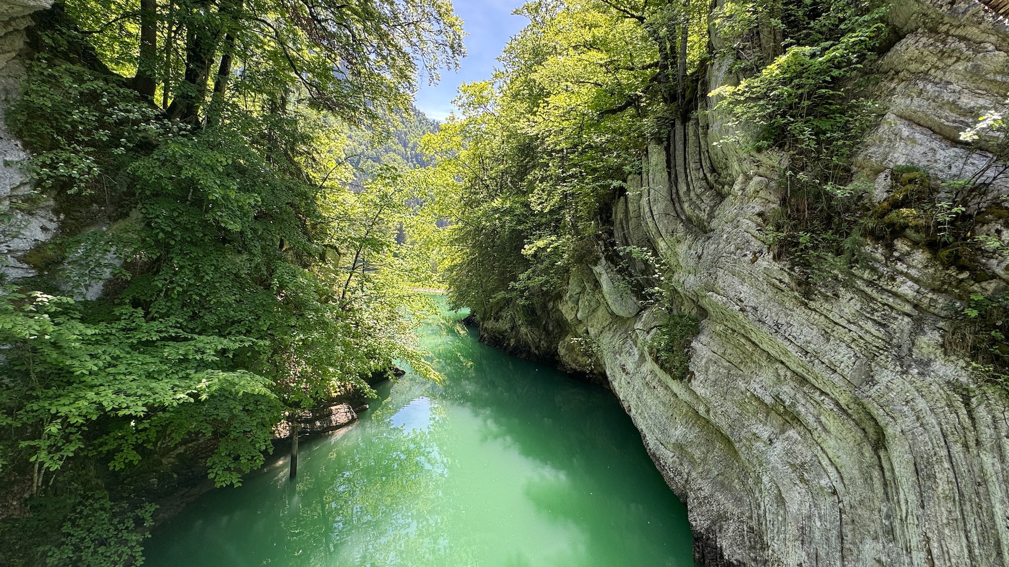
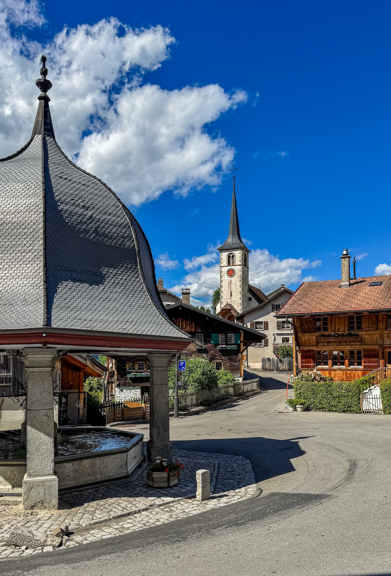
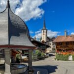
The route runs along the lake, passes by iconic sites of the valley and leads to the village of Lessoc, known for its covered bridge, church, and fountain.
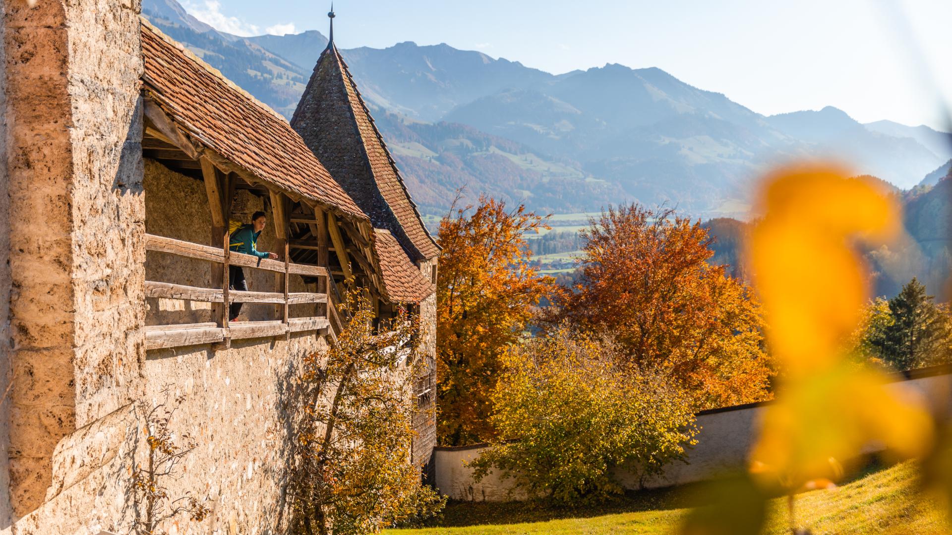
Primarily designed as a discovery hike, the experience takes the time to tell the story of the territory. Throughout the path, an application accompanies the walk like a true pocket guide, offering historical and heritage content that allows for a better understanding of the landscapes crossed, local traditions, ancient communication routes, and the close connection between the inhabitants and their environment.
Information
Parc naturel régional Gruyère Pays-d’Enhaut
Place du village 6
1660 Château-d'Oex
The experience In Search of Fondue begins upon arrival at Montbovon, as you step off the train.
The village does not have parking spaces for this offer. Arriving by train or bicycle is necessary to preserve the tranquillity of the area.
- Route of approximately 6km
- Effective walking time: 1h50
- Total duration of the activity: around 3h
- Loop starting from Montbovon station
- Elevation gain: 203m
Properties of the itinerarie
Type of activity: Family
Difficulty: Easy
Duration: 03:00
Distance: 6 km
Ascent/Descent: +205m / -204m
Altitude min./max.: 774m / 882m
Itinerary type
- Loop itinerary
- Scenic hike
- Family hike
- Educational hike
- Along the water