Region of Fribourg

The tourist region of Fribourg offers you unforgettable experiences... Lake, city or mountains, discover a real land of values!


Fribourg Meeting offers you the possibility to comfortably organize your future seminars or congresses.

Choose a region

La Gruyère
Fribourg
Estavayer-le-Lac
Region
Region
Murtensee
Schwarzsee -
Senseland
Romont Région
Les Paccots
- La Veveyse

What are you looking for?

Choose a region

Welcome to the website of Fribourg Region and its tourist regions. Please select on the map the region you wish to discover and browse through its offers. We wish you a lot of fun!

swiss map
La Gruyere
Fribourg
Estavayer-le-Lac
Region
Région Lac
de Morat
Schwarzsee-
Senseland
Romont
Les Paccots
You are in the region
Search

The Jogne heritage trail

Properties of the itinerarie

Difficulty: Moderately difficult

Duration: 06:00

Distance: 22 km

Ascent/Descent: +692m / -356m

Altitude min./max.: 679m / 1028m

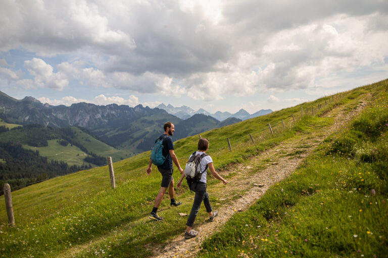
This trail, proposed by the Parc Gruyère Pays-d'Enhaut and the communes of Châtel-sur-Montsalvens, Crésuz, Val-de-Charmey and Jaun, highlights the valley's built heritage and living traditions.

The route from Broc-Fabrique station to the village of Jaun, via Charmey, features almost 60 descriptive panels near buildings or places emblematic of living traditions.

A QR code on each panel provides access to translations and additional information (content and old photos).

The whole itinerary can easily be covered in two stages of around 3 hours' effective walking time.

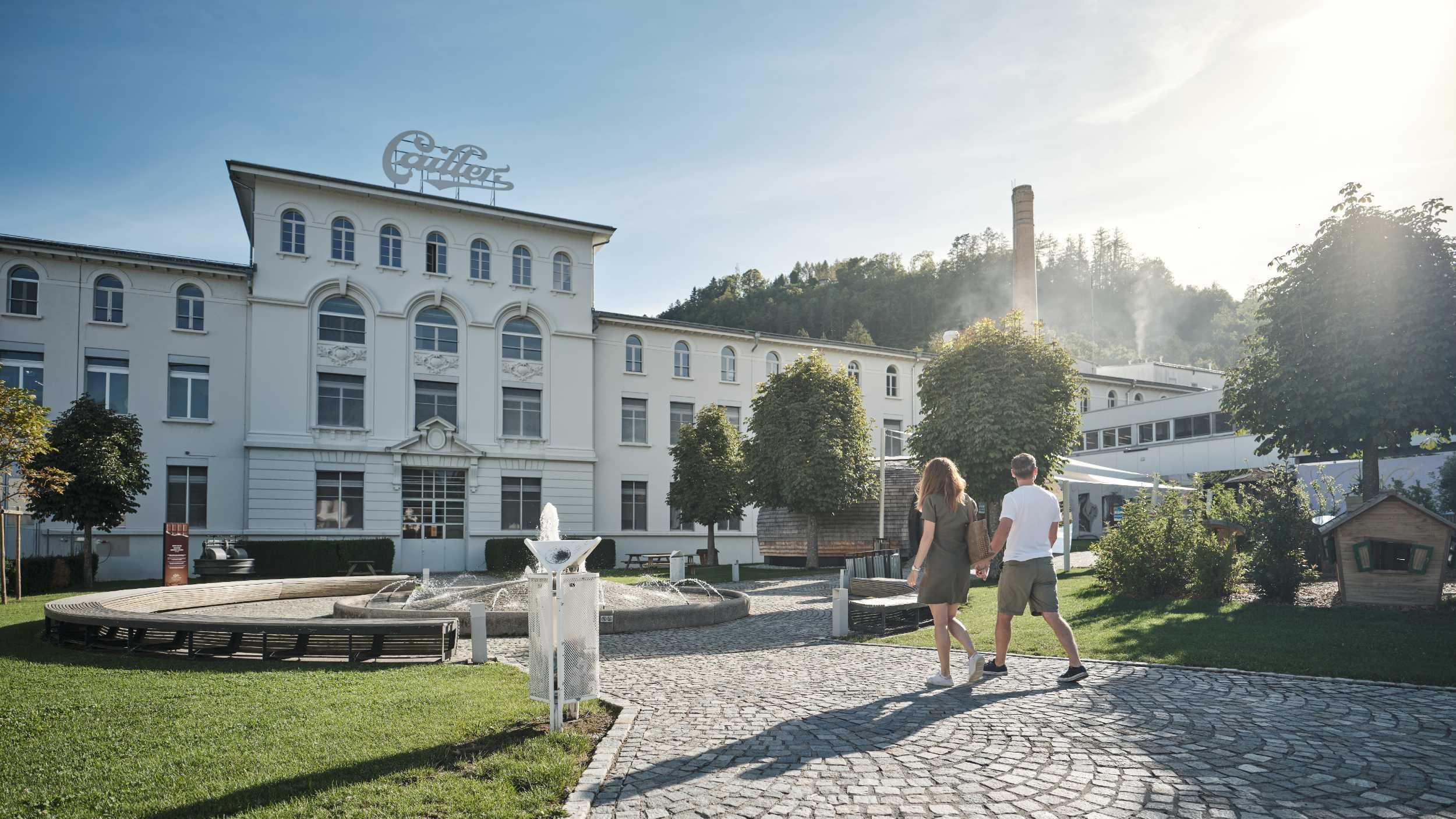
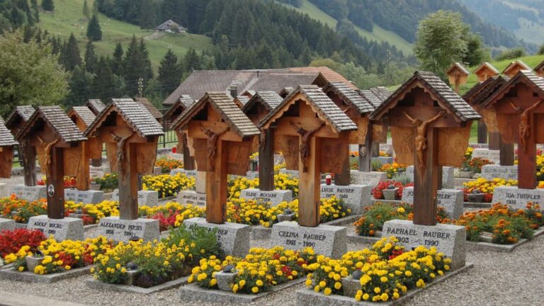
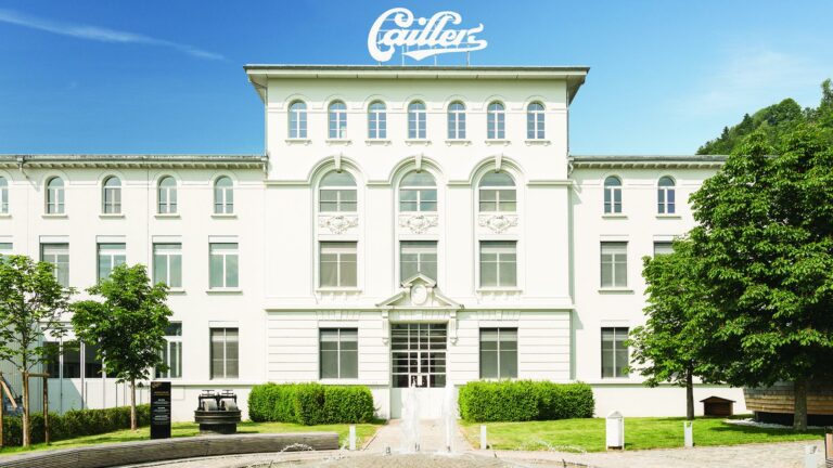
Tip: Start the walk with a visit to La Maison Cailler, then once you've arrived explore the Jaun waterfall or the wooden sculptures in the Jaun cemetery.

Accessible by public transport: yes | Nearest bus stops: Broc, Chocolaterie and Jaun, Bergbahnen.
Accessible by car: yes (Parking at Maison Cailler or in the centre of Jaun)

Discover all the hikes trails in La Gruyère.

Information

La Gruyère Tourisme
Centre commercial Velâdzo (rez inférieur)
Place de la Gare 3
1630 Bulle

Properties of the itinerarie

Difficulty: Moderately difficult

Duration: 06:00

Distance: 22 km

Ascent/Descent: +692m / -356m

Altitude min./max.: 679m / 1028m

Download files

External links

Report an error

More information

We use cookies to provide you with a better experience.

By browsing this site, you accept the Data Protection Policy, as well as the use of cookies to collect statistics for the purpose of continually improving the website.

Close