The Trekking Cabin is divided into three day hikes, the first of which links Jaun to the Chalet du soldat via the Alpin restaurant Buvette des Sattels.
DAY 1
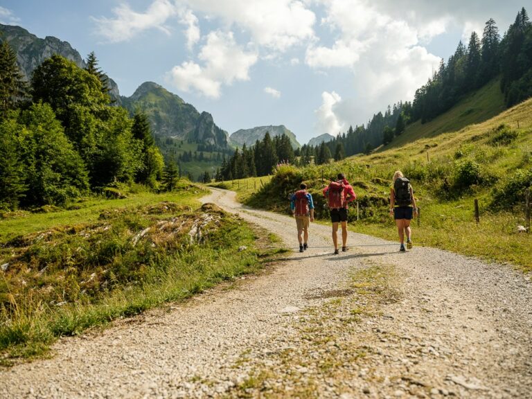
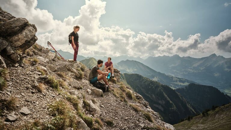
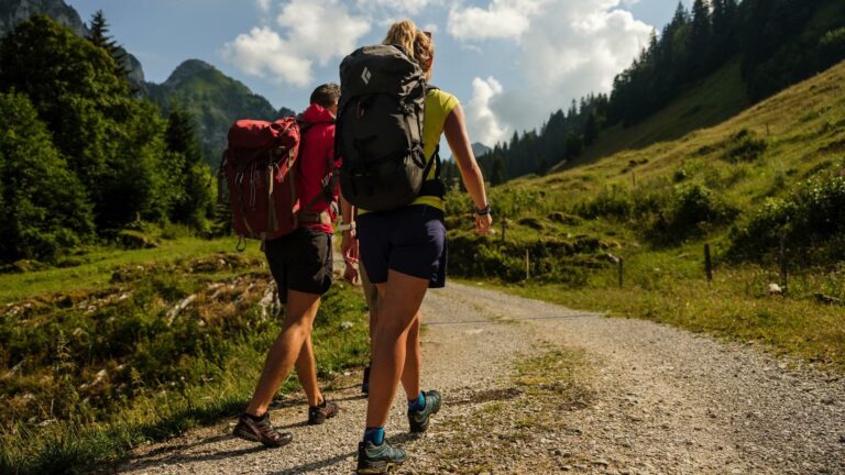
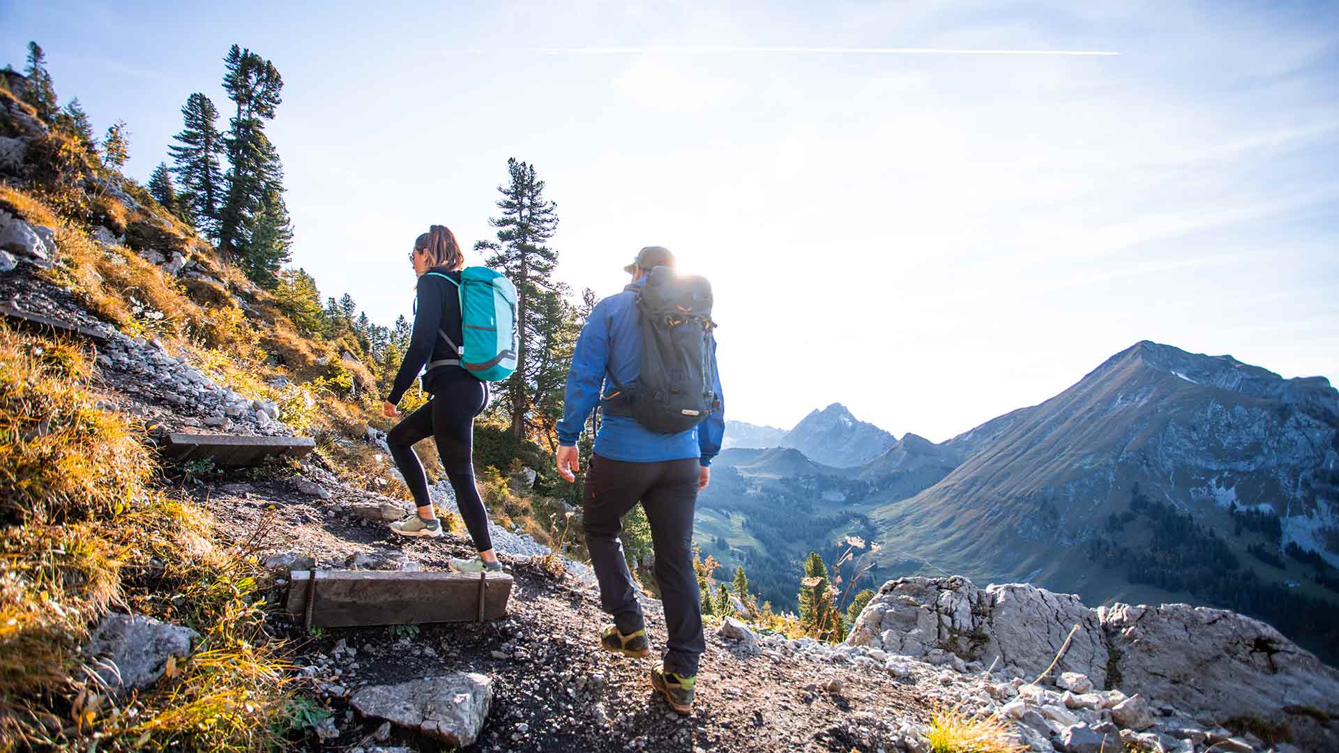
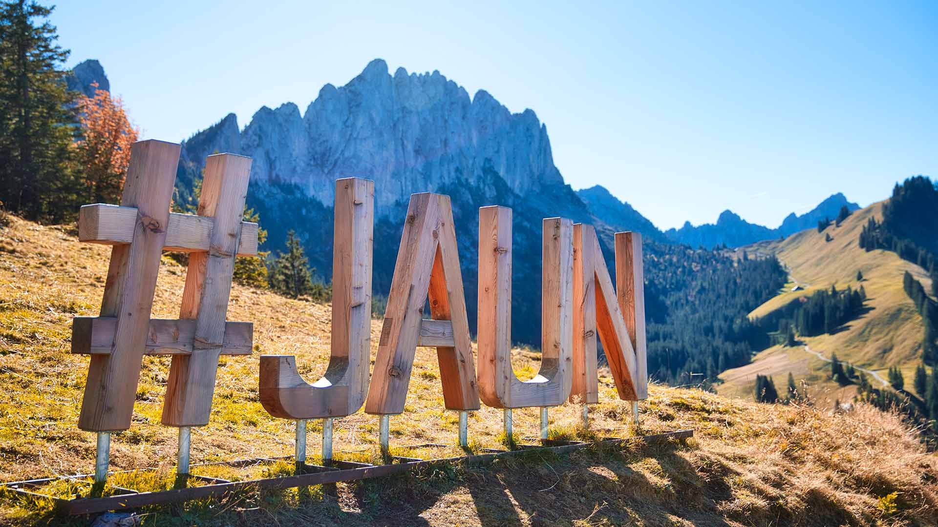
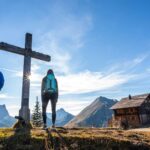
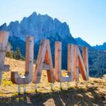
The trek begins in Jaun, the only German-speaking village in the Gruyère region. This first stretch takes you to the Chalet du Soldat, nestled at the foot of the Gastlosen. This famous mountain range—sometimes called the Swiss Dolomites—rises majestically along the trail.
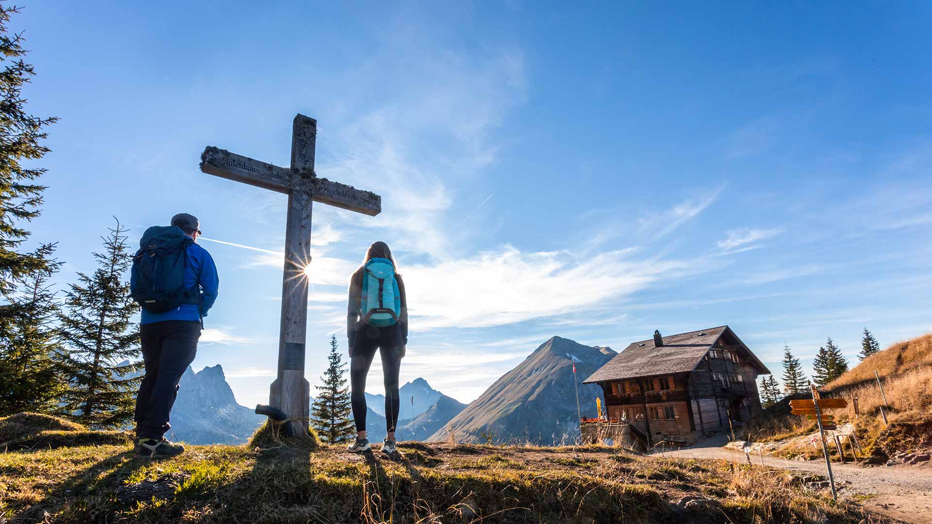
Upon arrival at Chalet du Soldat, you can take in the stunning surroundings and admire the sunset over the mountain amphitheater. This historic lodge offers a warm meal and a peaceful first night’s rest, surrounded by the inspiring calm of nature.
Itinerary:
Hotel Wasserfall in Jaun – Buvette des Sattels – Chalet du Soldat
6 km | 2h30 | 780m+ | Moderate
For stage 2 you'll find all the information you need here.
Information
La Gruyère Tourisme
Centre commercial Velâdzo (rez inférieur)
Place de la Gare 3
1630 Bulle

Properties of the itinerarie
Type of activity: Sports
Difficulty: Moderately difficult
Duration: 02:30
Distance: 5 km
Ascent/Descent: +782m / -39m
Altitude min./max.: 1000m / 1752m
Itinerary type
- Scenic hike