As the Gorges de la Jogne will be closed in 2026, a detour has been put in place.
The Chemin du Gruyère is full of surprises: the wild and romantic Lake Montsalvens, the spectacular Jaun gorges and the well-known Gruyères Castle.
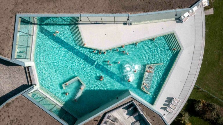
The charming mountain village of Charmey offers numerous attractions: the Bains de la Gruyère, many chapels, the Musée de Charmey and La Valsainte, the last Carthusian monastery in Switzerland. On the scenic mountain Vounetse (1627m), the Alpine cheese dairy reached by aerial cableway, still makes Le Gruyère d’Alpage AOP cheese in the traditional way.
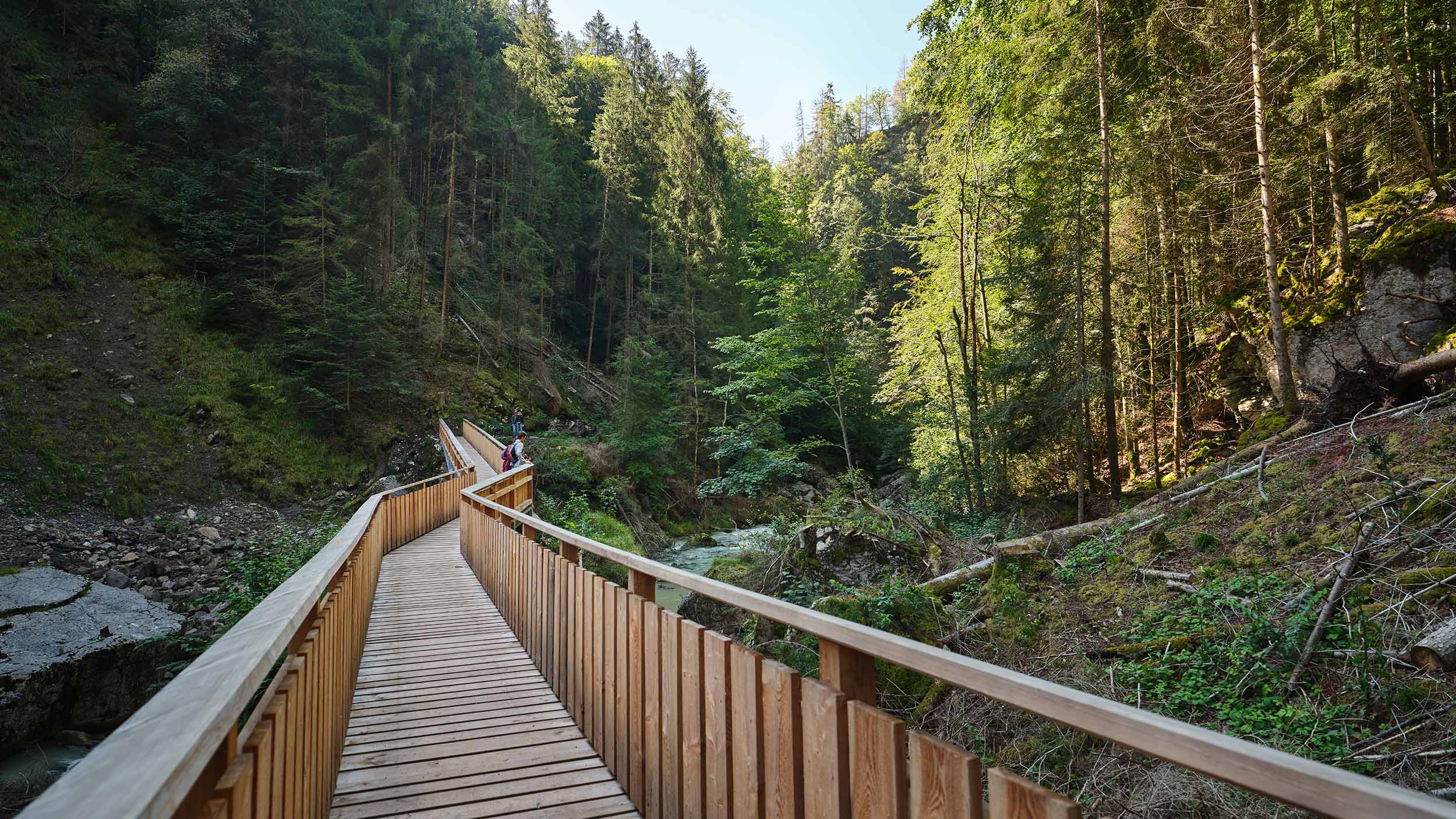
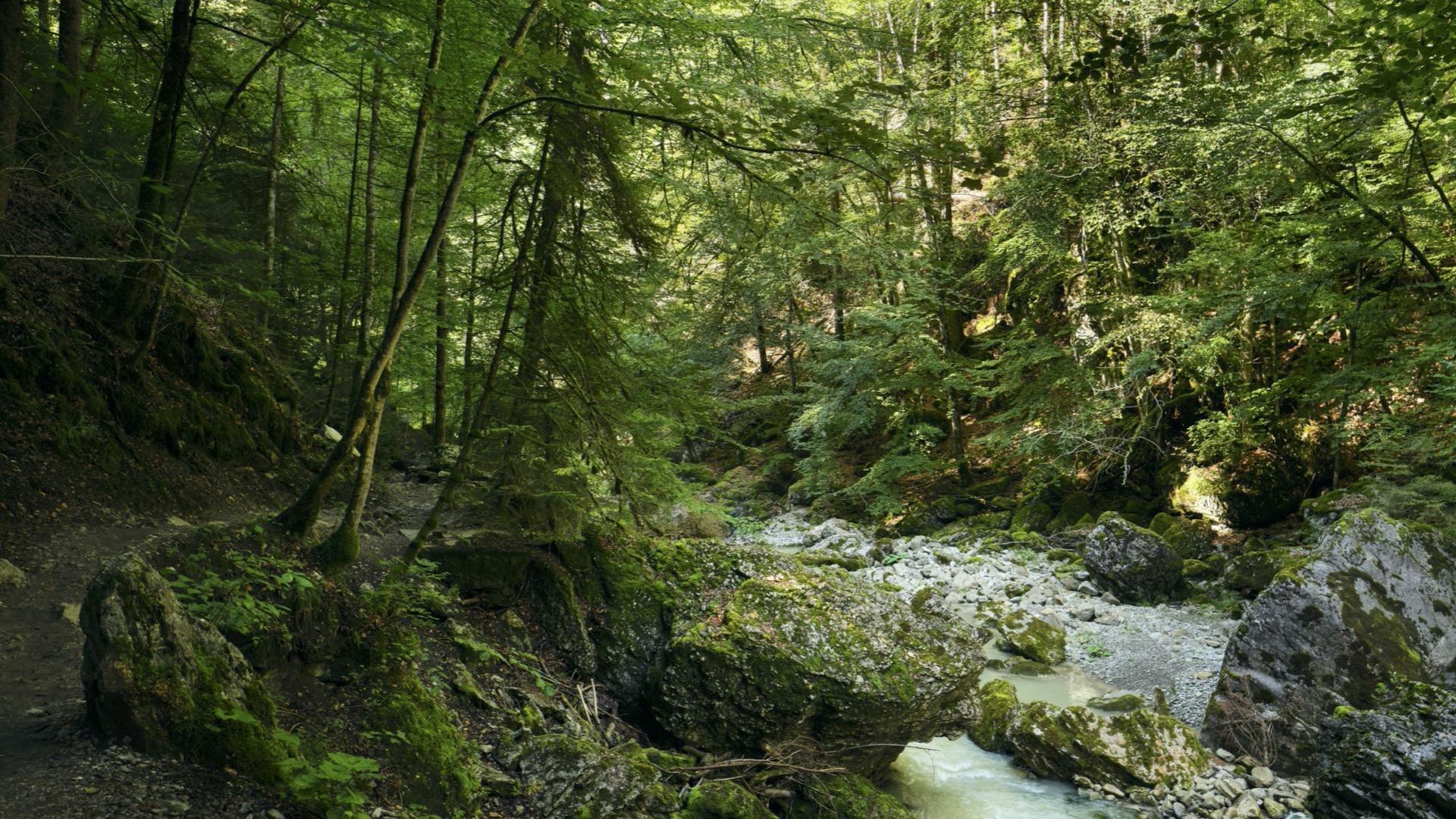
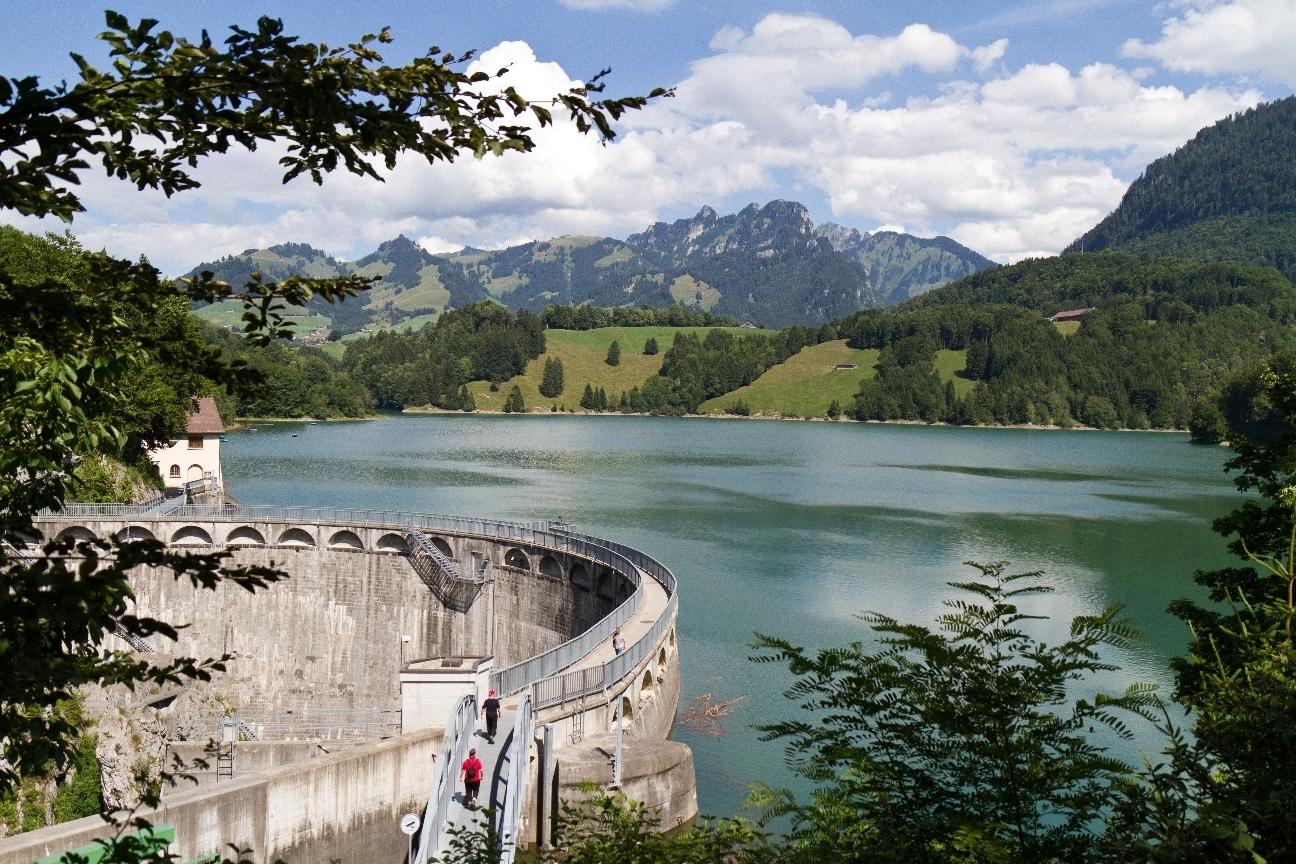
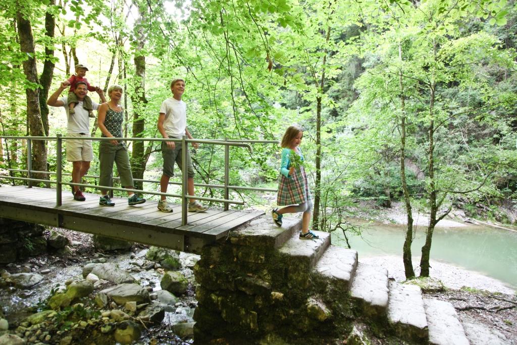
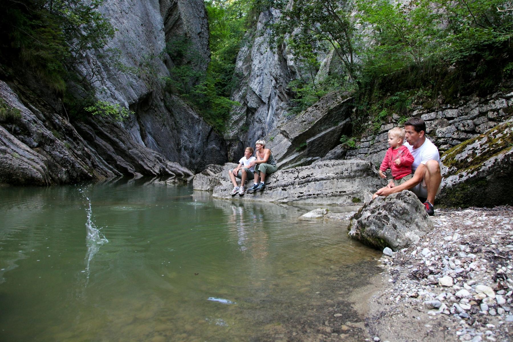
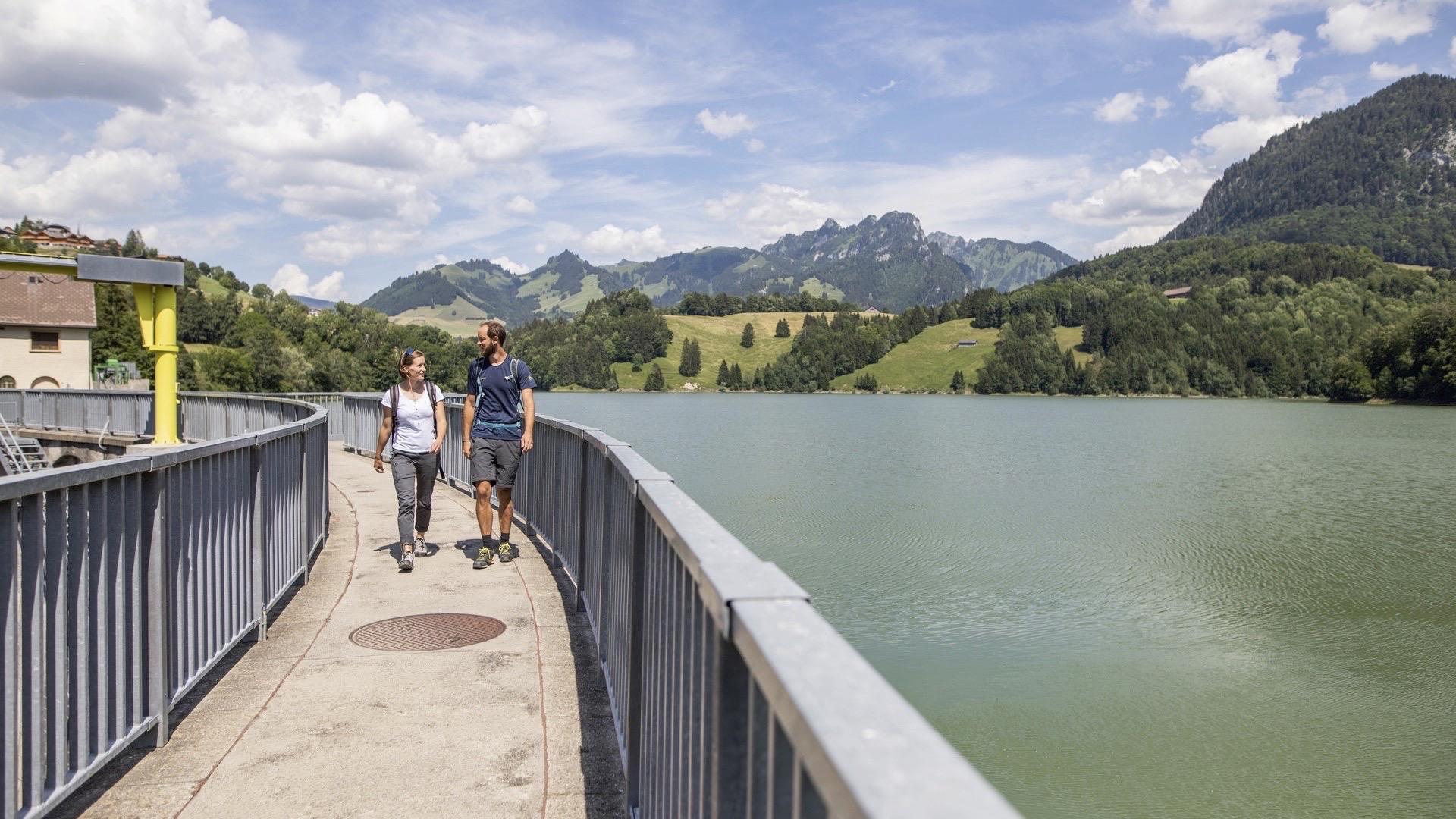
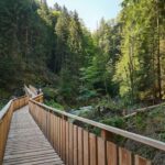
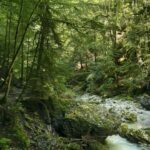
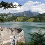
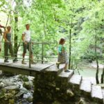
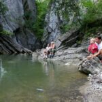
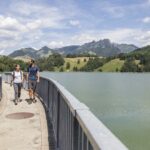
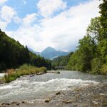
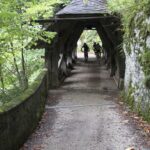
The route follows the edge of Lake Montsalvens to reach the dam, the first construction in Europe with a double-curved vault dating from 1921. The most spectacular part of this hike is the crossing of the wild Jogne gorge by wooden bridges and rock galleries. Limestone cliffs and glacial potholes line the path. A small adventurous excursion for the whole family! In Broc is the old pilgrimage church Notre-Dame des Marches, dating from 1636.
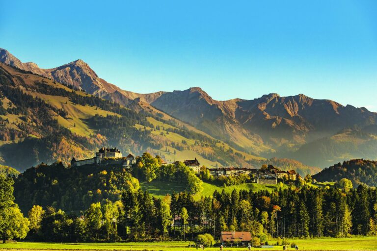
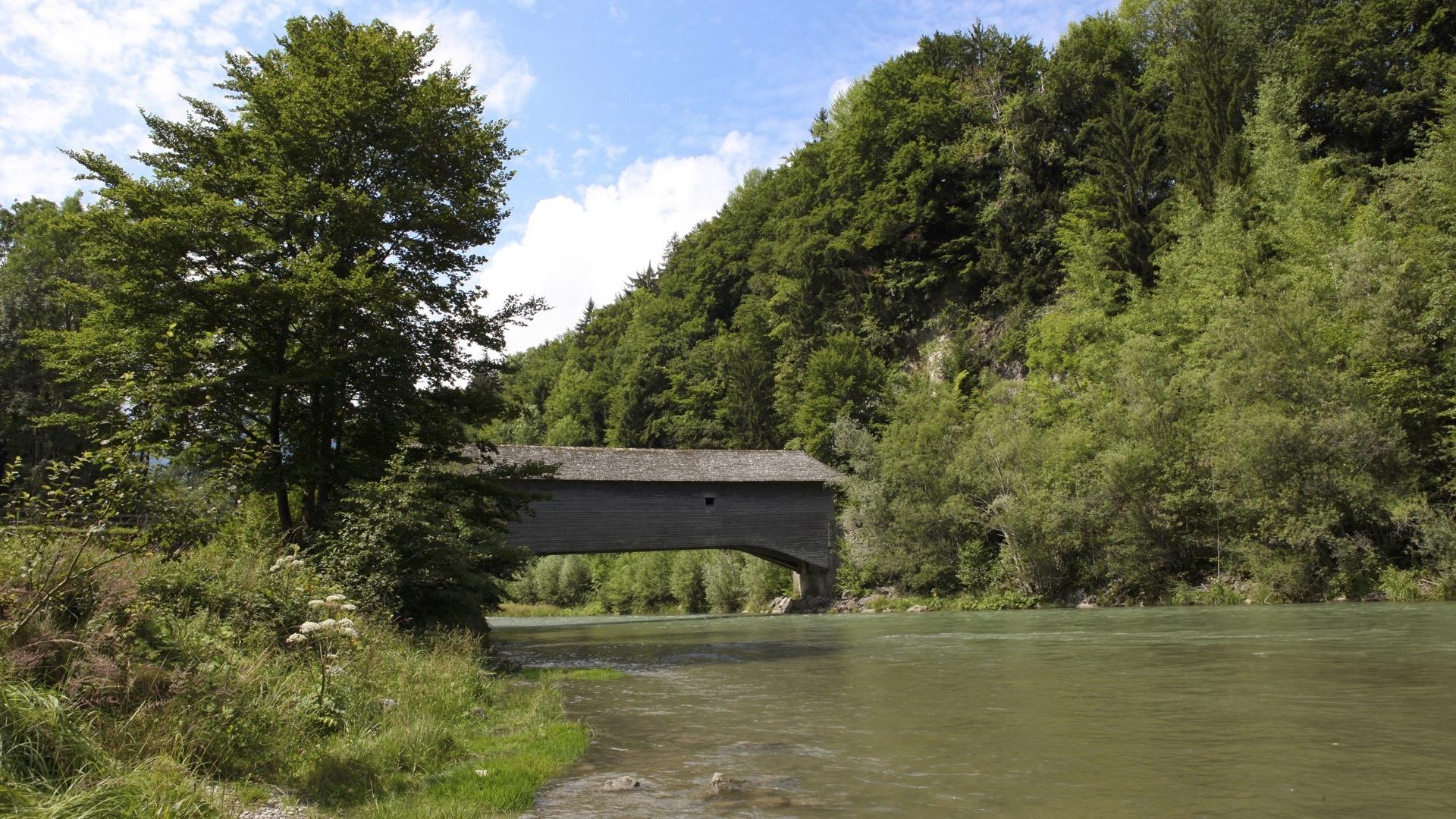
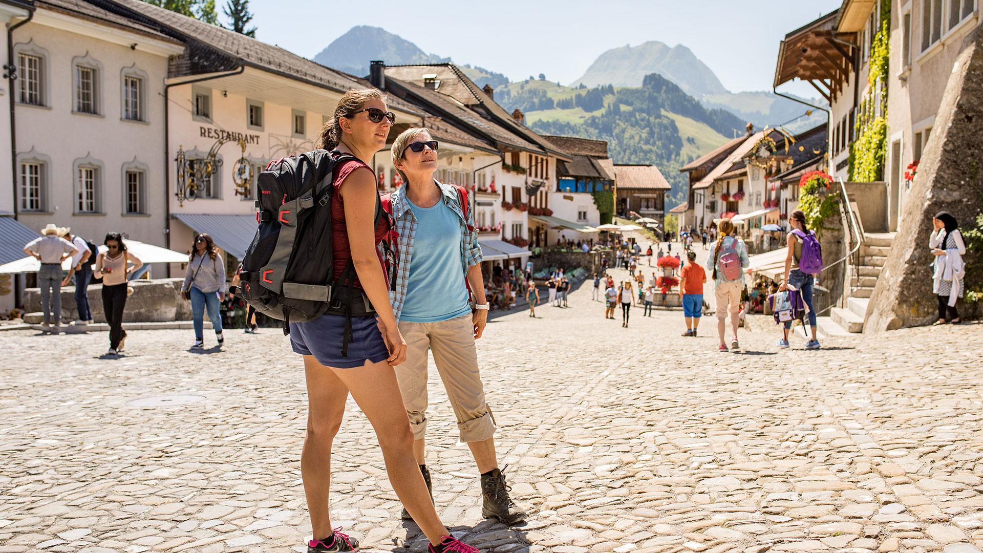
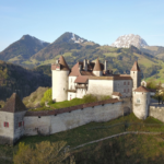
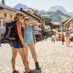
The route continues over the wooden bridge «Pont qui branle» to Gruyères. A visit to the medieval Town and its famous castle becomes a stroll through eight centuries of architecture, history and culture. For example, discover the treasures of the former Counts of Gruyères. The beauty of Himalayan art can be admired in the Tibet Museum, or you can also step into the world of fantastic art by HR Giger.
Tip: for young and old, a visit to Maison Cailler, the Swiss Chocolate Factory, will please your taste buds.
Accessible by public transport: yes | Nearest bus or train stop: Gruyères, gare / Charmey, Village
Accessible by car: yes
Discover all the hiking trails in La Gruyère.
Information
La Gruyère Tourisme
Centre commercial Velâdzo (rez inférieur)
Place de la Gare 3
1630 Bulle
From Broc to Châtel-sur-Montsalvens, the Jogne gorges will enchant you with their wild, unusully beautiful scenery.
The Jaun gorges' path is closed during winter. Learn more


Properties of the itinerarie
Type of activity: Sports
Difficulty: Easy
Duration: 03:15
Distance: 11 km
Ascent/Descent: +452m / -408m
Altitude min./max.: 691m / 911m
Itinerary type
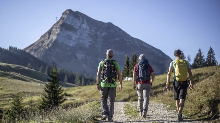
- Family hike
- Along the water