This 3-day tour invites you to discover La Gruyère between Charmey, Jaun and the Gastlosen.
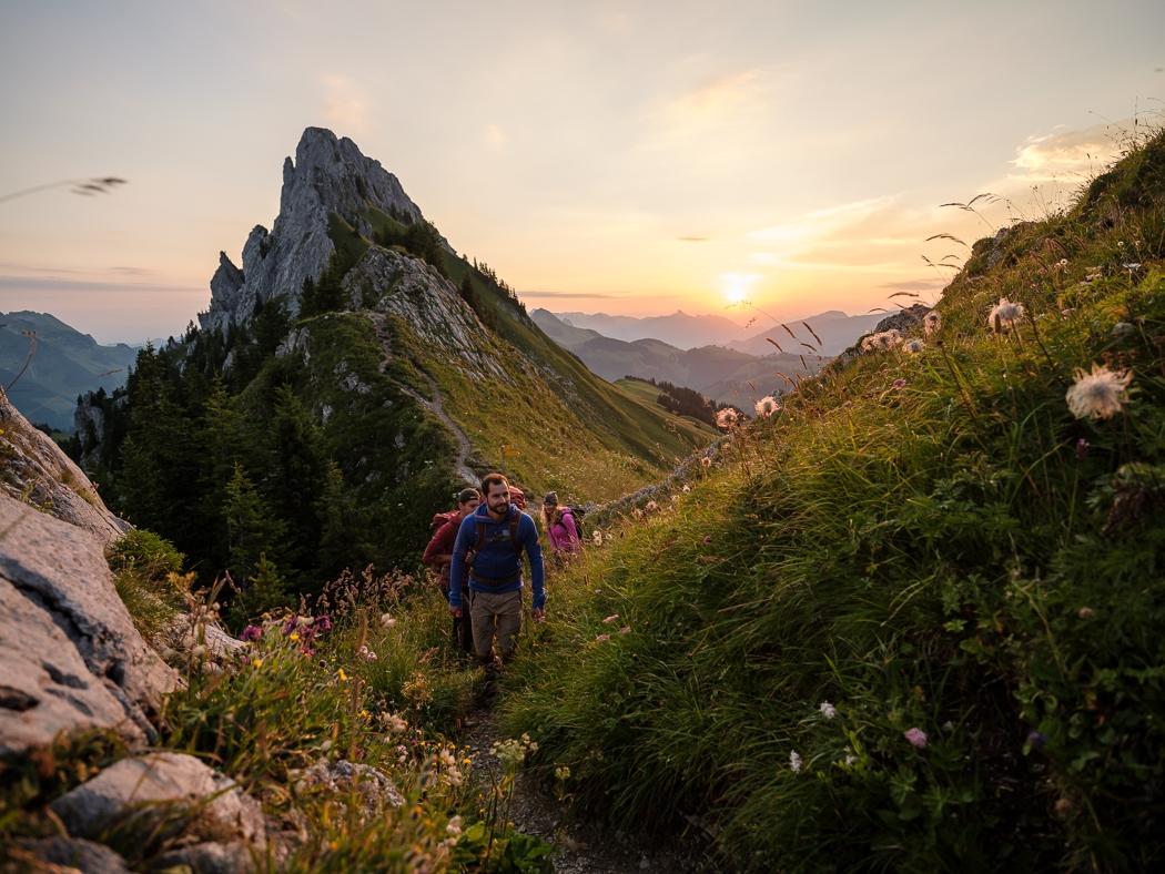
From Charmey to the Chalet du soldat, in the Jogne valley, immerse yourself in the charm of the Gruyère Pre-Alps, away from the daily hustle and bustle. Experience 3 days of hiking in the heart of nature from Charmey, around the magnificent Gastlosen chain, nicknamed "the dolomites of Switzerland".
DAY 1
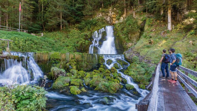
The first stage will take you from Charmey to Jaun through the Jogne Valley, along the river. It is ideal for preparing for the next day, the hike is without difficulty.
Charmey (887 m) – Jaun (1014 m), overnight in Hotel Wasserfall
10.7 km | 2h45 | 223m+
DAY 2
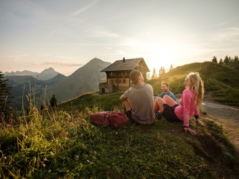
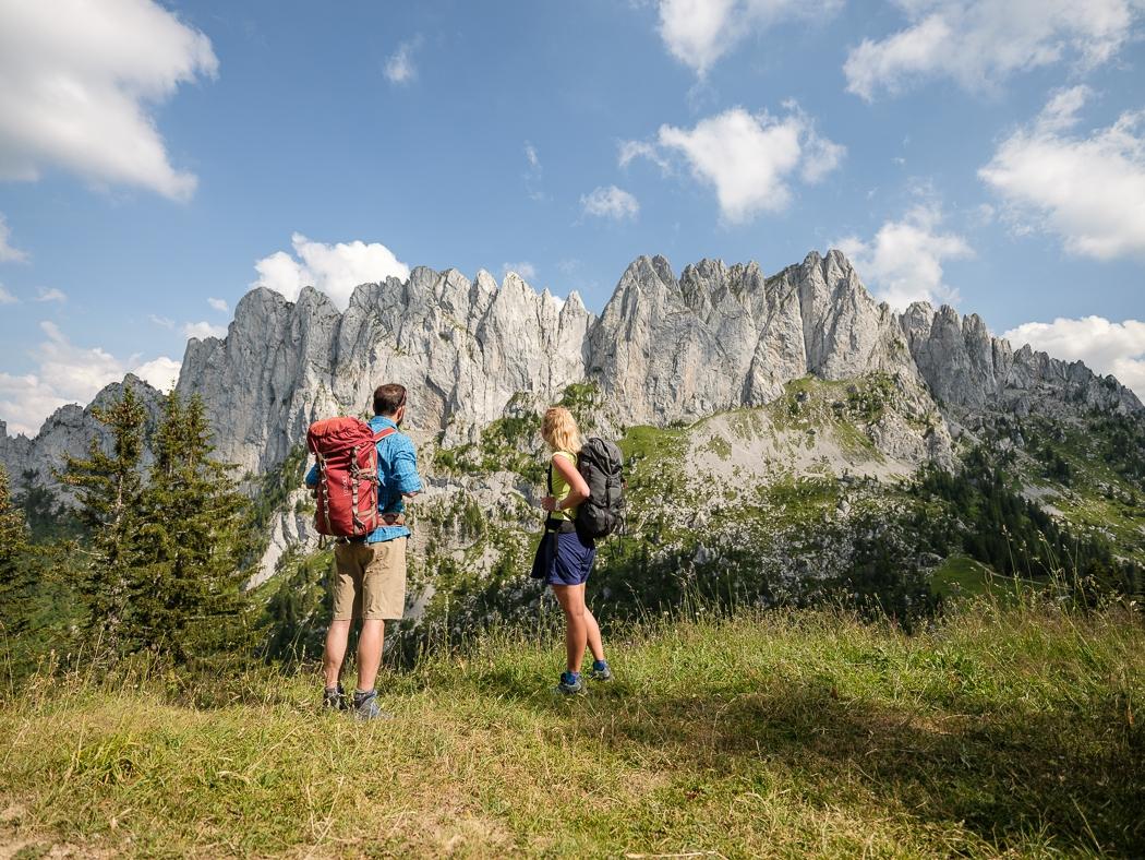
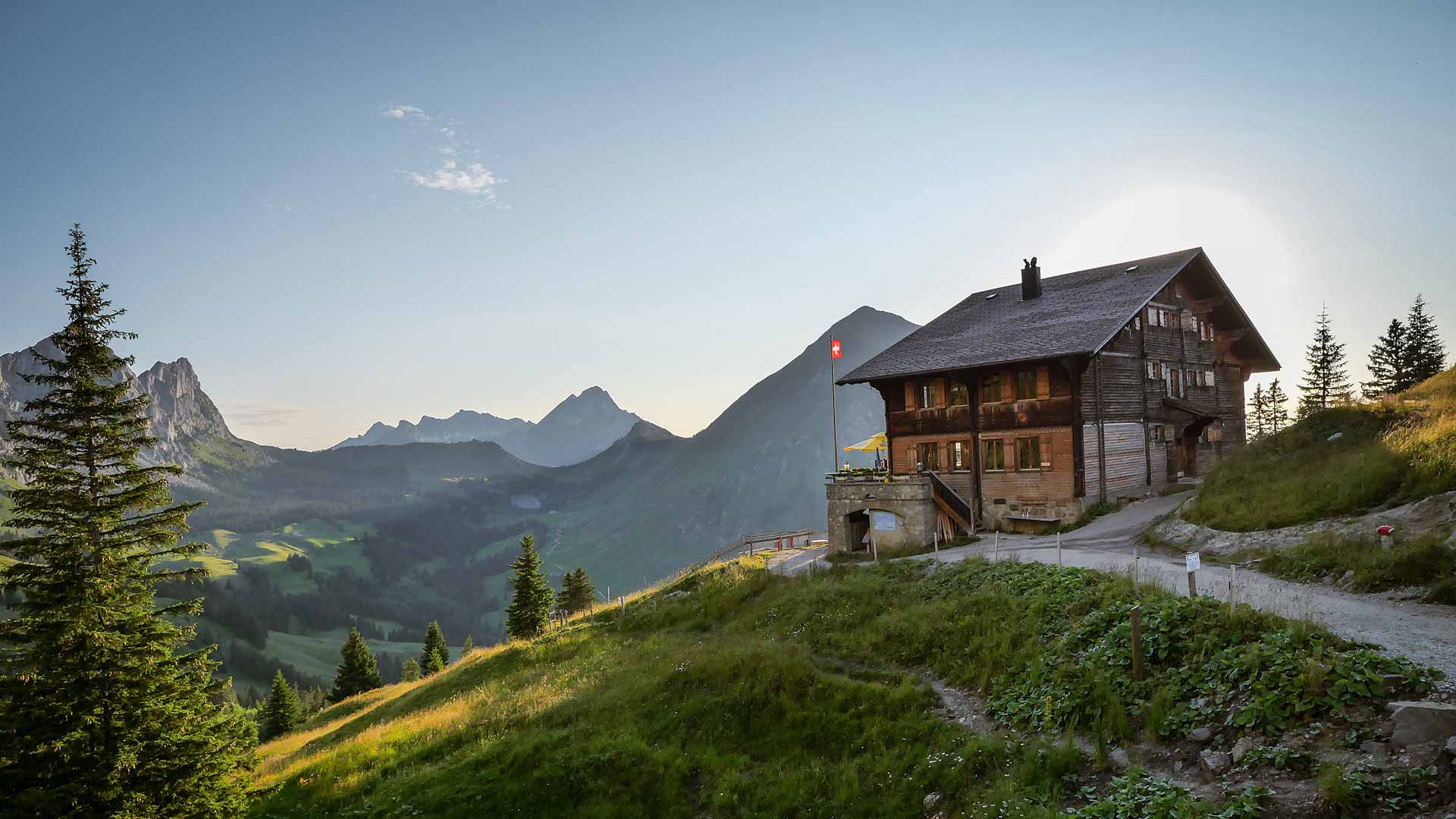
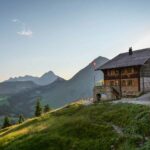
The second stage will take you to the foot of the majestic Gastlosen, a superb path close to the summits with the crossing of the famous Col du Loup before arriving at the Chalet du Soldat, a small jewel perched on its high peak with breathtaking panoramic views.
Jaun (1014 m) – Chalet du Soldat (1752 m) through the Chalet Grat and Wolfpass
9.5 km | 4h15 | 1144m+ | moyen
DAY 3
The third and last day of the walk is done in the middle of nature through the primary forest of Lapé and the valley of Gros Mont before returning to the village of Charmey.
Chalet du Soldat (1752 m) - Charmey (887 m) through the "Sentier des chalets d'alpage"
19 km | 5h30 | 464m+ | 1340m- | moyen
Information
La Gruyère Tourisme
Centre commercial Velâdzo (rez inférieur)
Place de la Gare 3
1630 Bulle
Overnight bookings are made directly with the establishments according to their opening days and availability.
- Day 1: Hotel Wasserfall
- Day 2: Chalet du Soldat
You can find the complete Road book here.
Enjoy your trek!


Properties of the itinerarie
Type of activity: Sports
Difficulty: Challenging
Duration: 12:30
Distance: 38 km
Ascent/Descent: +1804m / -1804m
Altitude min./max.: 856m / 1928m
Itinerary type
- Loop itinerary
- Scenic hike